Interactive Map – how to use
On a PC, drag the map around and zoom in/out. On a mobile device, use 2 fingers to move the map around and to pinch for zoom. Click or tap on a track or a waypoint dot for more details about that feature. Mouse or finger slide over the elevation profile graph and look to see where that point is located on the map as you move along it.
Click the white arrow in the lower right corner of the main map to expand a mini-map that gives reference to the surrounding area around it.
Download this map file for your own use:
Download the tracks and waypoints files in various different formats via clicking the small icons on the top right corner (GPX, GeoJSON, KML, or GeoRSS) and saving to your computer/mobile. GPX format is the most versatile, and has all track and waypoint data. The KML download feature currently is only providing some waypoints, but no track data.
![]()
Mouse over this icon (if visible) in the upper right corner of the map to get an option to select an individual track section for which you’d like to see details, or to see it on the elevation profile graph below the map. (for maps with multiple tracks only)
![]()
Date: August 9, 2017
Distance: 12.3 miles
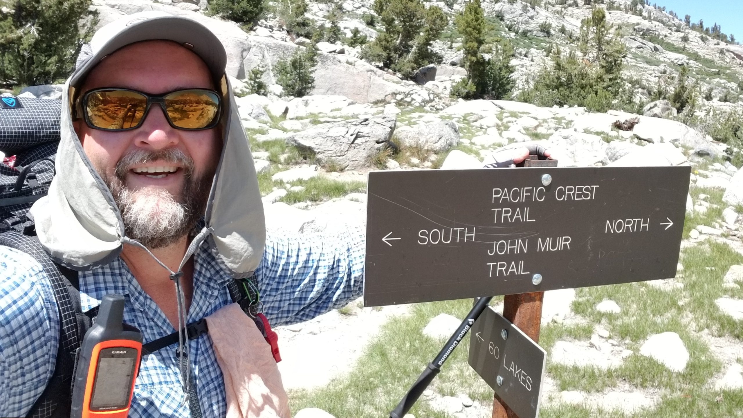
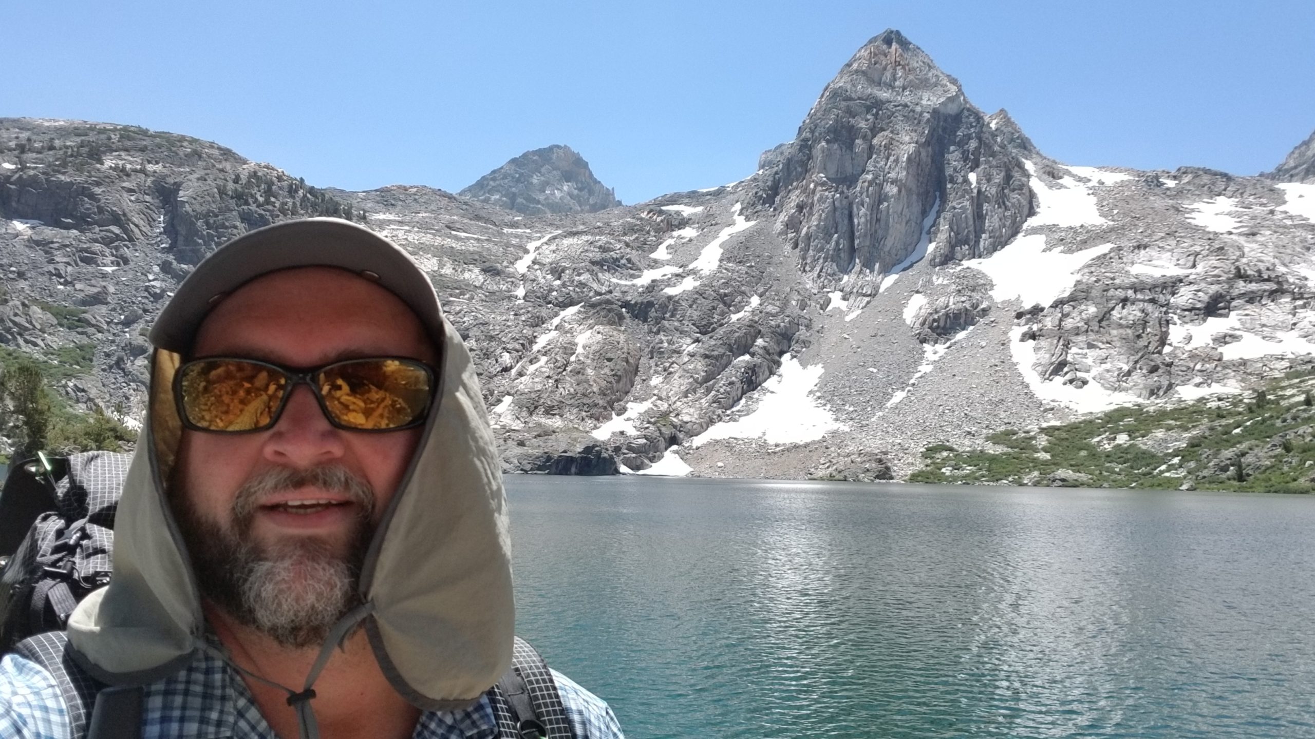
Today was supposed to be my first big day. After only having to hike for less than 9 miles yesterday, I was in for a 13 miler and a pass that I have been dreading – Glen Pass. The online comments were all about how dangerous and fear-inducing Glen Pass is on a heavy snow year, so I was a bit on edge about what would lie ahead. I was anxious, nervous, and rather excited to finally see this beast and get a crack at conquering it — and my fears of heights and angled snowpack.
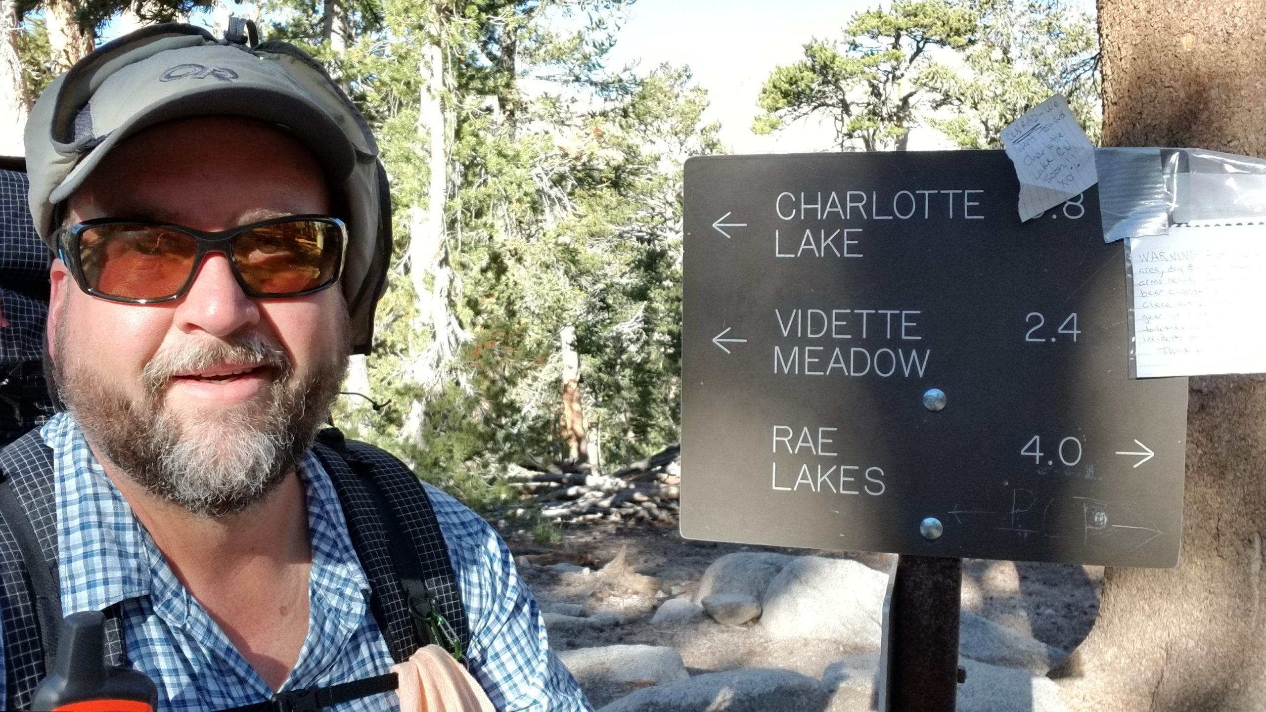
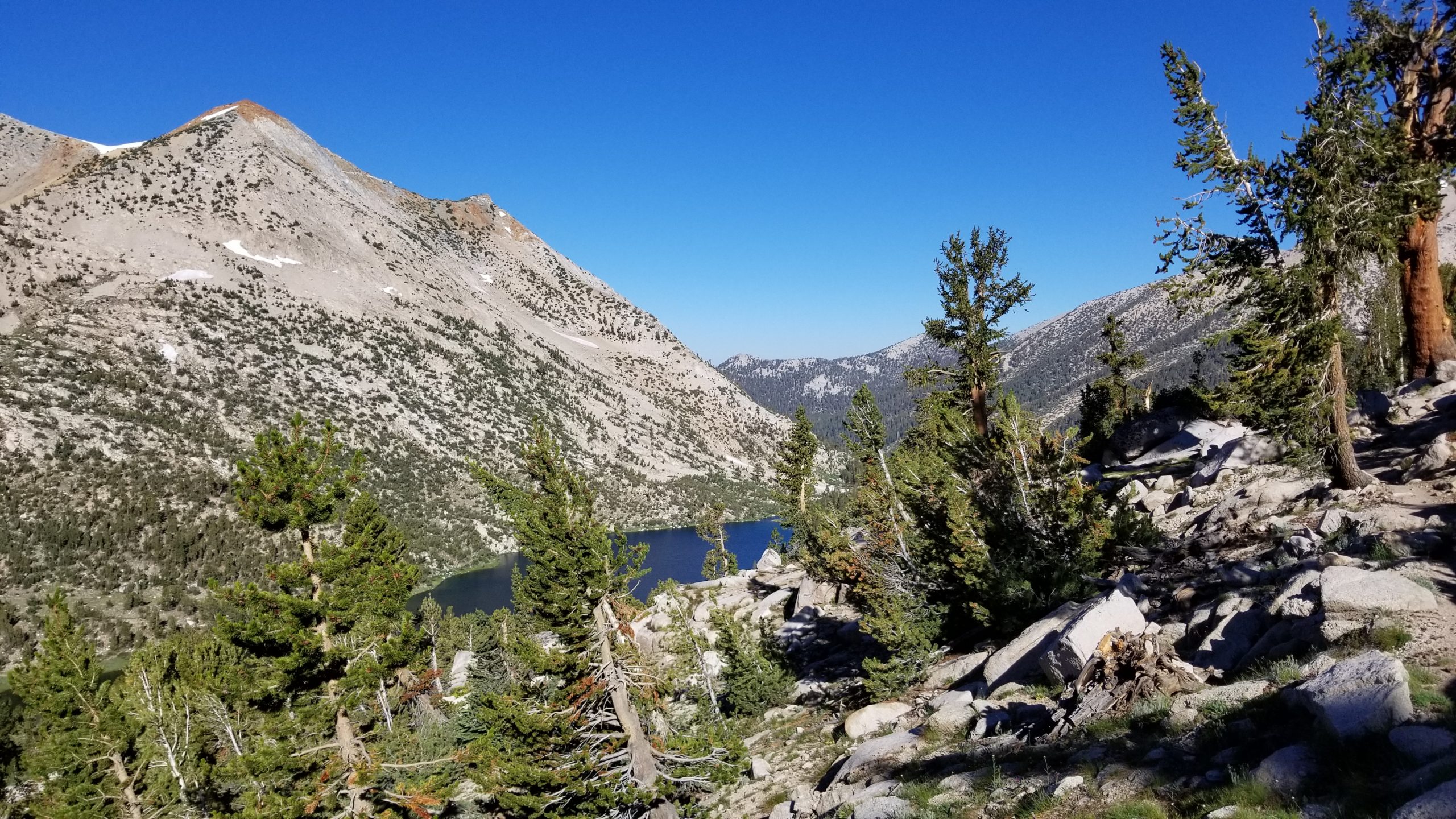
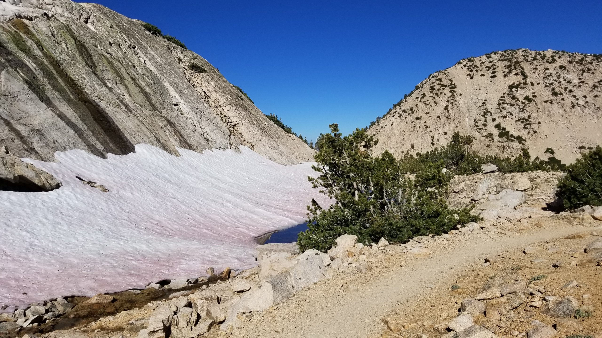
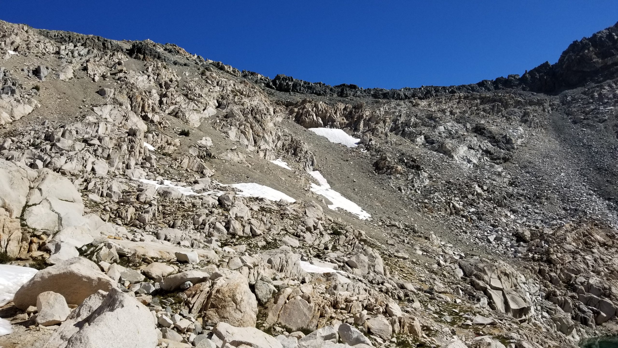
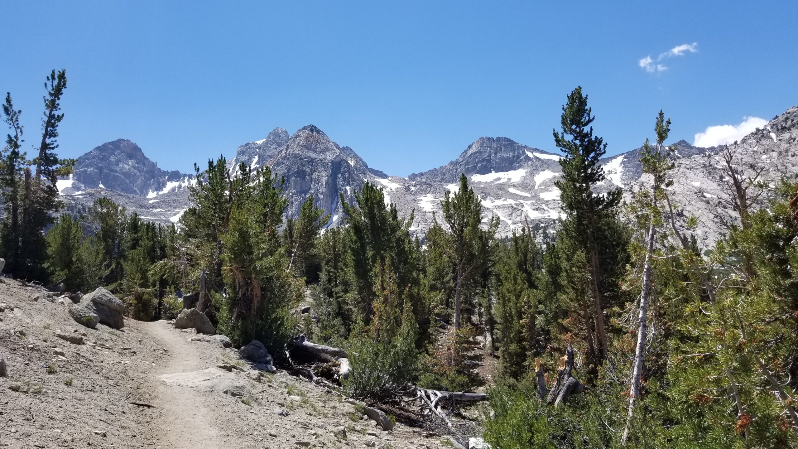
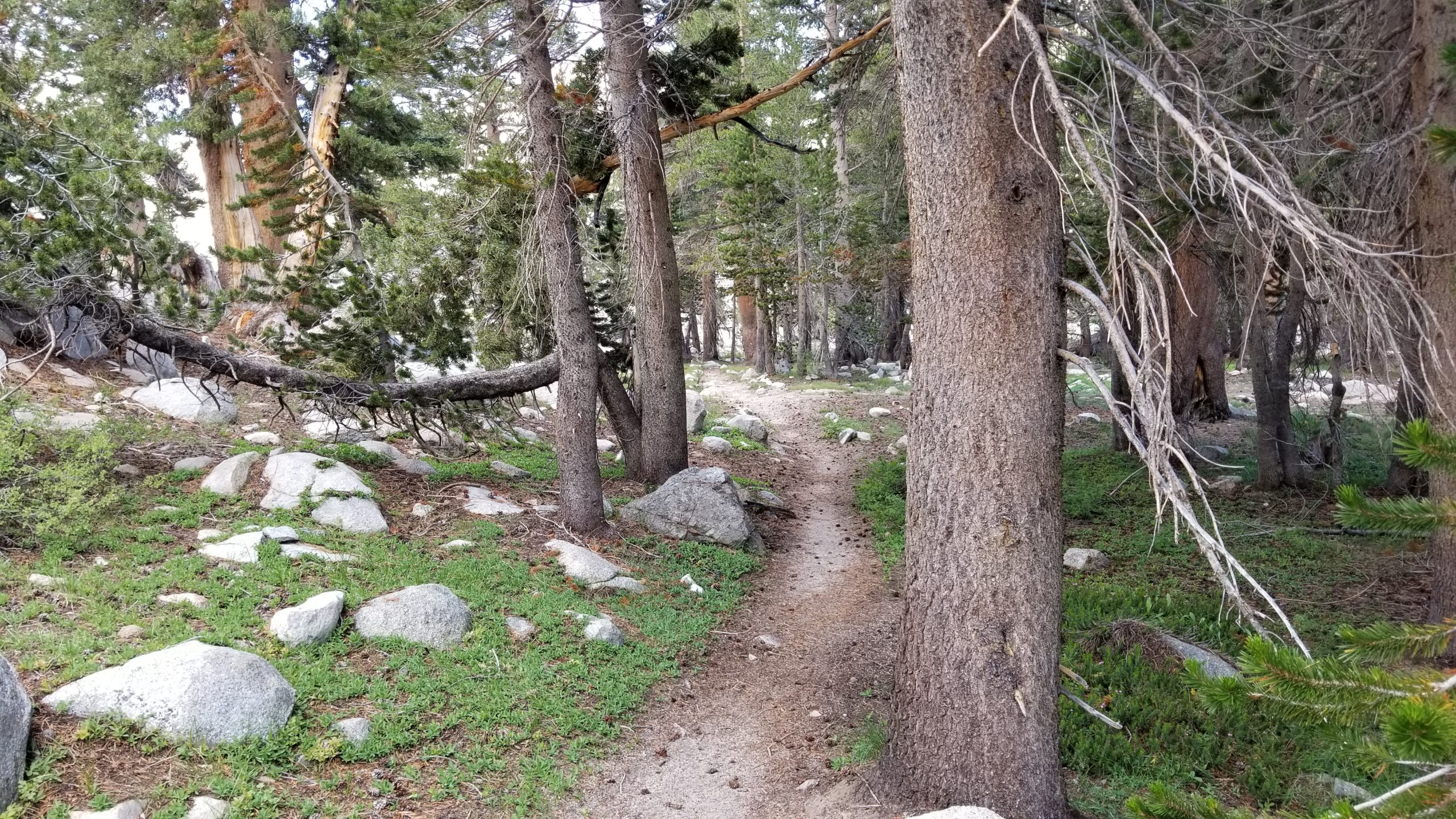
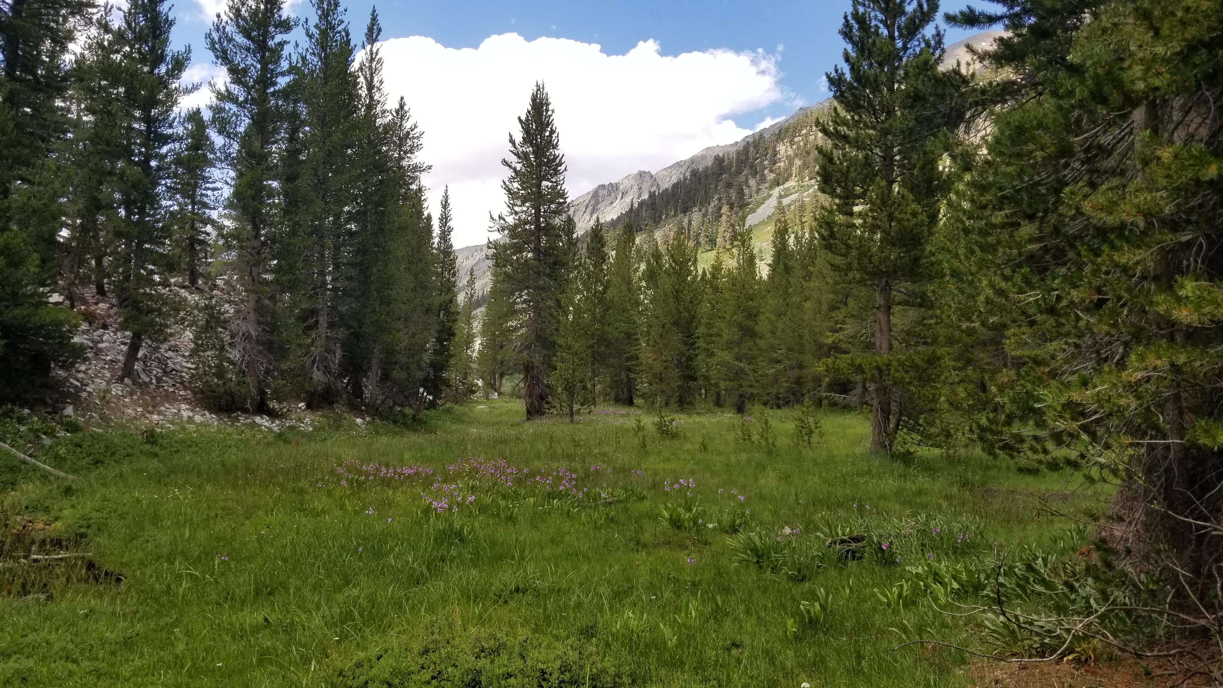
After a quick 200′ climb out of the Charlotte Lake basin, I headed north back onto the John Muir Trail and wouldn’t be leaving it for over 100 miles. Forest quickly turned to barren alpine within the first mile, and it was time to start climbing the base of Glen Pass. The first sizable snowpack I encountered was at an unnamed lake.
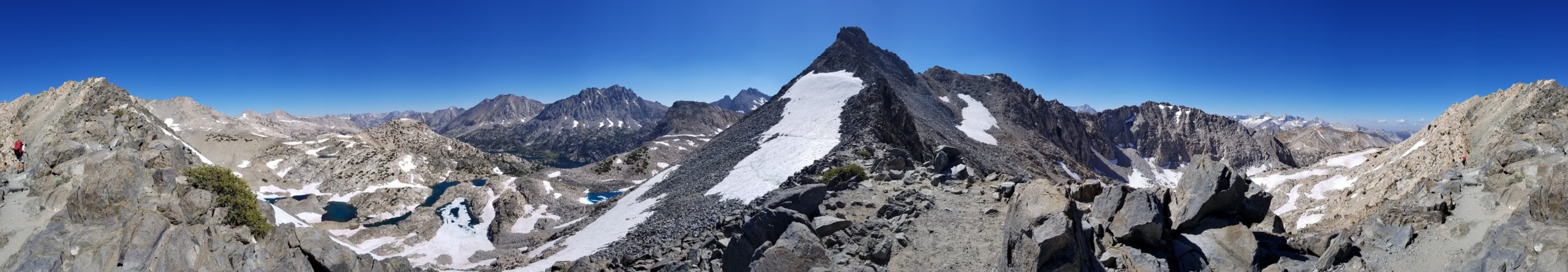
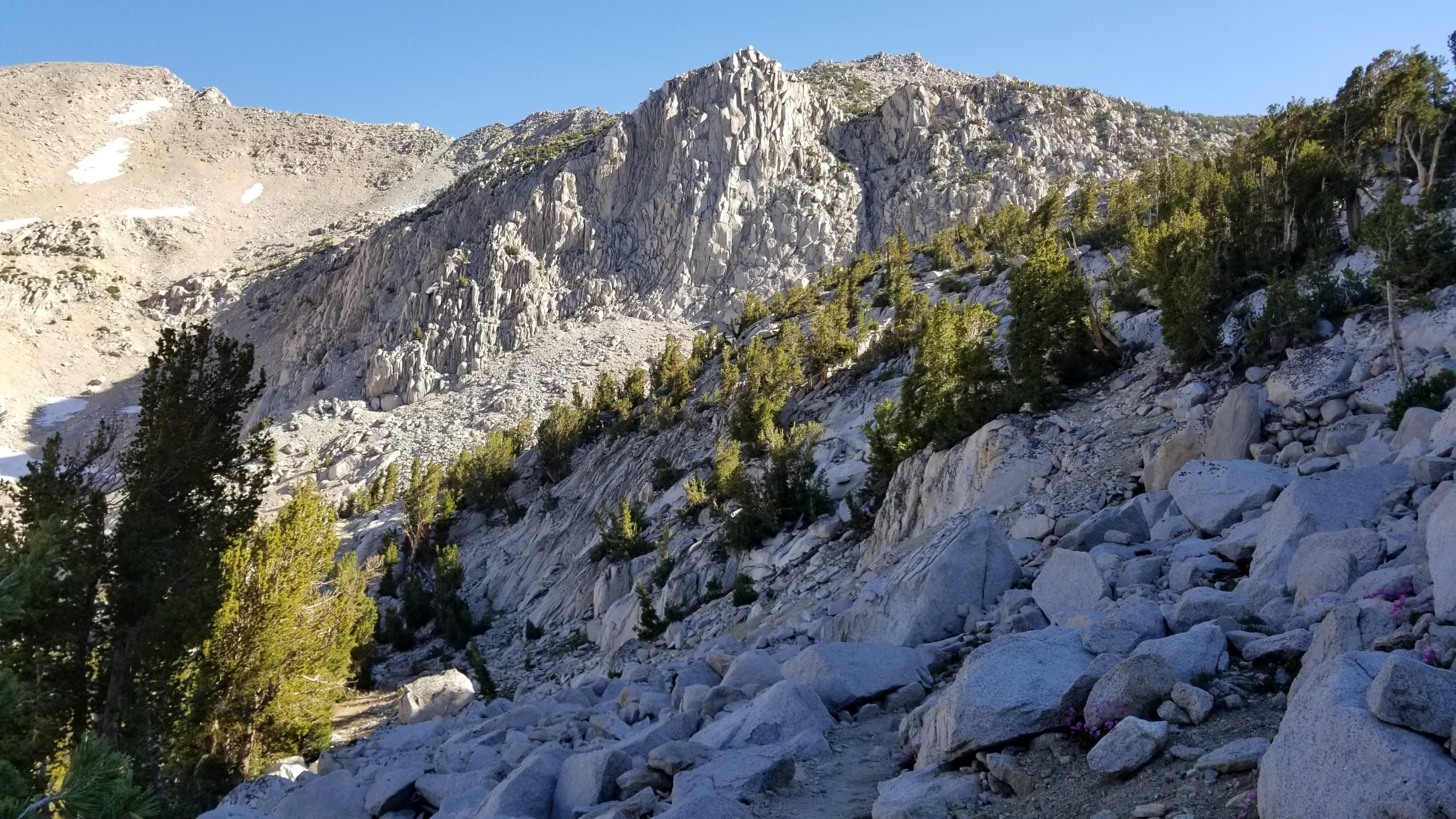
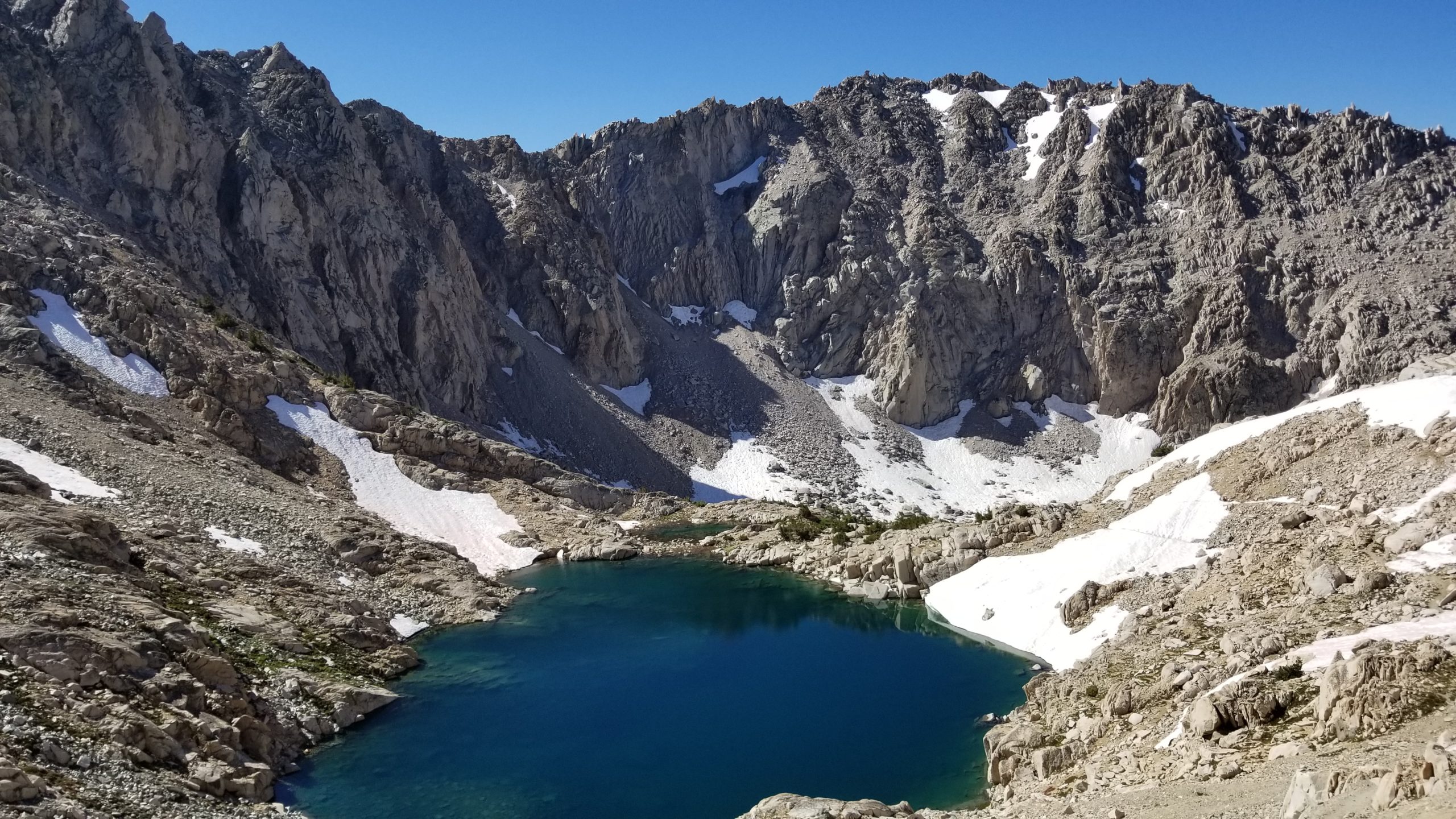
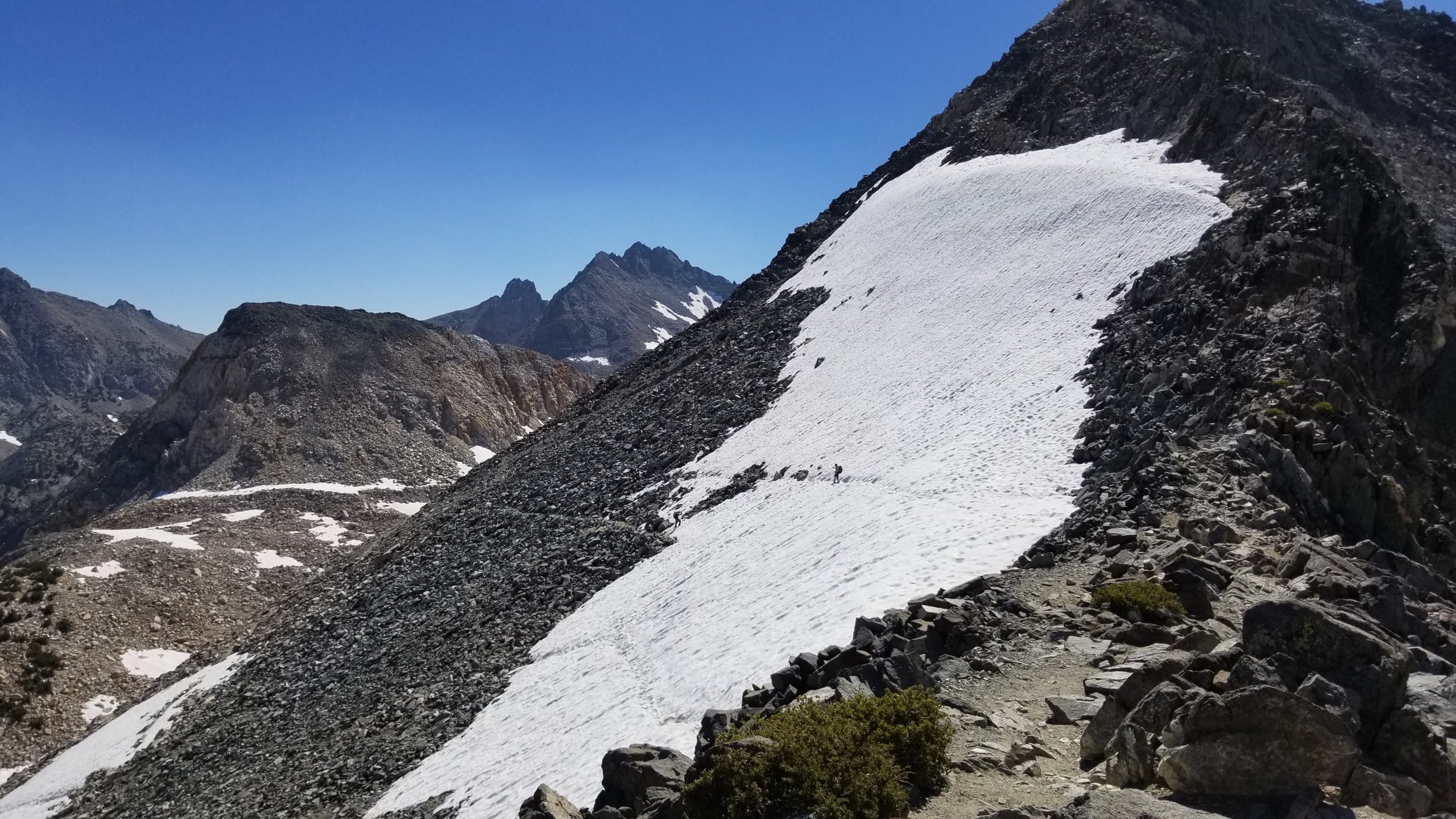
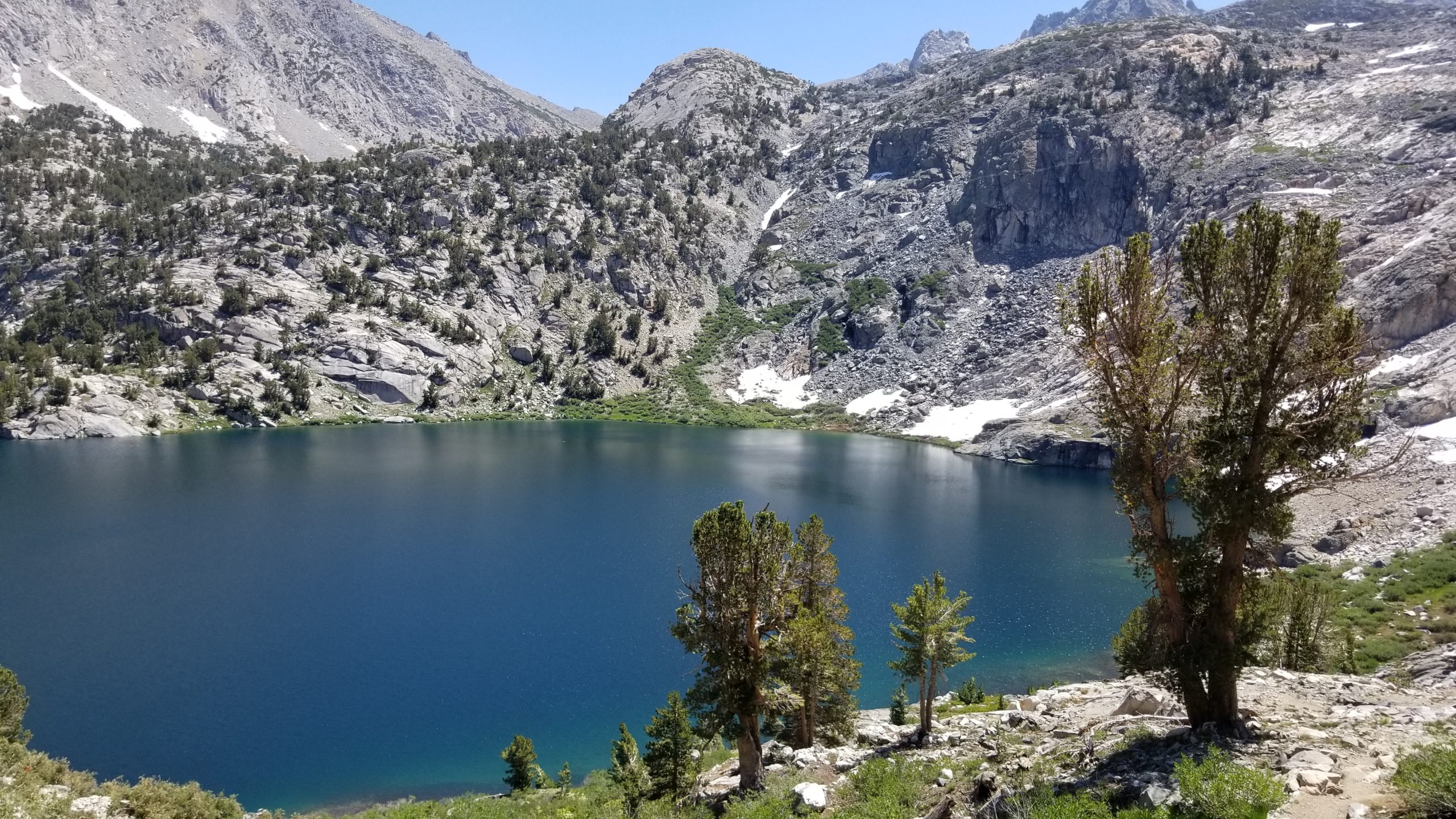
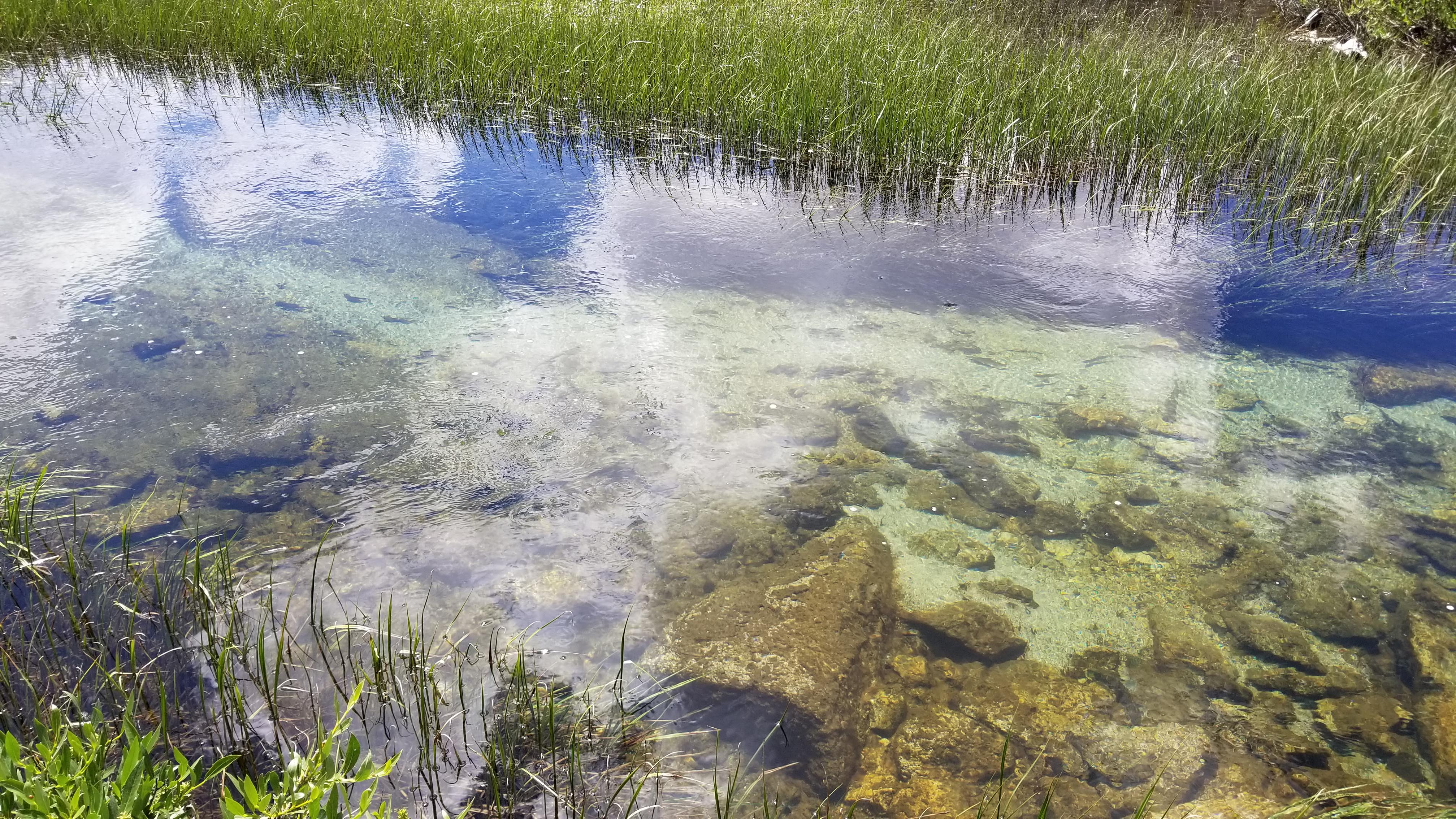
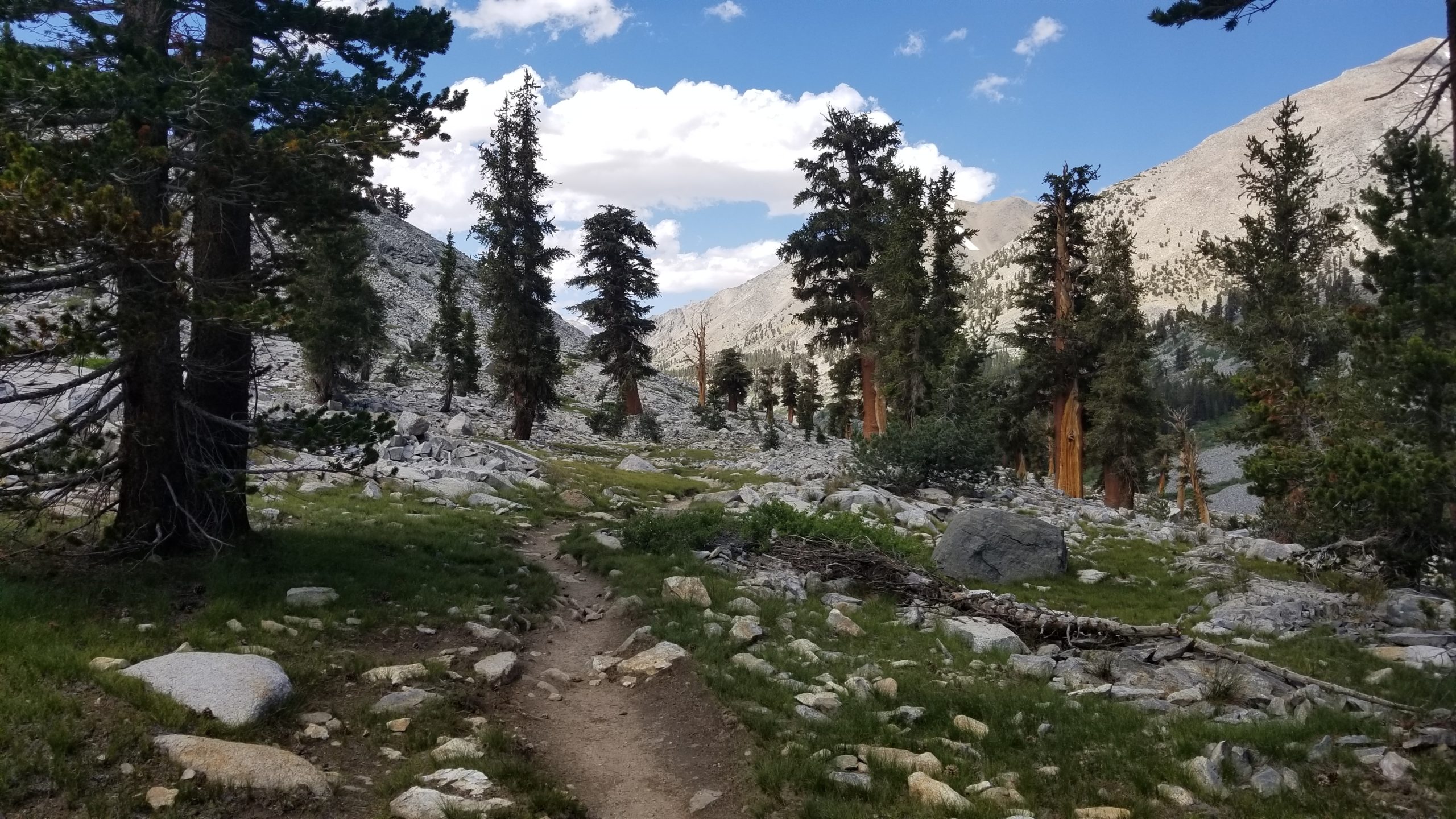
With only a mile to go before getting to the top of Glen Pass, I passed by 2 unnamed lakes in the basin south of the pass. The first smaller one was almost completely ice-covered, and the trail turned uphill to the north to start a long series of switchbacks up to the narrow “dragon spine” ridge that is Glen Pass. I keep turning around to capture the view of this basin and admire the turquoise waters of the lakes below. After crossing 2 more snowfields and climbing what I discovered to be an easy set of switchbacks, I was finally almost to the top.
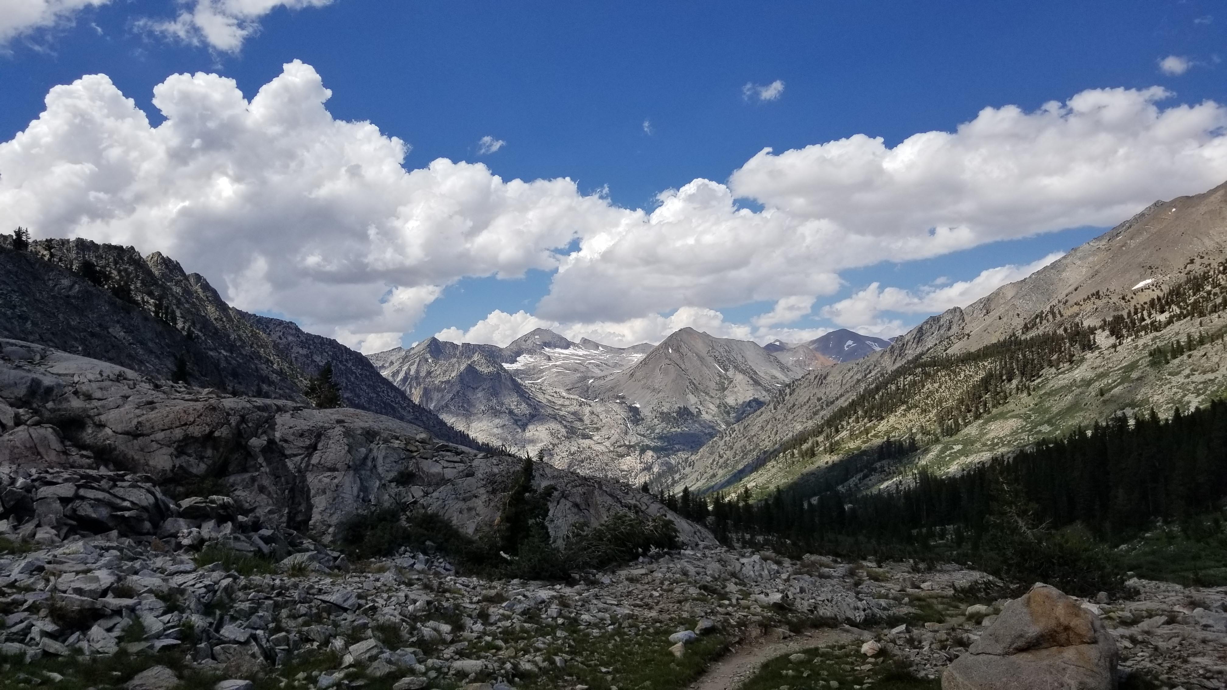
As I’m grinding up the last switchback, I look up from my feet and start to see the eastern snow-covered ridge of Glen Pass. For the first time today, I encounter my first southbound hiker – a gentleman in his late 60’s who had just finished the climb and was starting his descent. We chatted for a few minutes and he pointed out the optimal route for my descent before we said our good-byes and he disappeared to the south. I stood at the top of Glen Pass in complete awe as I was met by the views of Rae Lakes and the valley beyond.
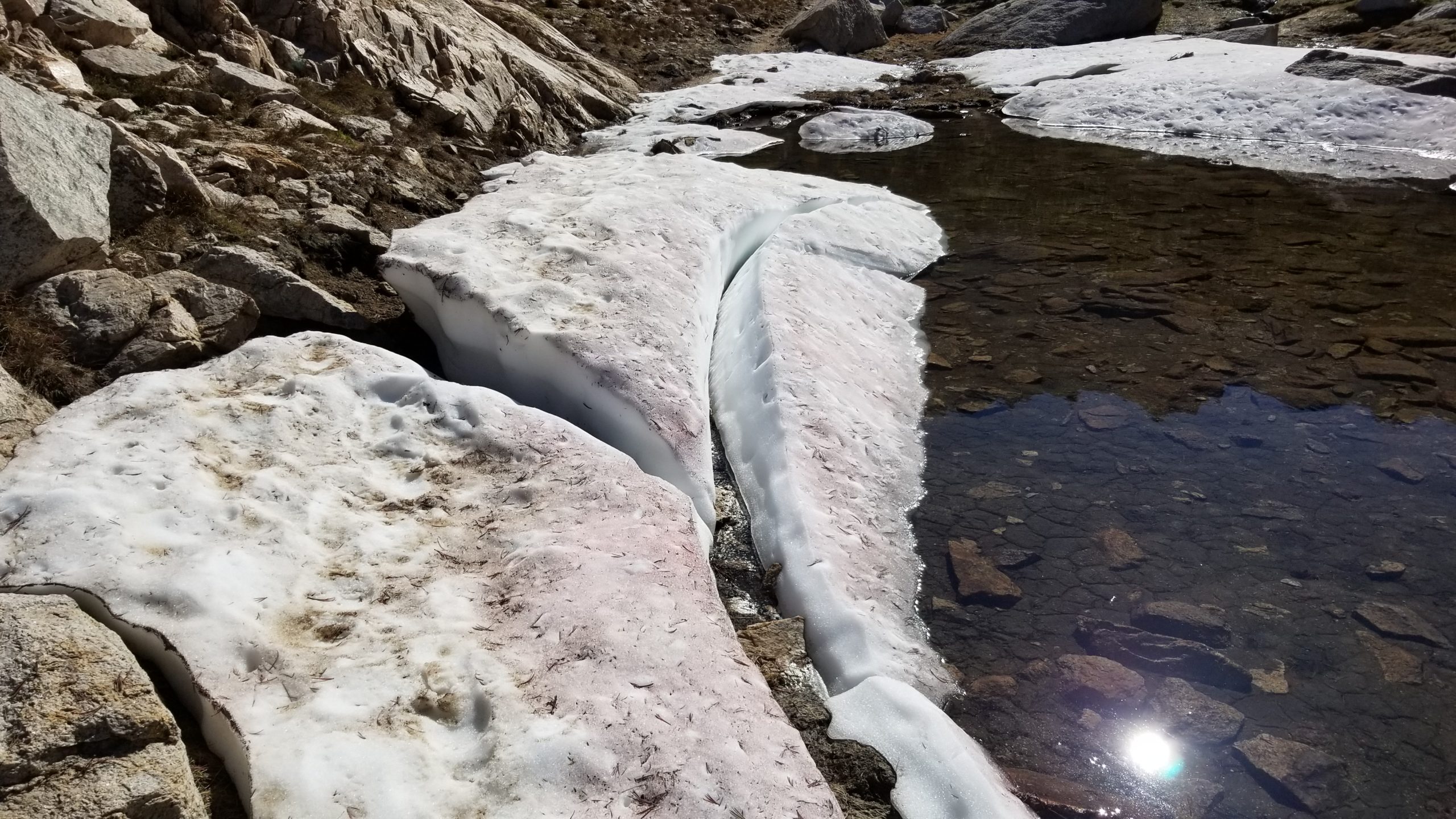
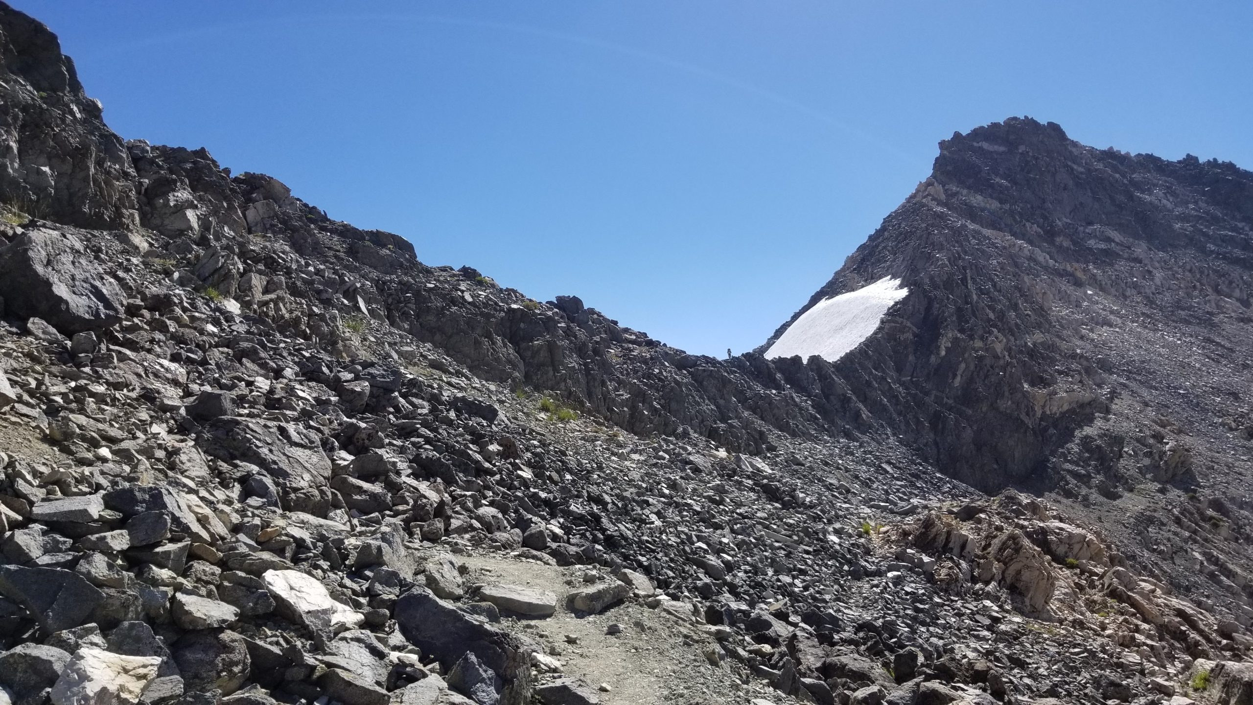
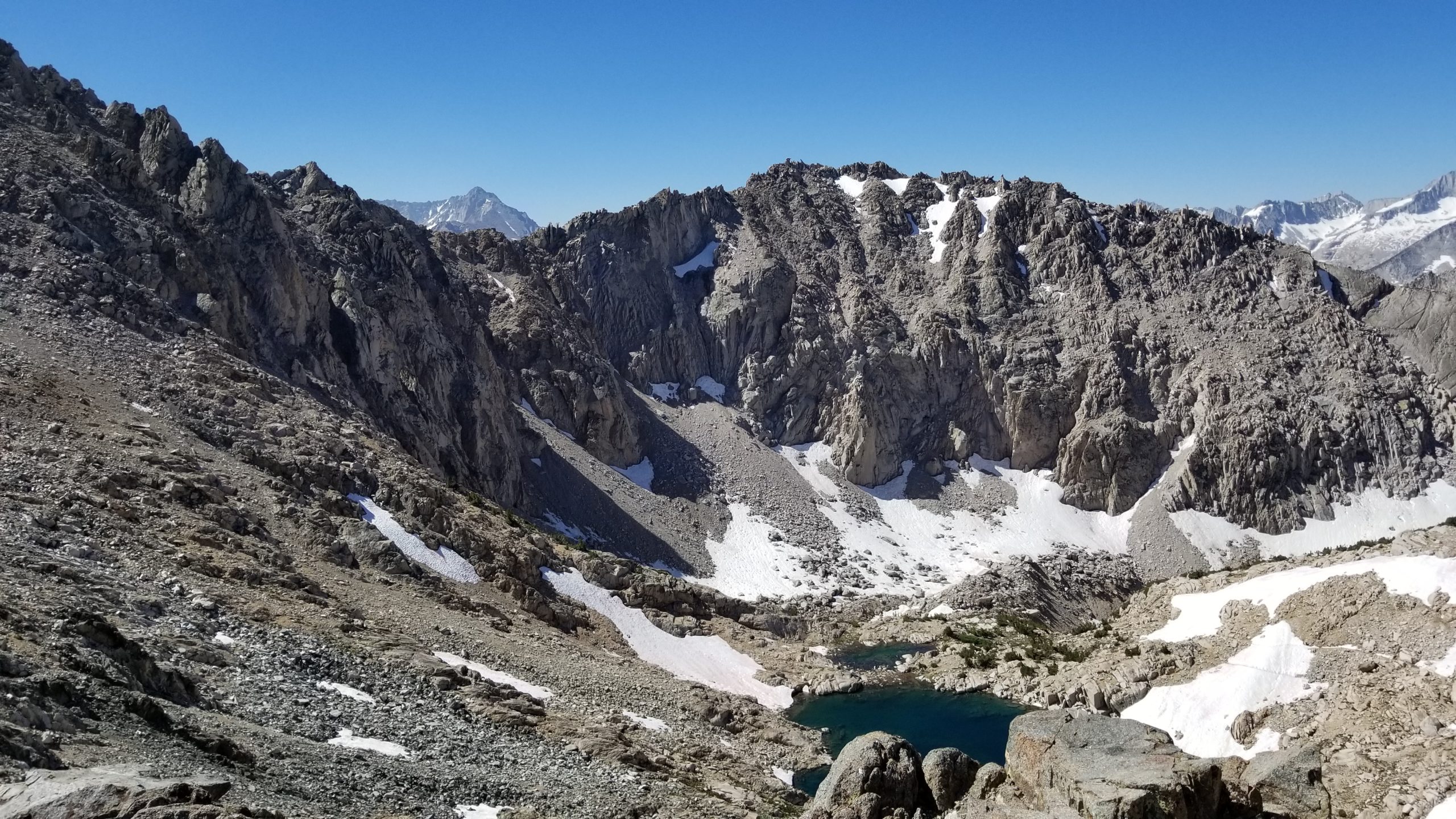
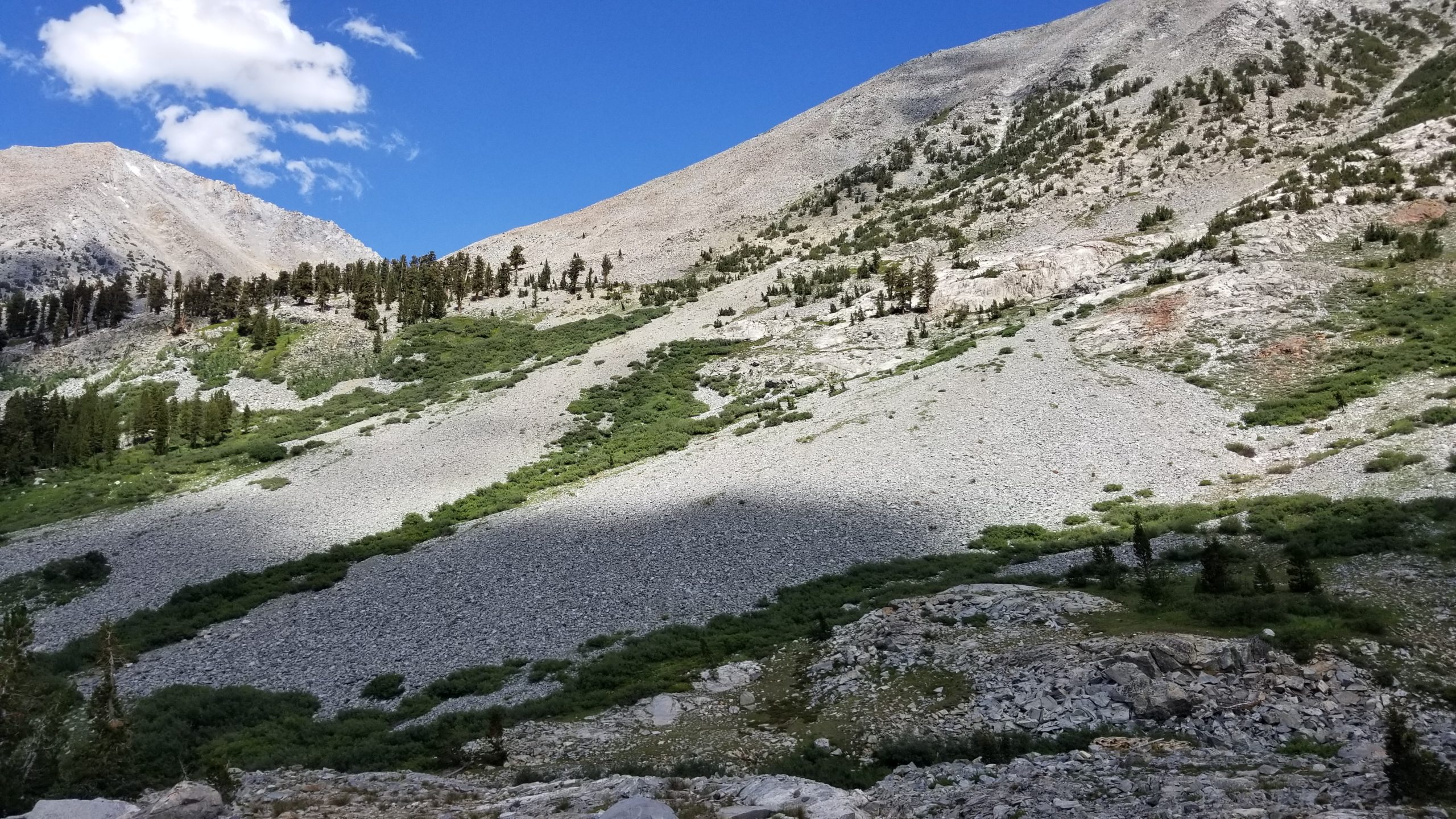
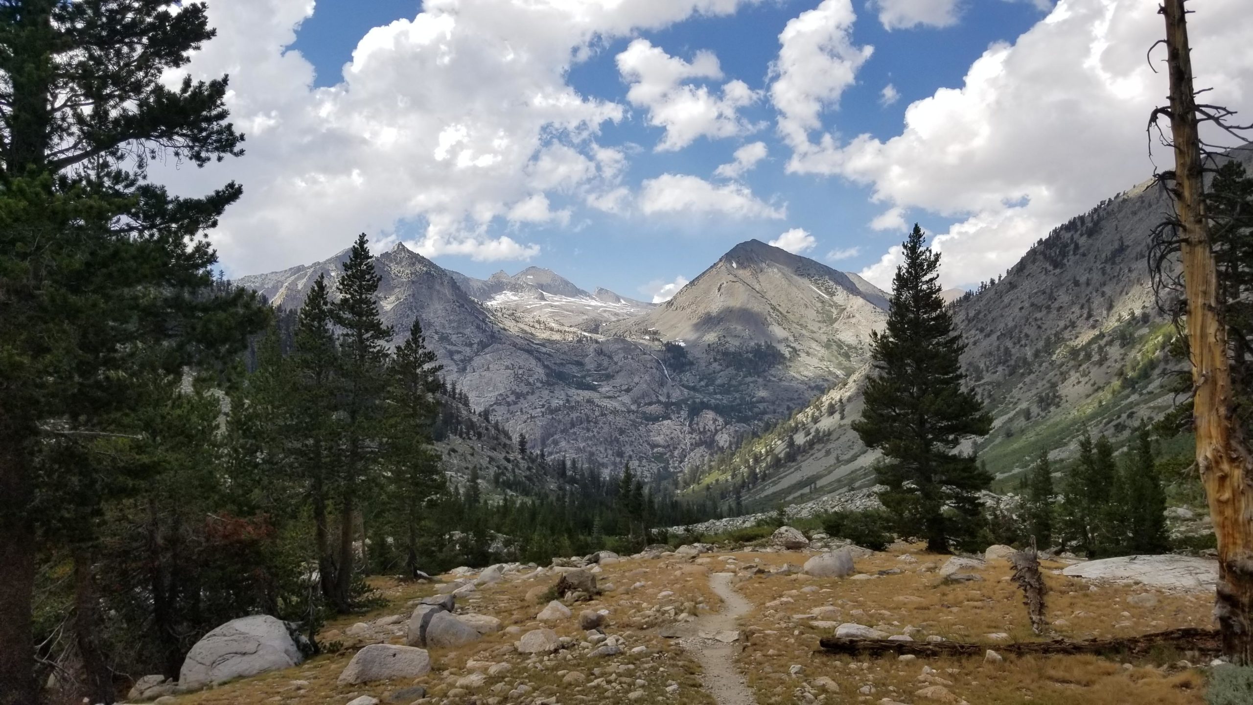
Glen Pass is a sight to behold. The view of Rae Lakes and the basin below me is breathtaking once again. The mixture of textures and colors is mesmerizing, and I stand here for a few minutes to take it all in. I quickly forget the beauty for a moment as I look to the east at the large angled snow crossing that I’ll have to face before I descend the northern switchbacks to get off of Glen Pass. This was one of the passes that I dreaded the most on this trip, and it was time to conquer the fear and get down safely. The hiker that I had just spoken to had said that the path in the snowpack was wide and flat, and the footing was good, but that didn’t make me feel any better until I was off of it and back on solid rock again. Here we go…
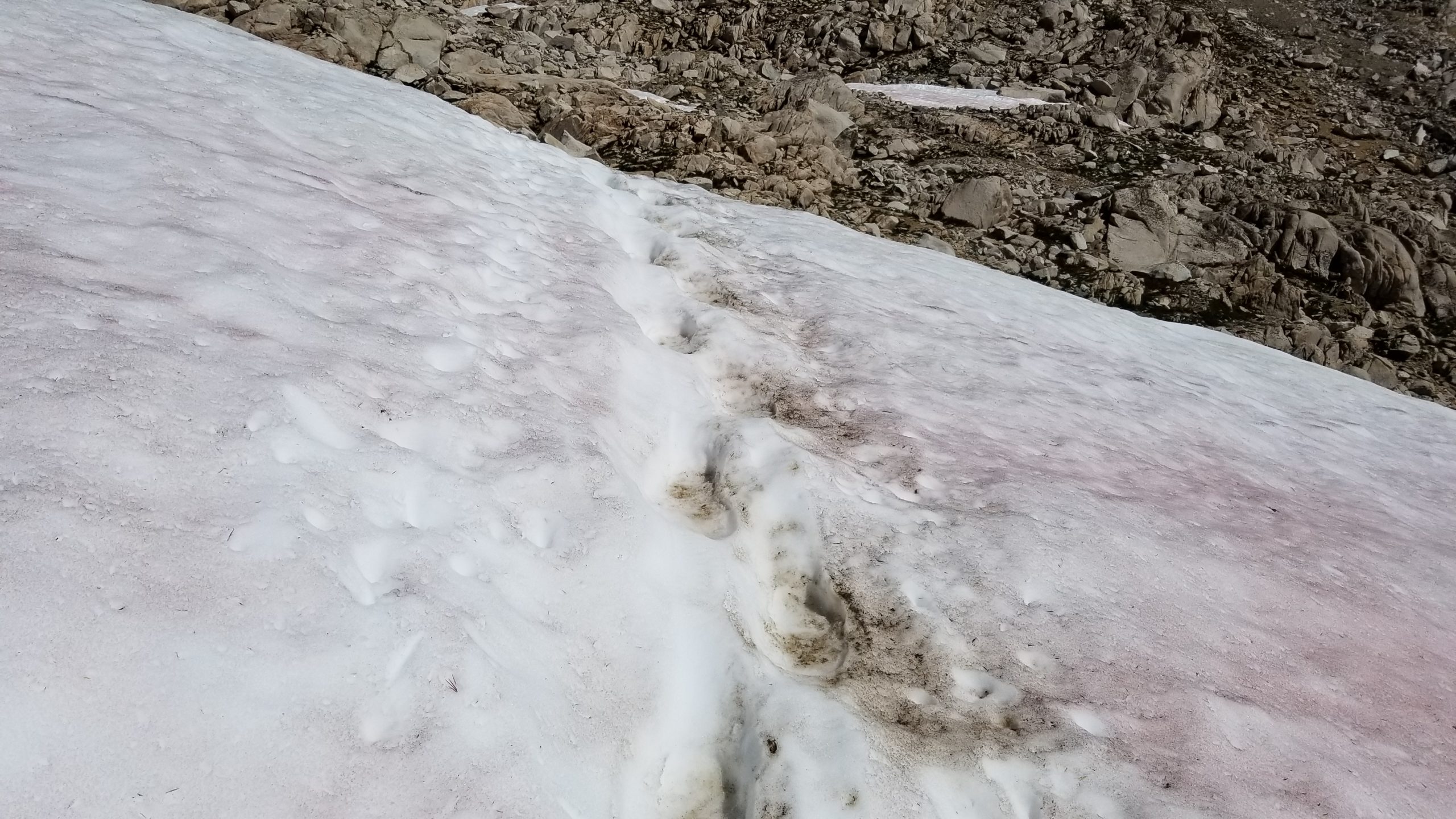
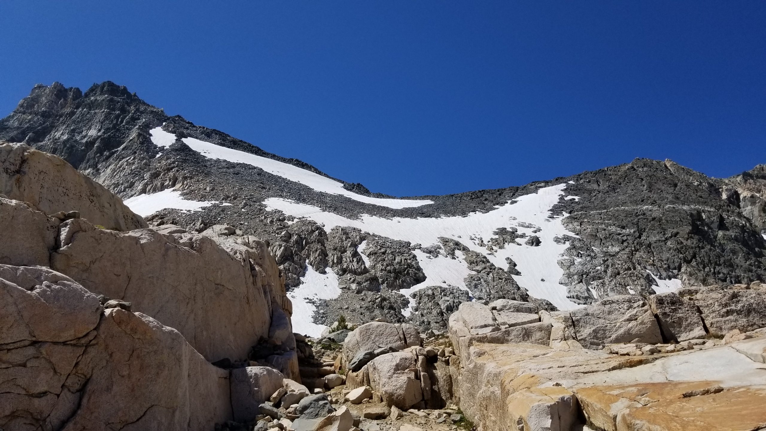
Before I even know it, I’m past the snowpack with relative ease. My fear of heights had really kicked in, but I told myself not to freeze up and to just take it one step at a time. It worked! My lack of snow experience was more of a mental challenge, so I learned, and I was on my way down the chewed-up switchbacks before I knew it. Due to the snow damage over the winter, many of the traditional switchbacks had shortcuts to get around snow from earlier in the season which had now melted. The ground was loose but soft enough to get good footing for a safe descent.
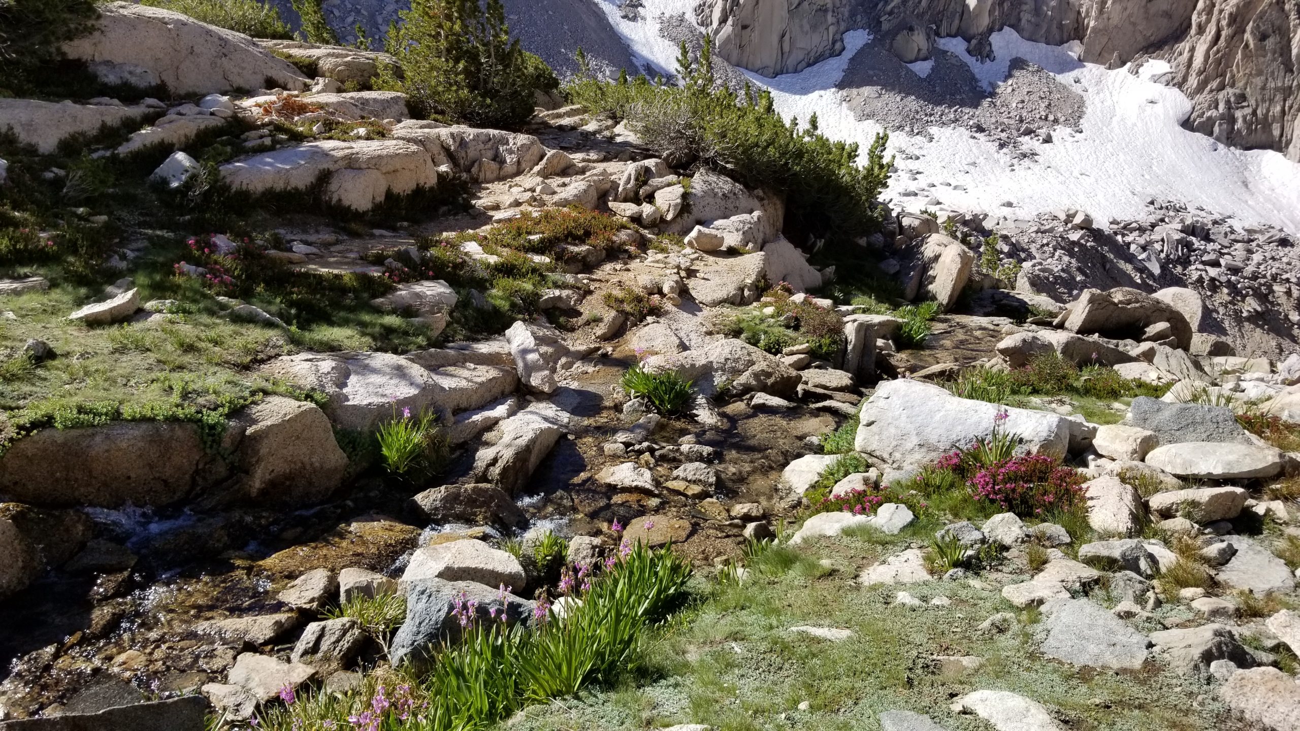
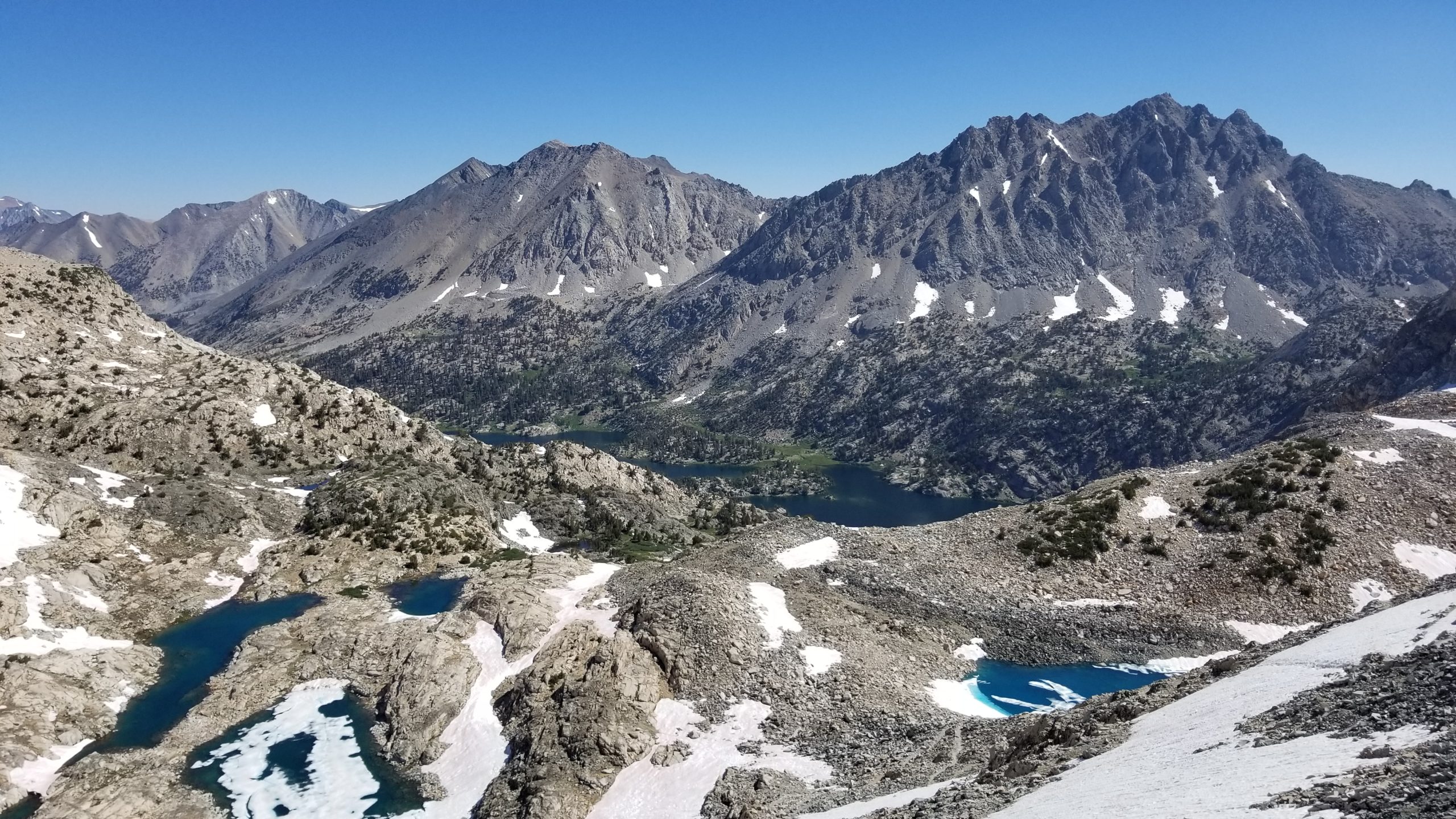
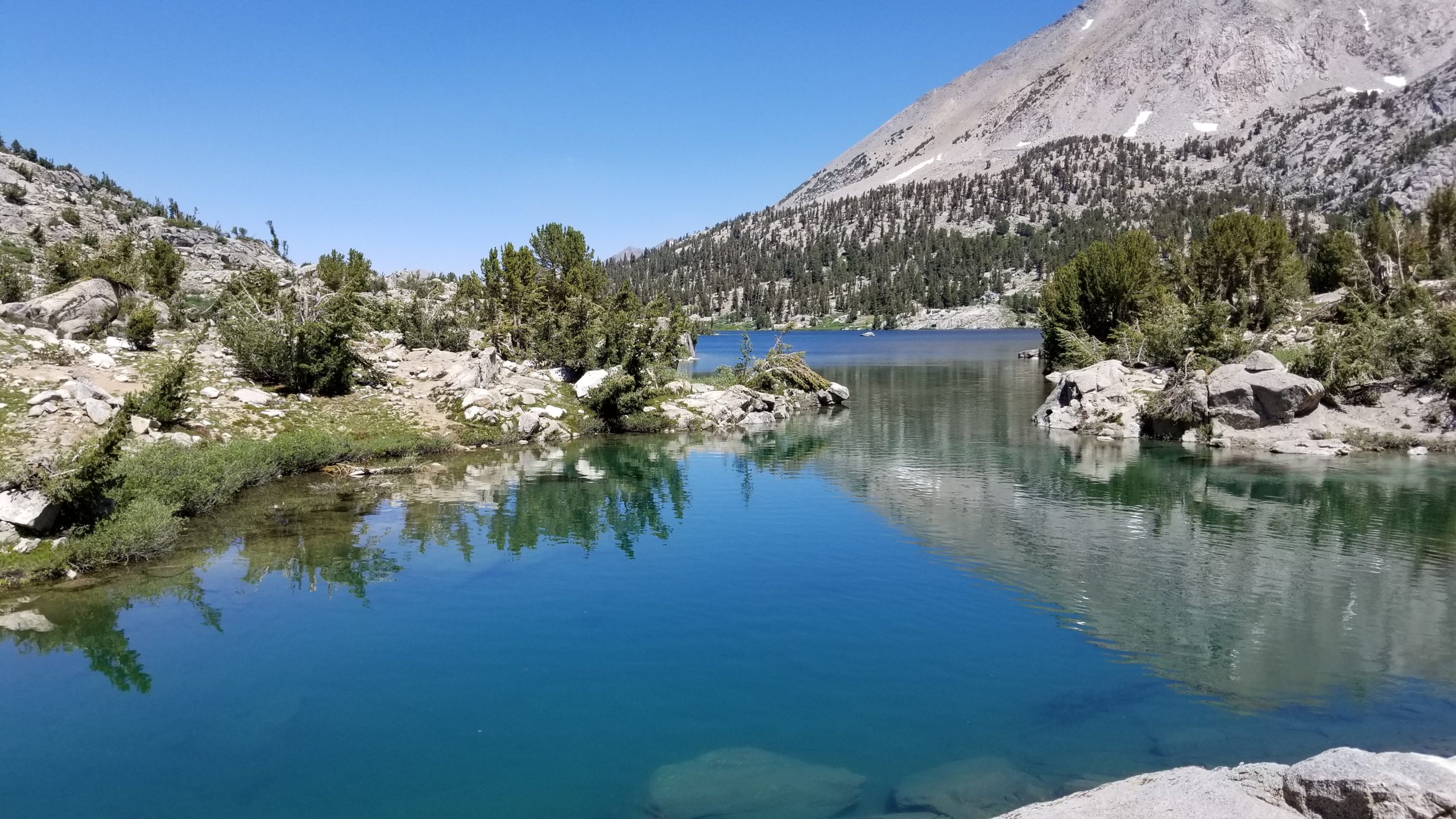
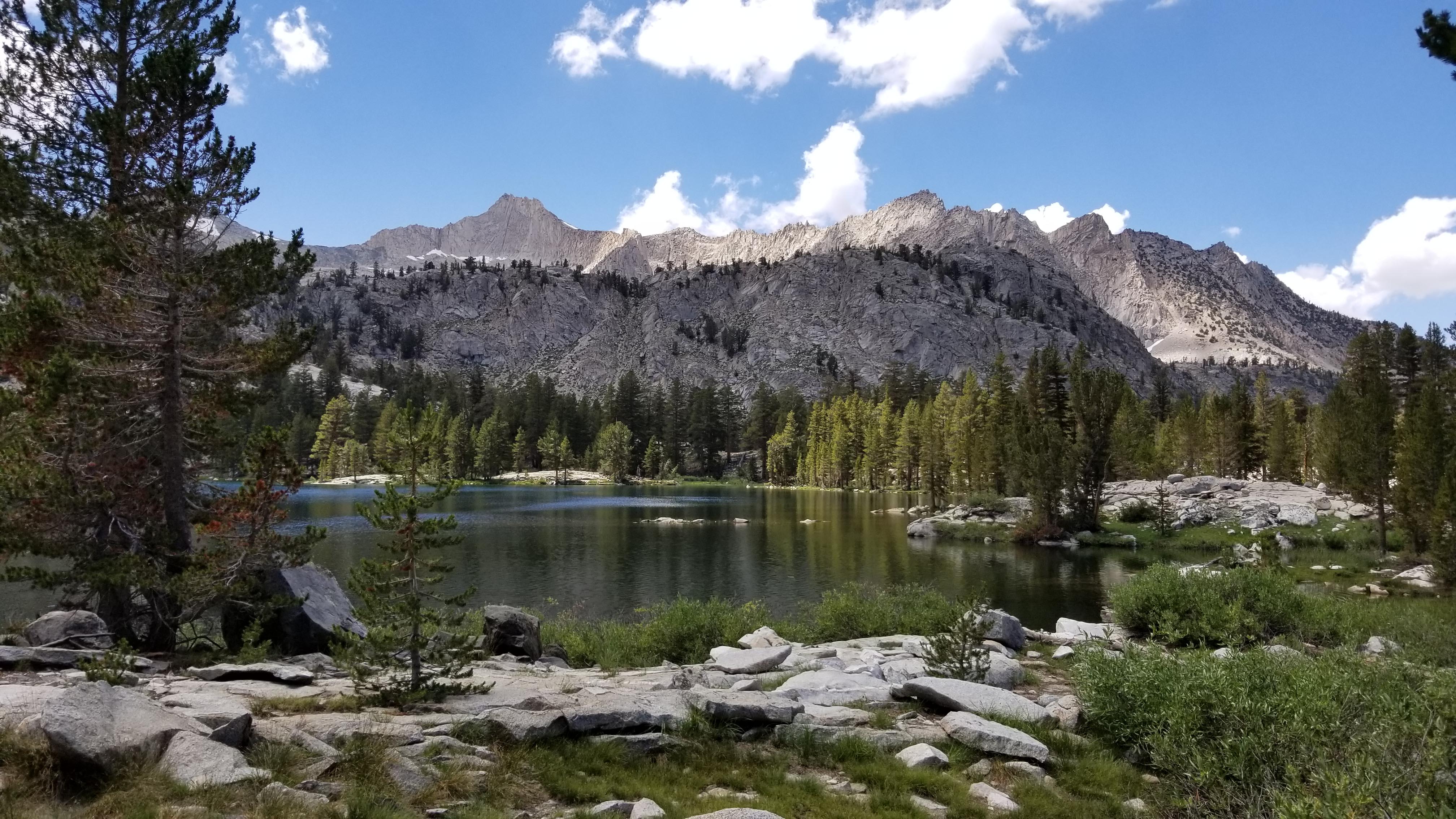
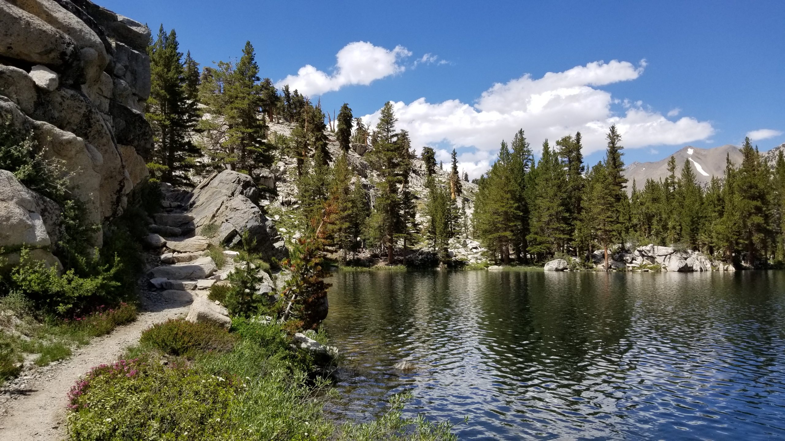
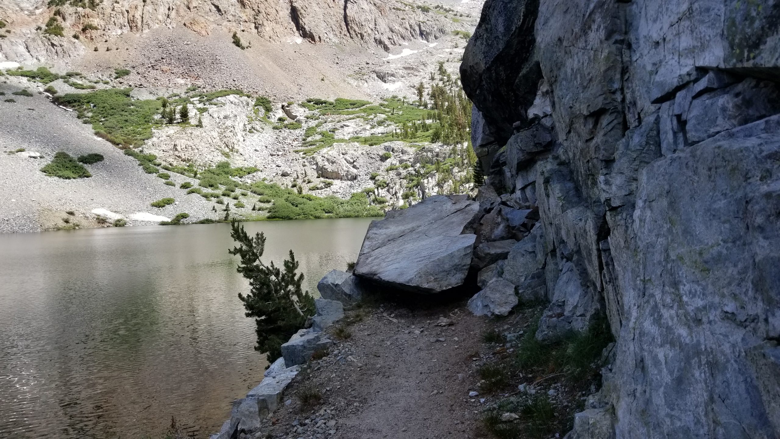
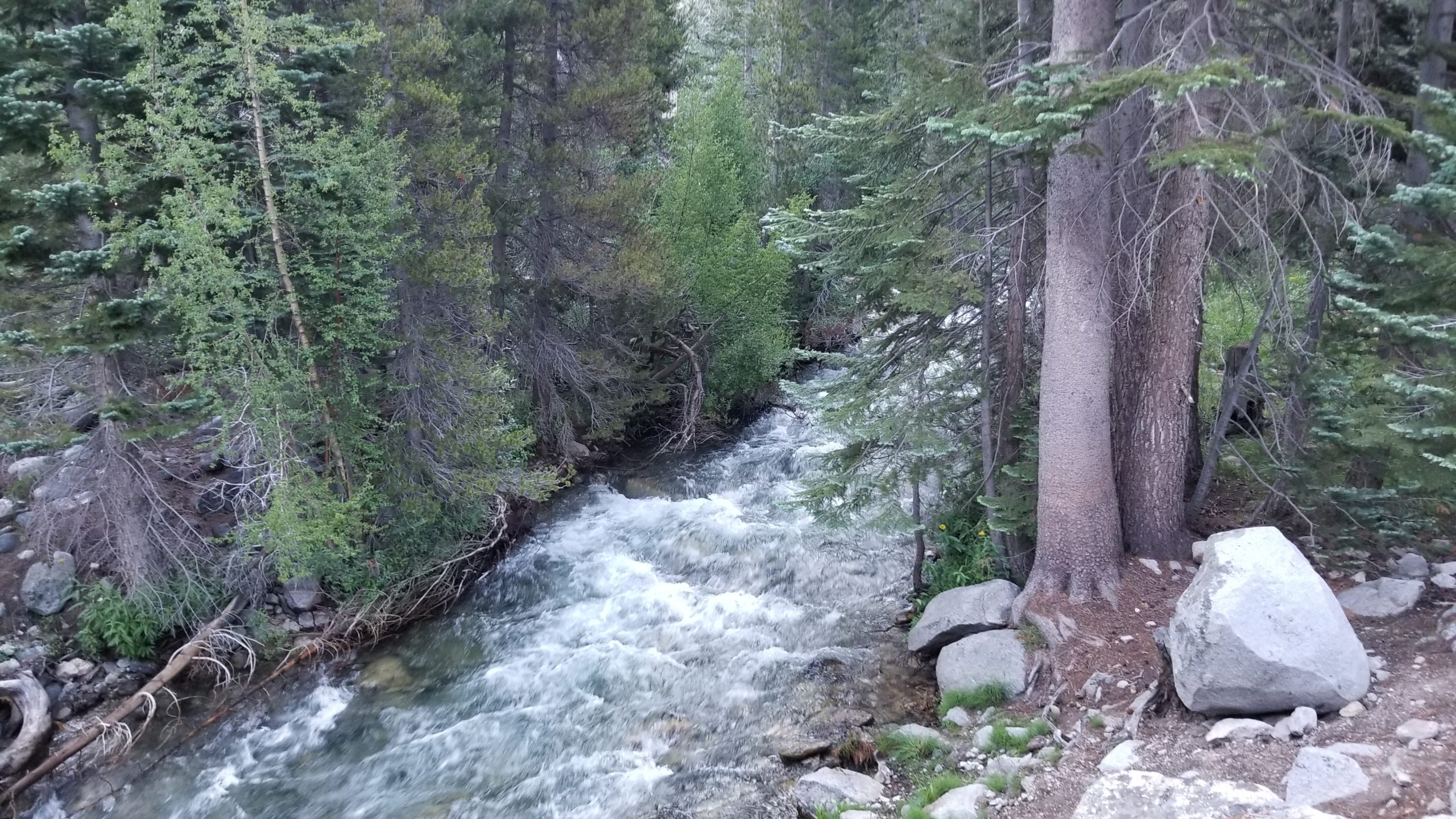
Once the ground leveled out, I passed over small chunks of slick snowpack, but I was glad to be crossing them while not staring down a 500′ drop. Snowmelt drainages from the pass created small waterfalls literally everywhere I looked. I refilled my water bottle and quickly came upon Upper Rae Lake. These turquoise gems are a true treasure of the High Sierra and are an area frequented by hikers looking to experience an amazing section of this backcountry while not needing to take such a long trip. The Rae Lakes loop can take about 4 days for the average backpacker to complete, and takes you though this fantastic area.
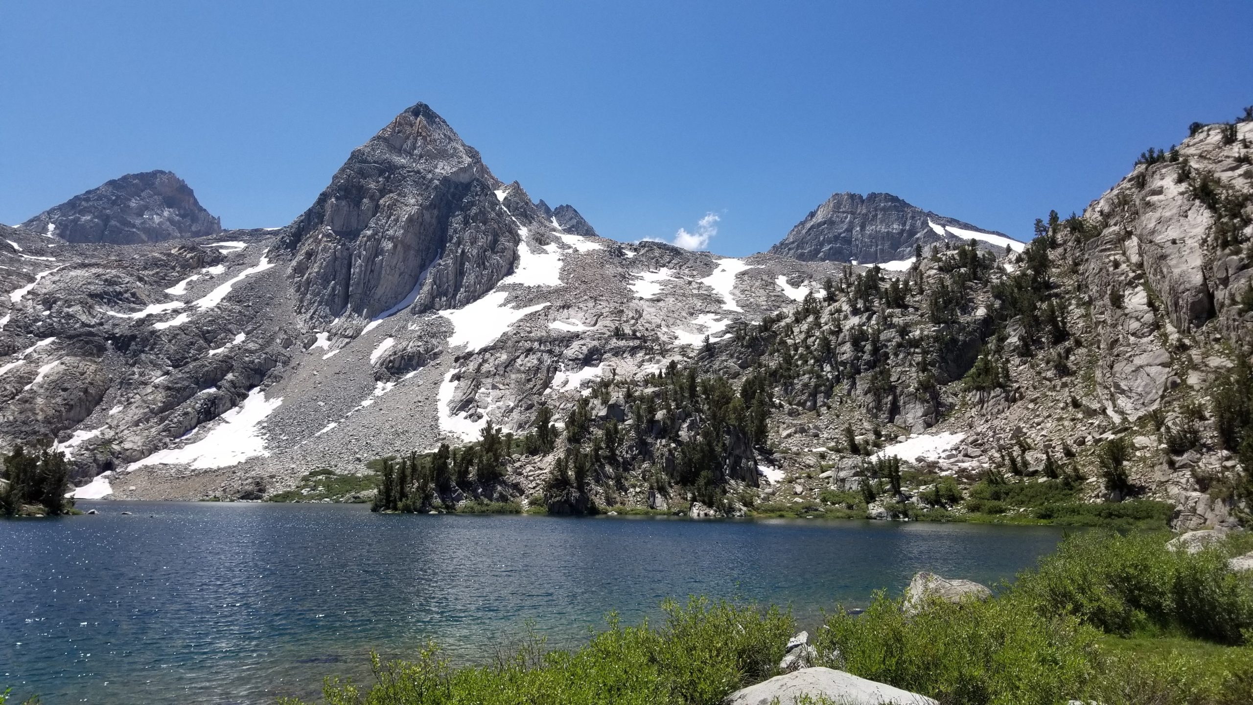
I’m surprised at the complete lack of other hikers, except for 3 or 4 people that I met on the switchbacks coming down from Glen Pass. As I walked through Rae Lakes, I didn’t see another hiker for hours. The Painted Lady rock formation seemed to be watching me as I worked my way along the shores of these lakes, across my first thigh-deep water crossing, and down into the valley on my way to Woods Creek.
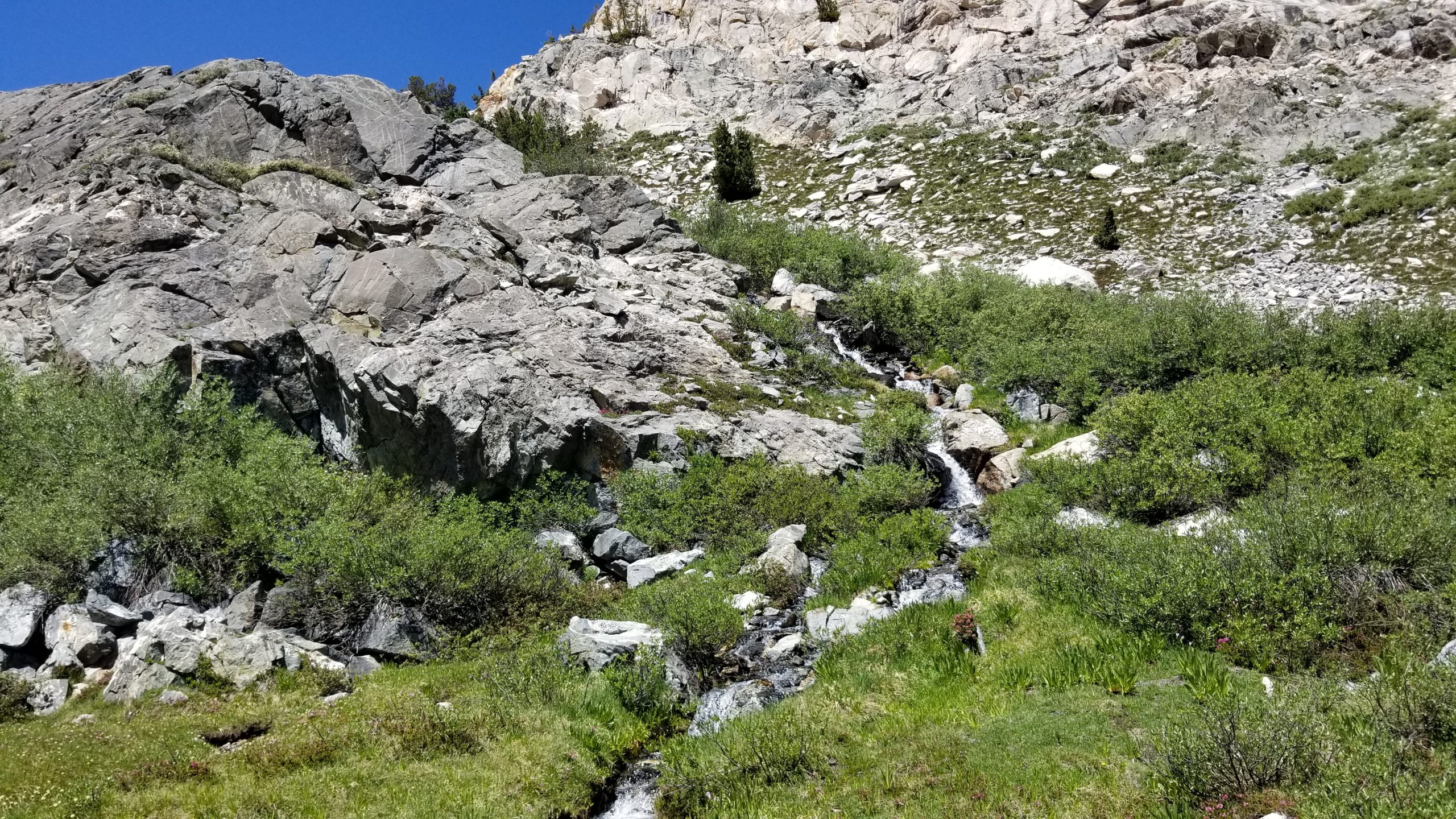
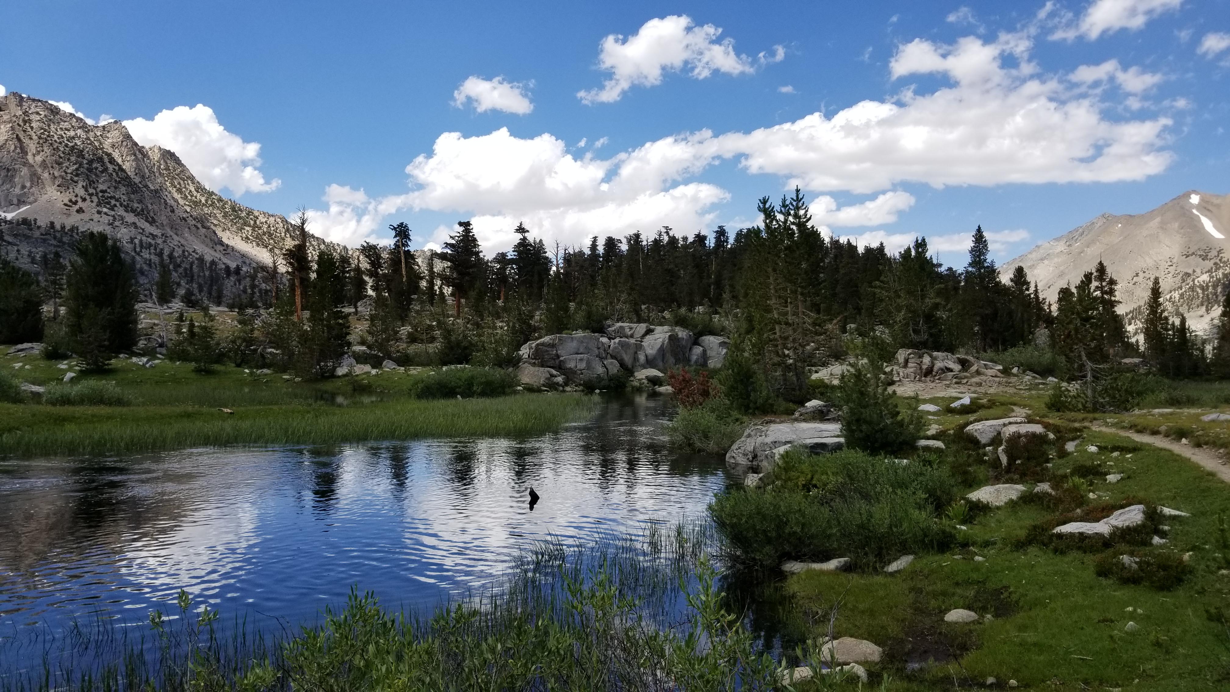
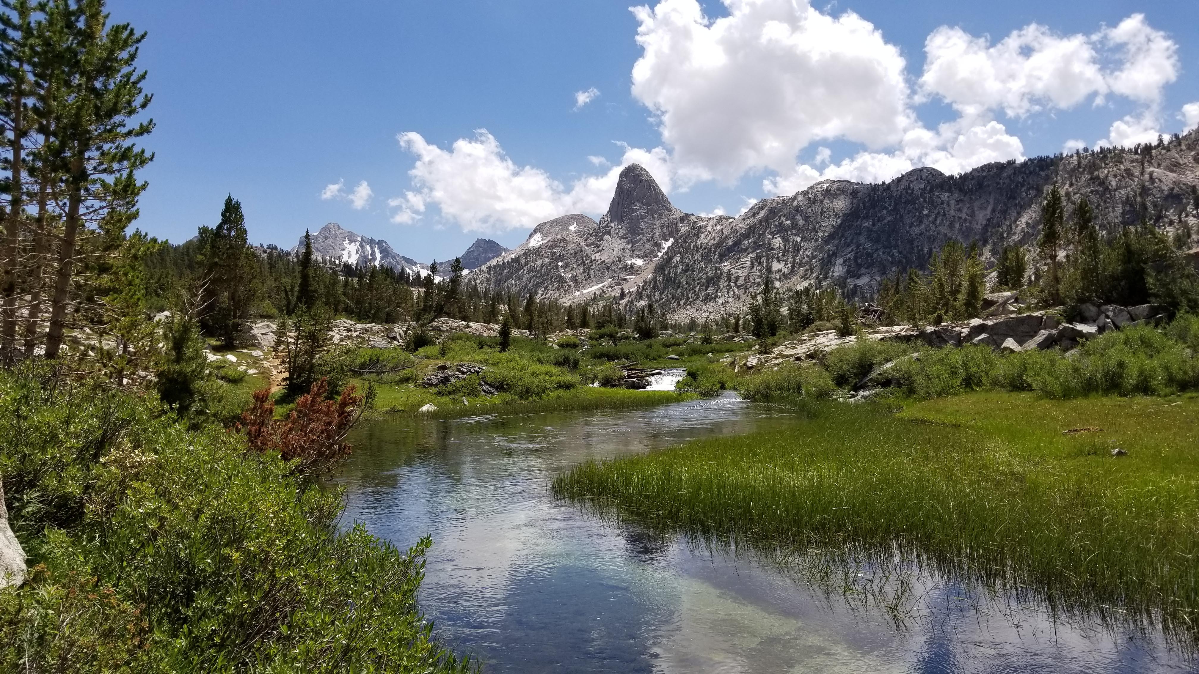
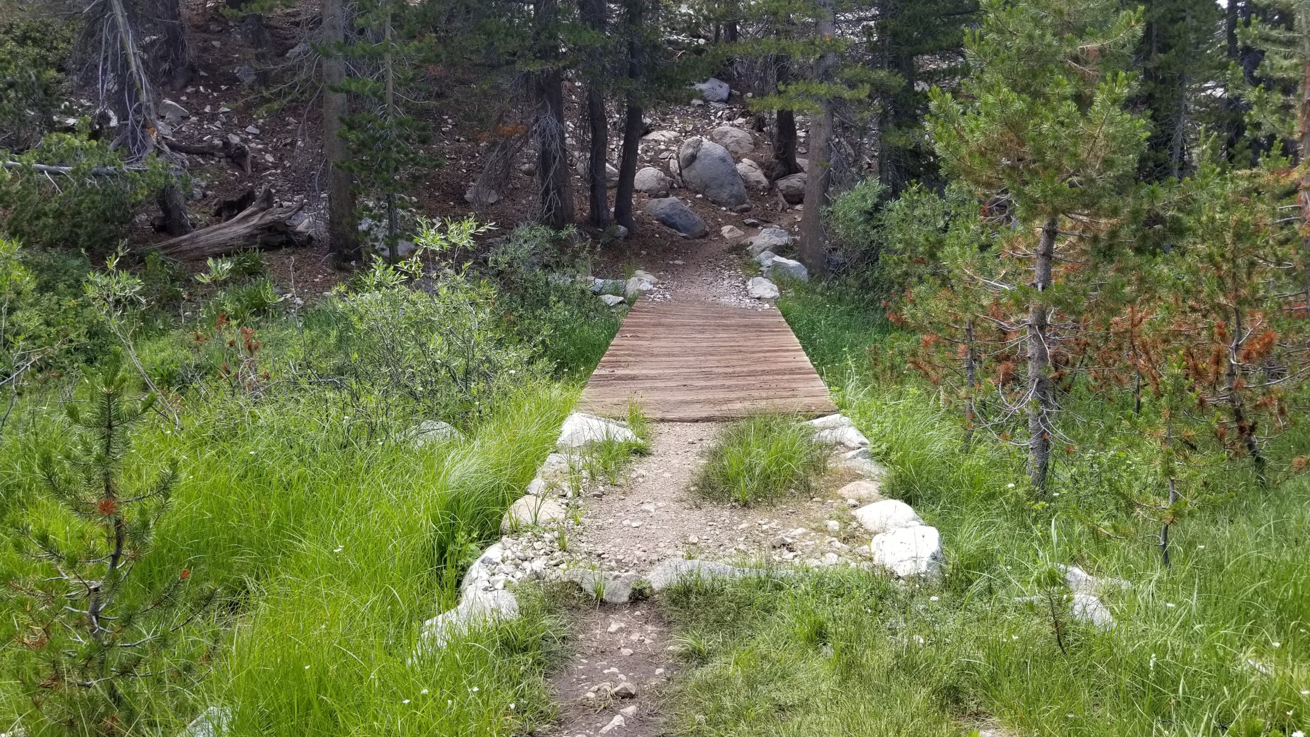
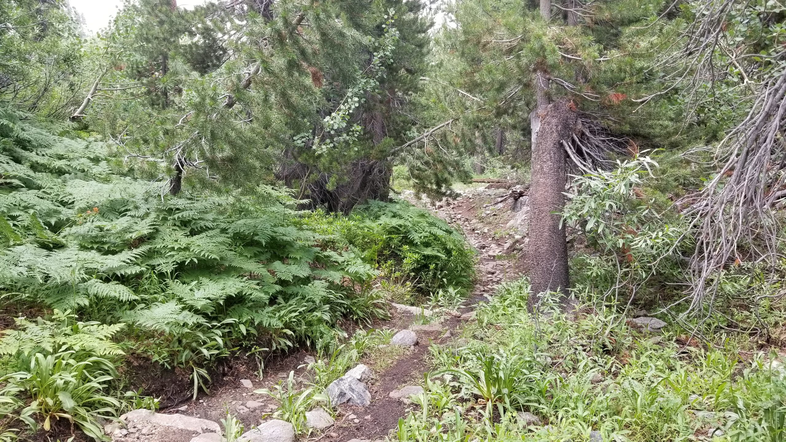
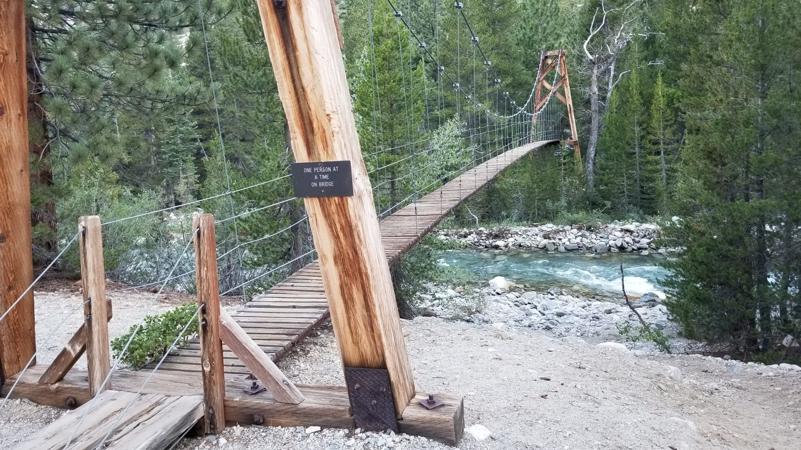
This last solitary section and long descent to Woods Creek Bridge was essentially the second half of my entire day. This winding valley passes by Arrowhead Lake, Dollar Lake, and the crystal clear drainages that run between them and down into the valley. Looking back, I get a perfect framed view of Fin Dome behind me with the clear creek drainage in the foreground. One of my favorite pictures on the entire JMT. Having this entire area all to myself was a real fortune, considering how busy this area can get most summer weekends.
I kept taking in the sights as I crossed the creek multiple times. I didn’t stop much in this section except for pictures and a couple of snacks since the day was winding down and I wanted some time at camp to get some chores done. This area was so lush with healthy trees and green grasses, and before I knew it, I was at the bridge where I set up camp for the night. Tomorrow was going to be my longest and biggest elevation gain of the trip, so after some fireside time with some other campers in the area, I turned in for the night and tried to sleep.