Interactive Map – how to use
On a PC, drag the map around and zoom in/out. On a mobile device, use 2 fingers to move the map around and to pinch for zoom. Click or tap on a track or a waypoint dot for more details about that feature. Mouse or finger slide over the elevation profile graph and look to see where that point is located on the map as you move along it.
Click the white arrow in the lower right corner of the main map to expand a mini-map that gives reference to the surrounding area around it.
Download this map file for your own use:
Download the tracks and waypoints files in various different formats via clicking the small icons on the top right corner (GPX, GeoJSON, KML, or GeoRSS) and saving to your computer/mobile. GPX format is the most versatile, and has all track and waypoint data. The KML download feature currently is only providing some waypoints, but no track data.
![]()
Mouse over this icon (if visible) in the upper right corner of the map to get an option to select an individual track section for which you’d like to see details, or to see it on the elevation profile graph below the map. (for maps with multiple tracks only)
![]()
Date: August 11, 2017
Distance: 12.89 miles
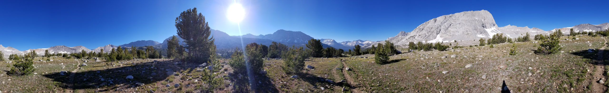
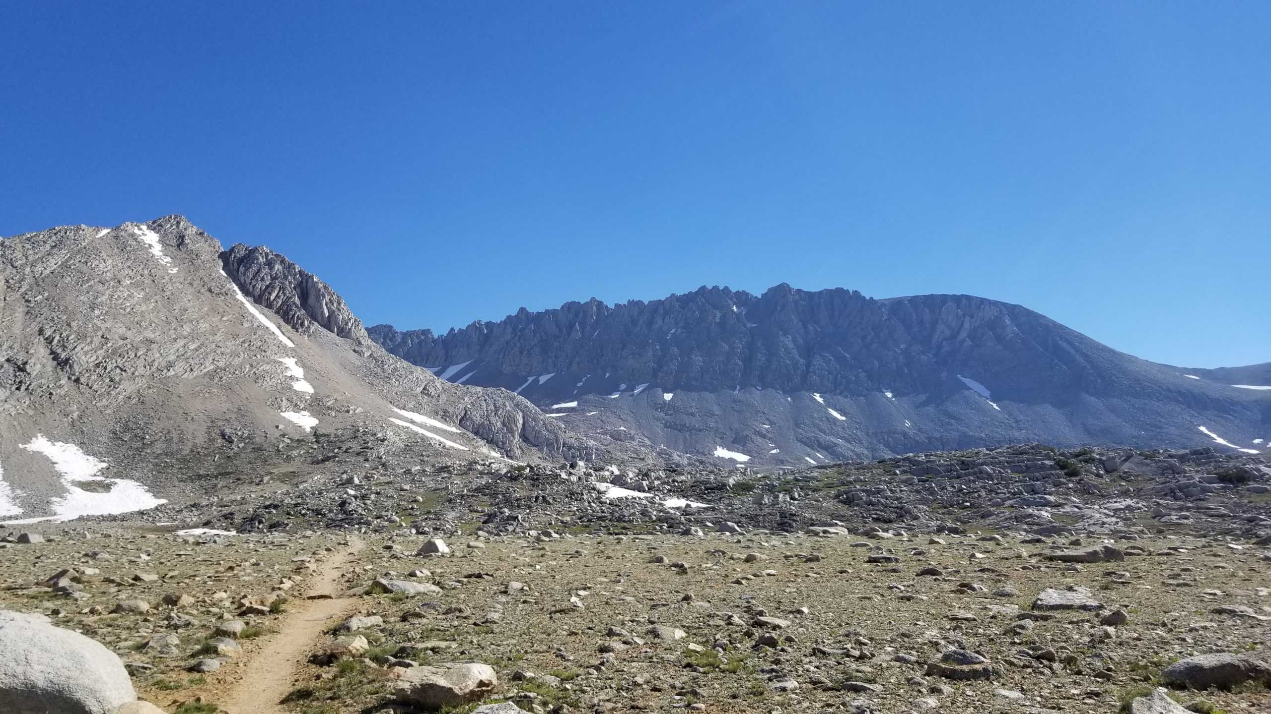
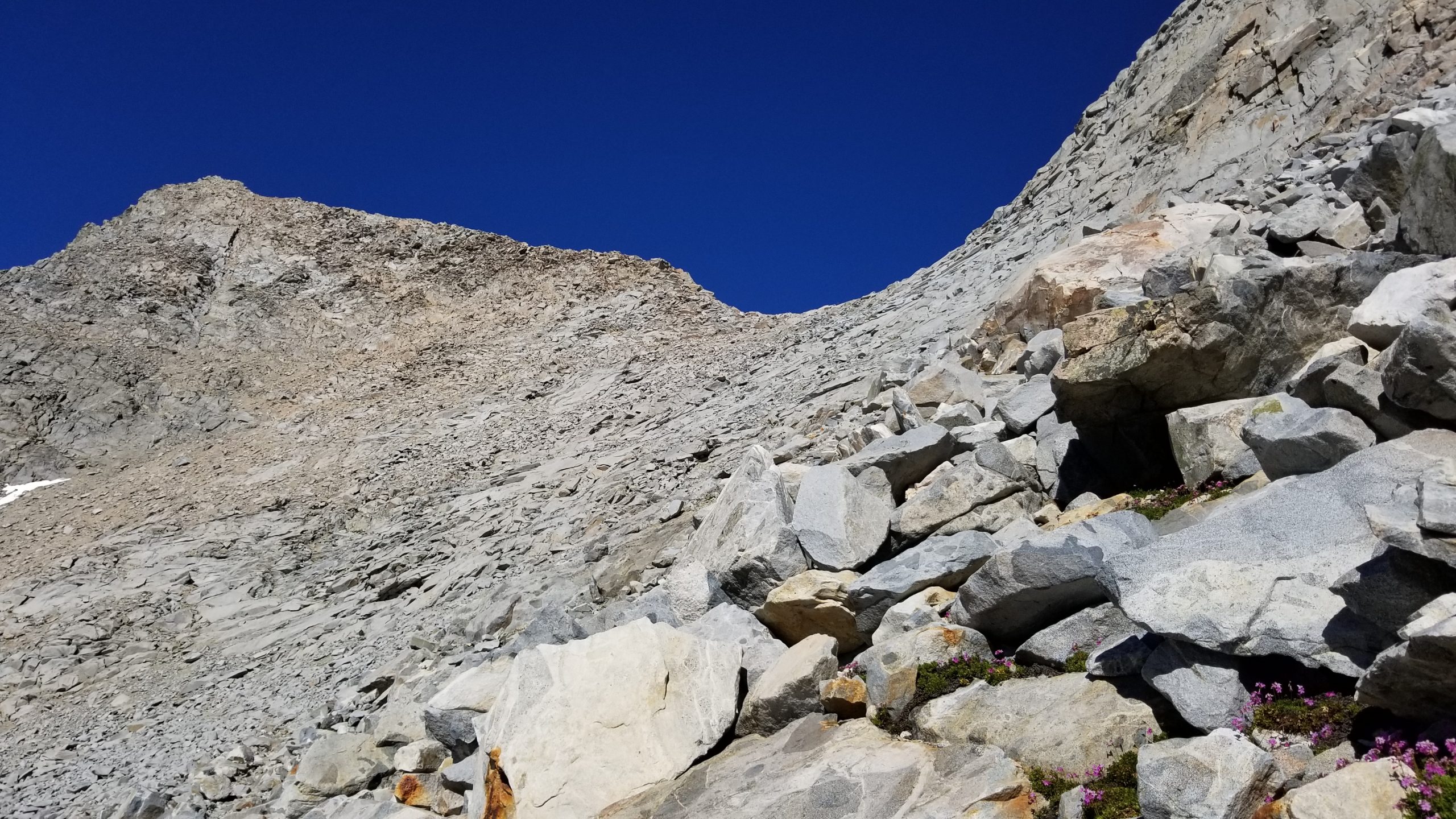
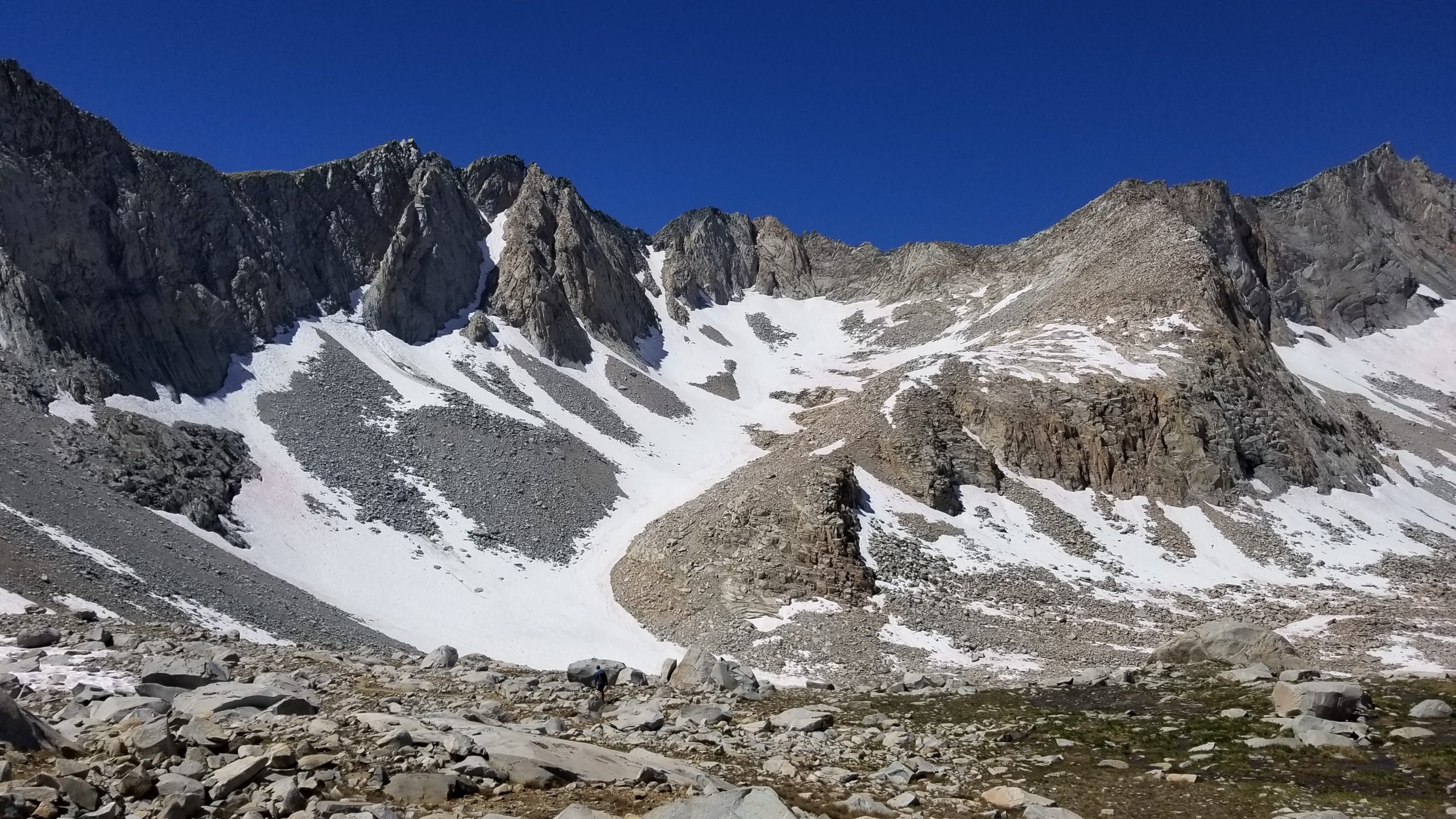
I dreaded climbing over Mather Pass. I had heard it was one of the steepest and damaged from this winter’s snowpack, so I headed out this morning to get it over with and enjoy my descent down the north side.
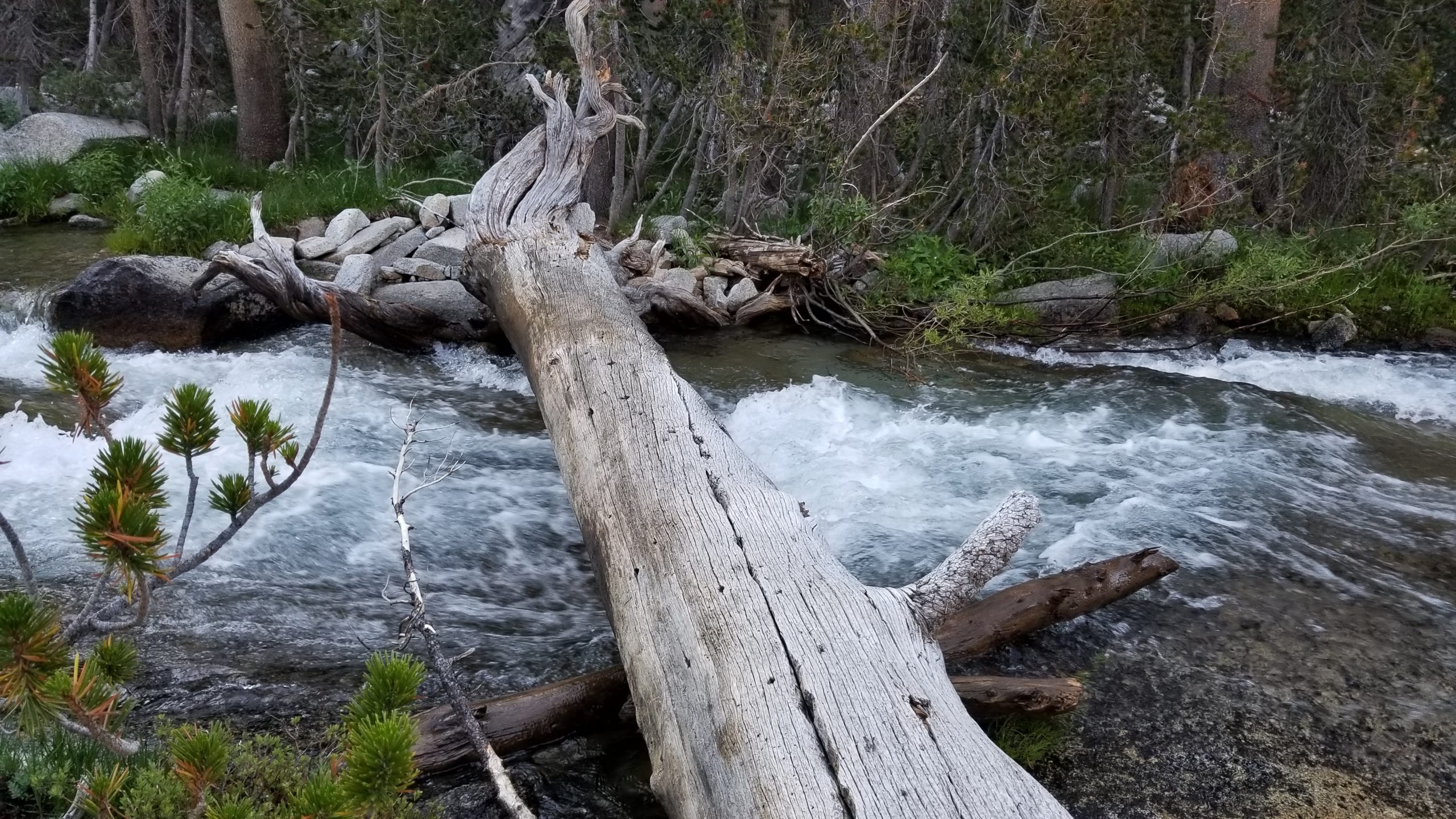
I broke camp early because I also still had to cross the notorious South Fork of the Kings River which was right by my campsite. I packed up, and took the side use trail (according to the warning signs to take it a couple miles upstream where the river splits into smaller crossable tributaries). As I was going along that new trail, about 100 yards to the southeast was a nice sturdy log laying across the river. It was worn from the higher water levels earlier in the season, but it was stable and wide enough to give my balance a try. I decided not to hesitate and just get it over with, and made it quickly across with no issues. I had my pack waistbelt unbuckled in case I was to fall in and need to ditch it, and I put my inReach in my pants pocket also in case I went in and lost my pack (where it was normally hung from my shoulder strap).
I was happy to get back on the true JMT quickly after that crossing and continue on the original trail. The ascent was gradual and scenic, with no real challenges until I got to the final push up Mather Pass and had to deal with some snowpack on a steep slope.
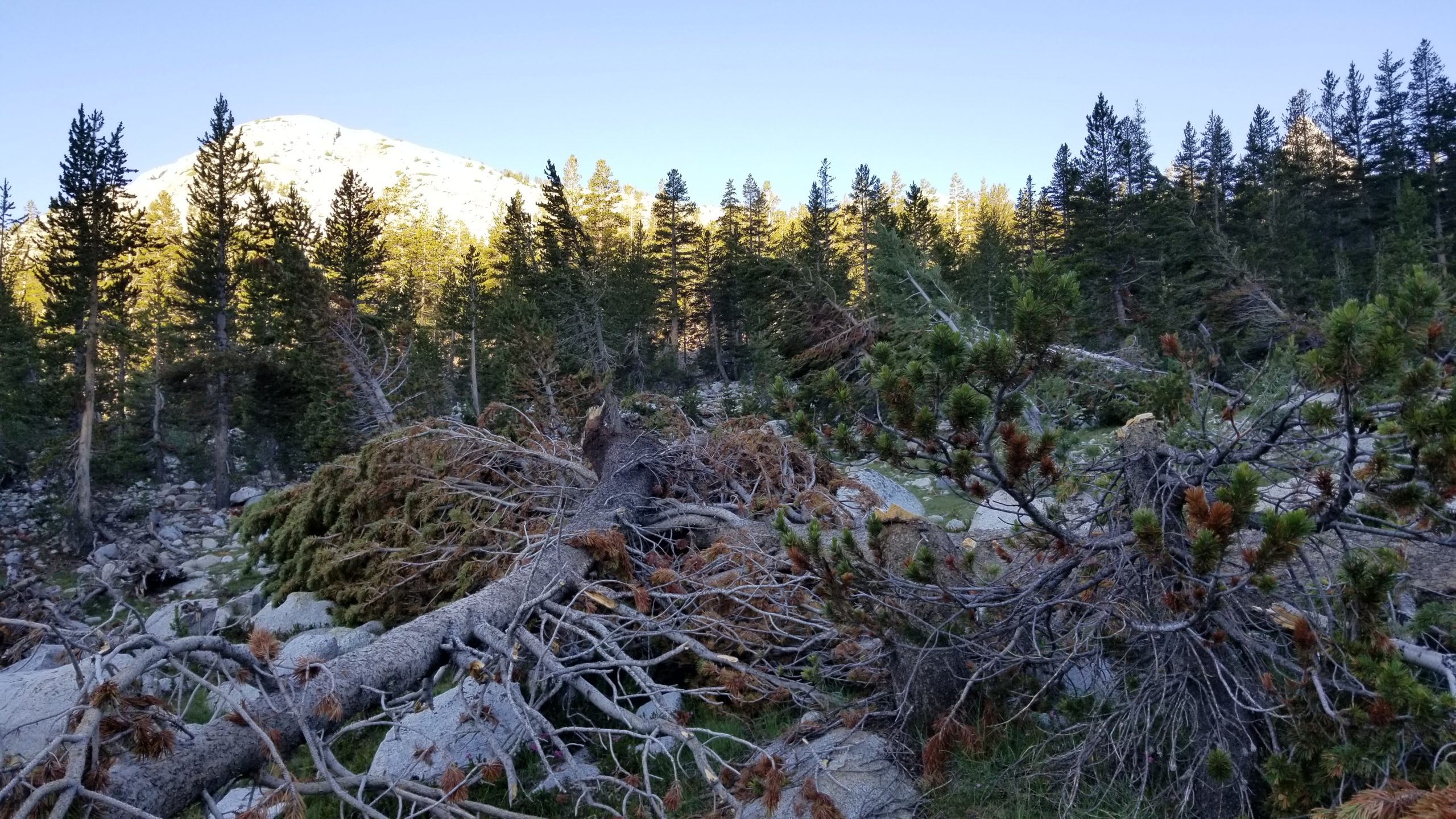
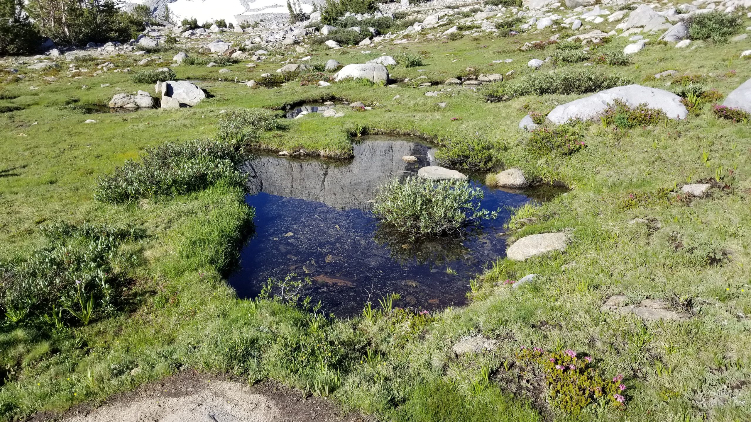
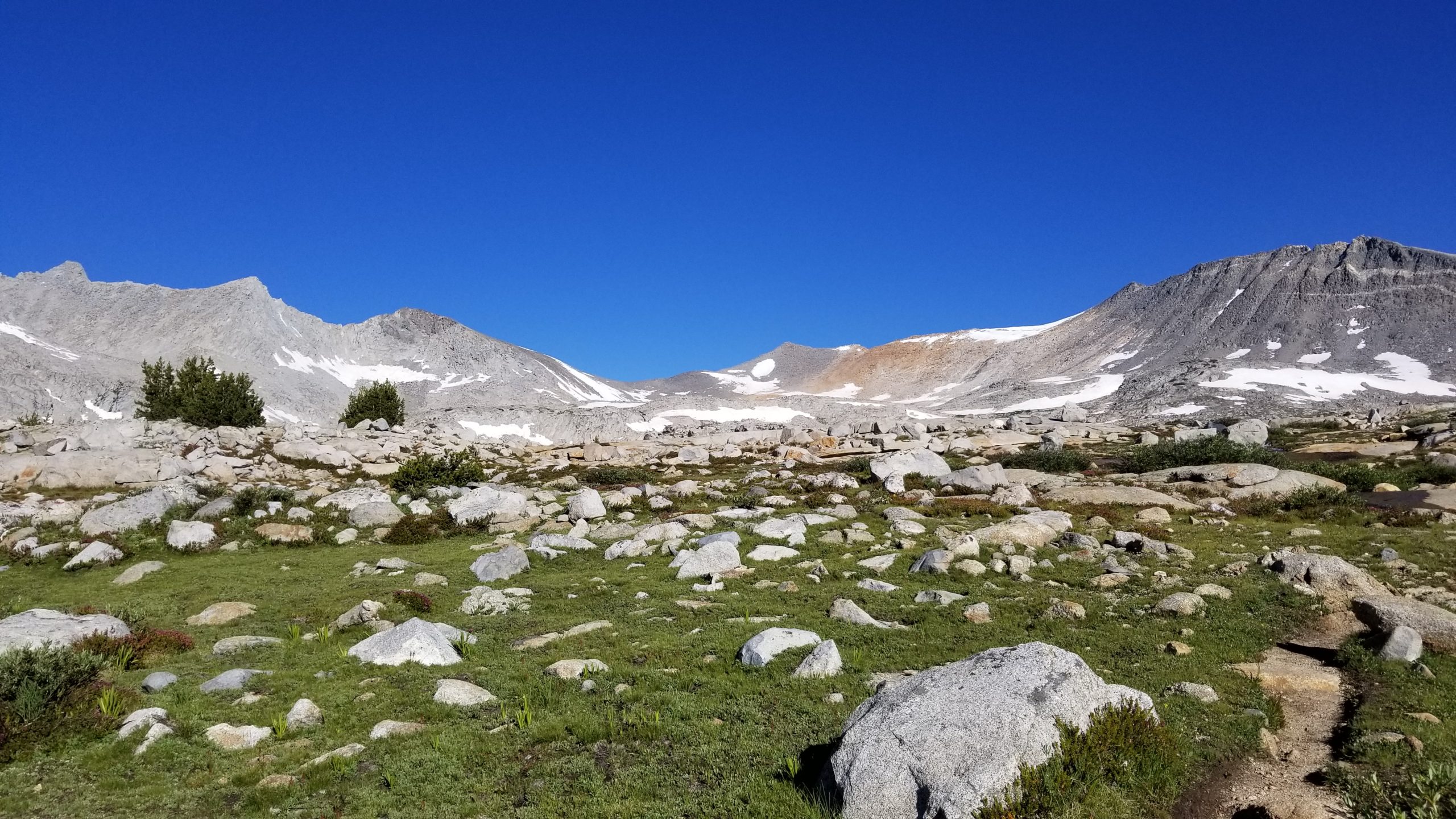
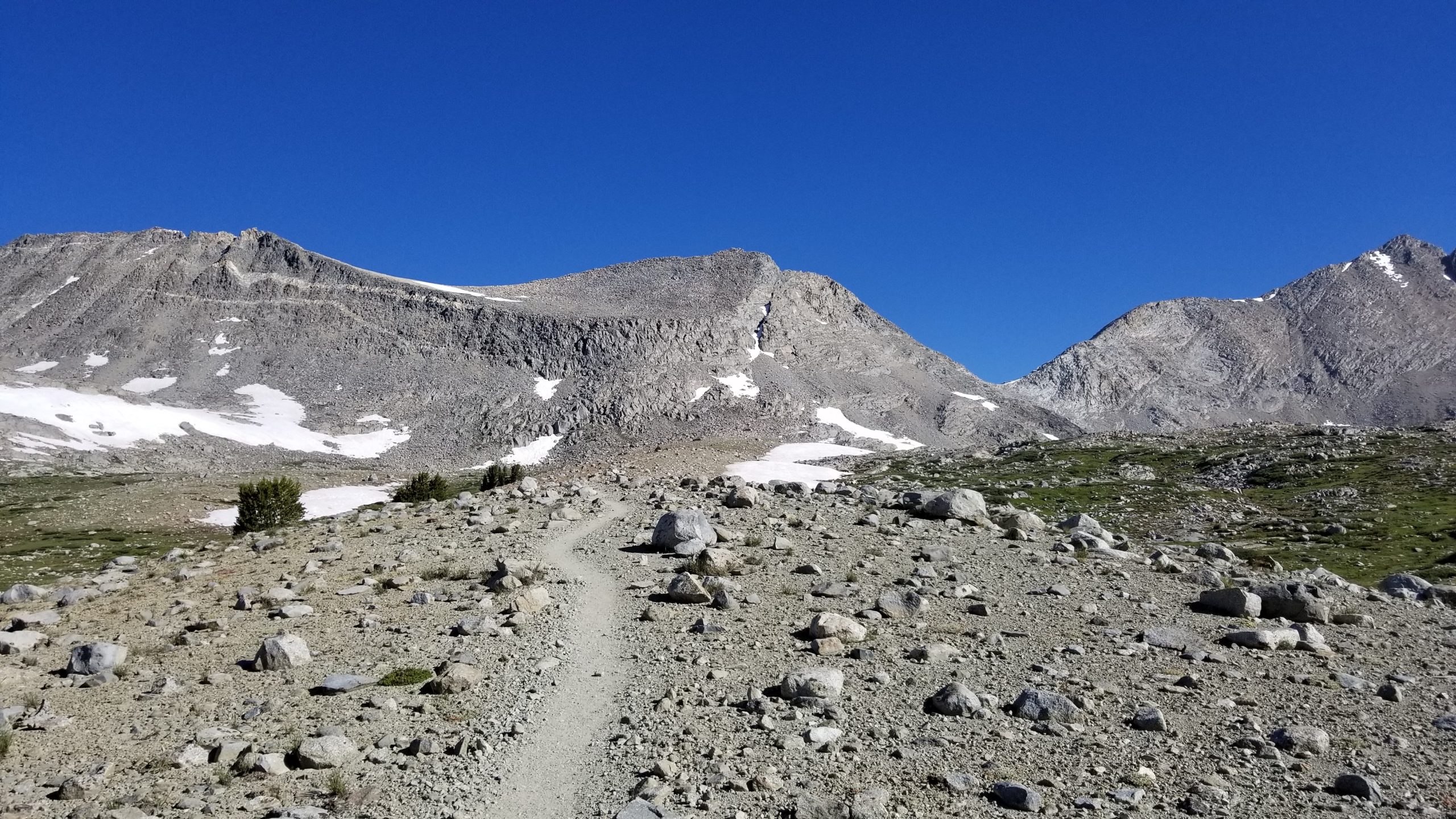
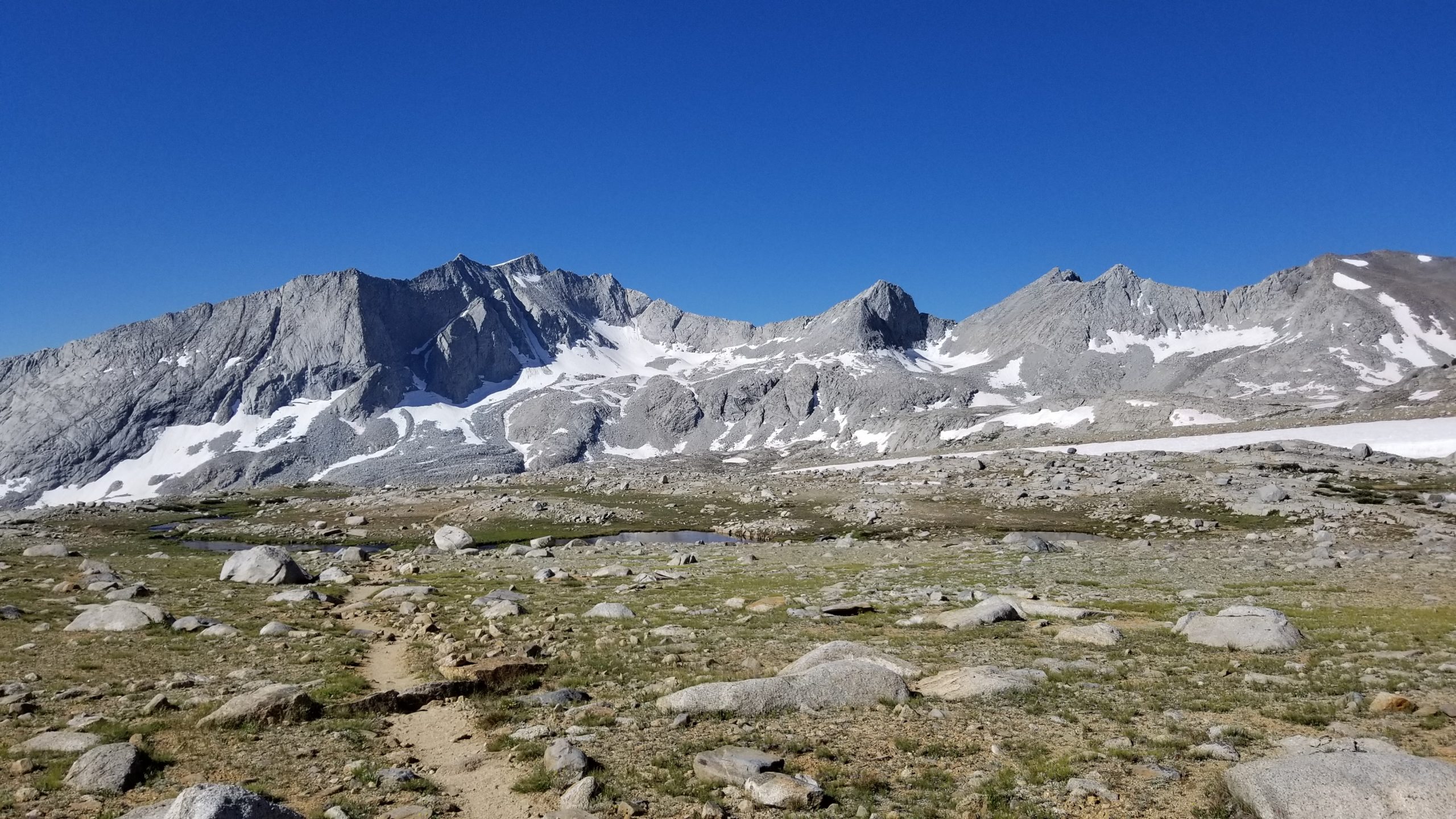
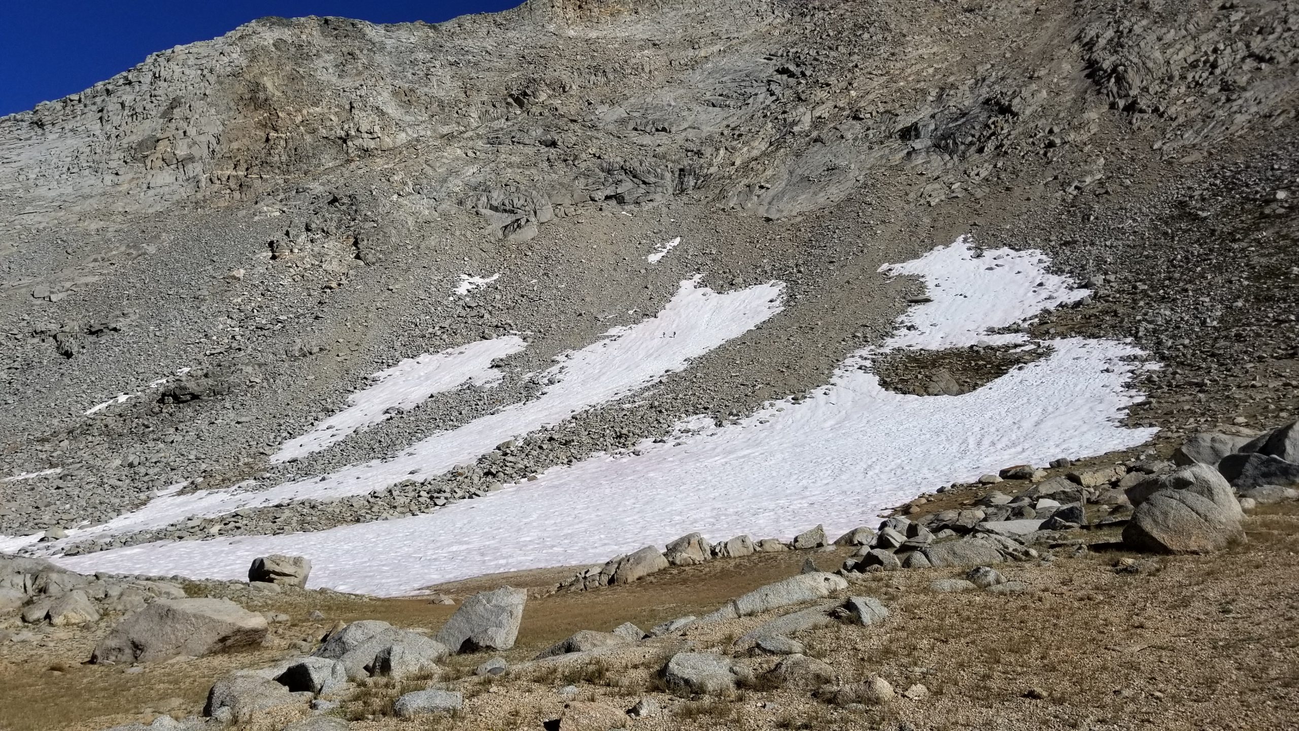
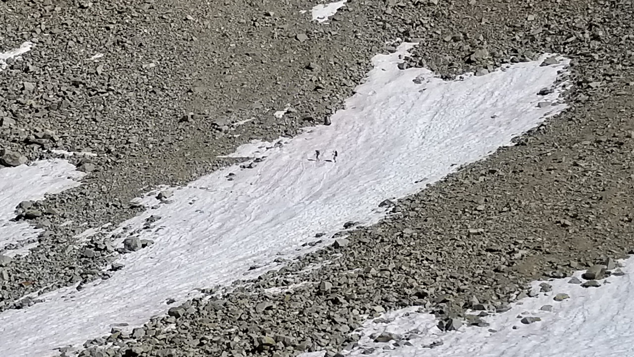
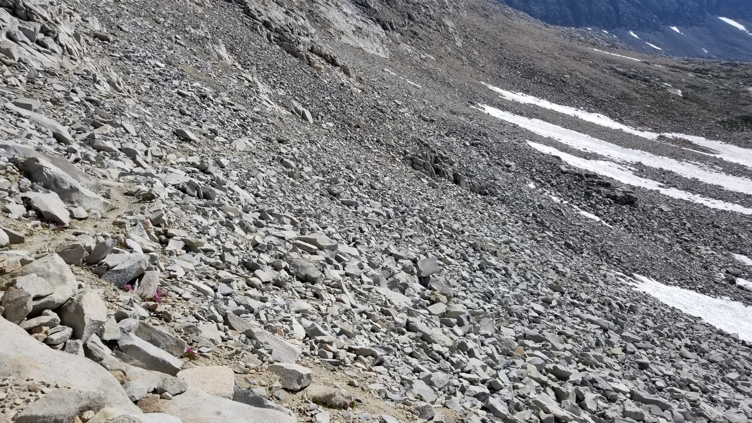
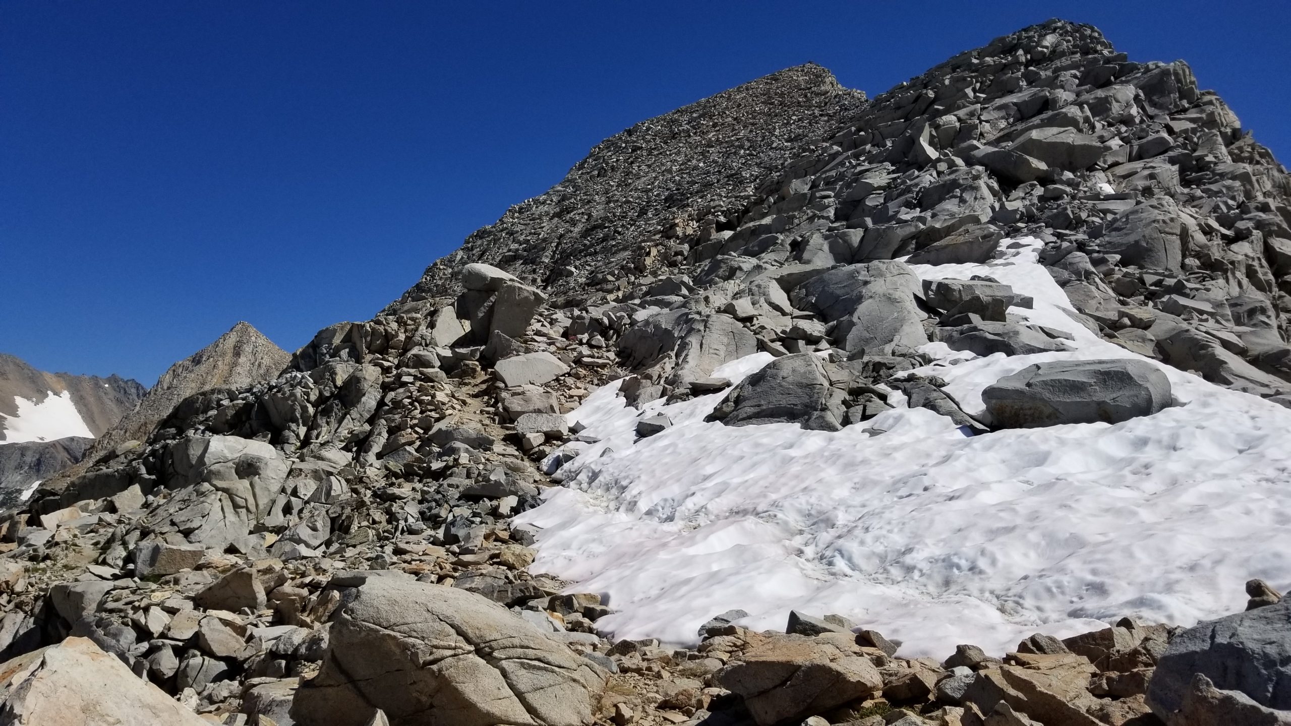
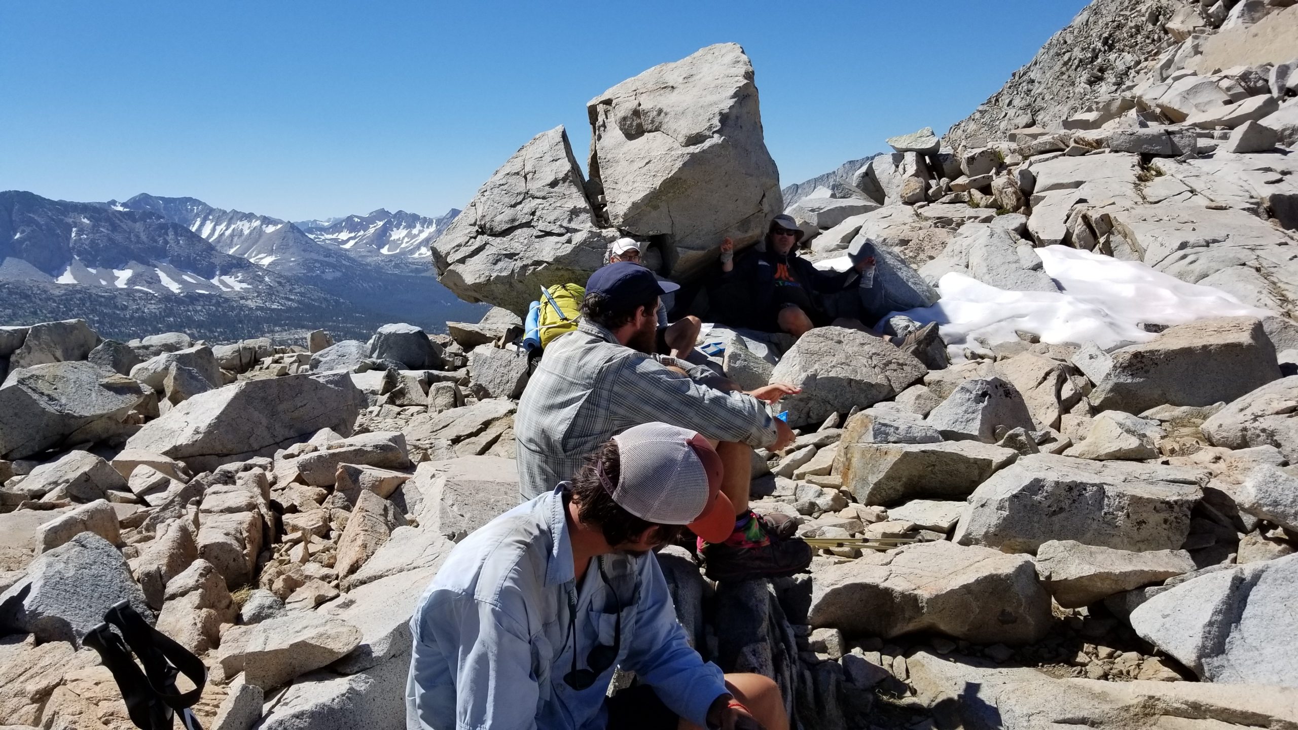
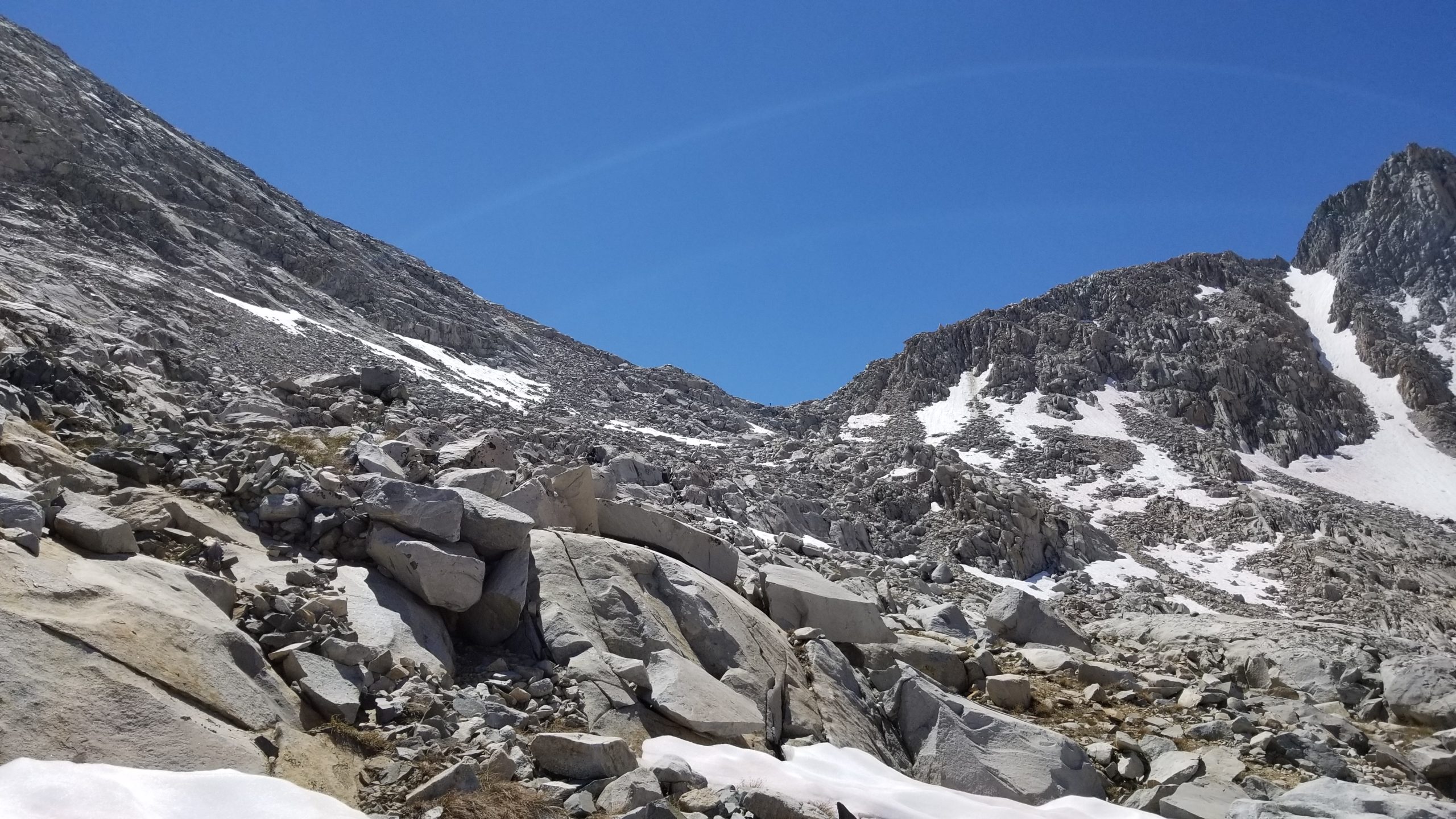
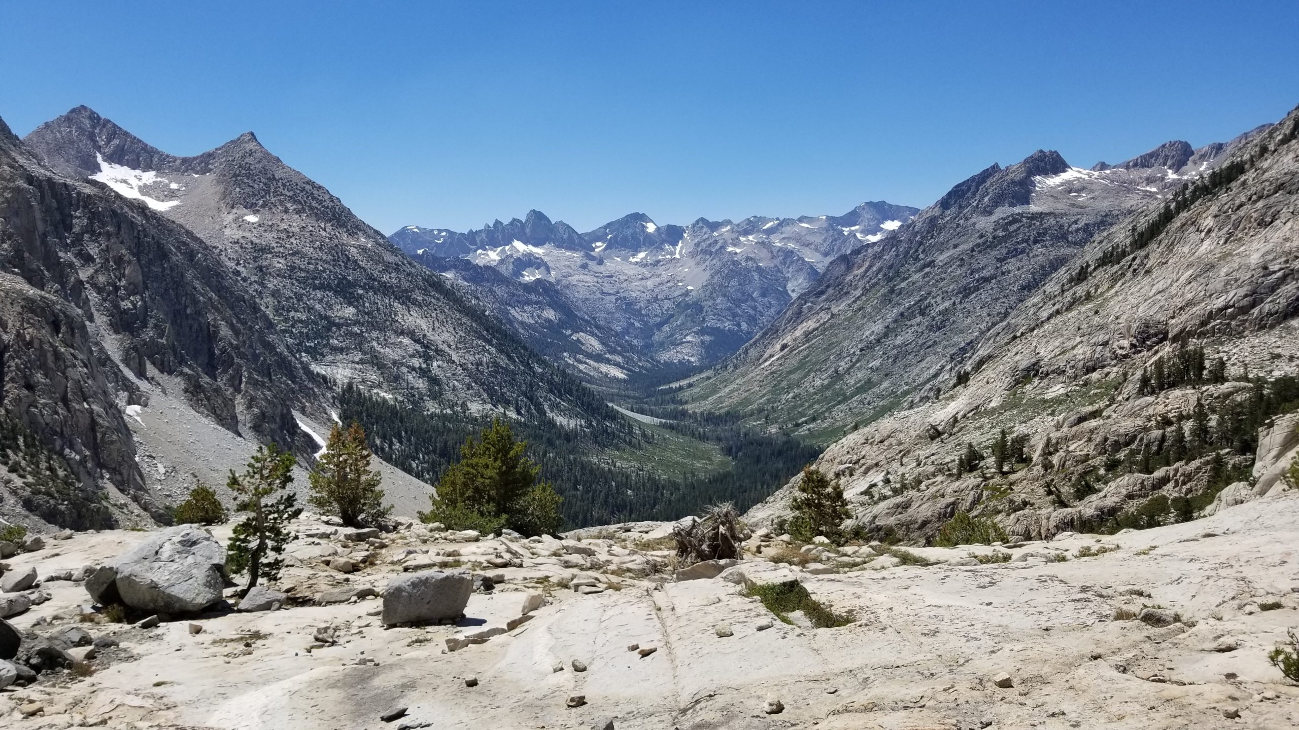
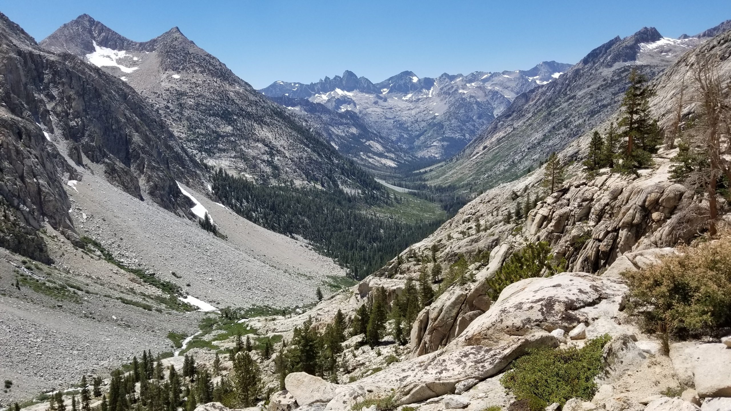
After just a couple snow patches that had me weary, I was on top of Mather Pass and took in the views. The pass itself is very rocky, and I immediately noticed that the northern descent was a mess of boulders, snow patches, and trail damage. I decided to take a pack break and let the anxiety subside, and get the rubber out of my legs.
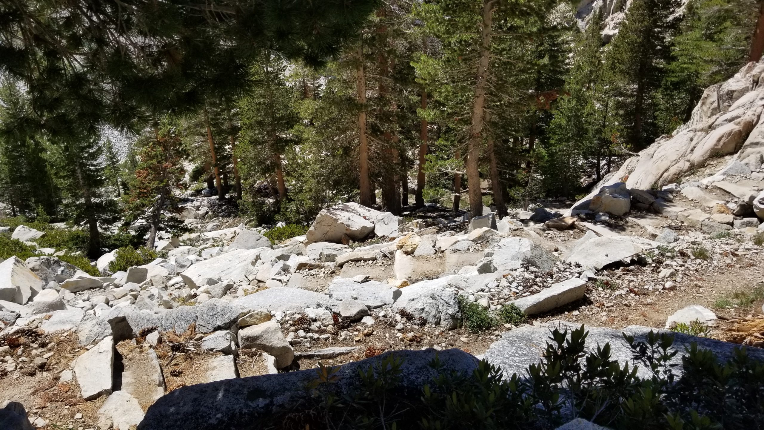
The descent was slow but doable. I used my microspikes actually, which gave me more confidence on the icy snow patches and also gave me some bite into the rocks that were rolled over the original trail and forced me to find a way through them. After a couple hundred feet down, the trail damage was minimal to gone, and I was able to get my stride back.
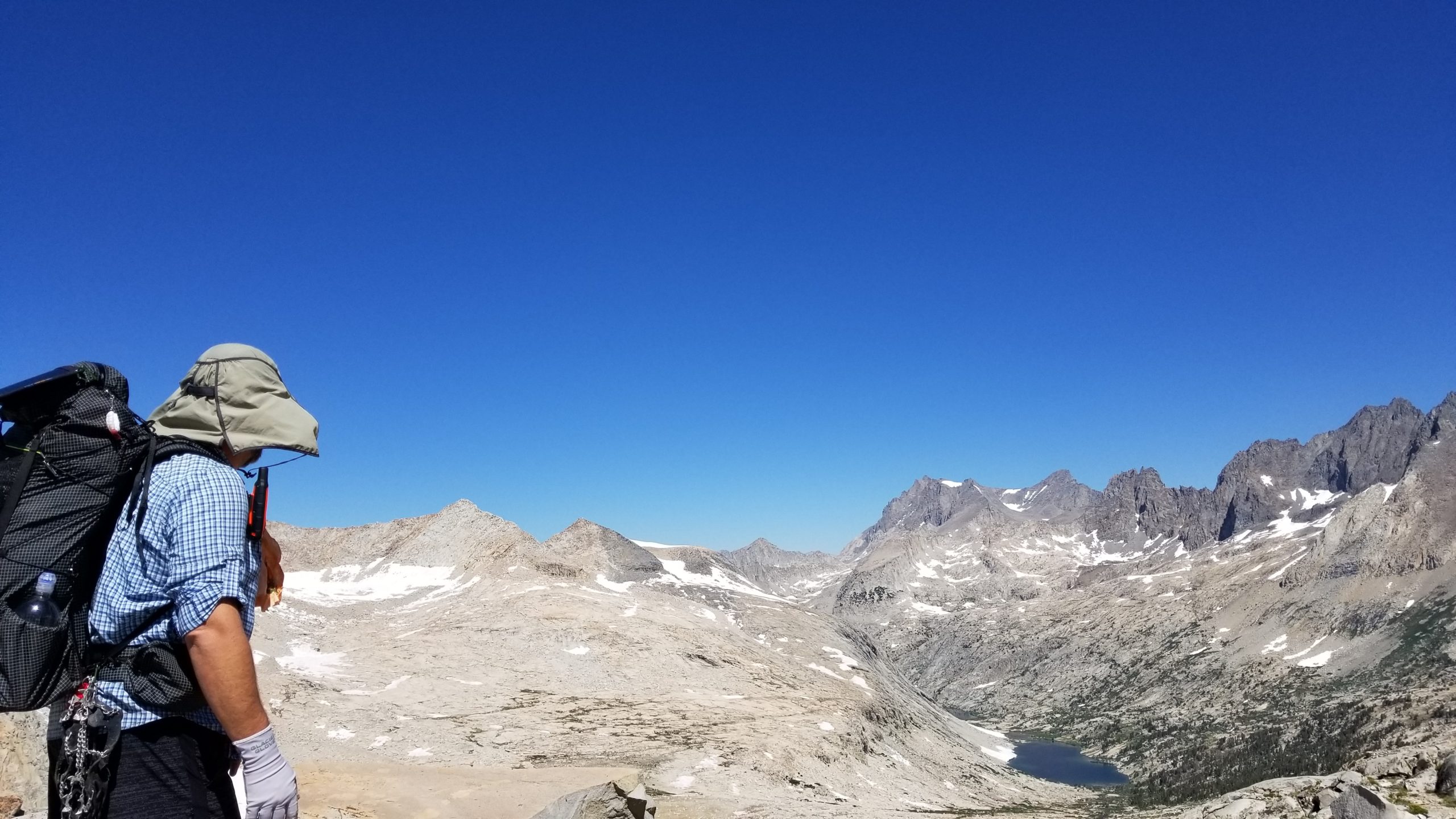
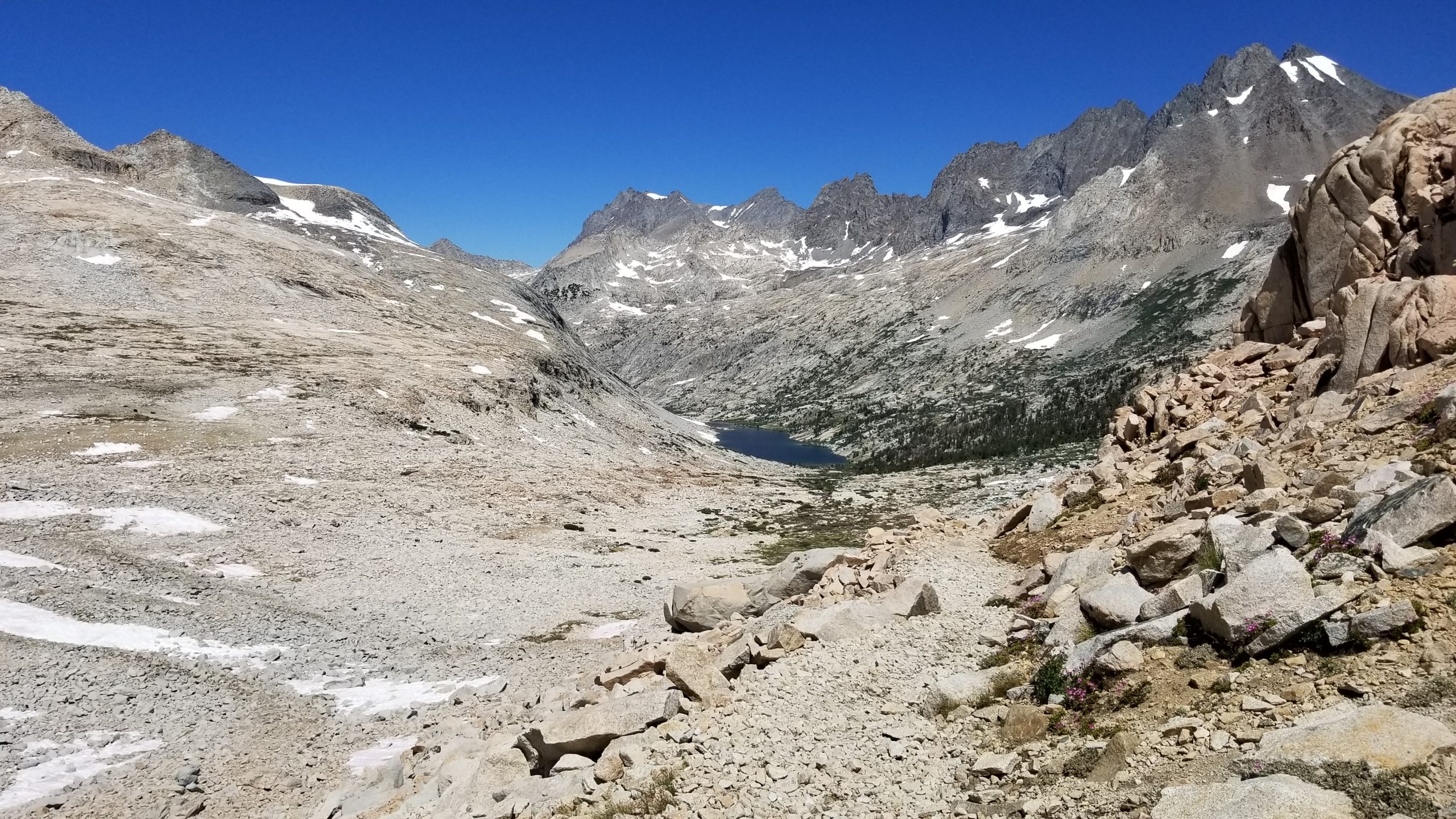
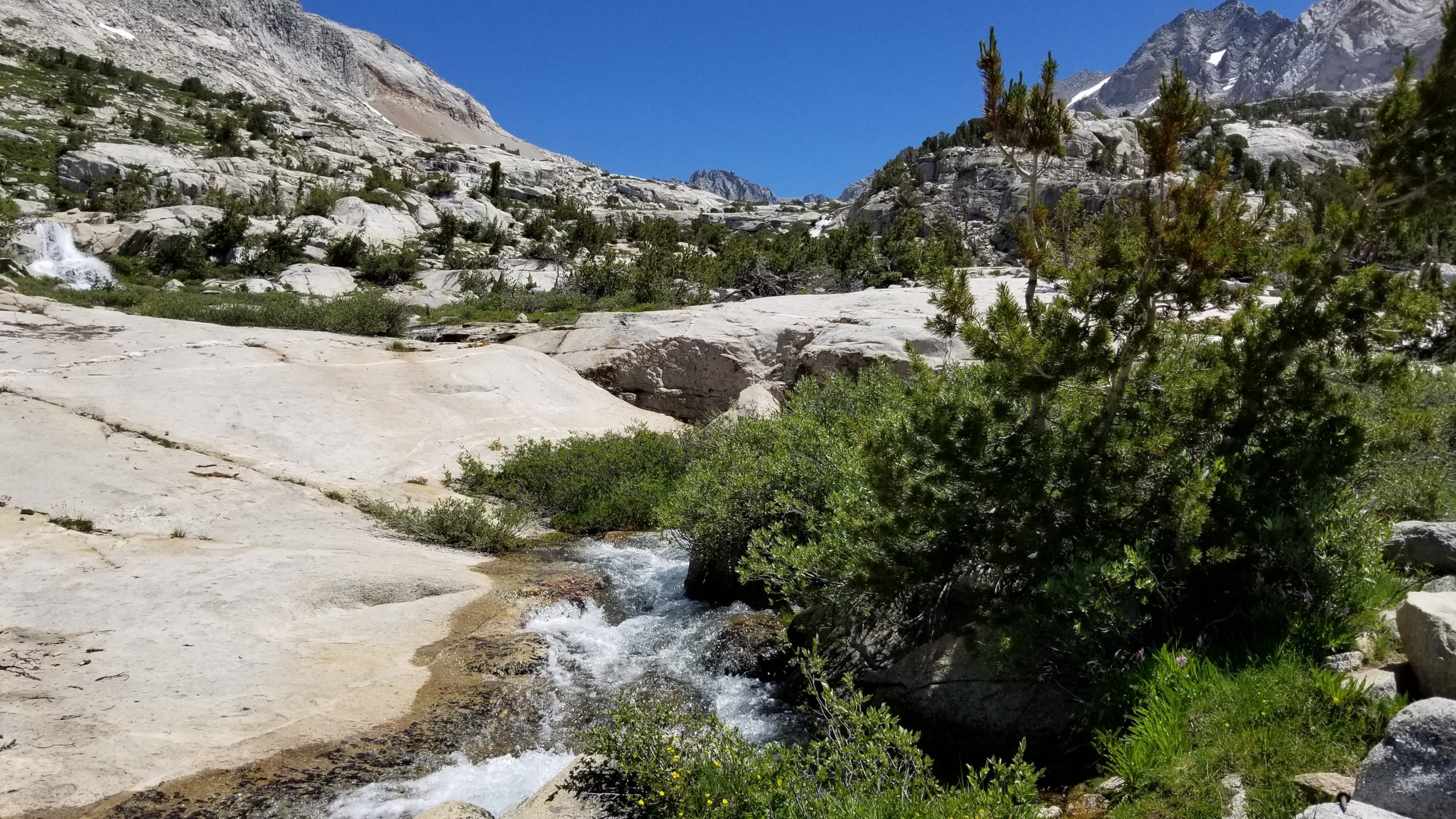
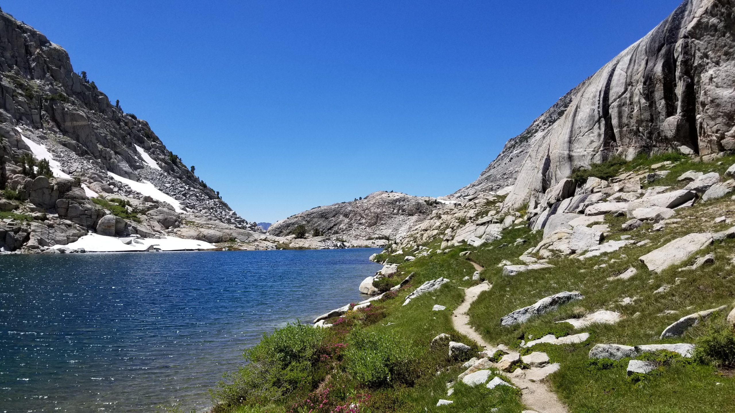
The views of Palisade Lakes on the way down was worth it. They were a welcome water refill and break spot before my next obstacle – the Golden Staircase. I was already happy that I was going northbound, which meant I got to go DOWN that area instead of up. Well, it was a real knee killer but I made good time down, which was good because it was an unusually warm day and water was scarce through there. I actually got a little more confident than normal, and on one switchback I rolled my ankle and had to tuck and roll onto my pack. I sat up and assessed that I did zero damage to myself, and even was able to absorb the fall on the ankle and not sprain it. Very very lucky. I continued down until I was back in the trees again and cooled off in the shade and found good water to filter.
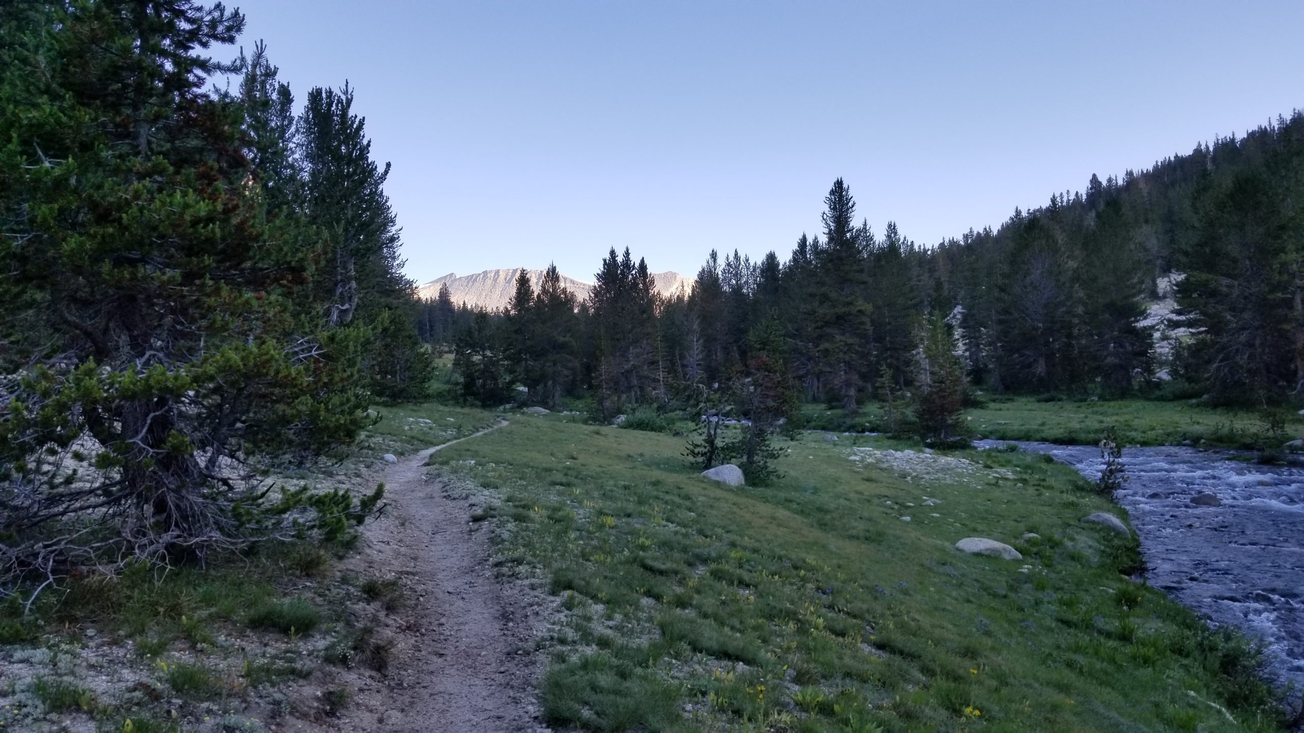
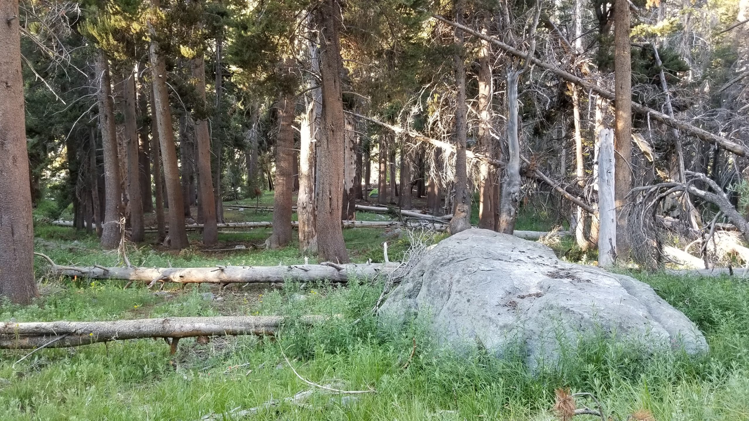
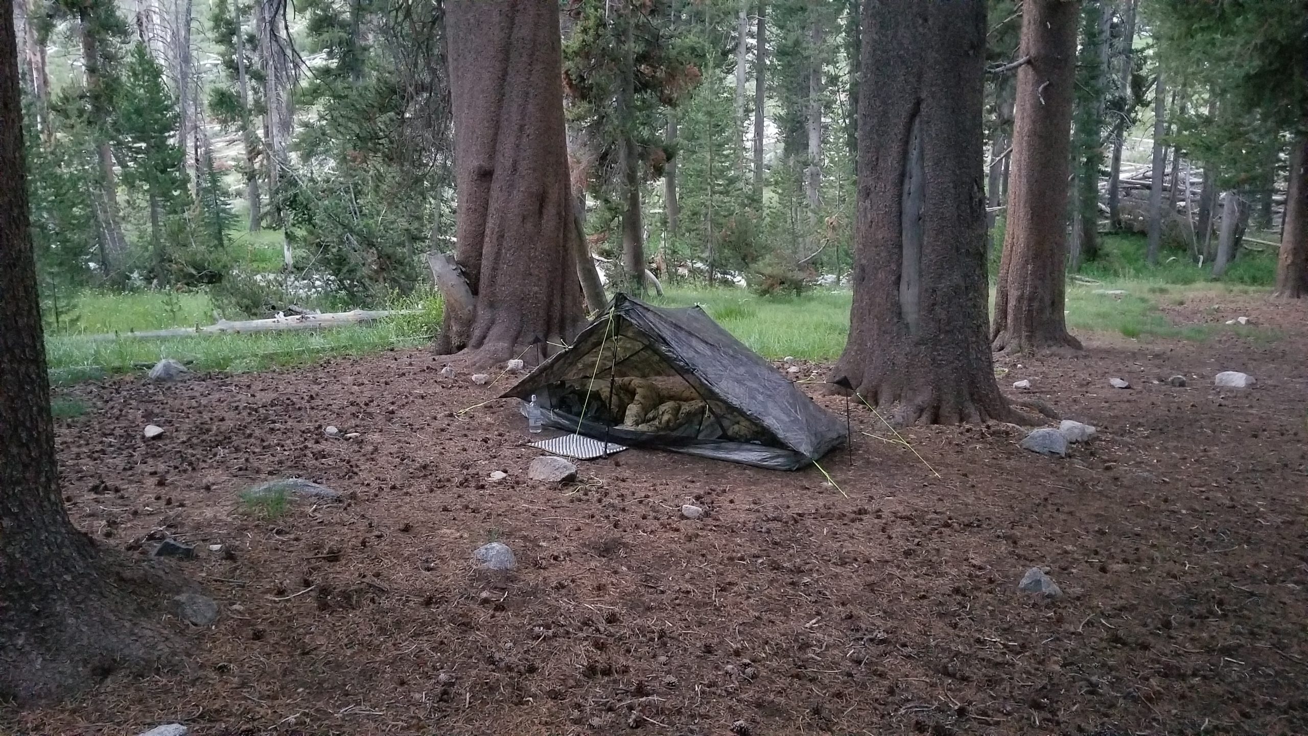
I didn’t waste time finding a camping spot. Deer Meadow was already the planned target area, and it worked out perfectly. I spotted a cleared area down near the creek, and ended up camping next to 4 other thru-hikers. It was nice after 4 days to have some camp company for the evening. Yes, there are lots of deer at Deer Meadow. After 3 or 4 just walked right through camp like we weren’t there, I stopped filming them. My tent site was perfect, and I got to bed right at sundown after a hot dinner.