Interactive Map – how to use
On a PC, drag the map around and zoom in/out. On a mobile device, use 2 fingers to move the map around and to pinch for zoom. Click or tap on a track or a waypoint dot for more details about that feature. Mouse or finger slide over the elevation profile graph and look to see where that point is located on the map as you move along it.
Click the white arrow in the lower right corner of the main map to expand a mini-map that gives reference to the surrounding area around it.
Download this map file for your own use:
Download the tracks and waypoints files in various different formats via clicking the small icons on the top right corner (GPX, GeoJSON, KML, or GeoRSS) and saving to your computer/mobile. GPX format is the most versatile, and has all track and waypoint data. The KML download feature currently is only providing some waypoints, but no track data.
![]()
Mouse over this icon (if visible) in the upper right corner of the map to get an option to select an individual track section for which you’d like to see details, or to see it on the elevation profile graph below the map. (for maps with multiple tracks only)
![]()
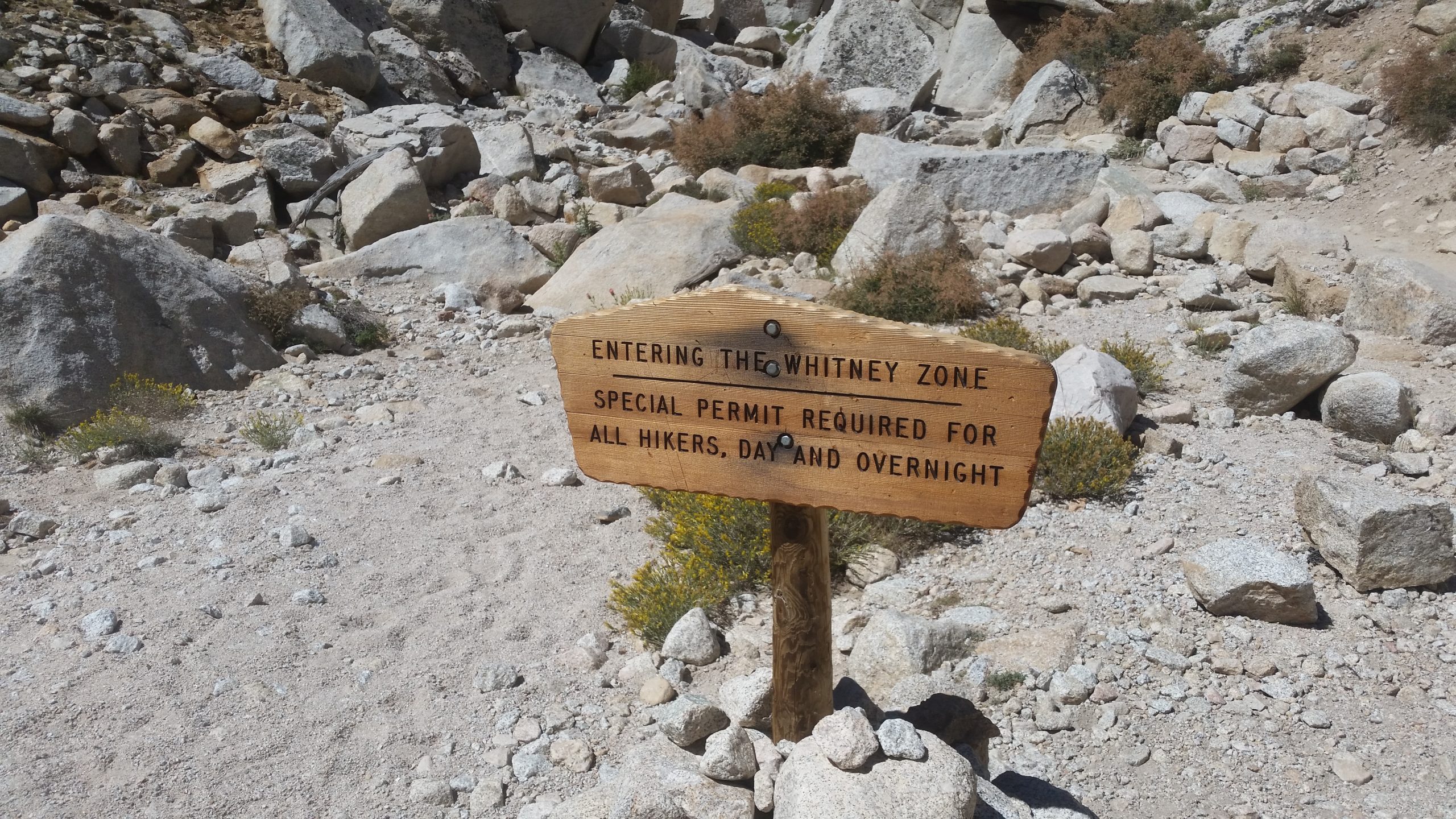
Dates: August 4-9, 2016
Distance: 50.9 miles
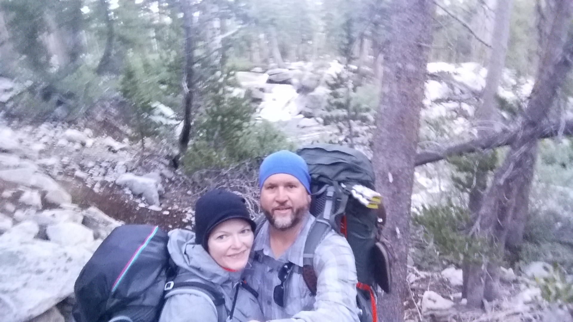
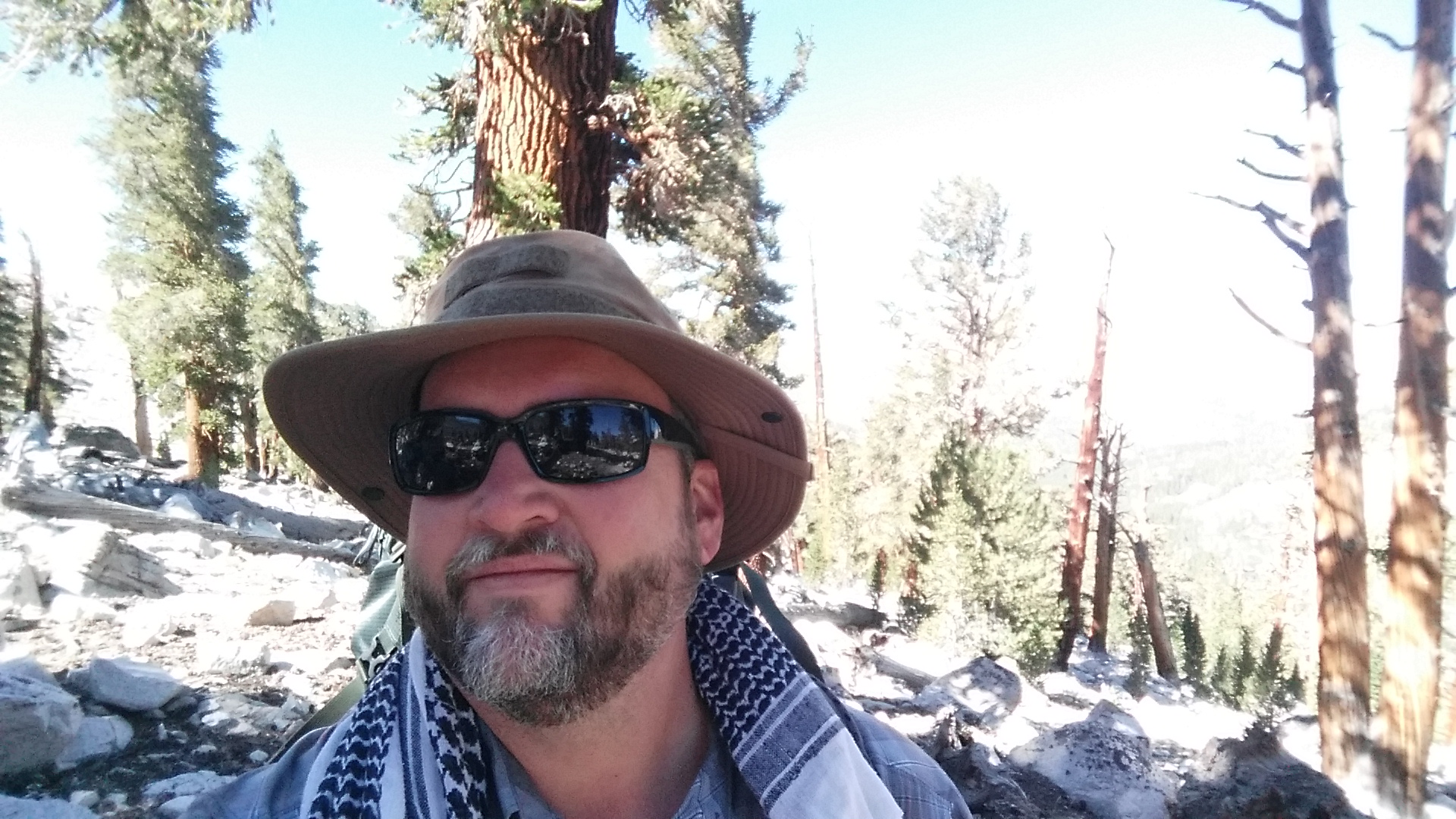
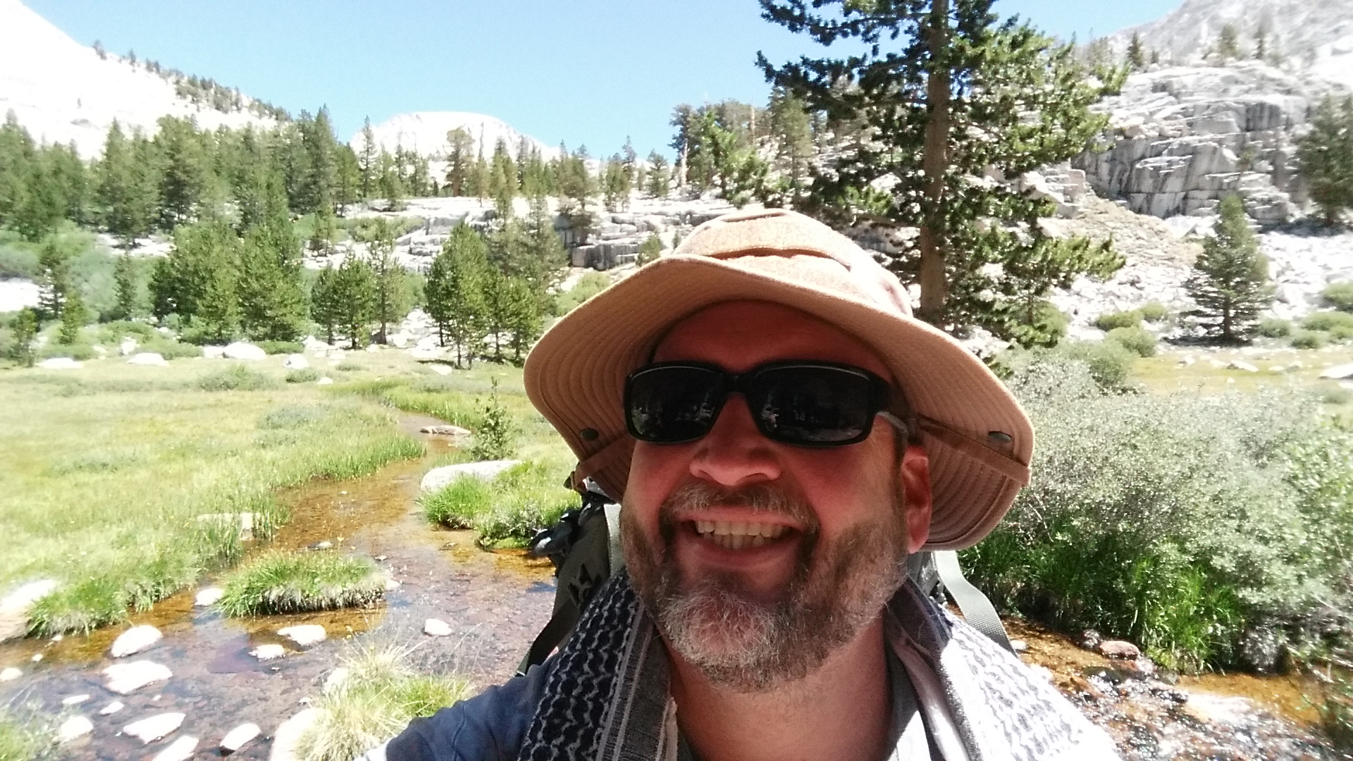
This was our southbound journey from Onion Valley to Whitney Portal, conquering the southern end of the John Muir Trail at the top of Mt. Whitney. We hiked for 48 total miles over 6 days which included the entrance in from Onion Valley and also the exit from Mt. Whitney’s summit to Whitney Portal.
This was our second section-hike of the JMT.
Agenda:
Day 1 – Onion Valley > Upper Vidette Meadow
Day 2 – Upper Vidette Meadow > Tyndall Creek
Day 3 – Tyndall Creek > Wallace Creek
Day 4 – Wallace Creek > Guitar Lake
Day 5 – Guitar Lake > Mt. Whitney Summit > Trail Camp
Day 6 – Trail Camp > Whitney Portal
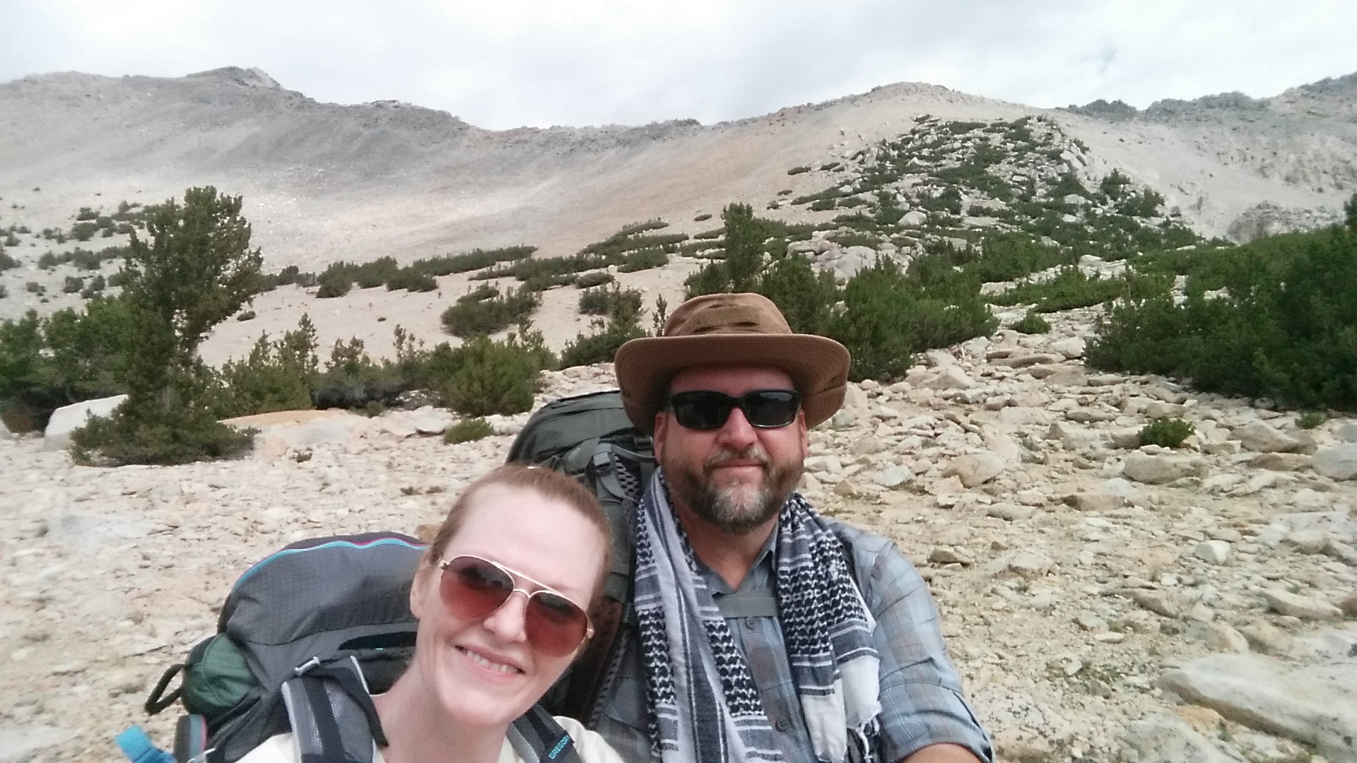
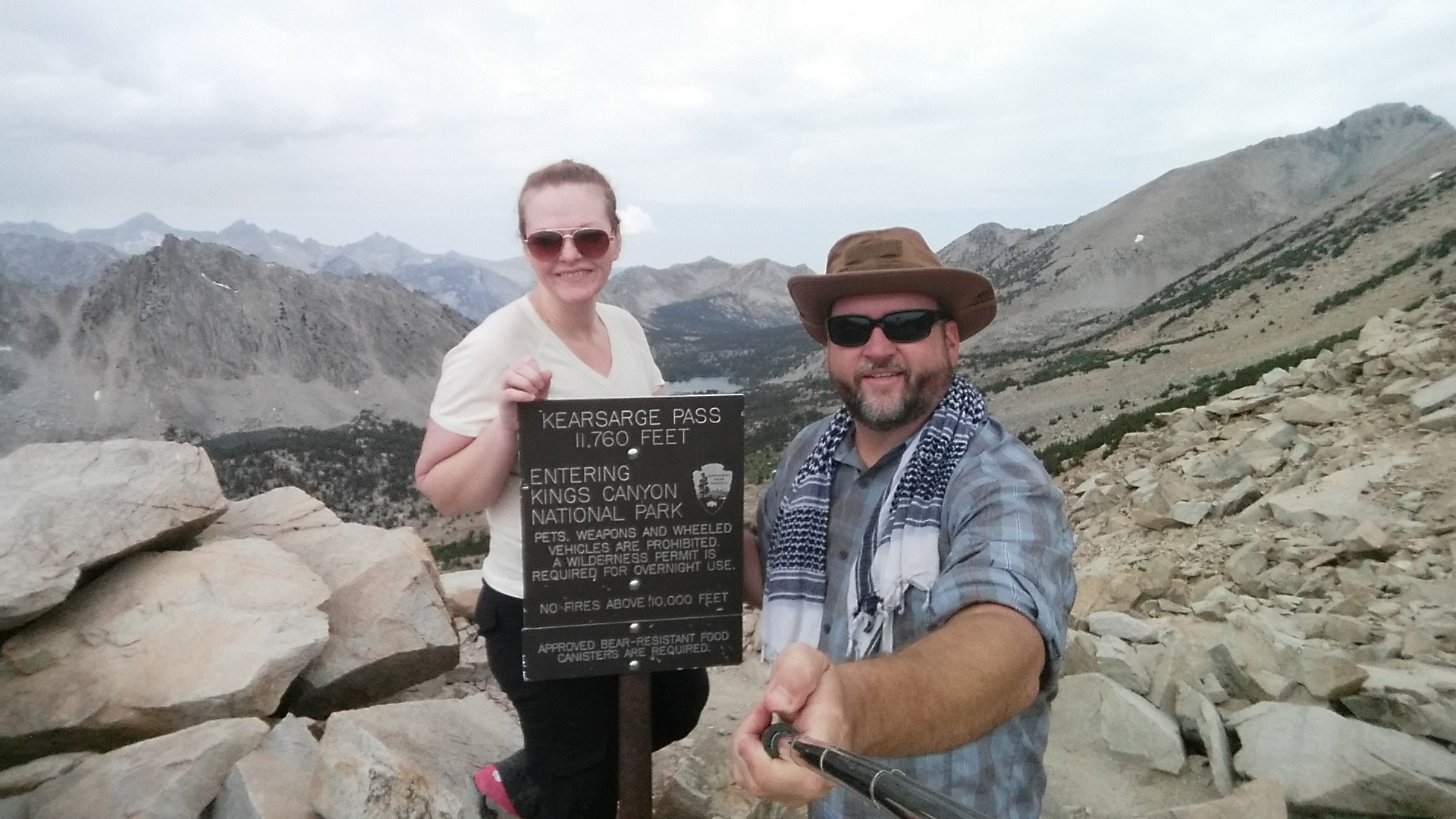
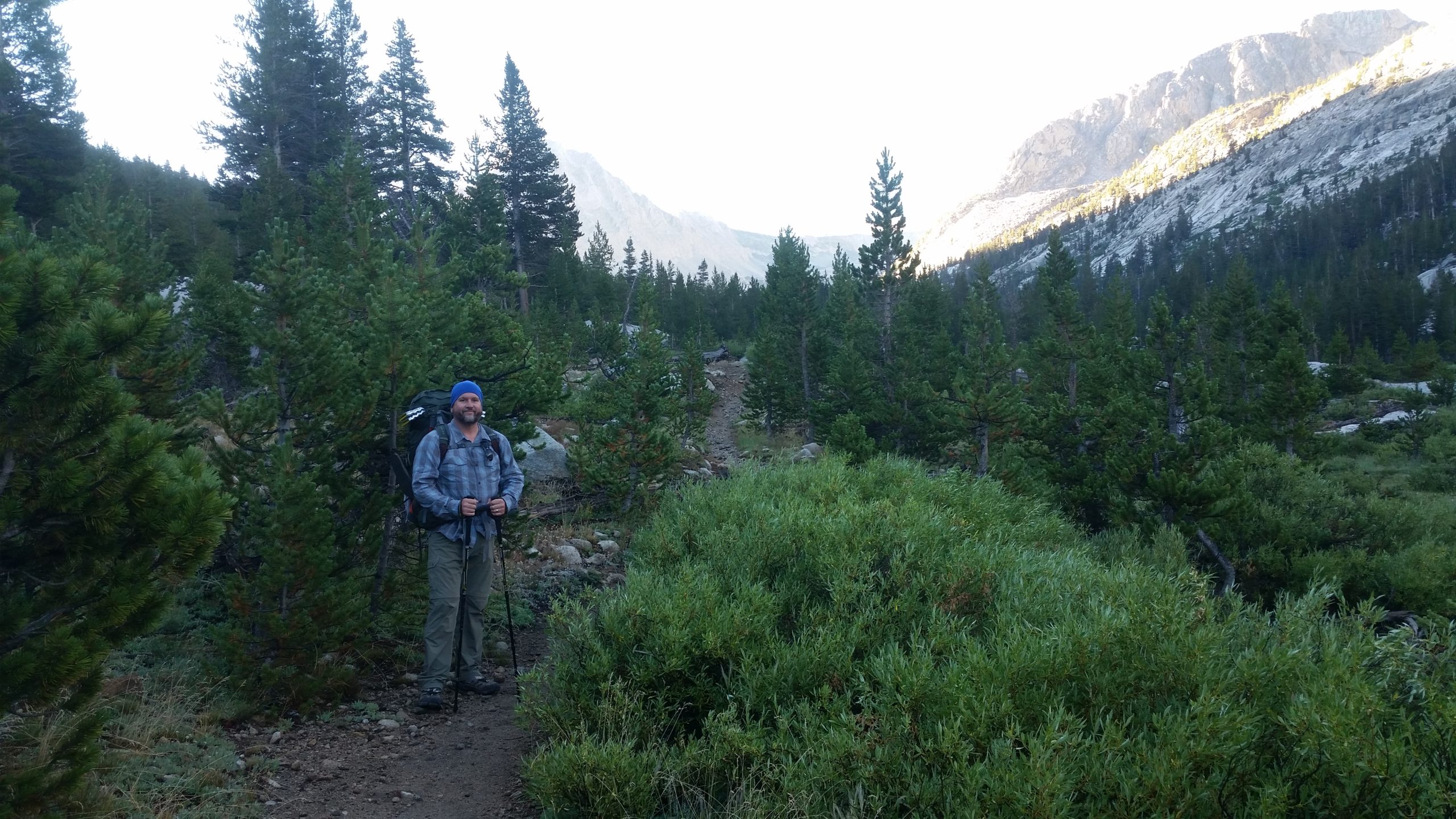
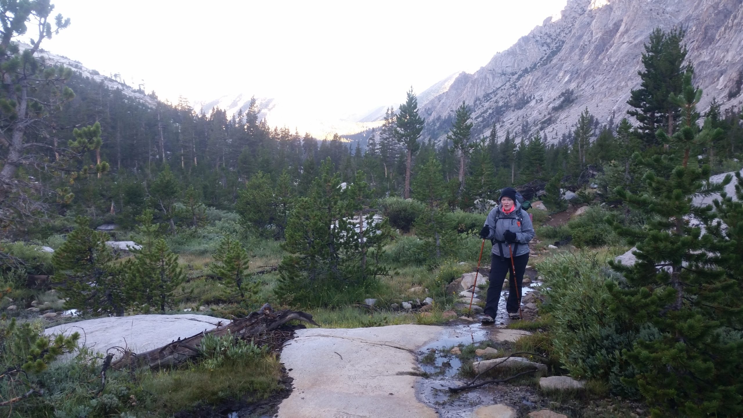
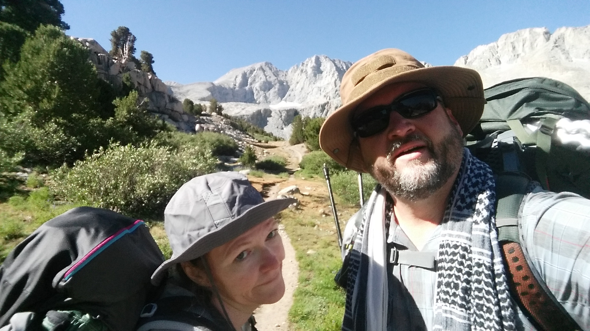
Day 1 - Onion Valley > Upper Vidette Meadow
Distance: 10.4 miles
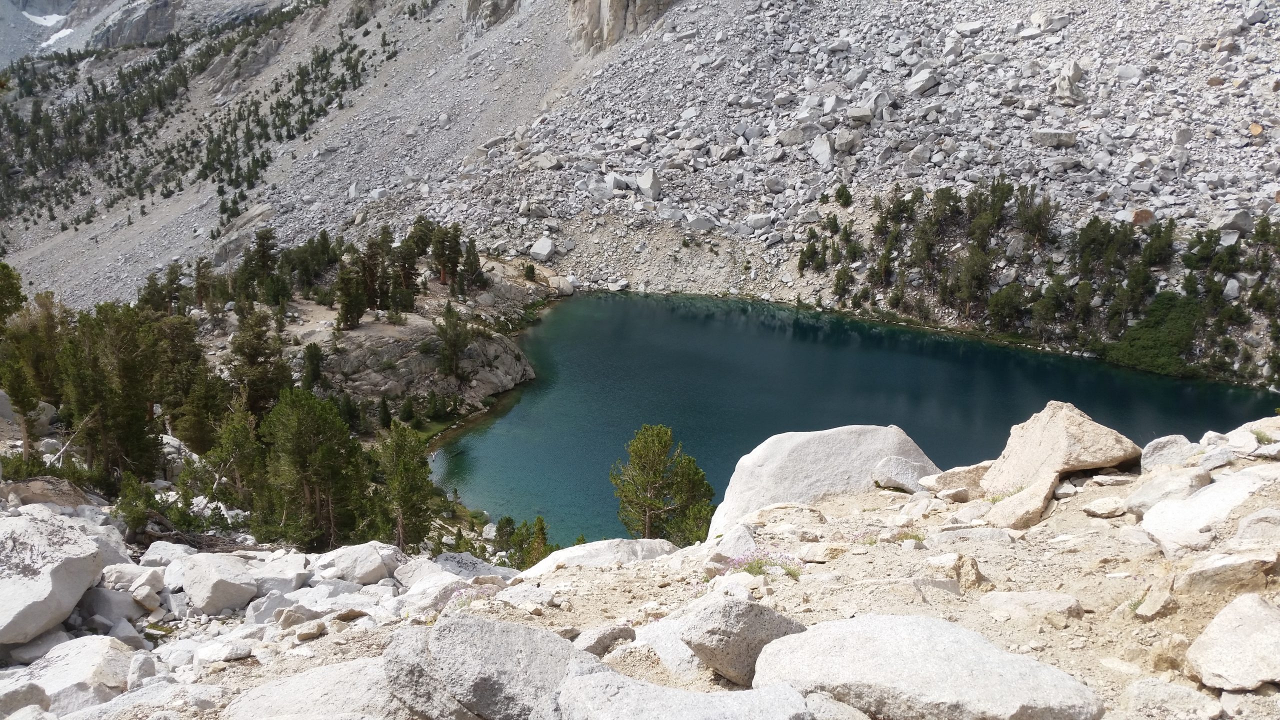
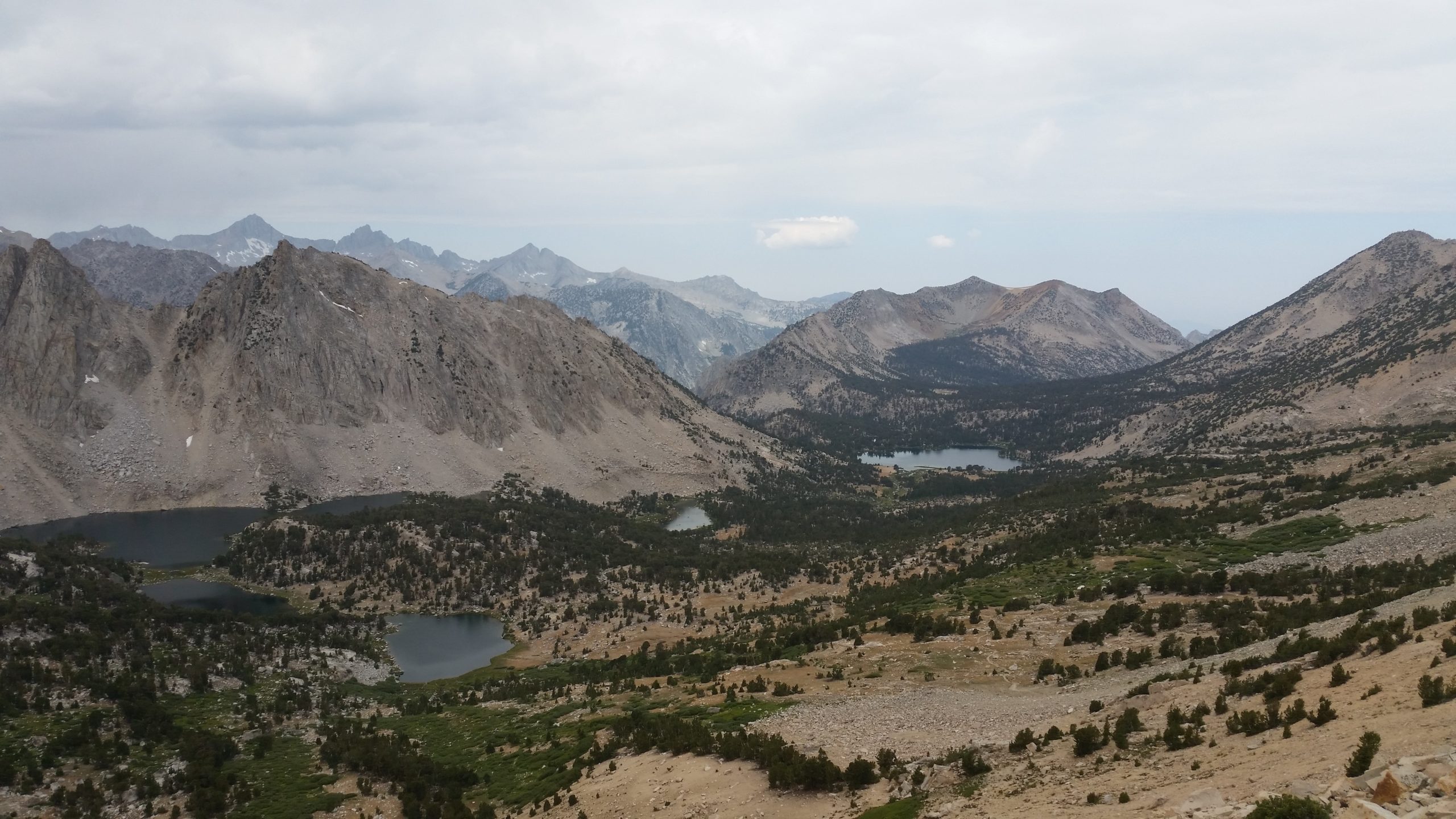
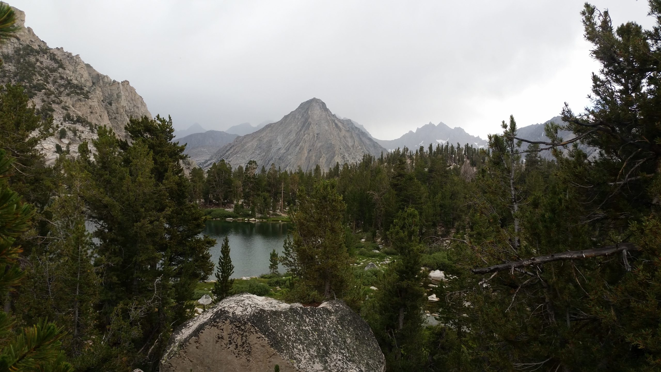
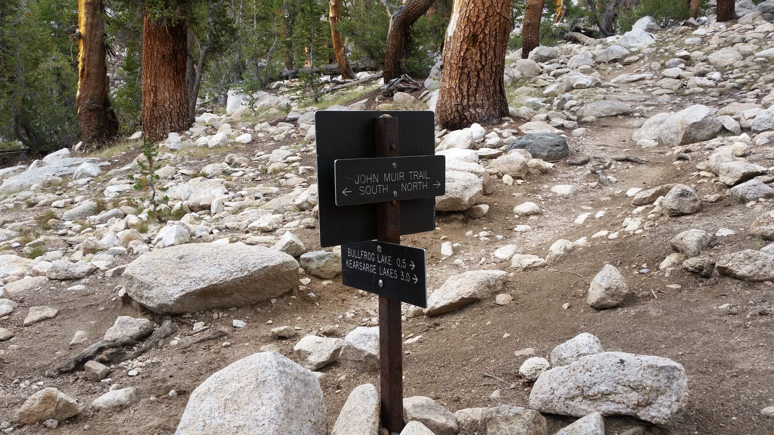
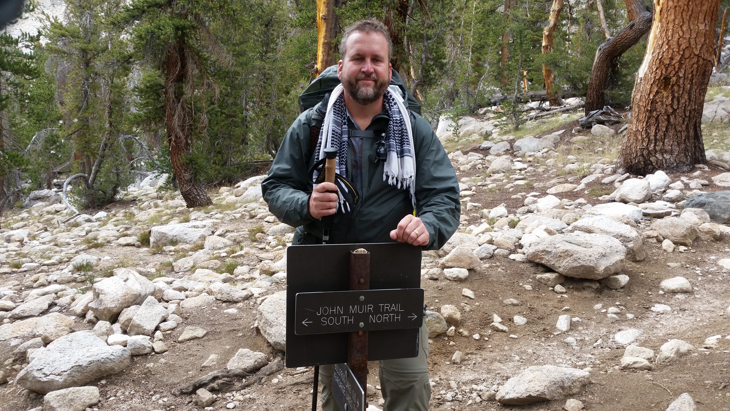
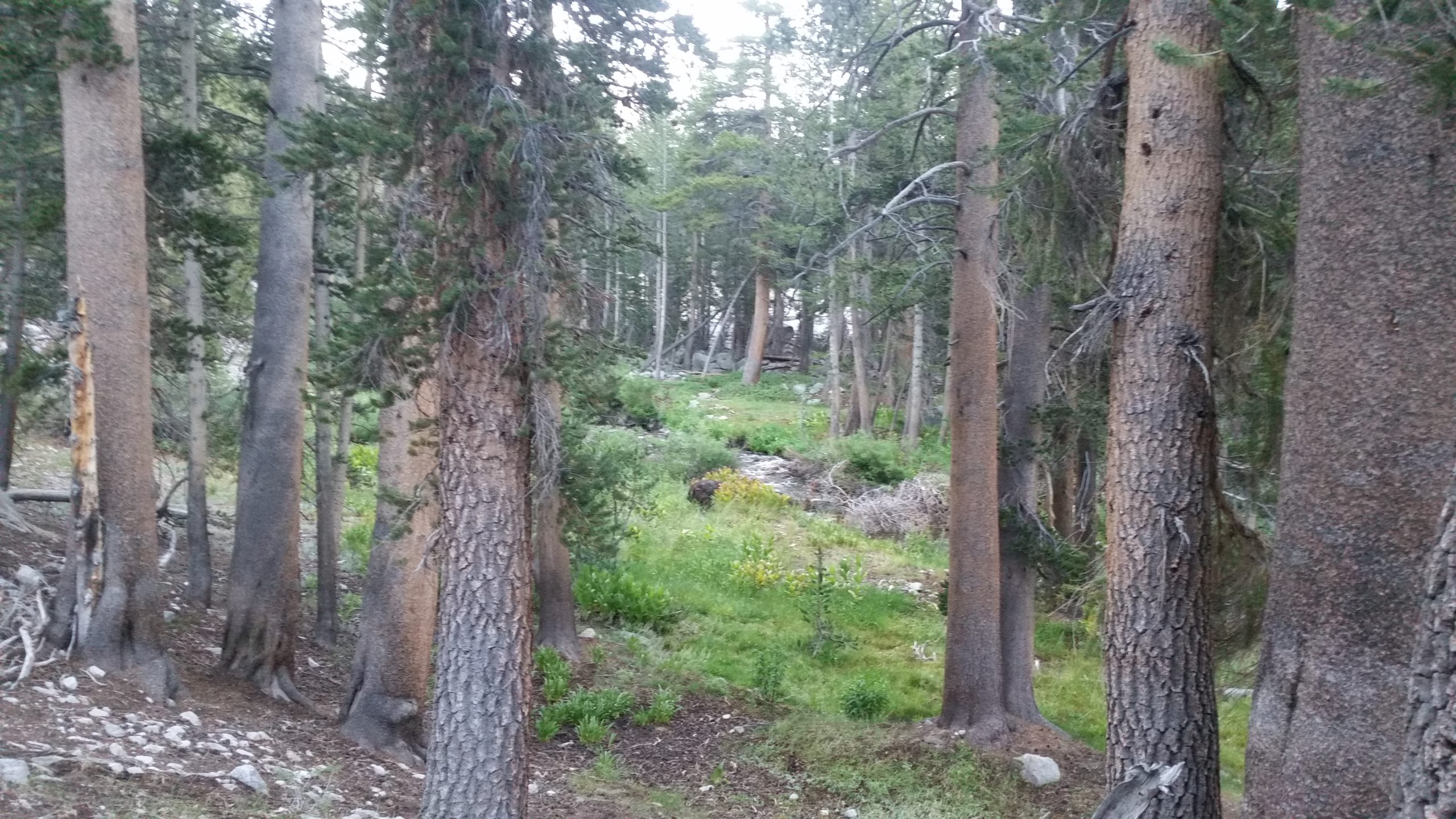
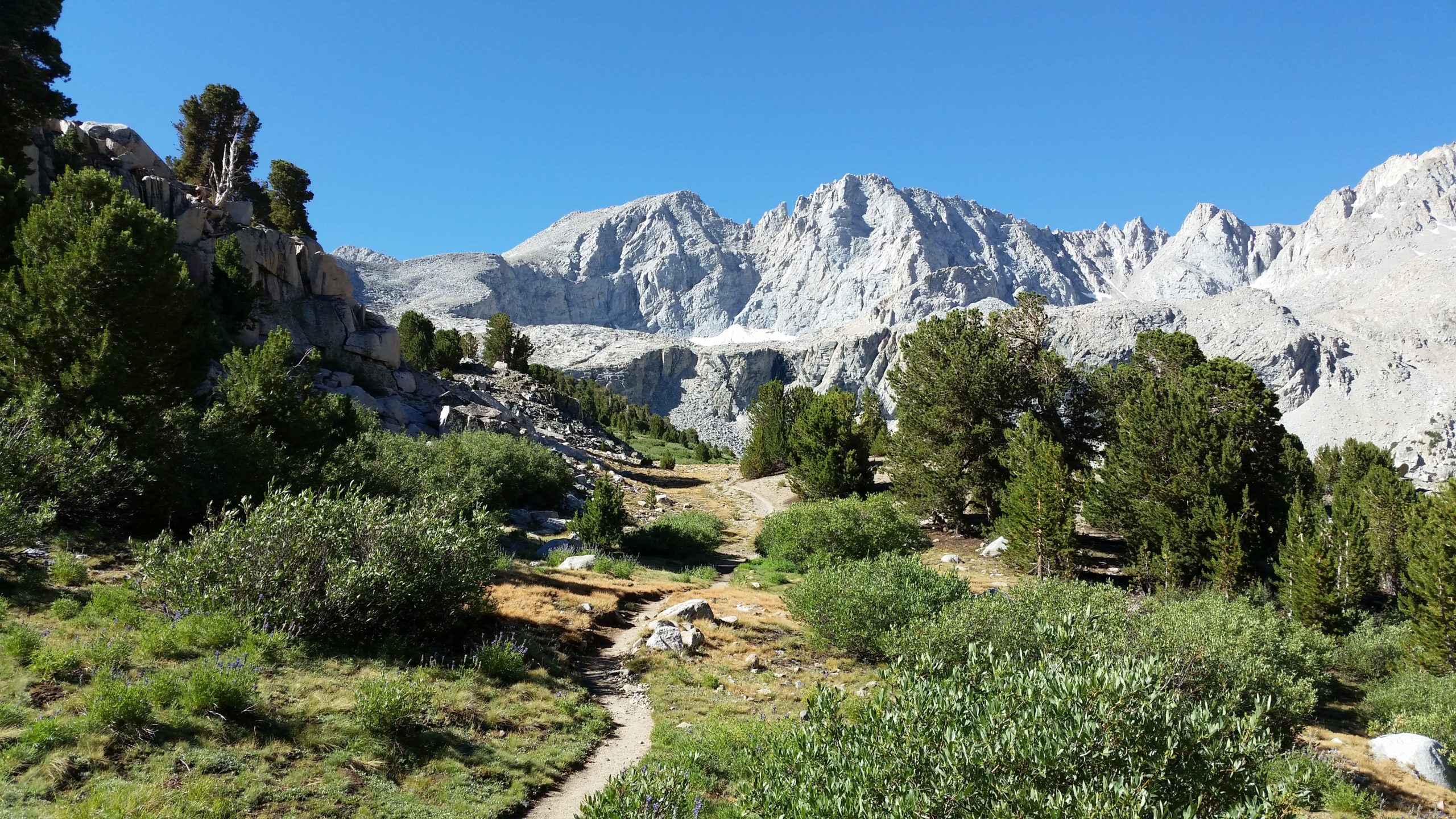
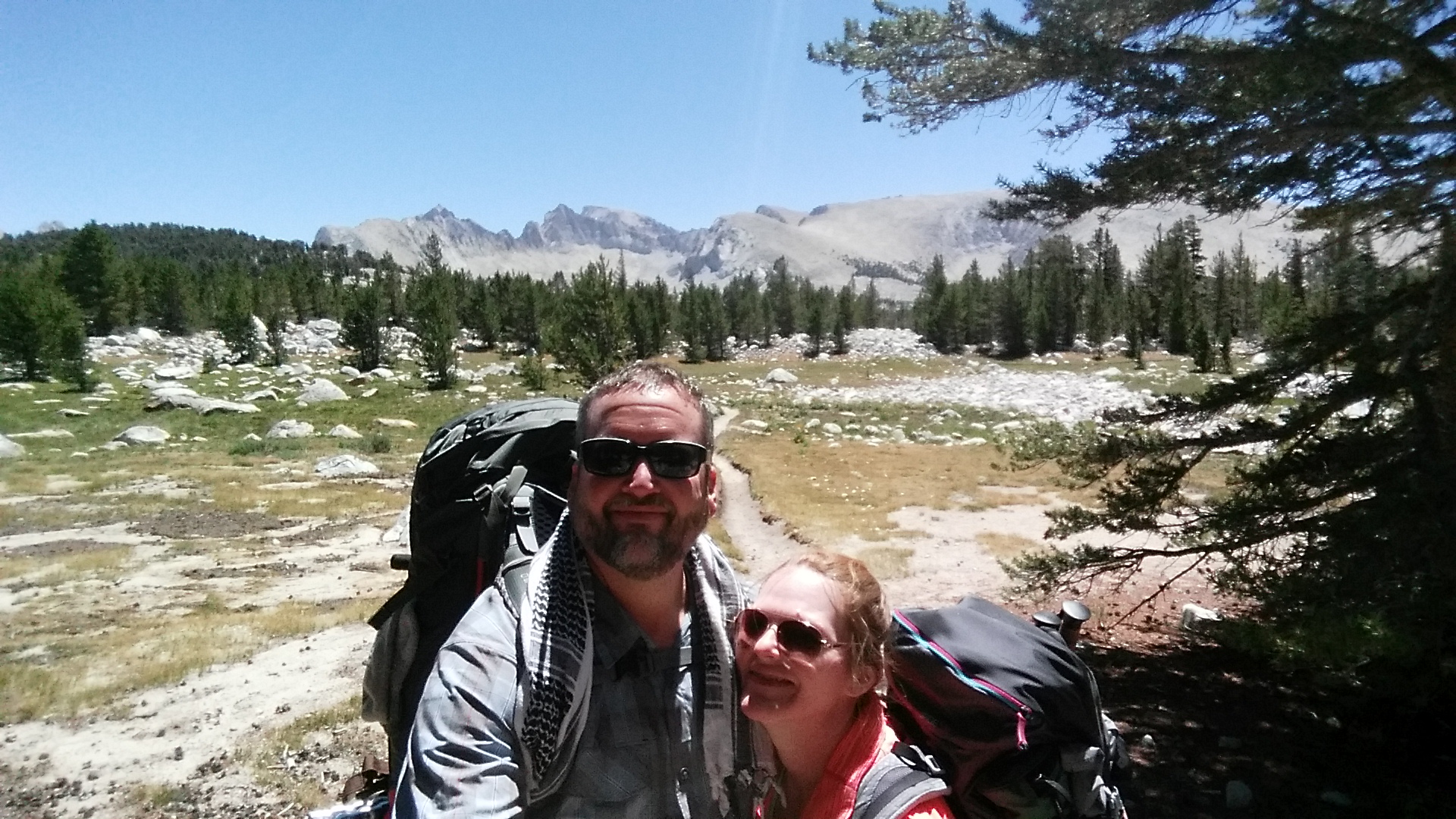
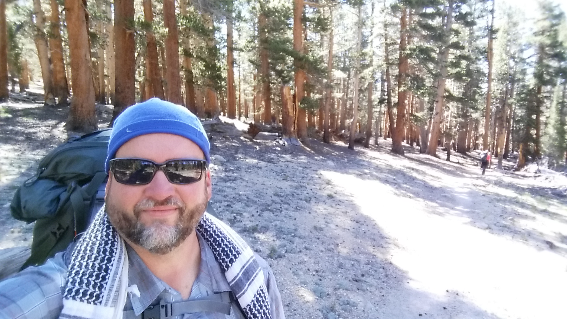
Starting at the Onion Valley trailhead (very accessible trailhead to the JMT and “relatively” easy to procure a permit), we head over Kearsarge Pass and descend down by the Kearsarge Lakes and west past Bullfrog Lake. We reach the JMT junction and head south, continuing on a good downhill into the Bubbs Creek valley and then continuing a bit further where the trail starts to slowly ascend again. We find a good first campsite and set up our tent for the night.
Day 2 - Upper Vidette Meadow > Tyndall Creek
Distance: 12.5 miles
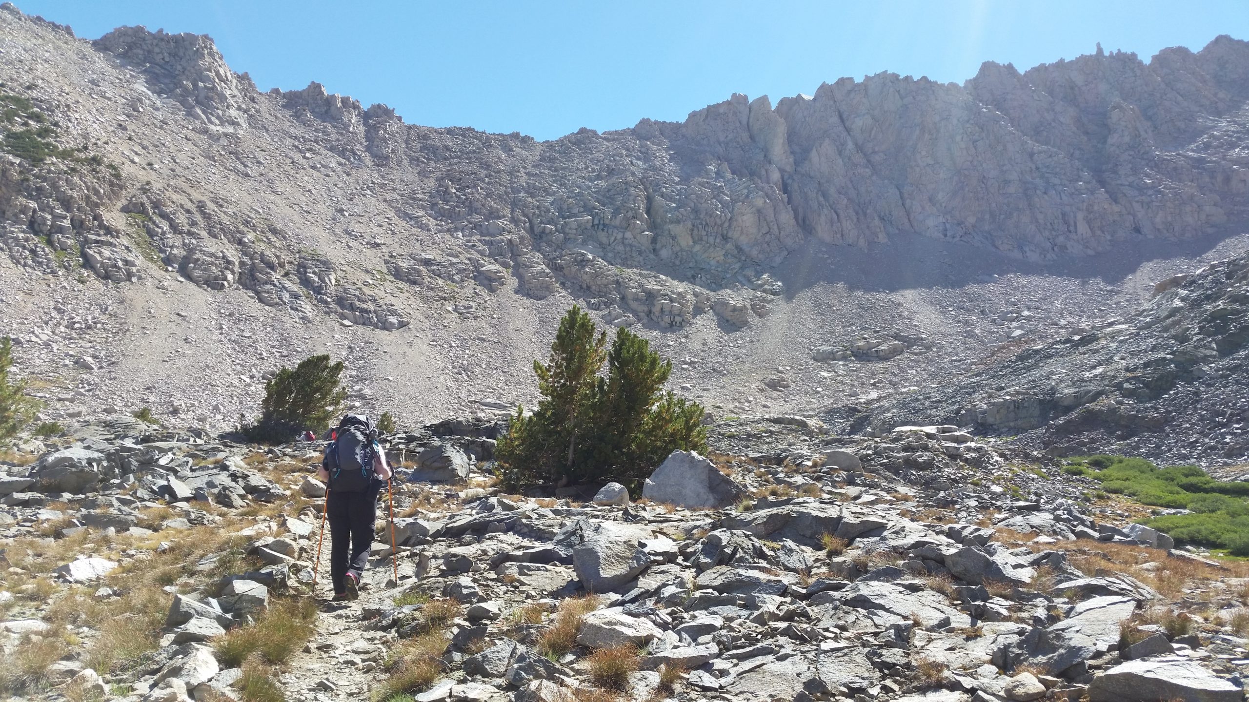
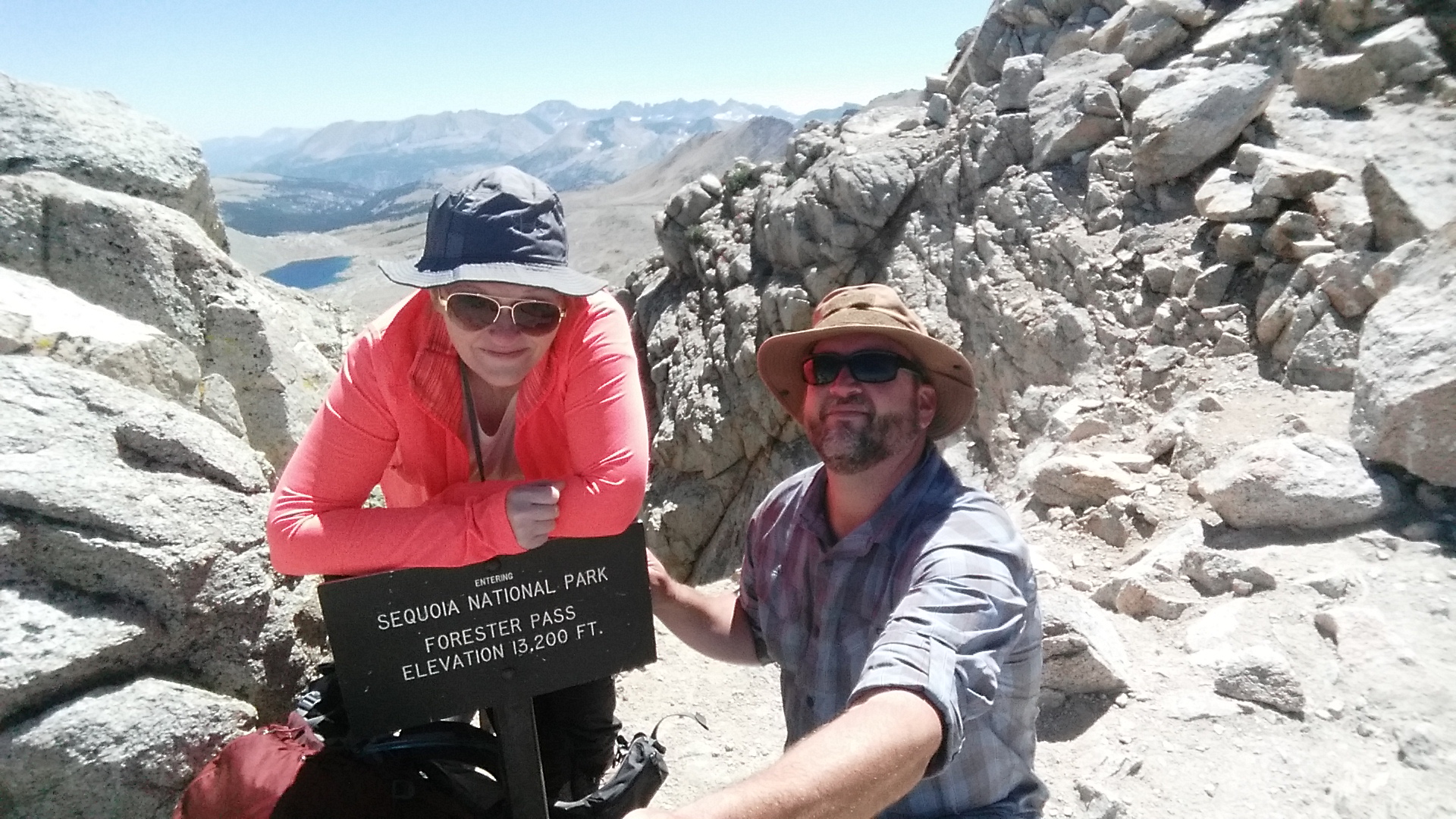
Day 2 was our physically hardest day of the trip. The southbound approach to Forester Pass just keeps going and going and going and has a continuous uphill grade throughout. We got an early start to the day and were already hiking at first sun, which was fortunate because getting over Forester safely and to our desired camp area took until sunset.
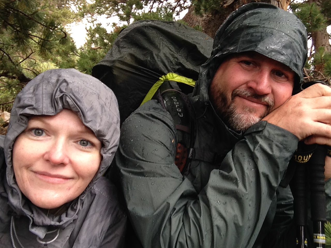
The long ascent up Forester is where my wife got pulmonary edema from the altitude. Her body has always been succeptable to altitude, but it really showed on this trip due to the higher elevations than we had trained in, and that it’s constant strenuous work. She was literally coughing up pink foam. We needed to hurry and get over and back down to lower grounds for camp to see if she could get relief.
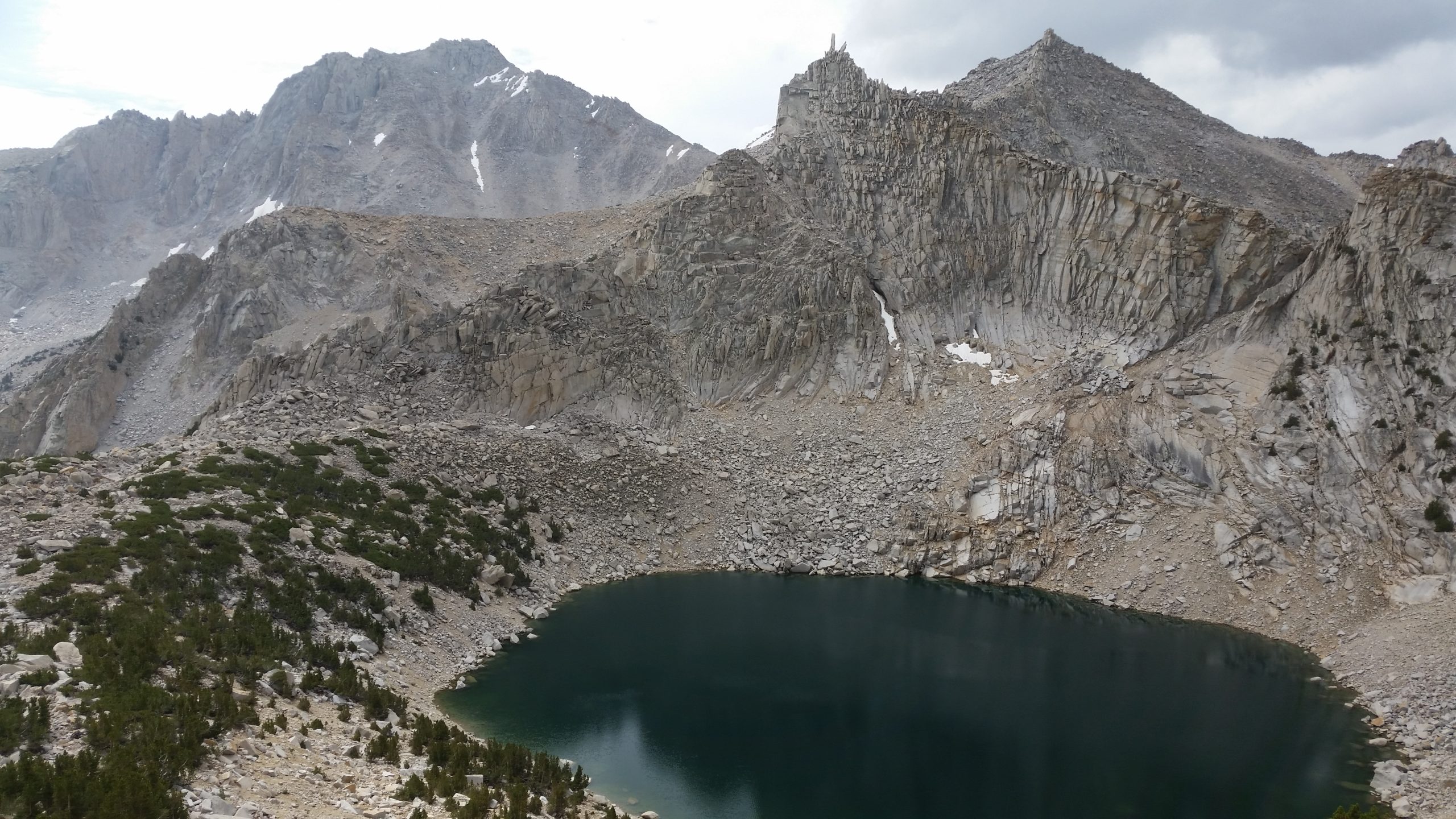
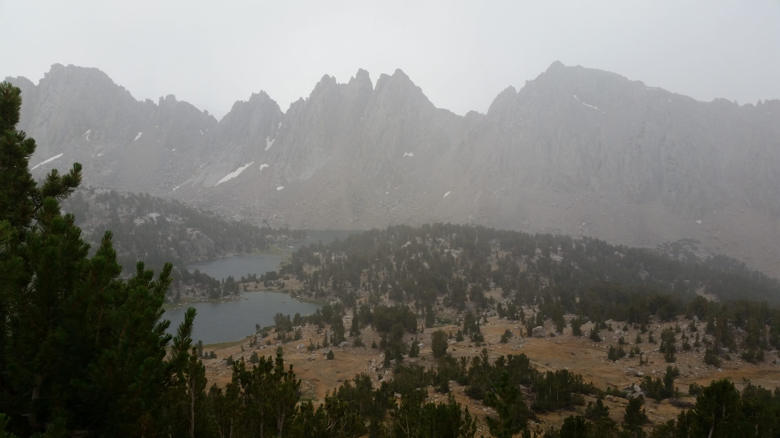
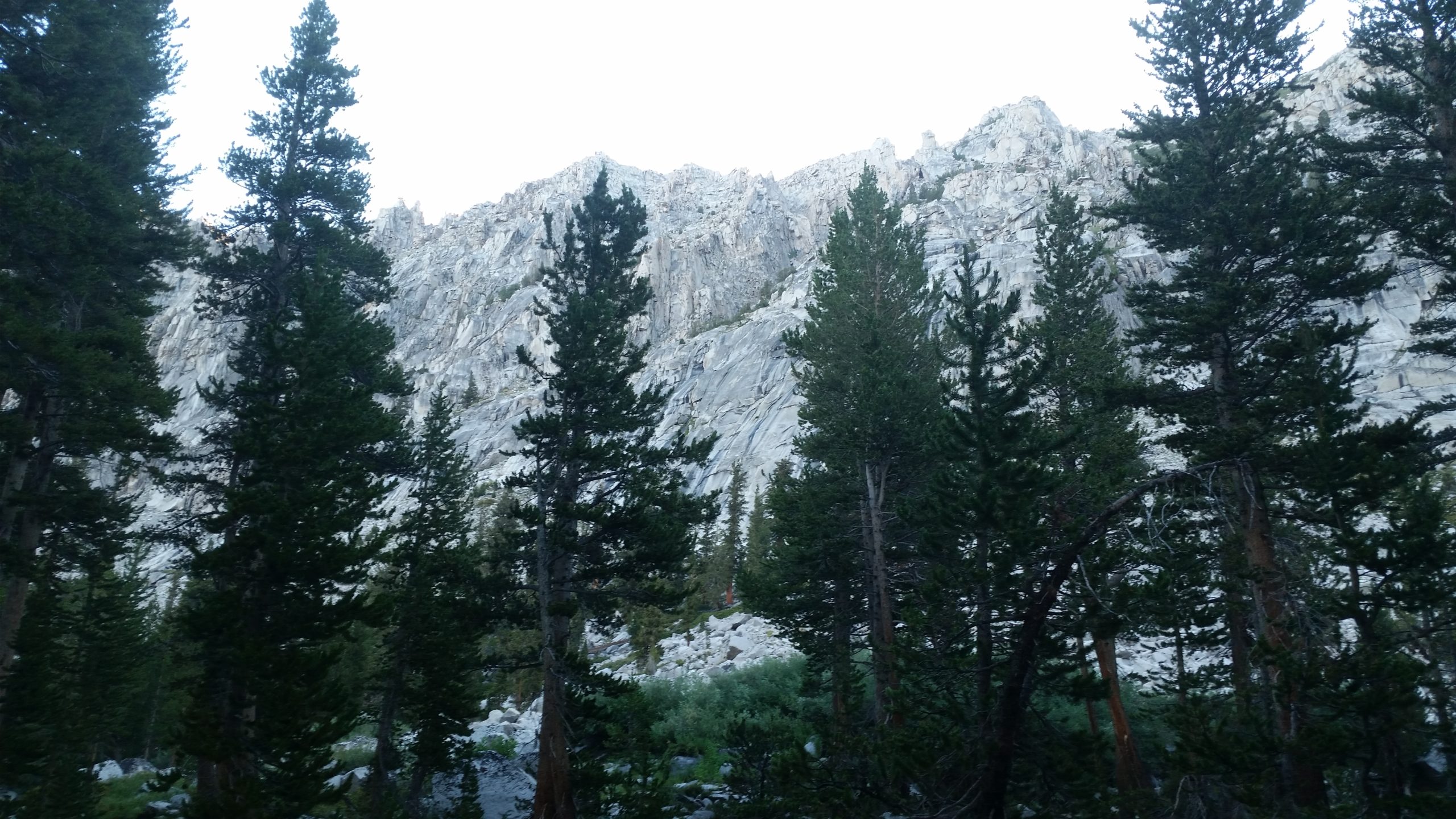
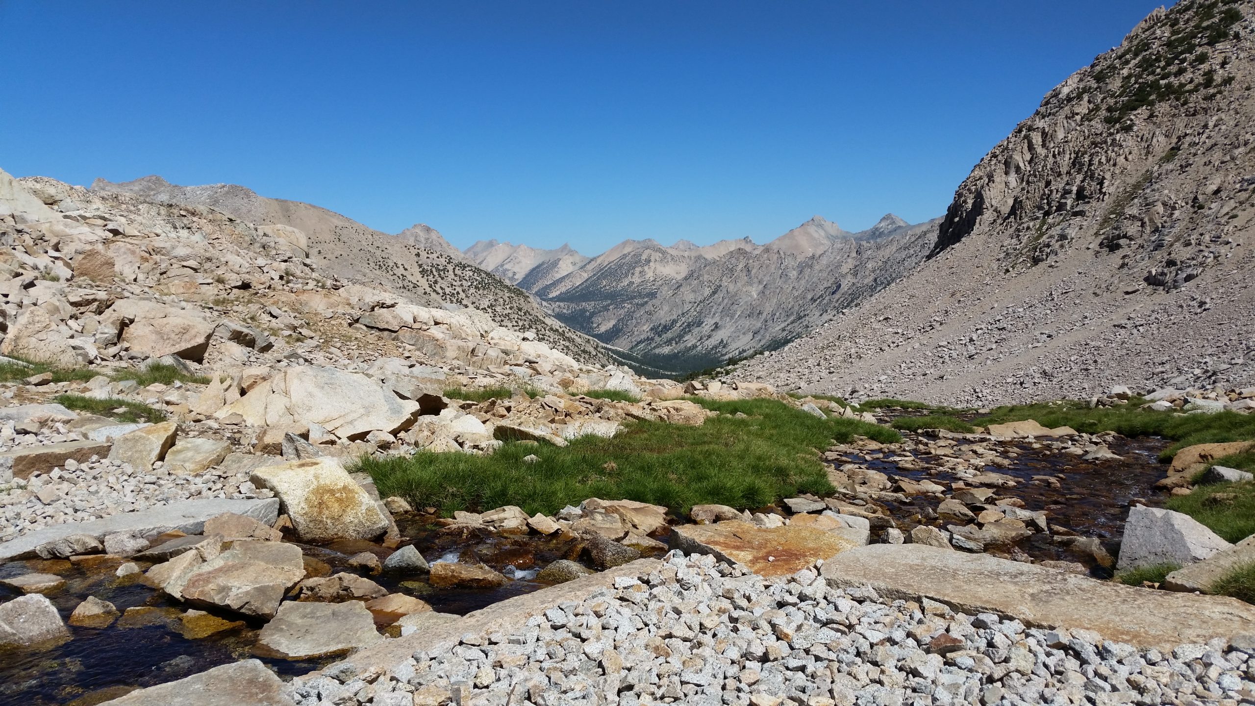
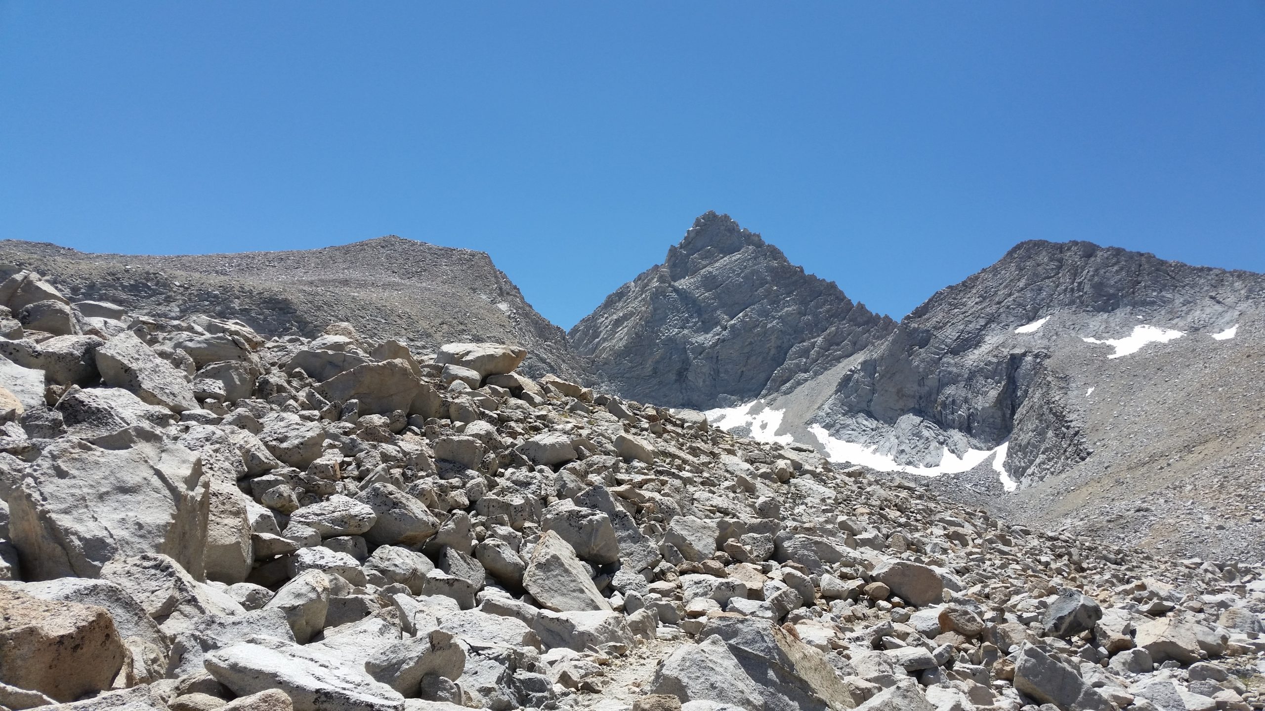
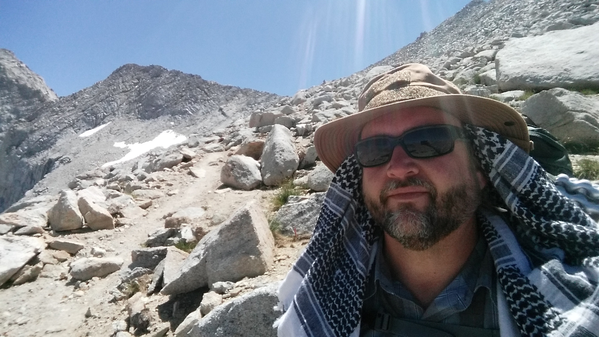
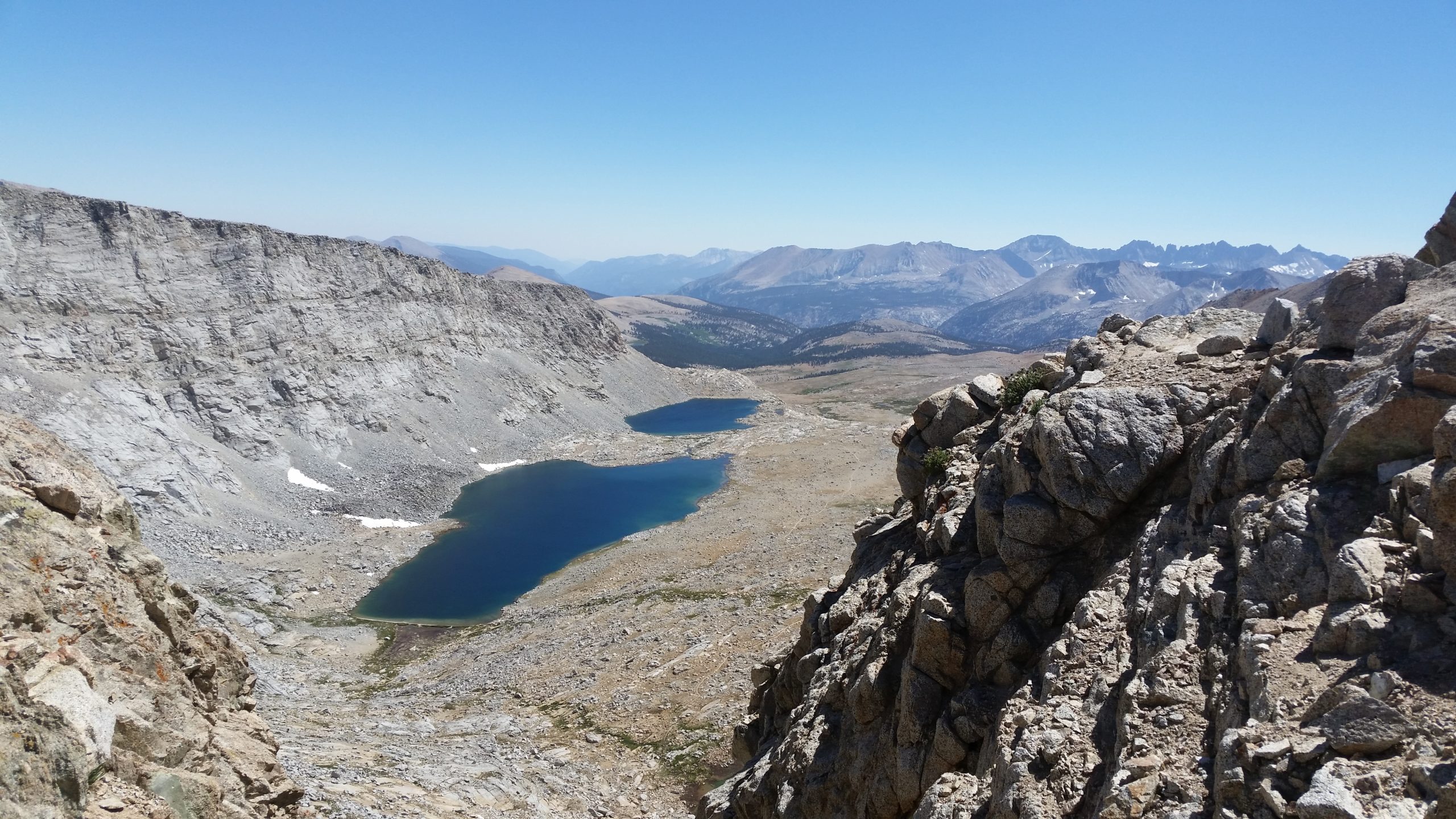
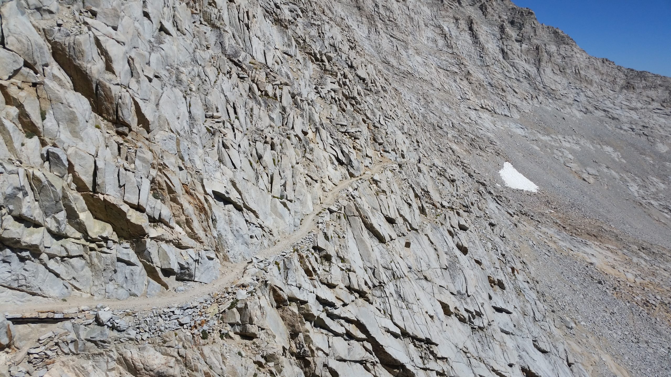
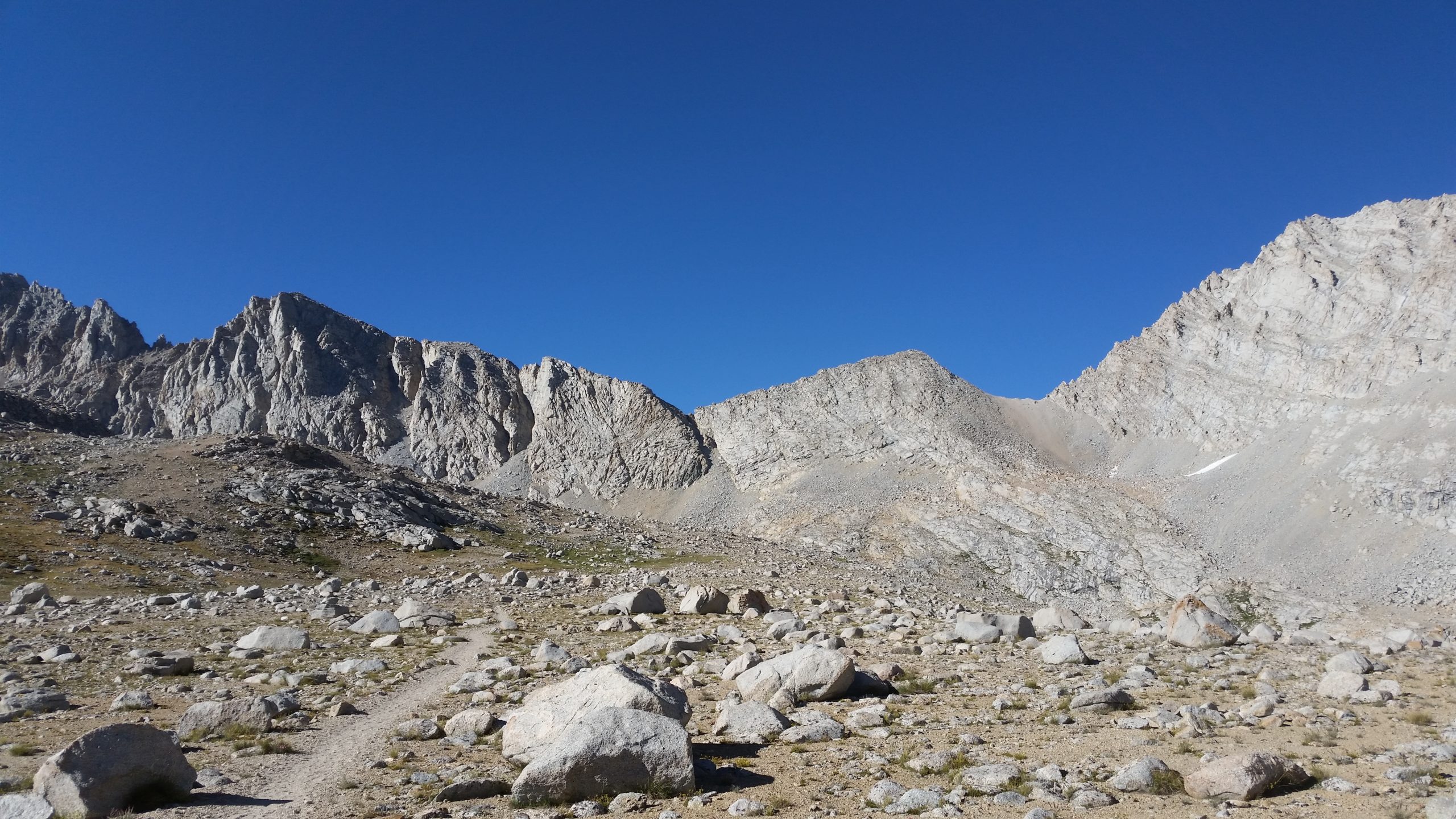
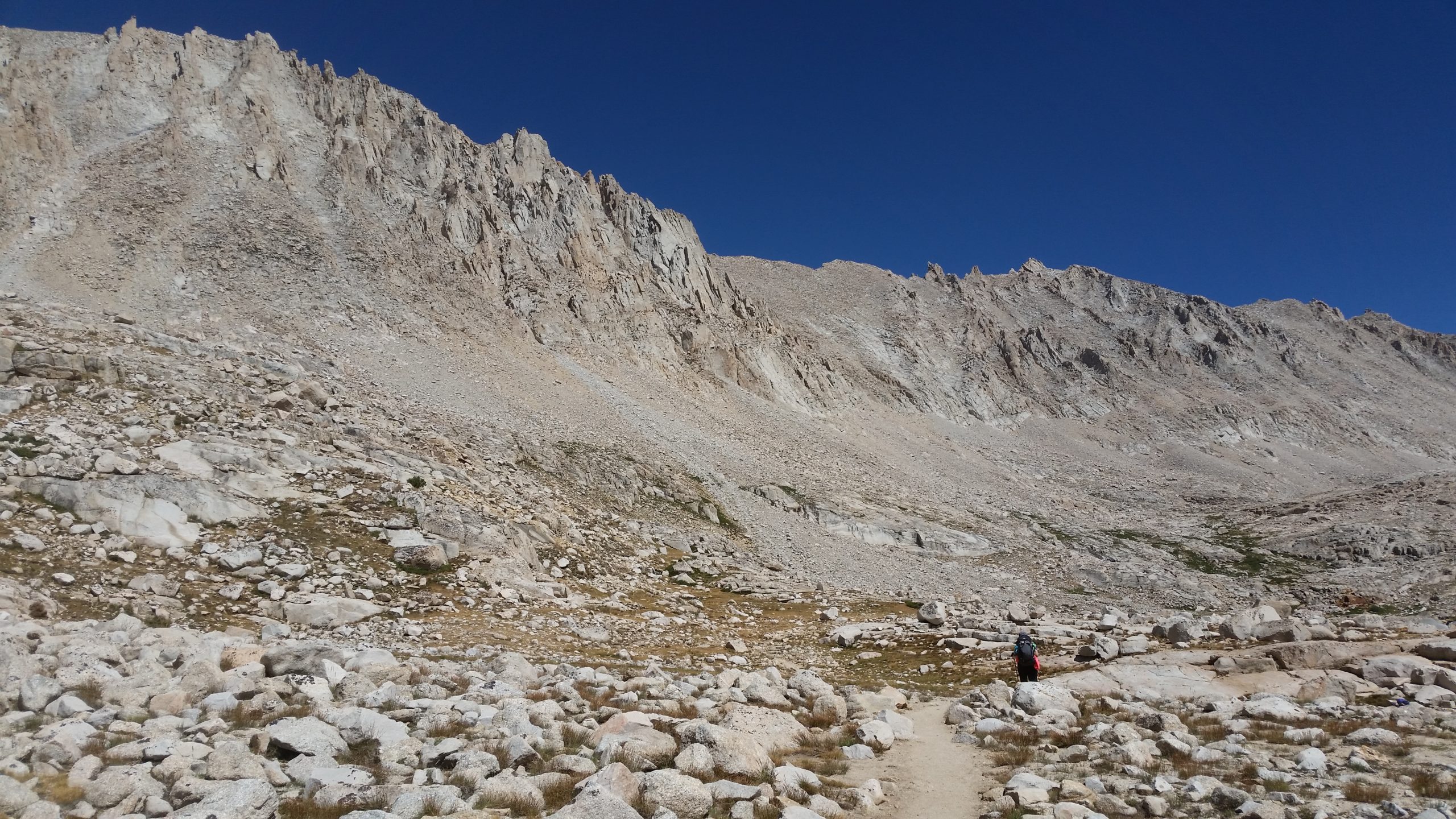
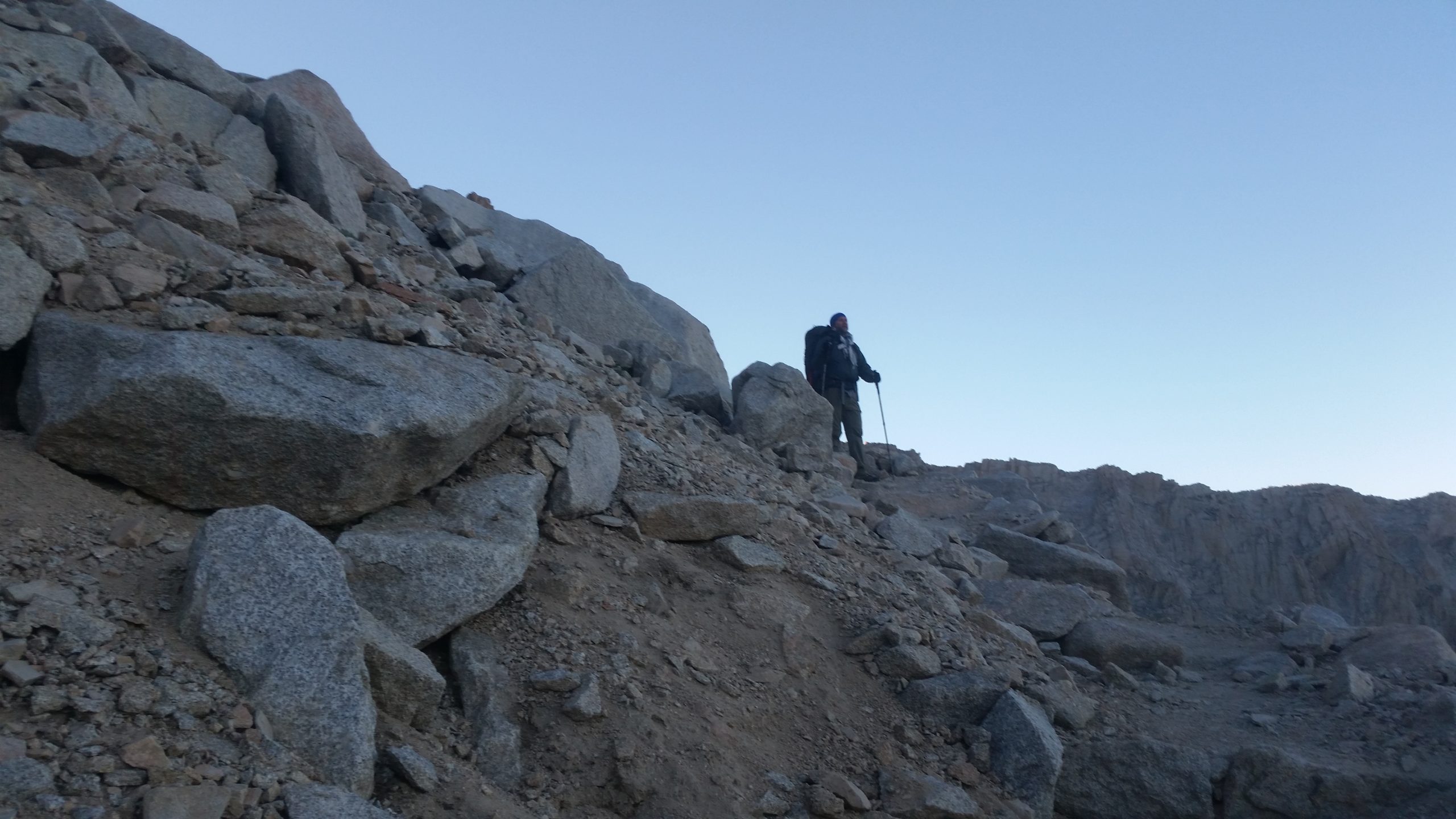
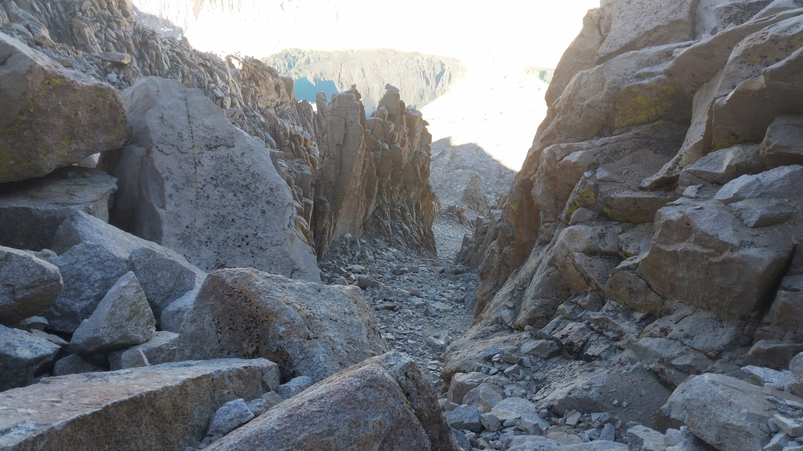
Forester Pass was a real accomplishment for both of us. It was the highest elevation that either of us had climbed to, as of that day. The last push up to the pass is invisible from below, but the switchbacks present a clear path through the talus. Once at the top, the view to the south is stunning – a long valley with 2 lakes in a barren biome, leading down to a green wooded valley. However, the first switchbacks down on the south side are not for the faint of heart and didn’t do well for my fear of heights. But, once through those well-engineered first switchbacks, the trail clears up to longer stretches between turns and becomes more stable.
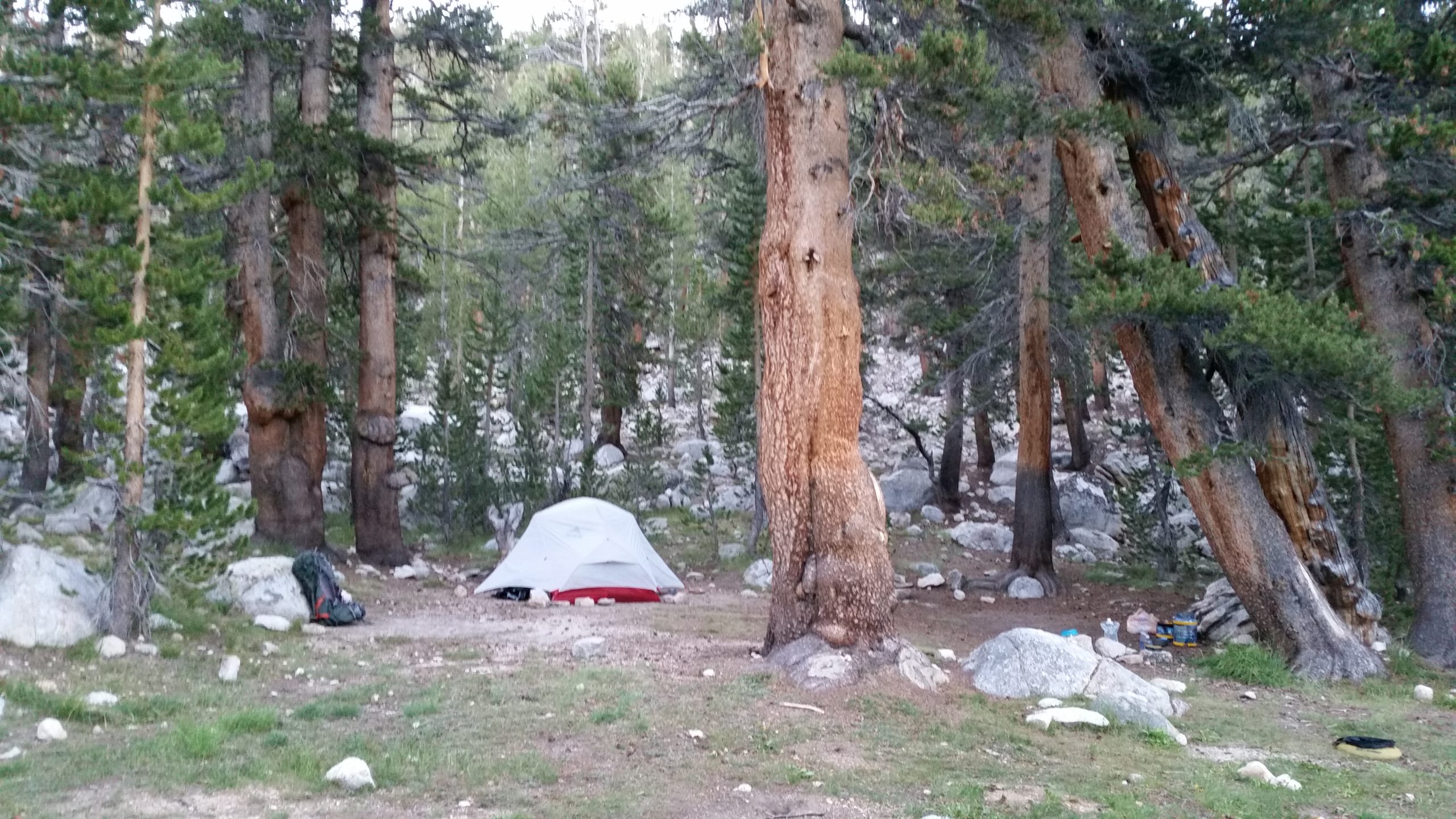
By the time we got over Forester and down to camp at Tyndall Creek by the bear box, we were delirious with fatigue. Dinner was fast and we were asleep as soon as we could inflate our sleeping pads.
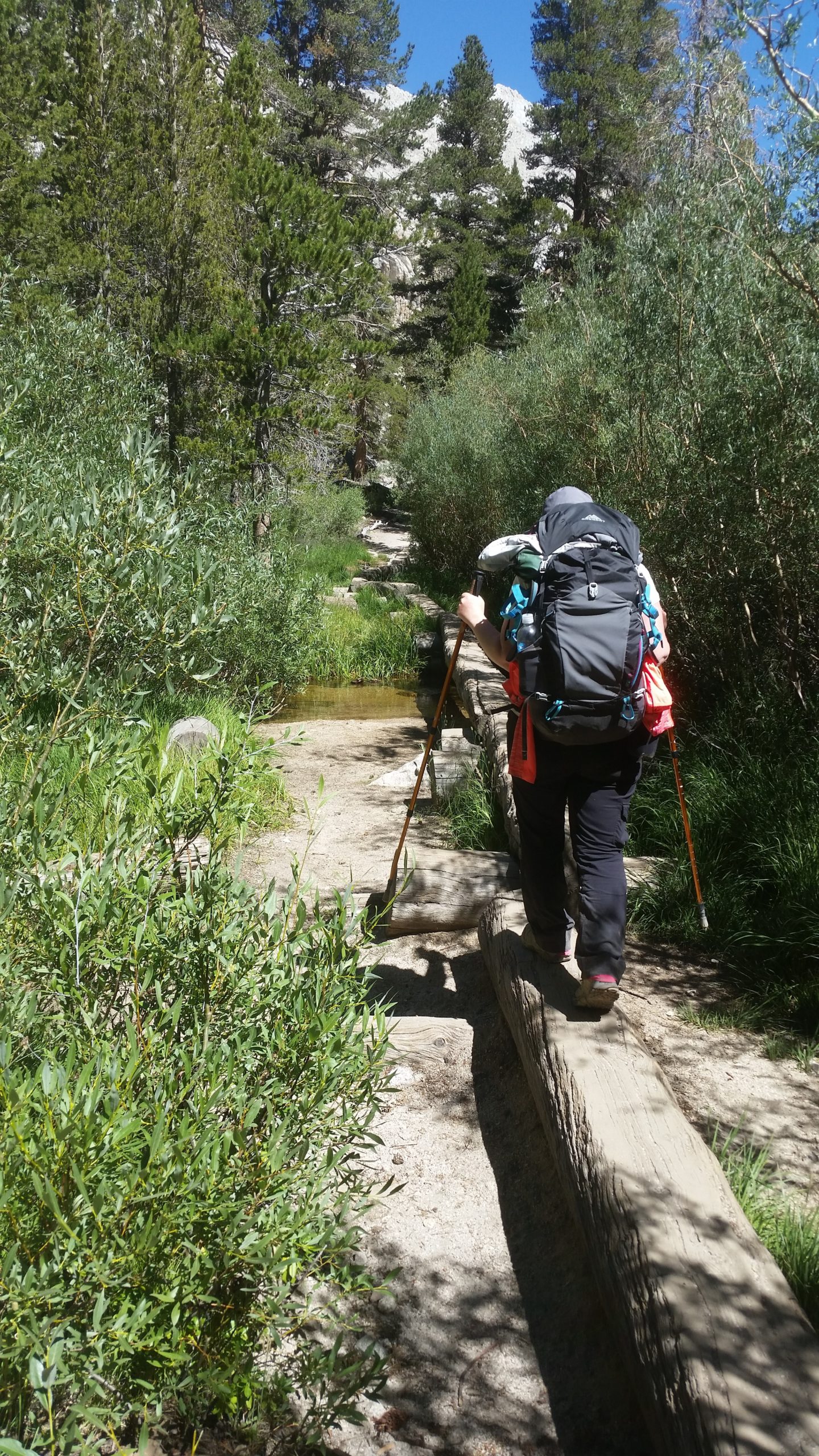
Day 3 - Tyndall Creek > Wallace Creek
Distance: 4.8 miles
Having anticipated that ascending Forester Pass was going to be a difficult day, our plan on day 3 was to only like for a few easy miles and set up camp early and have a recovery day. It’s a good thing we had that figured into the agenda, because it was an essential rest. Channan’s breathing was poor and her water retention was concerning.
We press on, taking it at an easy pace so as to not aggravate Channan’s condition any further. She’s struggling to take more than a few steps at a time between the need for rest. She’s also feeling very constricted by the pack and its sternum strap, and has to stop occasionally and remove the pack because of the feeling of suffocation. I’m very concerned, knowing that we are deep into the trail enough that we either turn around and have 2 passes to go back over, or we push on and go over Mt Whitney and exit the higher altitude that way. I’m getting nervous that either exit is going to be too much for her to handle.
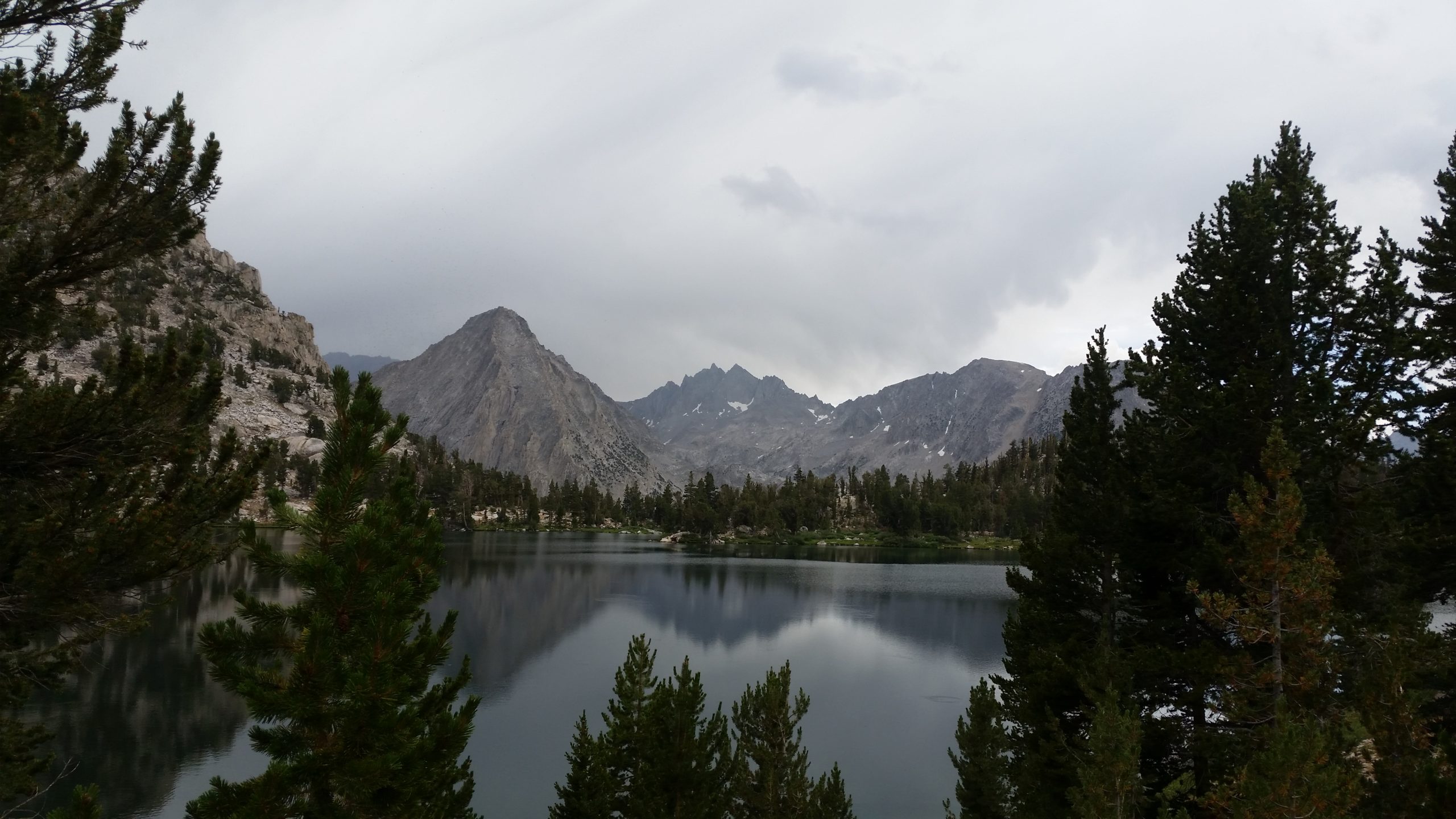
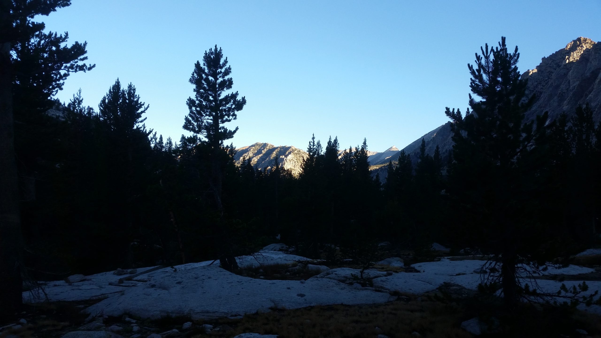
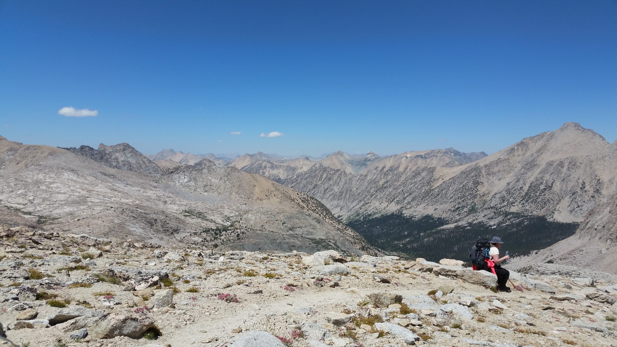
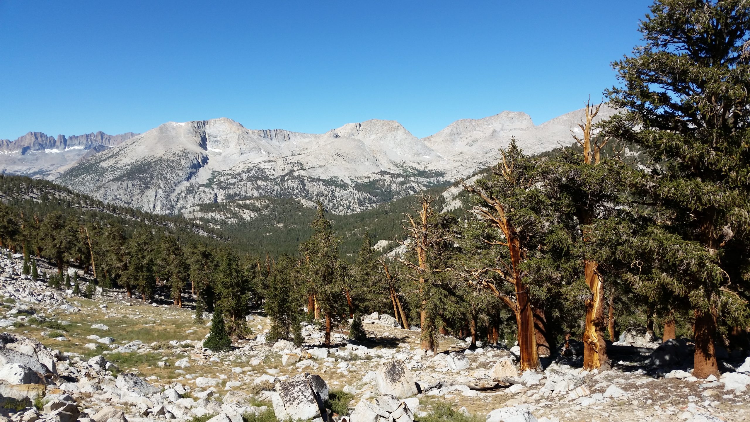
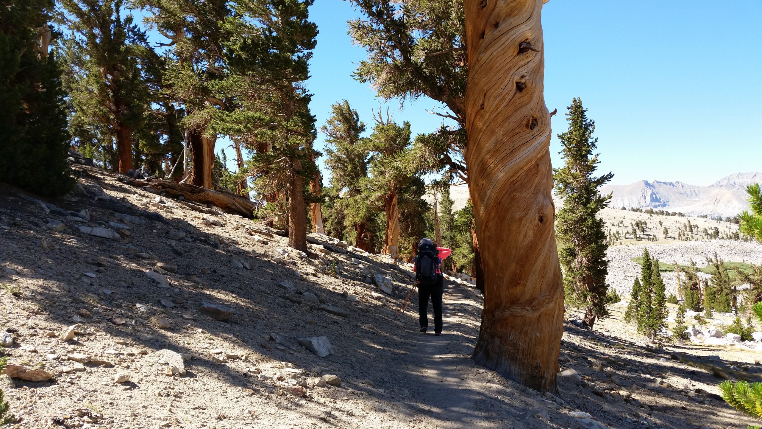
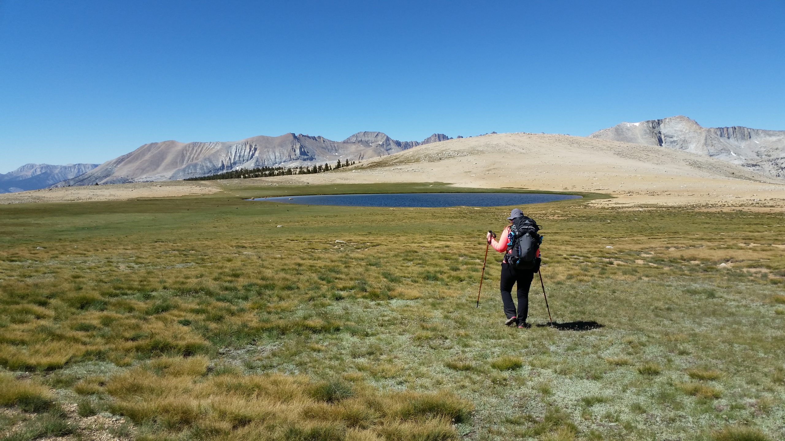
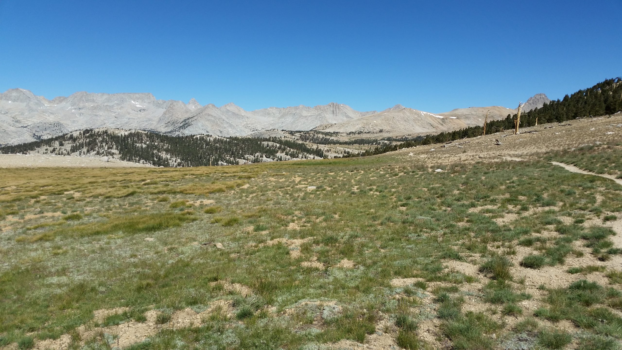
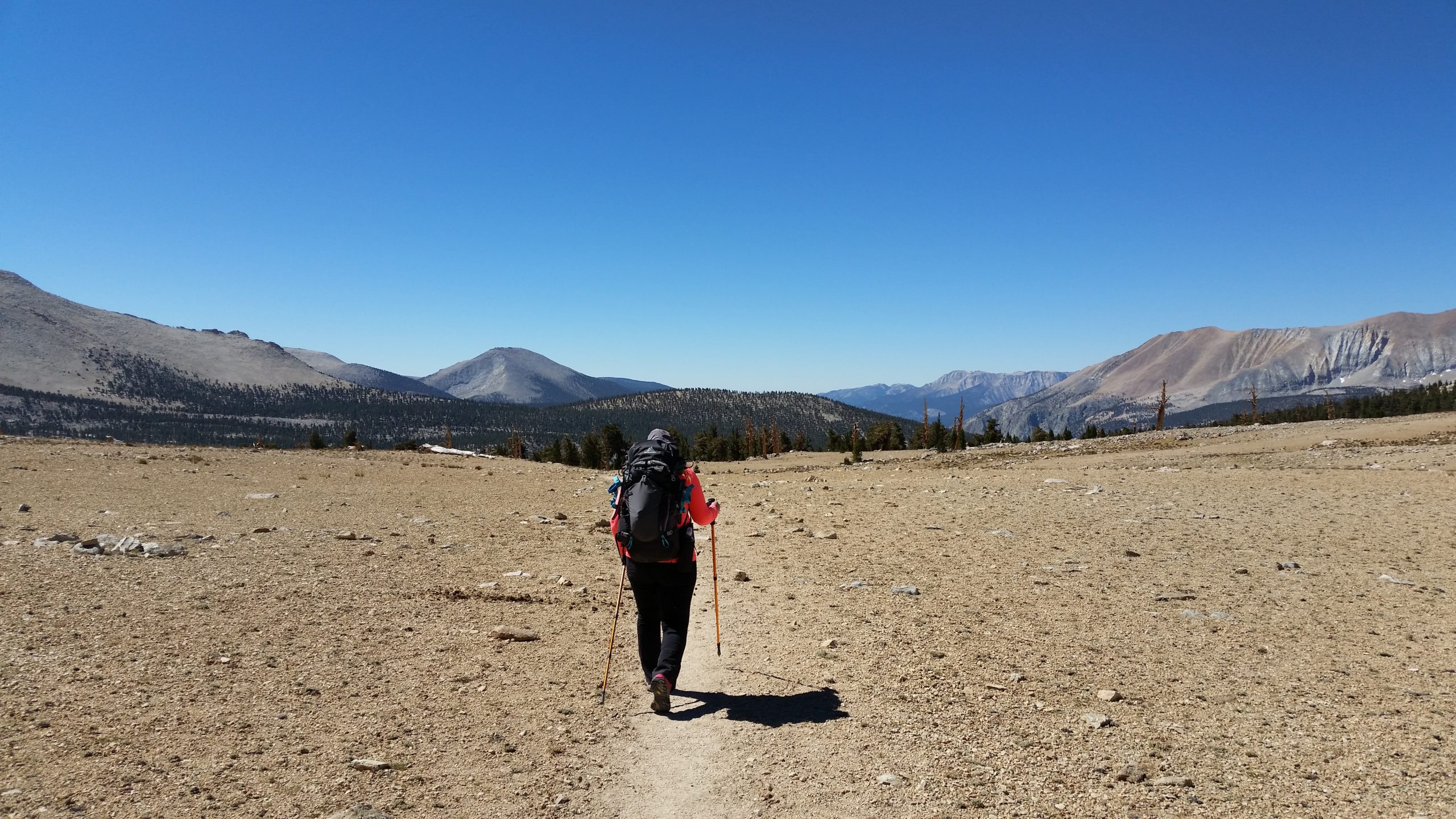
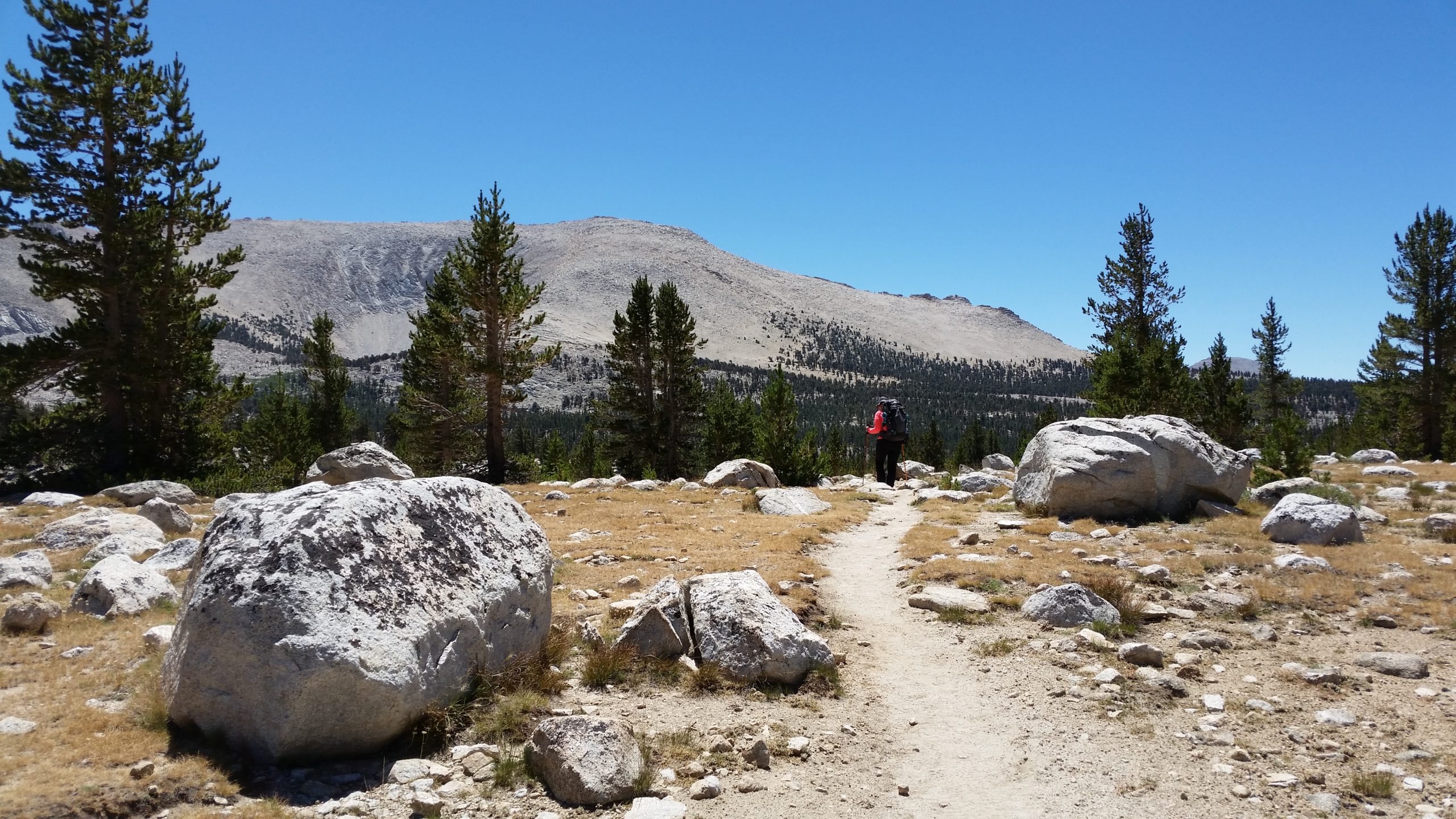
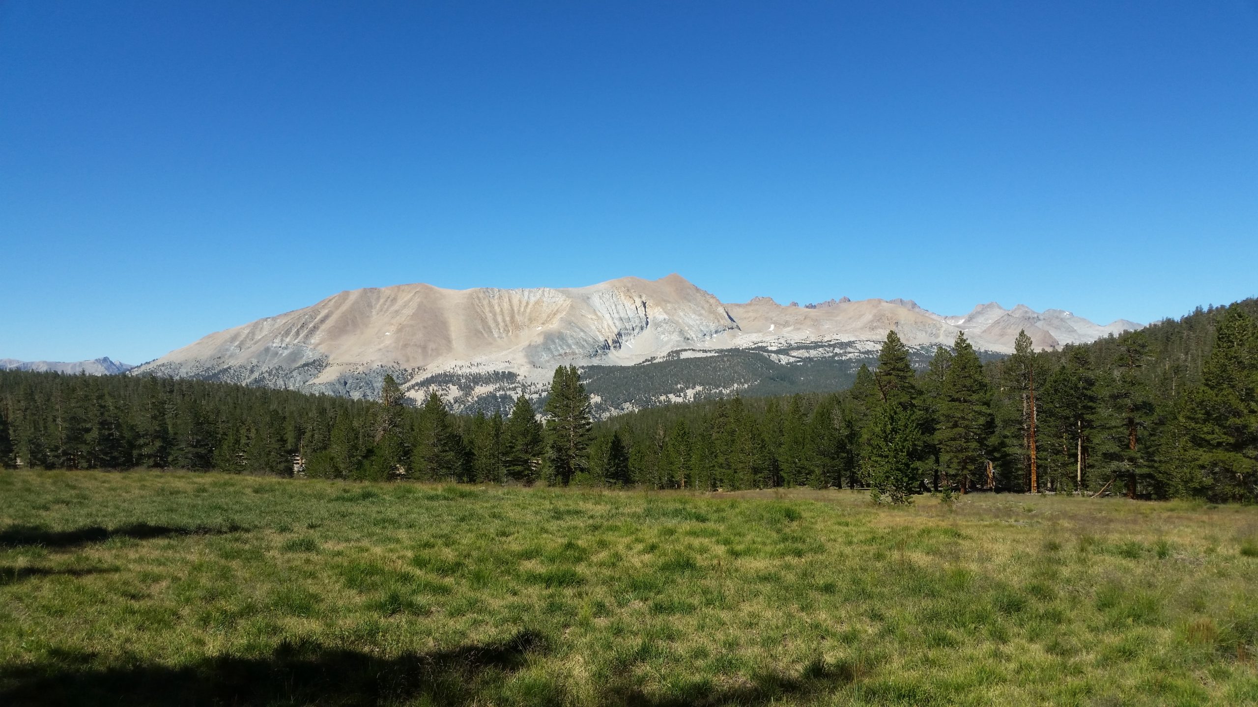
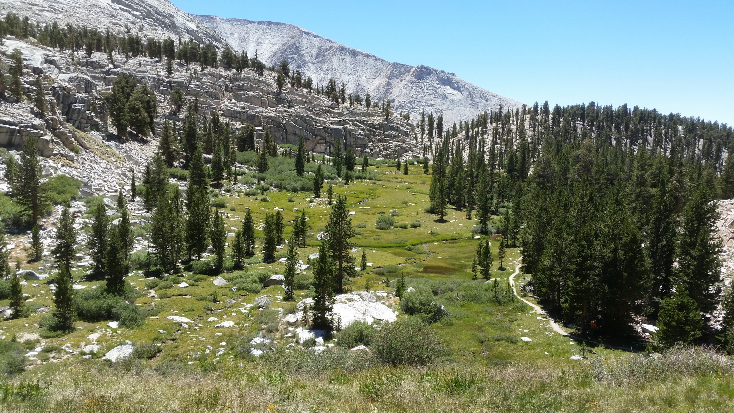
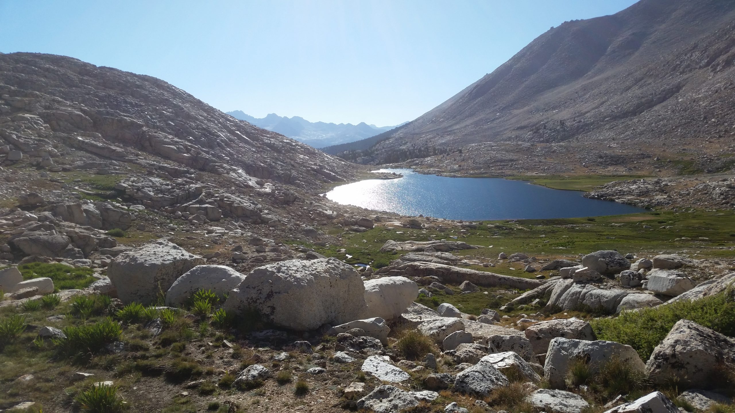
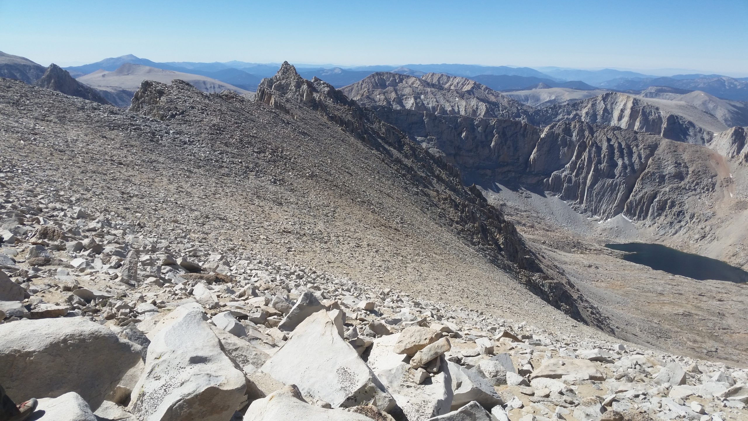
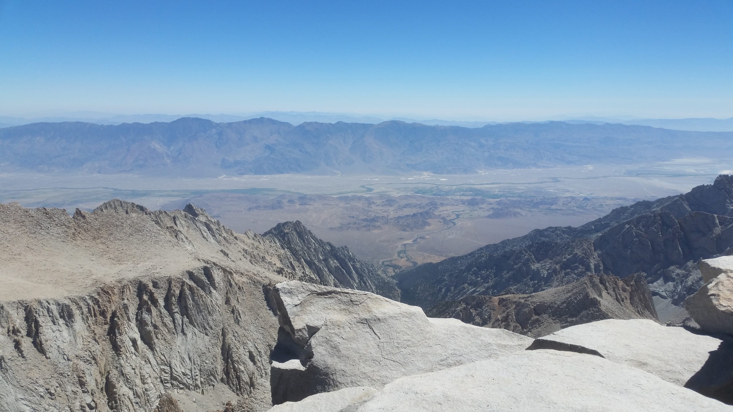
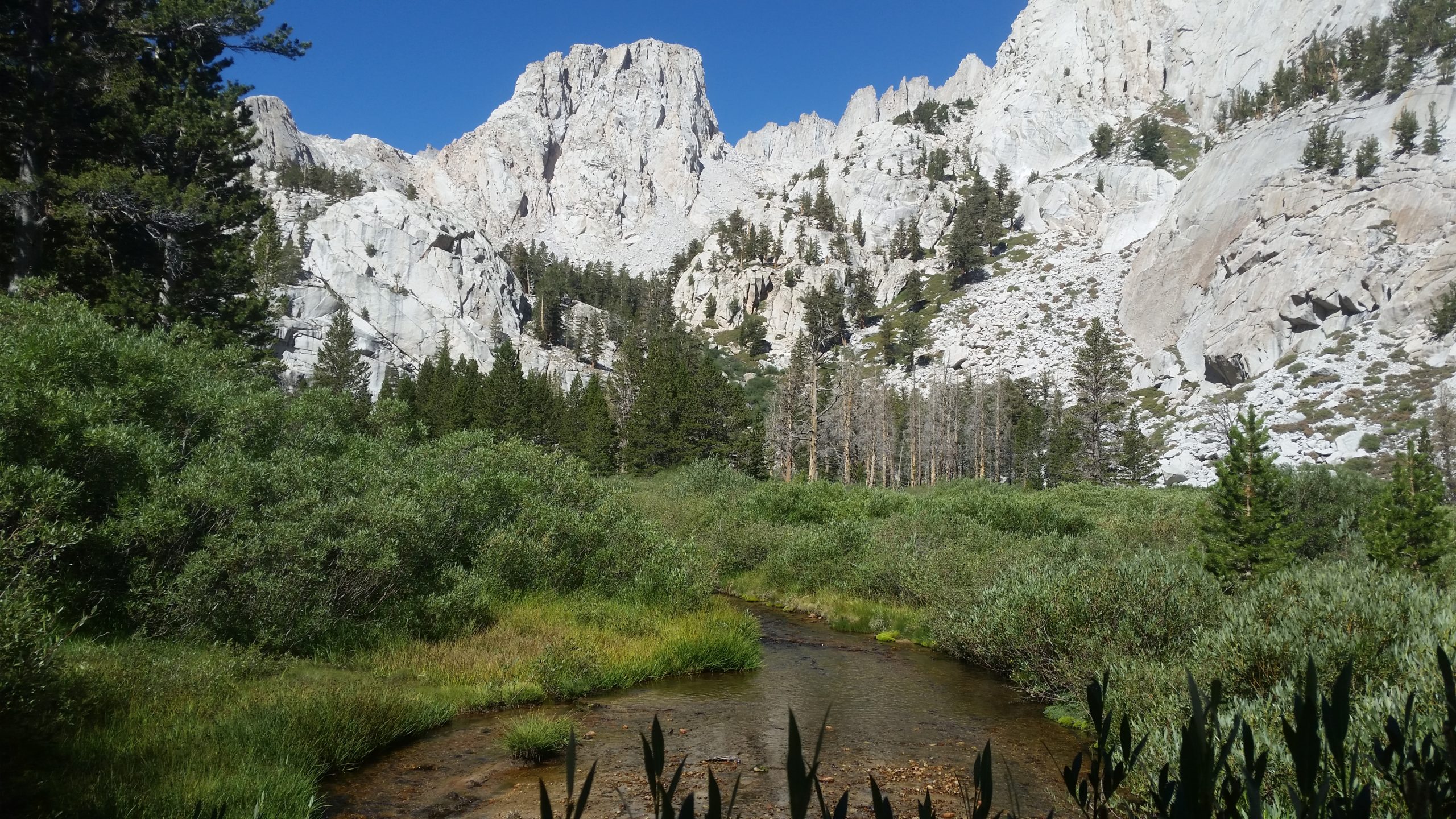
The notable highlight of the trail comes at our crossing up and over the gradually-sloping Bighorn Plateau. This scenic open expanse gives way to views in all directions. It’s open and basically an arid grass hill that is very exposed. It’s a warm day, but the breeze feels good and it’s a change of pace from having our views be mostly blocked by stands of trees. We are also welcomed with a full view of the northern profile of Mt. Whitney off in the distance, which adds perspective not only to how far we have already traveled, but how close we now feel to it. After the plateau, we descent nicely into the Wallace Creek area and are pleased to see that the water is running nicely and we can camp nearby.
After we set up camp and were resting in the shade, a group of hikers had come along and camped near us on the south side of Wallace Creek on the edge of the meadow. Feeling social, I strolled over to say hi to them and ask how their adventure was going. In our casual conversation, I mentioned Channan’s breathing issues and one of the hikers proceeds to pull out of large ziploc bag of well over a dozen medications. He announces that he is a nurse and quickly confirms that she is symptomatic of advancing pulmonary edema that needs immediate attention. He hands over a couple doses of a steroid medication and gives us dosing instructions for the next couple days.
Channan takes the first dose of the steroid that afternoon, and we go to sleep that night with hopes of improvement the next day.
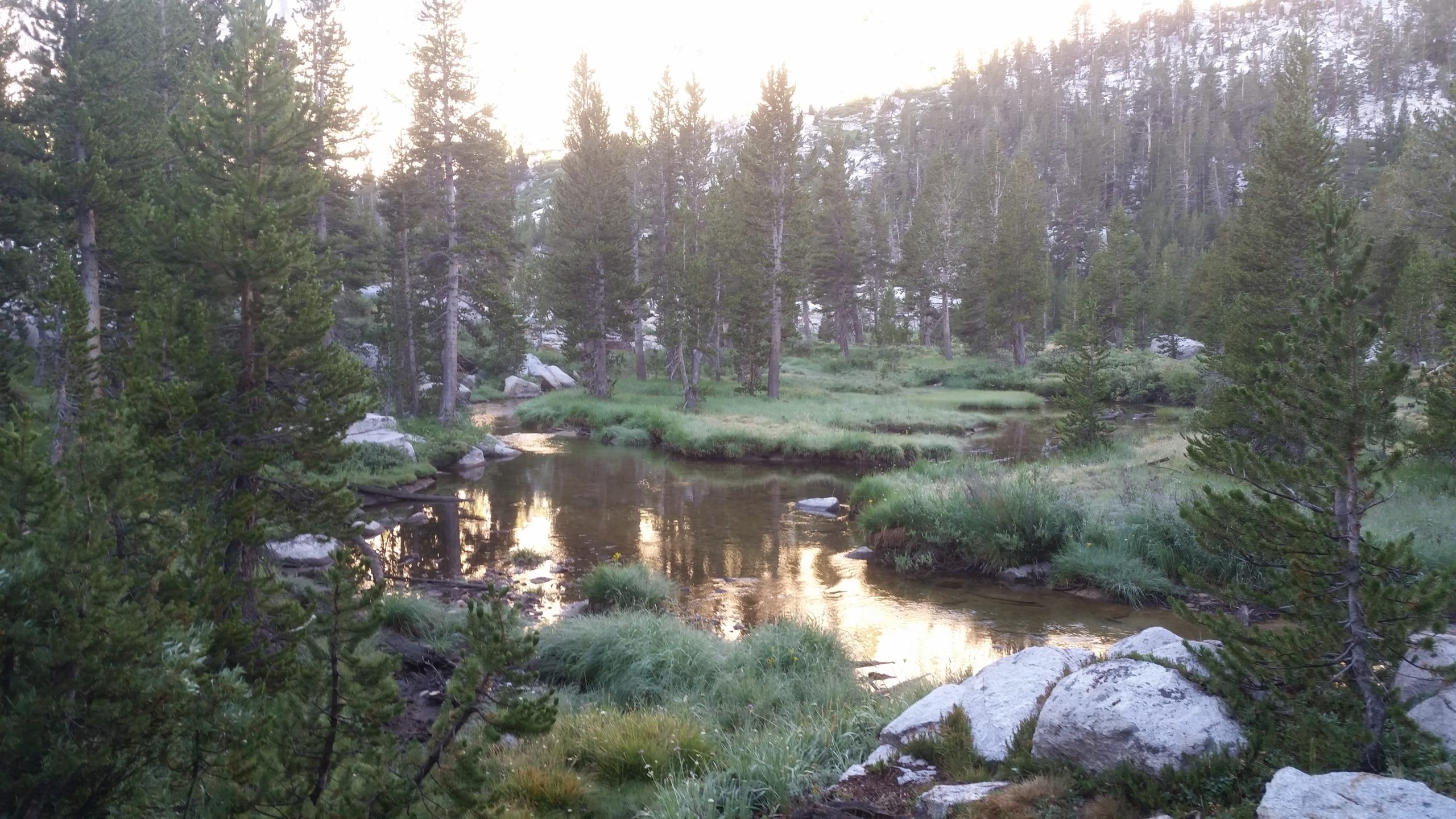
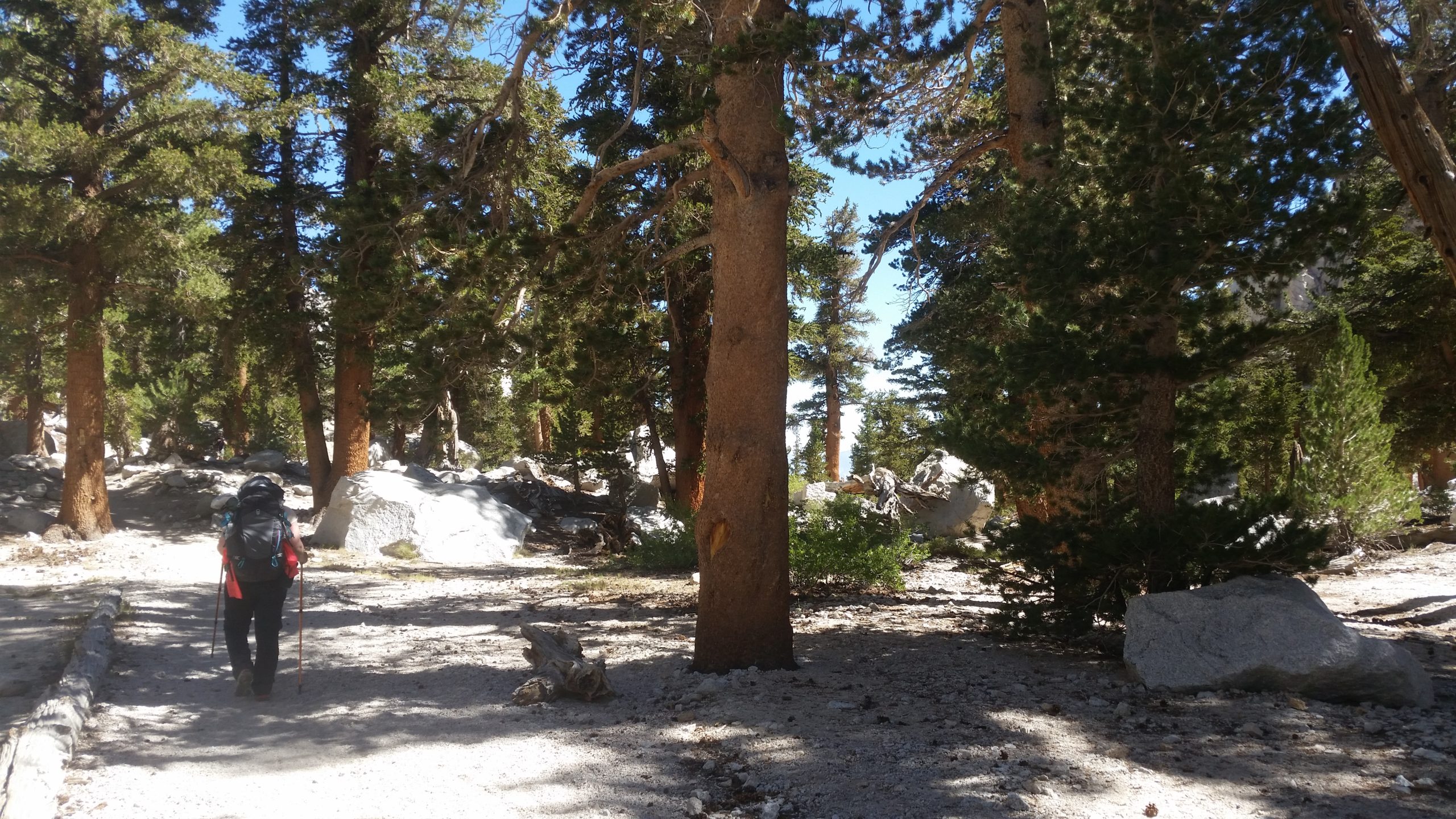
Day 4 - Wallace Creek > Guitar Lake
Distance: 8.2 miles
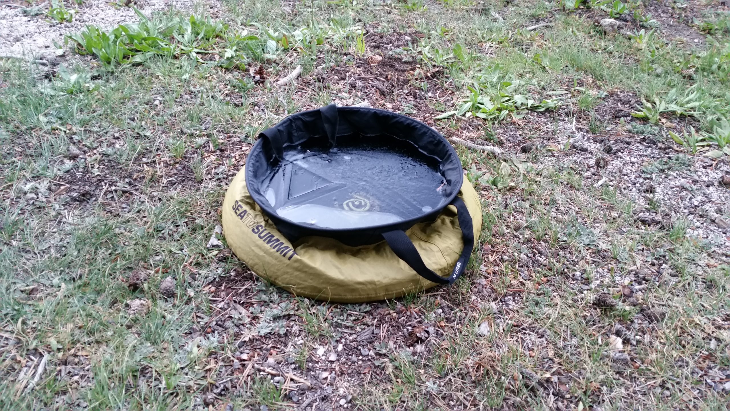
The previous night was a cold one. We ended up being camped in a cold sink, so the meadow area not only had moisture but was also right in a low spot in the valley and cold air poured into it overnight. I emerged out of the tent and noticed that our wash sink was frozen over. Luckily we have been keeping our Sawyer filters in the tent with us so they won’t freeze and become damaged and useless.
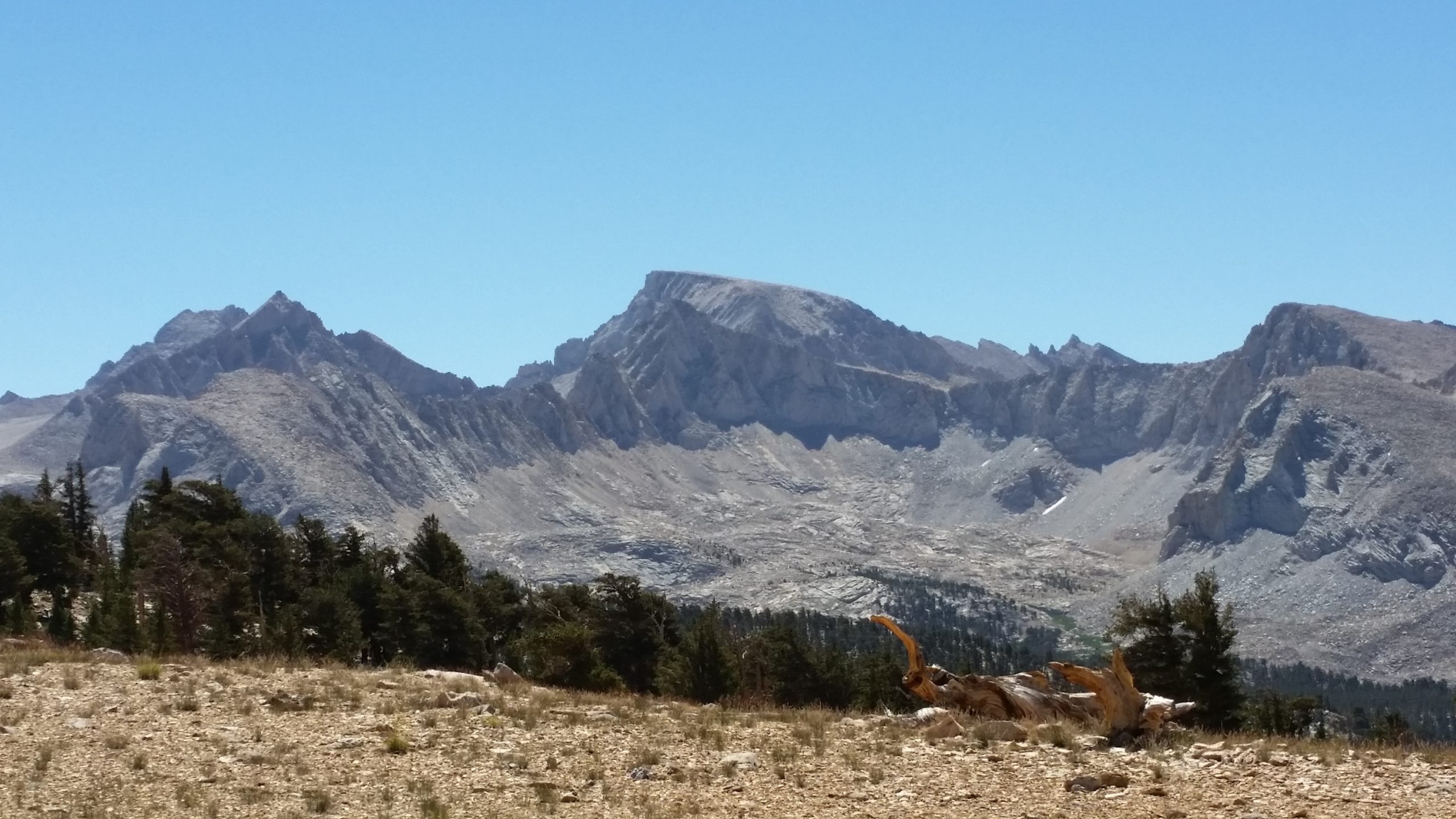
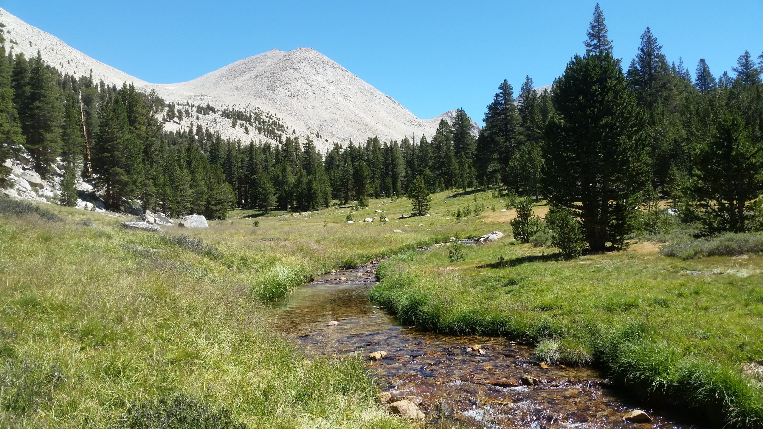
We get moving pretty early again, and today’s plan is moderate mileage but is going to put us up at Guitar Lake to be staged for our next-day ascent of Mt. Whitney. Guitar Lake is at just over 11,000′ elevation, and will be our highest campsite of the trip thus far. Our ongoing agenda has been to hike high and camp low to minimize altitude issues, and with Channan’s breathing, tonight’s campsite plan has me concerned.
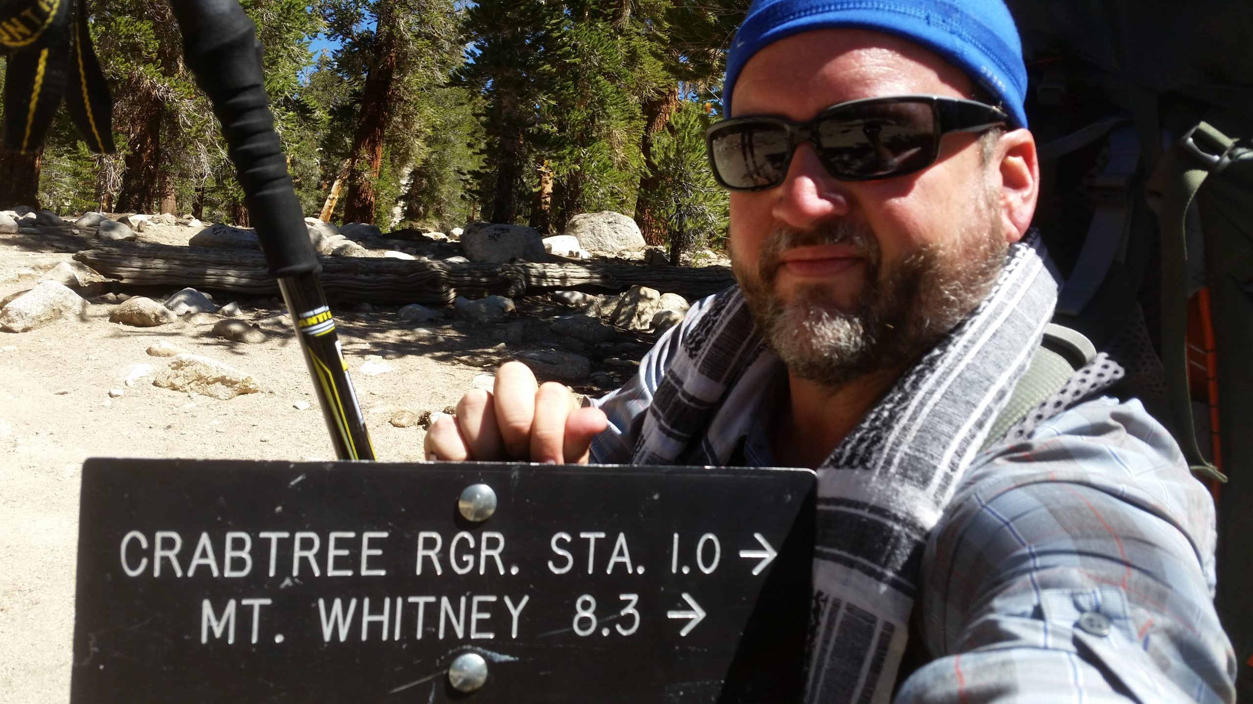
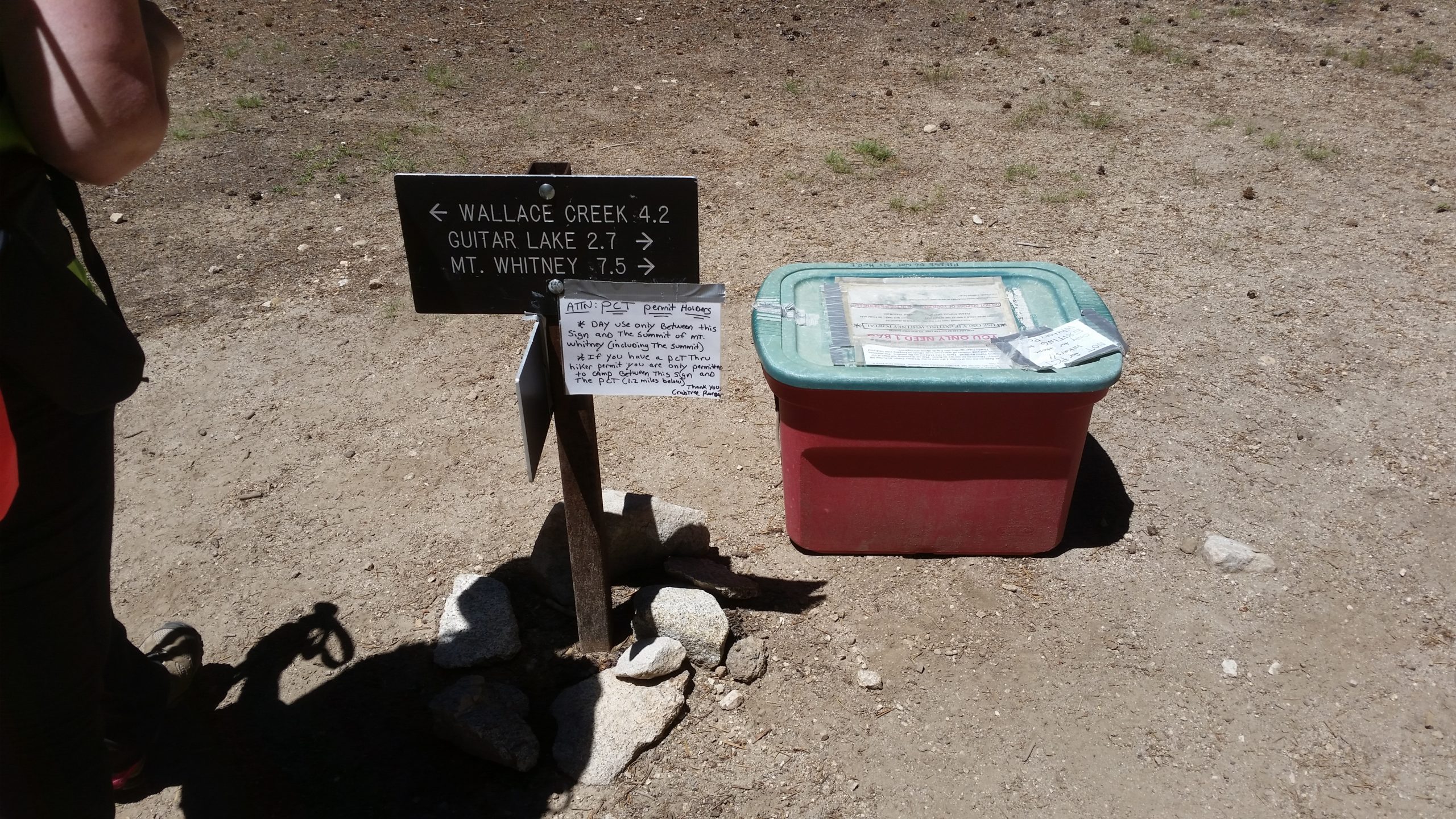
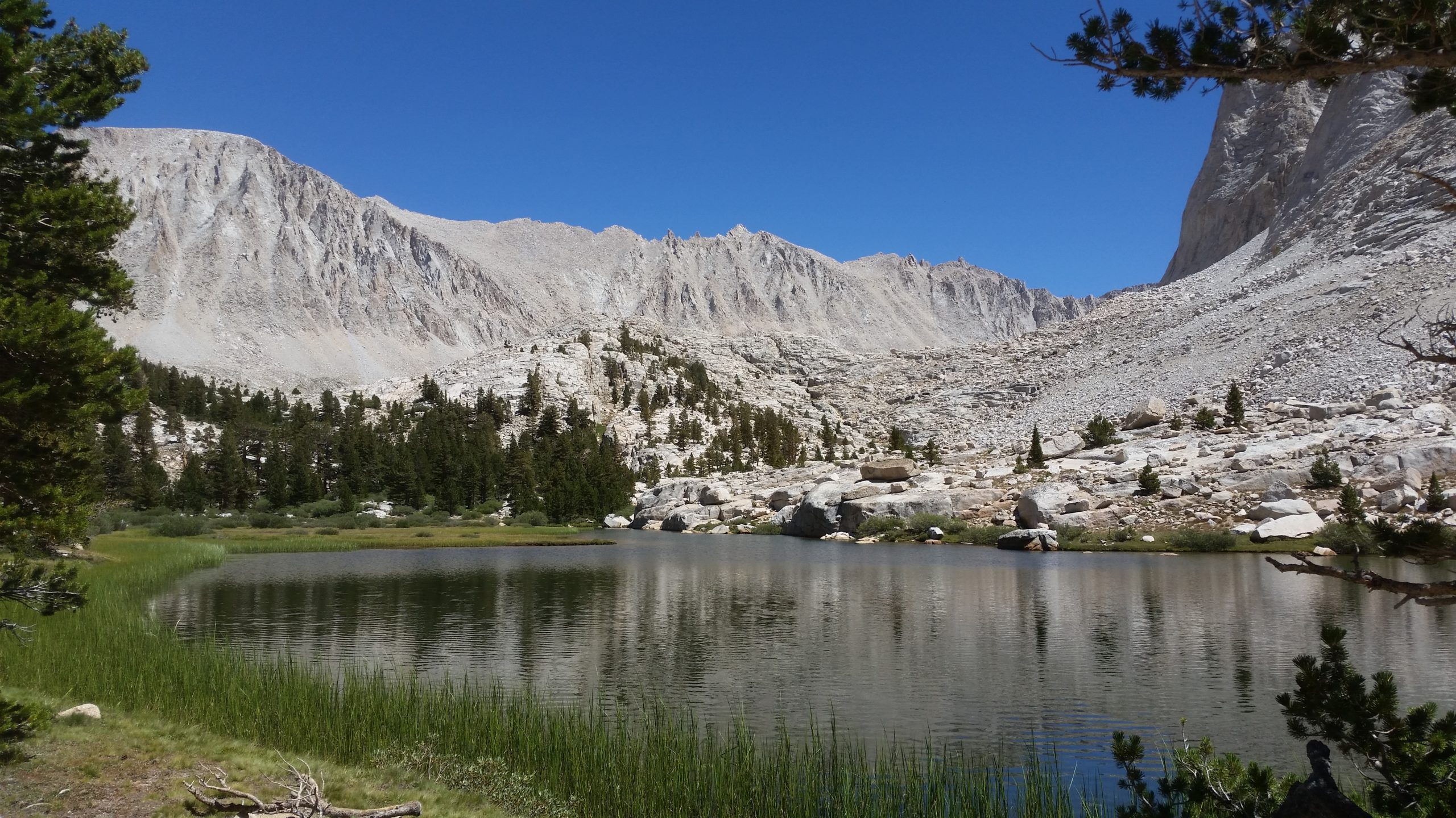
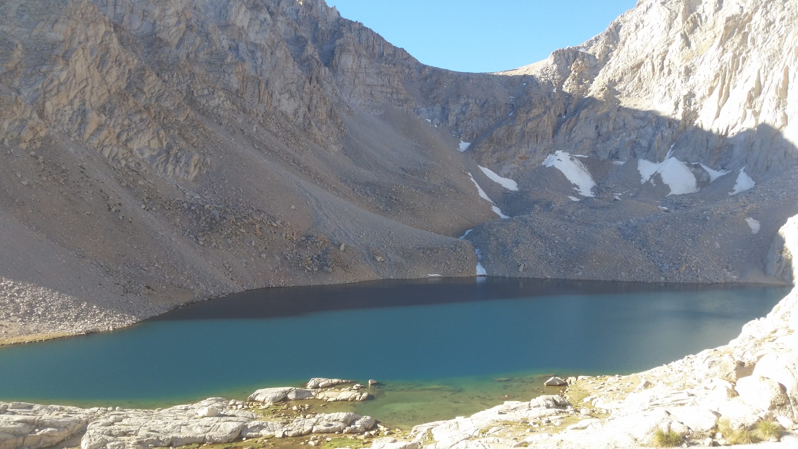
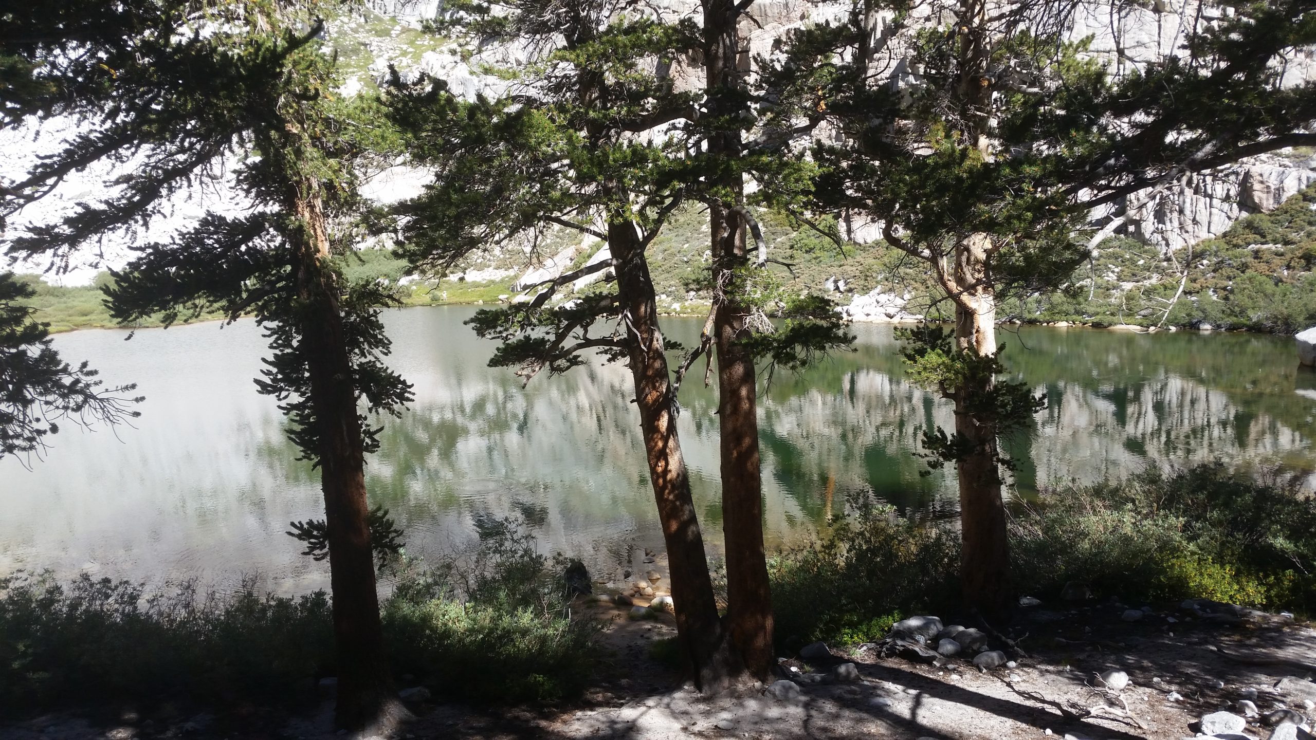
We get hiking and Channan is still struggling with breathing but there is a sign of improvement. We make our miles and enjoy the day at a pace that’s comfortable for her, and before we know it, we are past the Crabtree Meadow junction and heading east towards the foothills of Mt. Whitney. The meadow area by the ranger cabin is beautiful and green, with waters full of trout in crystal-clear waters. We pass a couple of lakes on the ascent and eventually reach Guitar Lake.
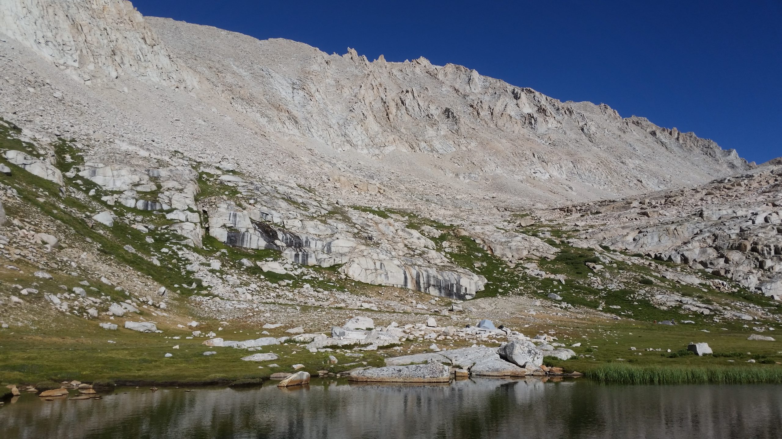
Guitar lake is honestly a disappointment. It smells like a dirty bathroom and is an obvious staging point for many other backpackers. There were already tents set up all over, so we decide to press on to a tarn that is situated just a short way above Guitar Lake. Anything has to be better than camping next to the crowds and dealing with lack of privacy, that odor, and the potential of contaminated water.
Staying on trail and climbing a couple hundred feet in elevation, there actually was a tarn up there. We almost had the entire area to ourselves except for a couple other distant tents on the other side of the water. We found a good piece of durable ground and set up camp and spent the afternoon doing some chores and filtering a supply of water for the night and the first part of the next day.
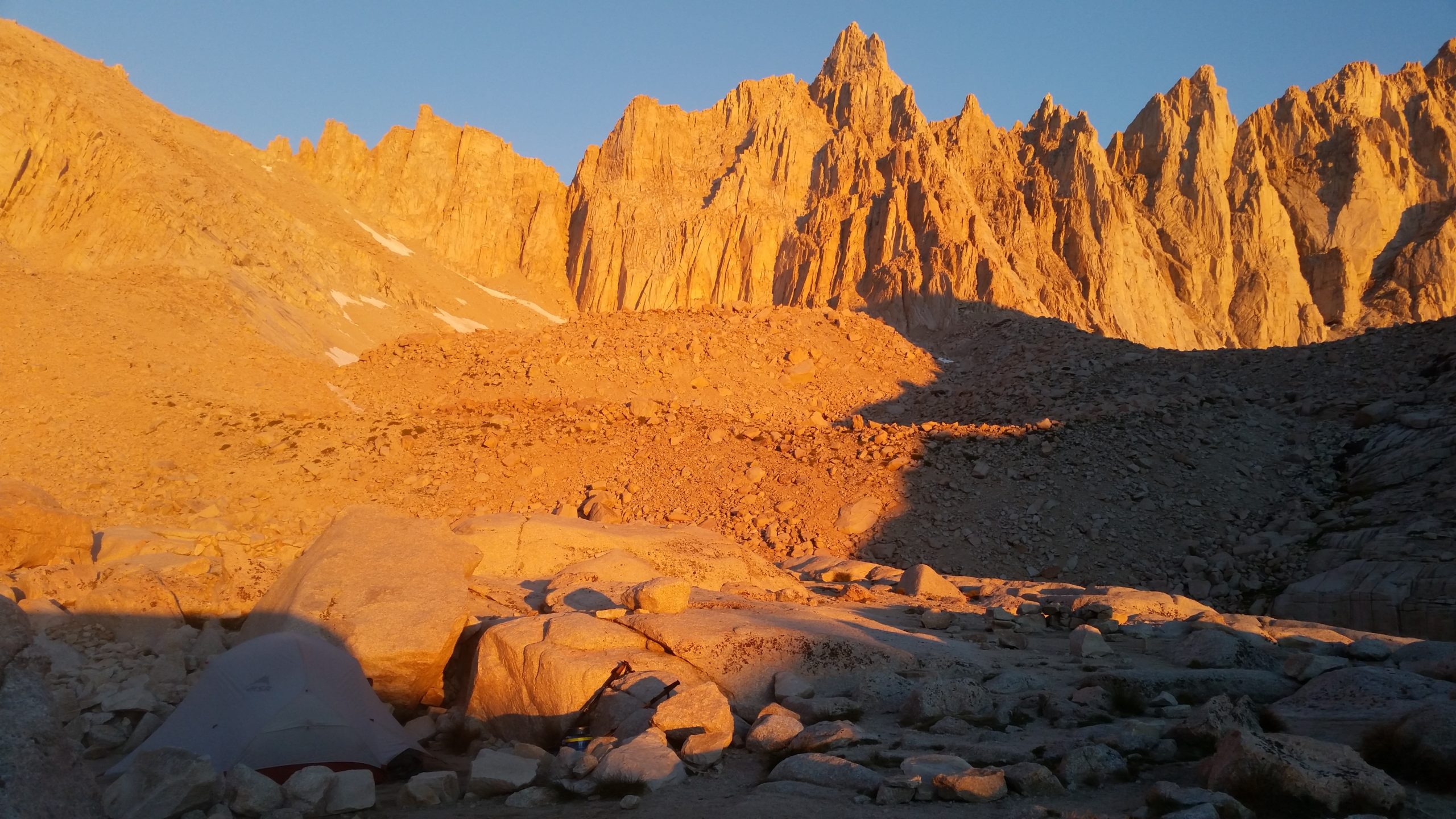
Channan’s breathing was almost completely back to normal by this point. Her spirits were even higher than mine, and she showed true happiness that evening as though she had real relief. She took her last dose of medication, and we set our alarm for 2:30 to get an early start on our Mt. Whitney summit attempt the next morning.
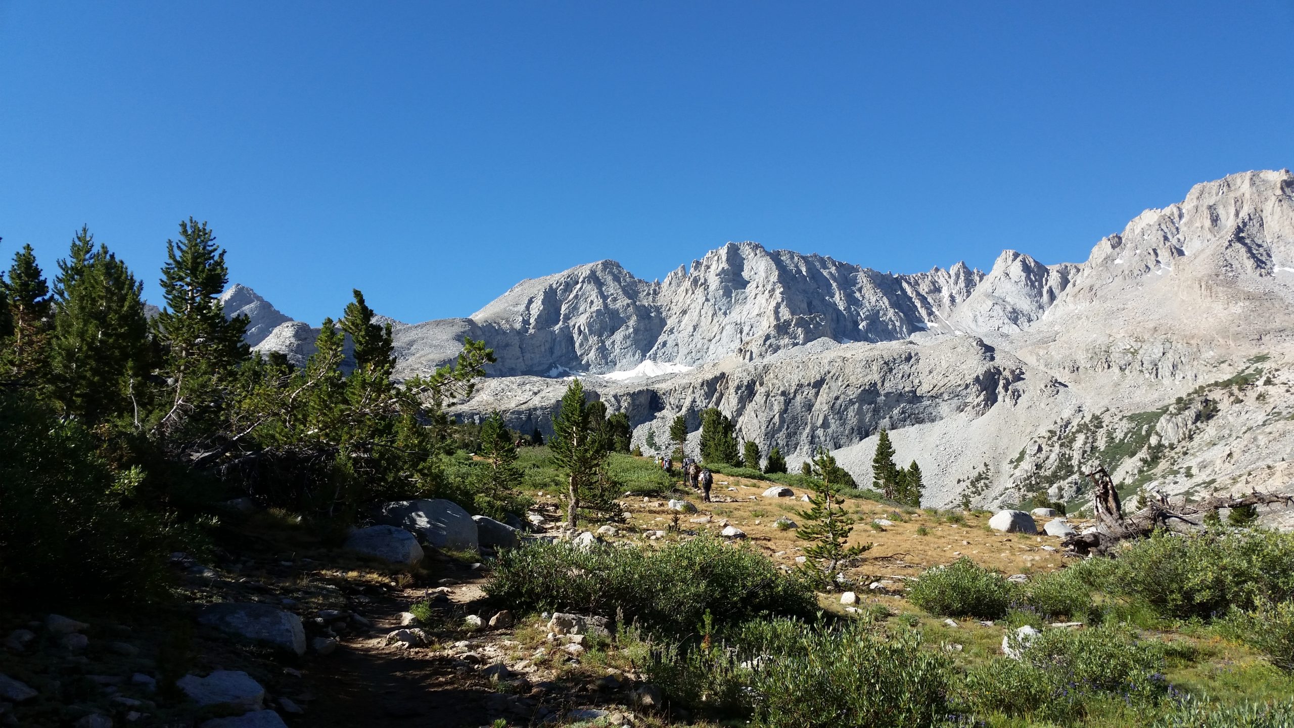
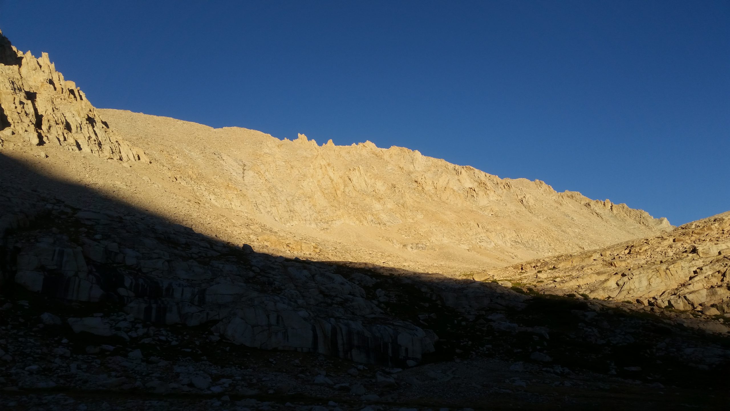
Day 5 - Guitar Lake > Mt Whitney Summit > Trail Camp
Distance: 8.3 miles
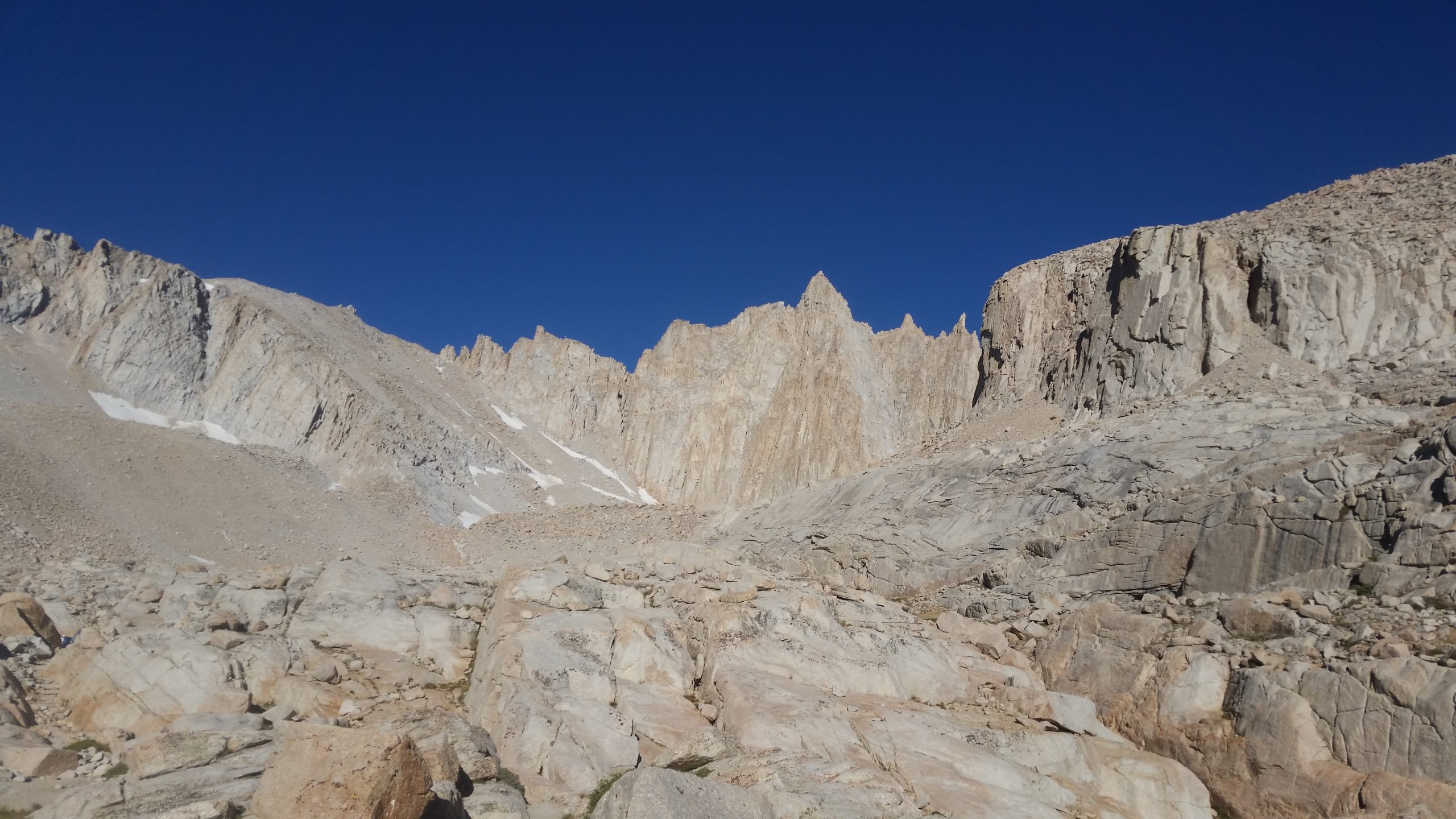
The ascent from Guitar Lake up and over Mt Whitney and down to Trail Camp. We exit the trail tomorrow.
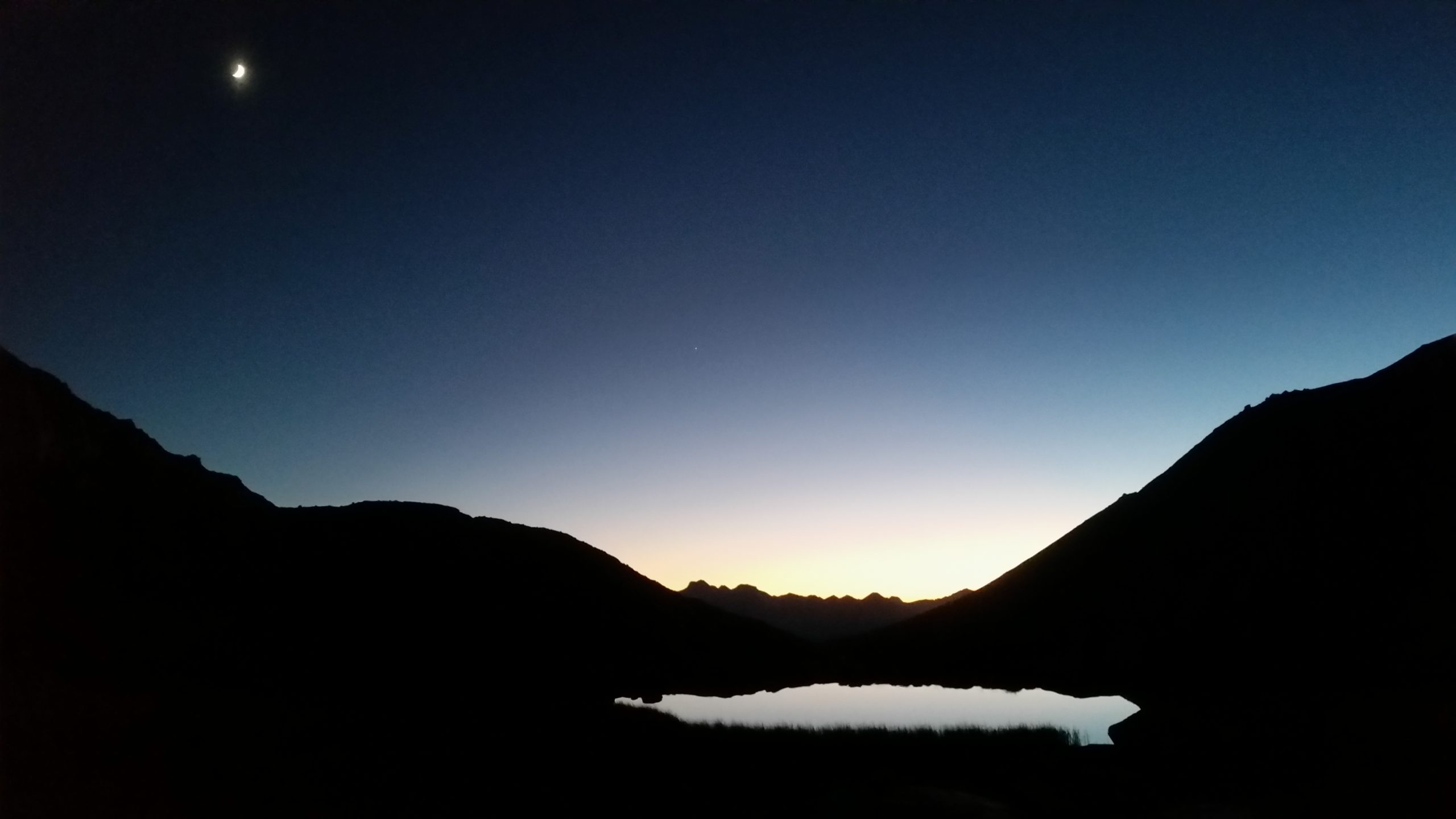
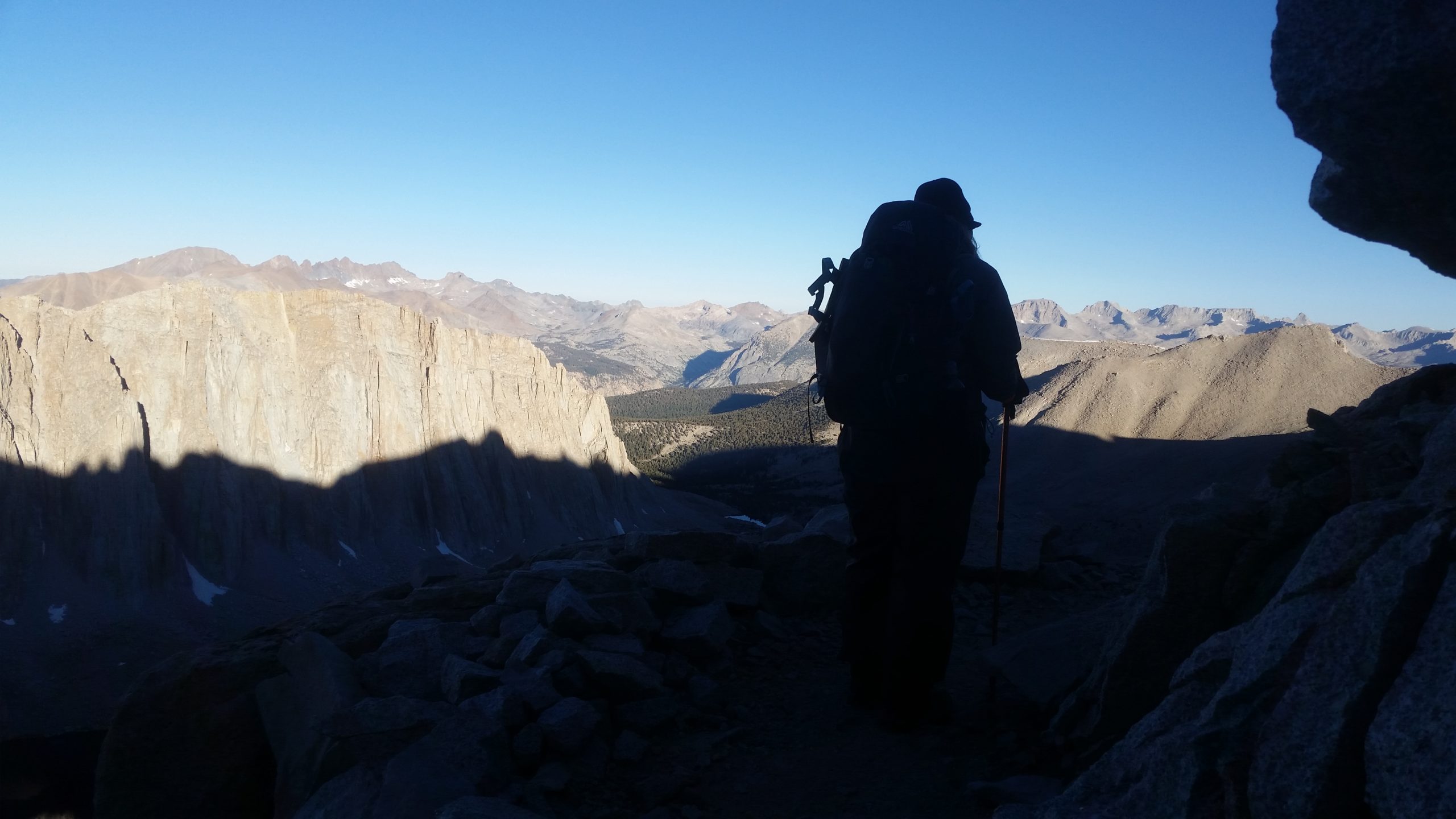
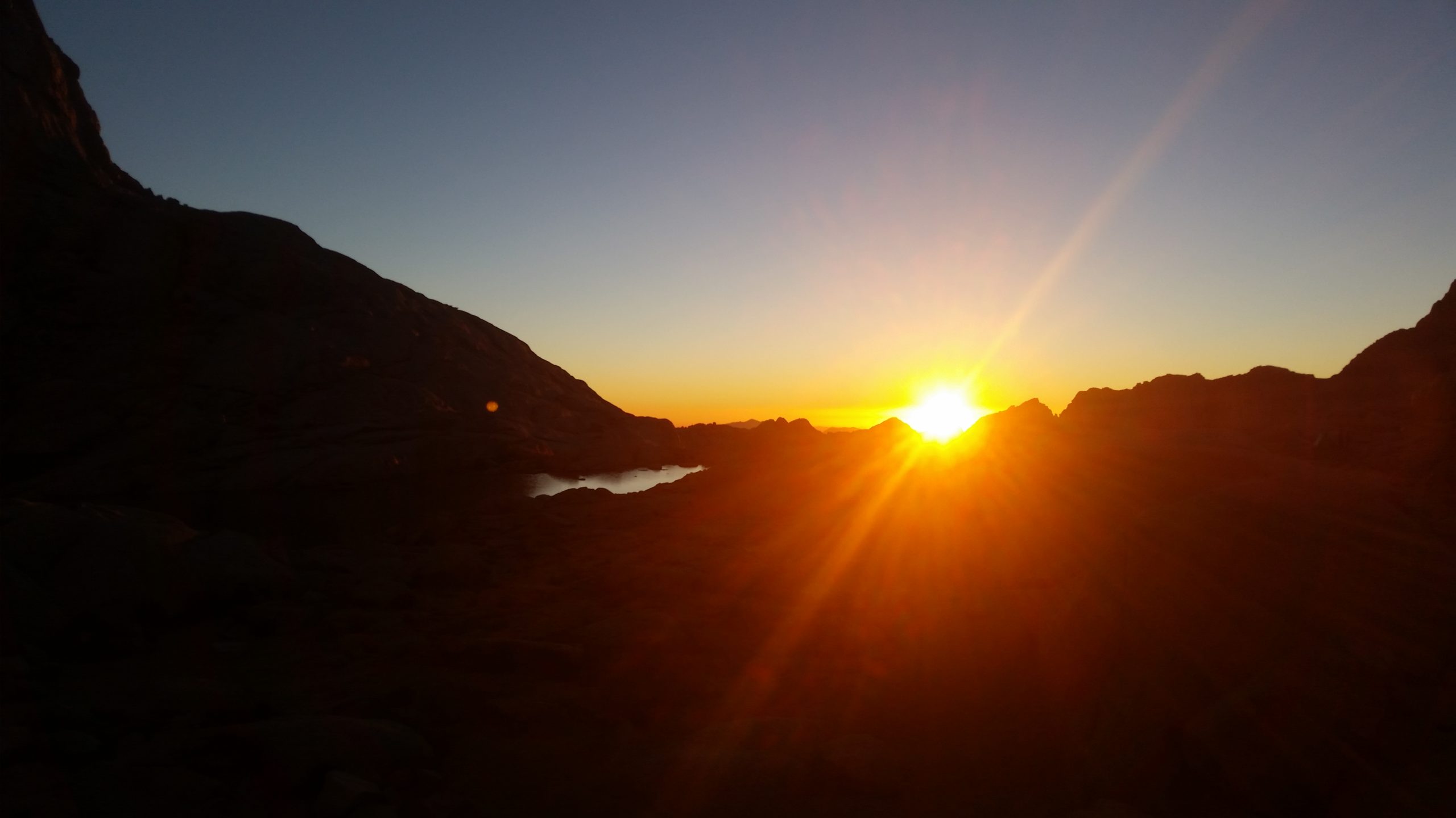
I won’t lie – this day was difficult because it was so unique. A 3:30am start after packing up camp in the dark and getting little sleep is a hard way to start a climb up the tallest peak in the “lower 49” states.
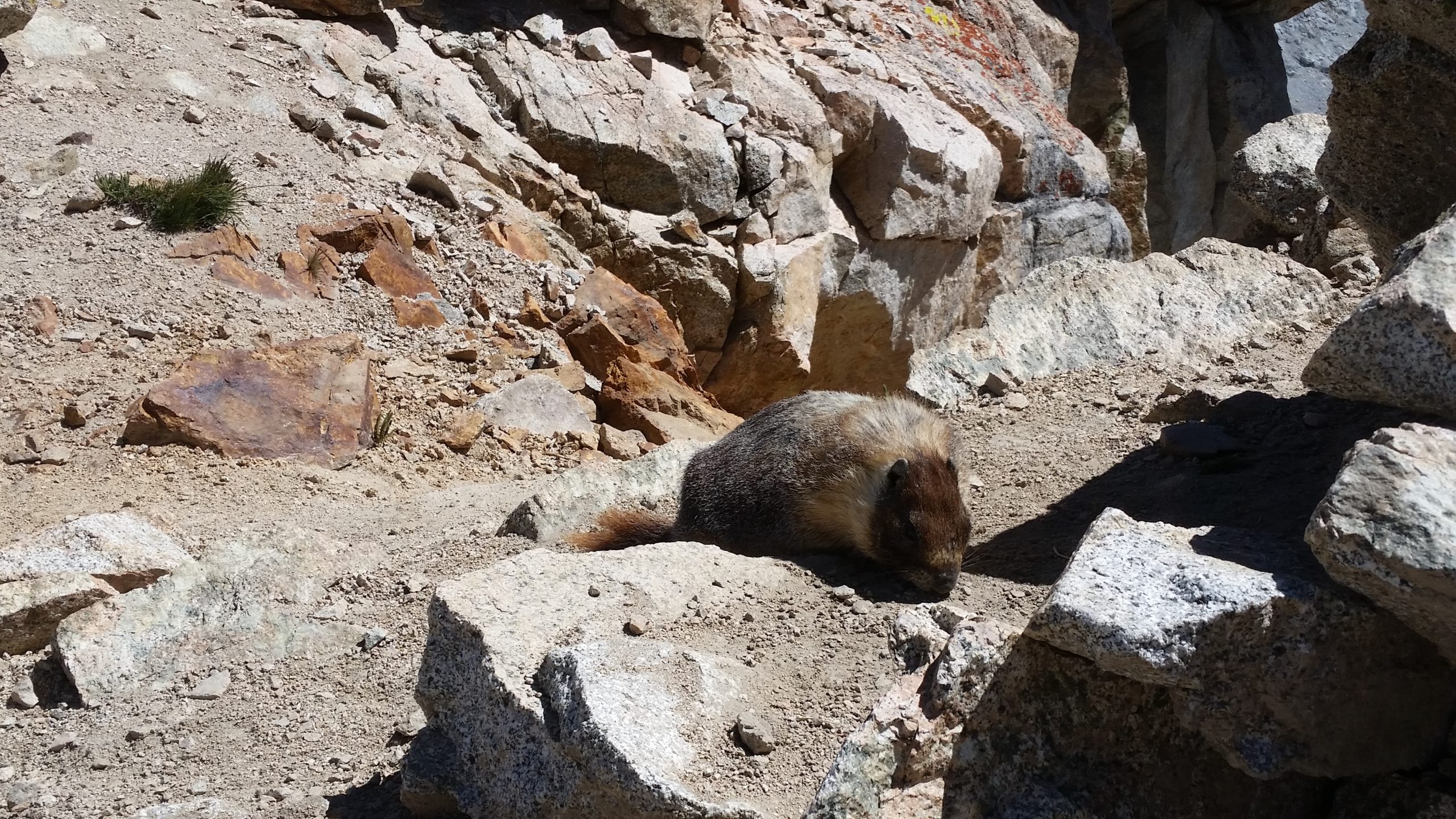
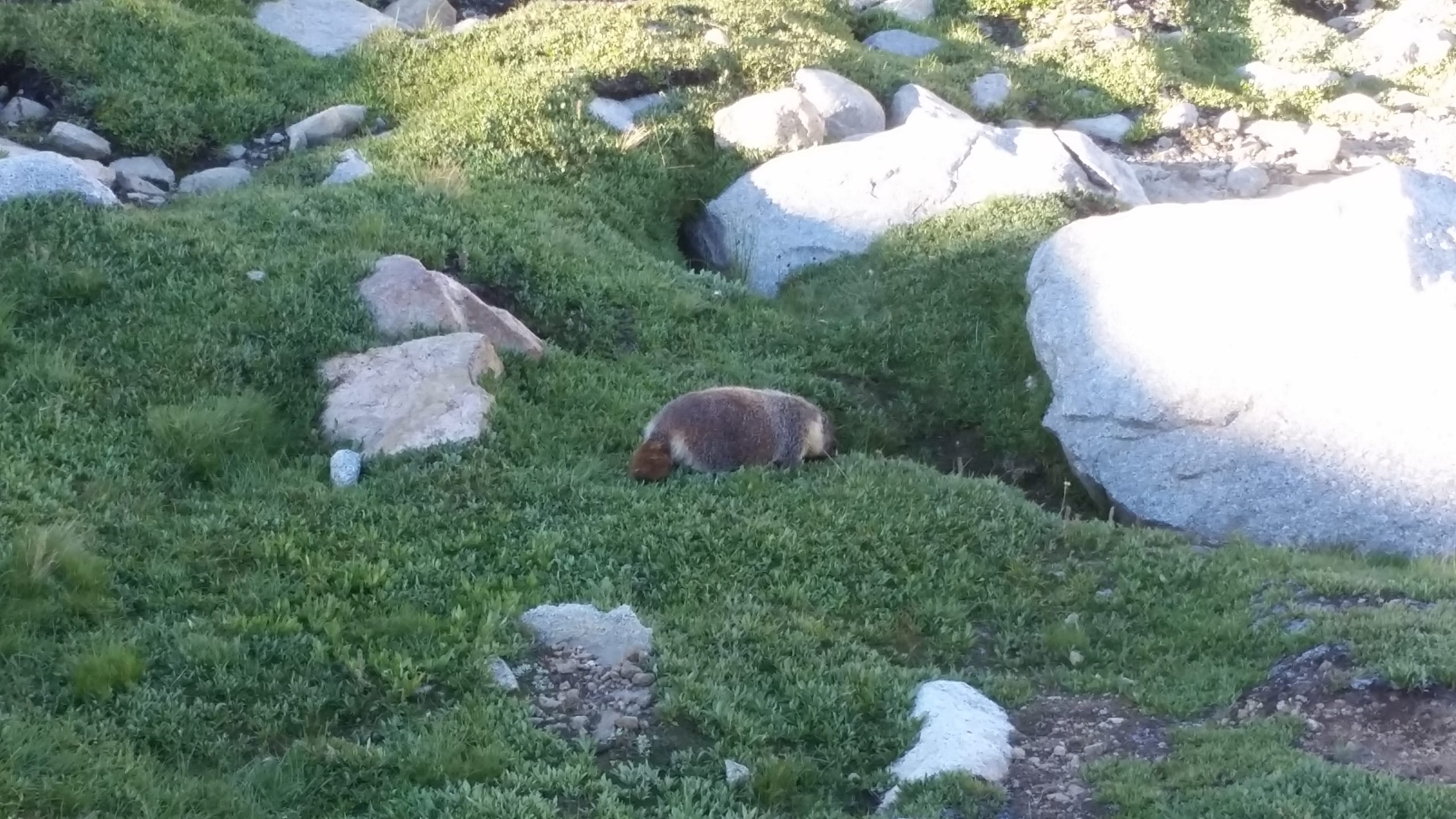
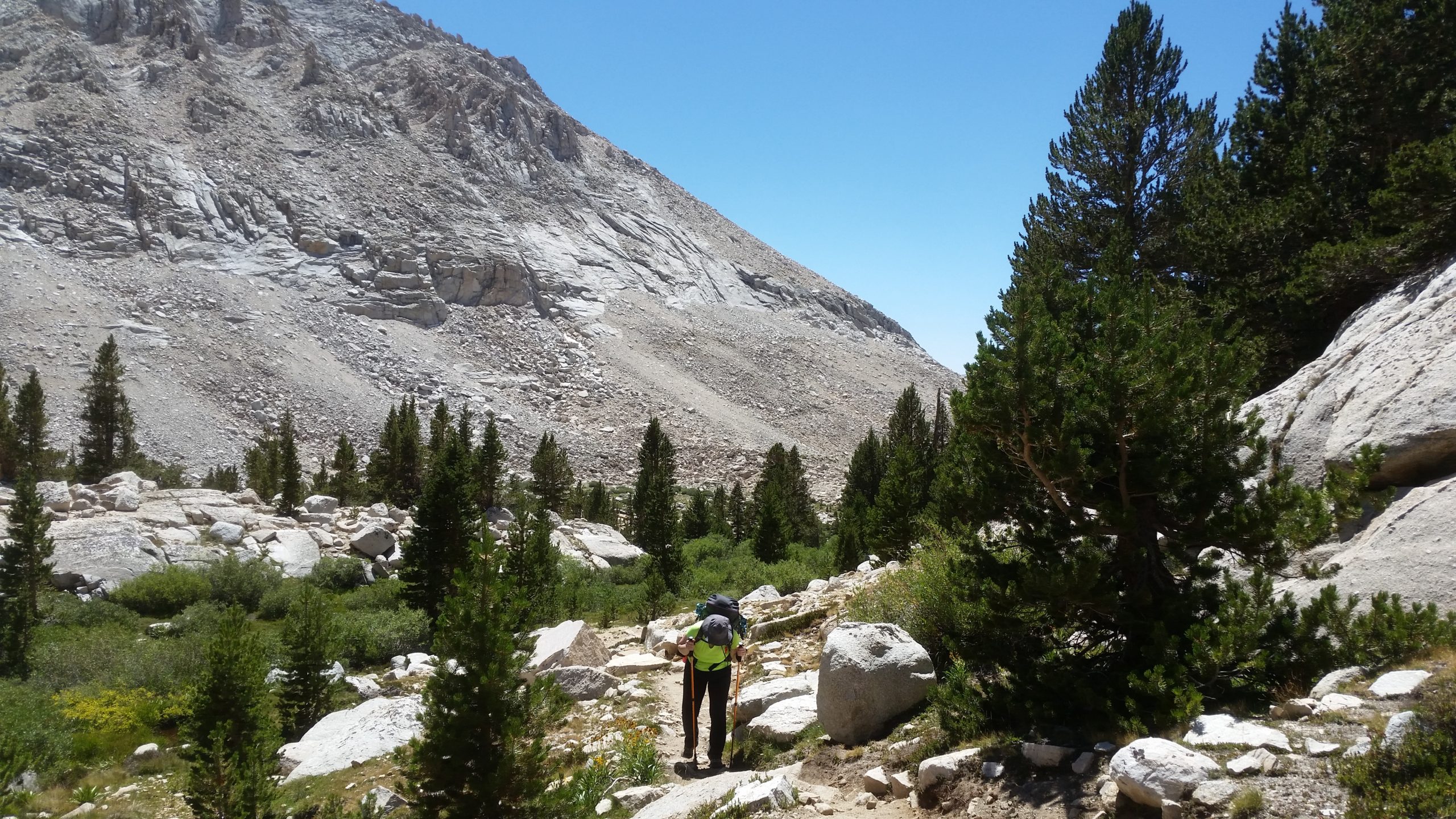
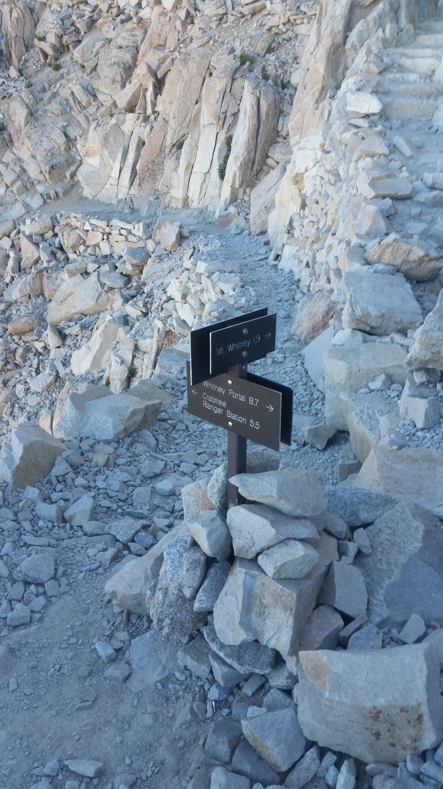
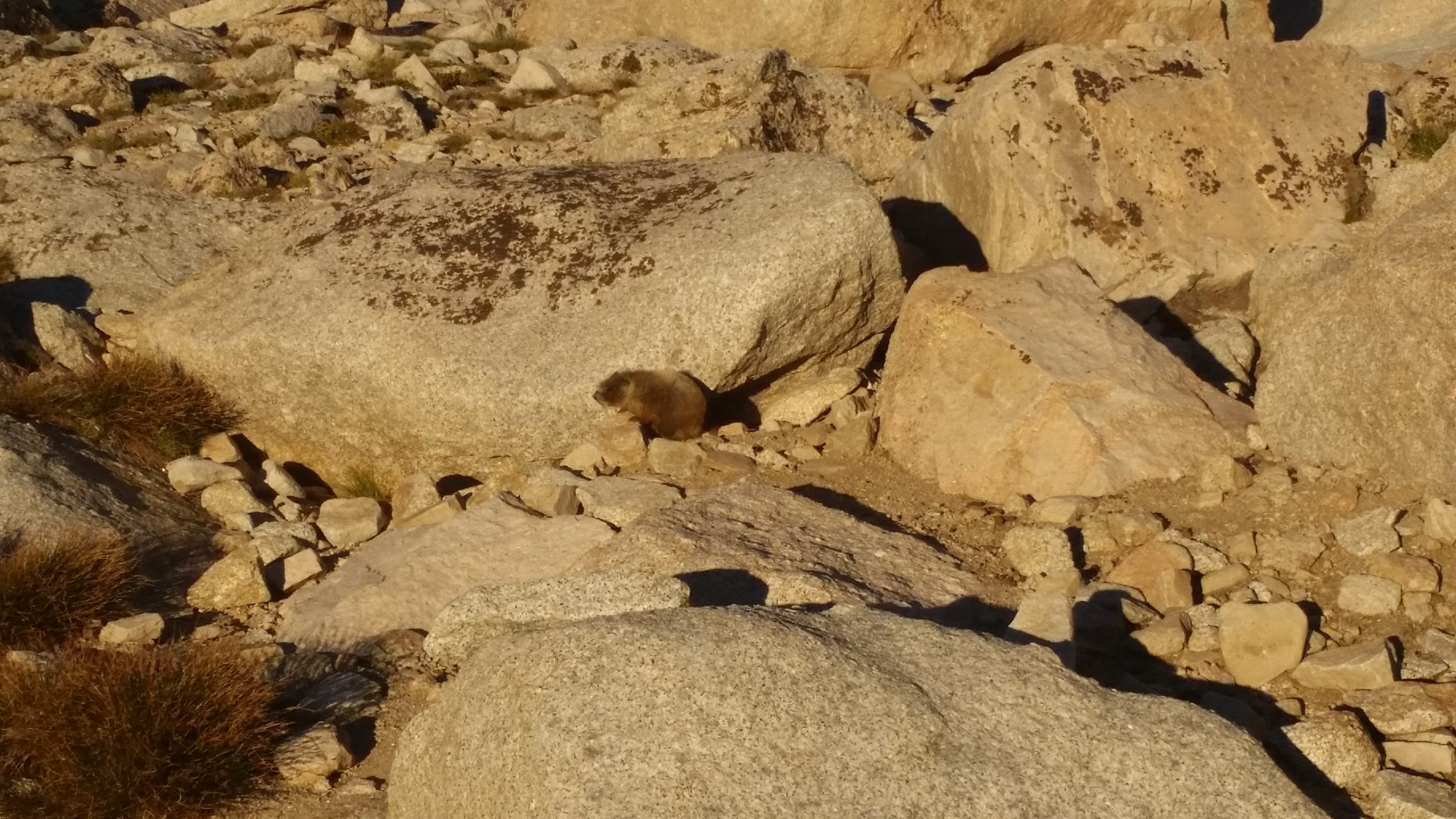
The first large switchbacks are not bad, really. They’re a great warmup and are engineered very well and wide. We get to Trail Junction for the final 1.9 mile push to the summit of Whitney, and we drop our main packs here (only 5 or 6 other packs here), take our bear cans out and unzip our pack pockets so the marmots don’t destroy everything looking for treats, and we grab the daypack and some water/snacks and head off for the summit.
Did I mention we have been wearing every article of clothing that we brought with us because it’s cold and breezy. Channan even borrowed my rainpants as an extra wind barrier.
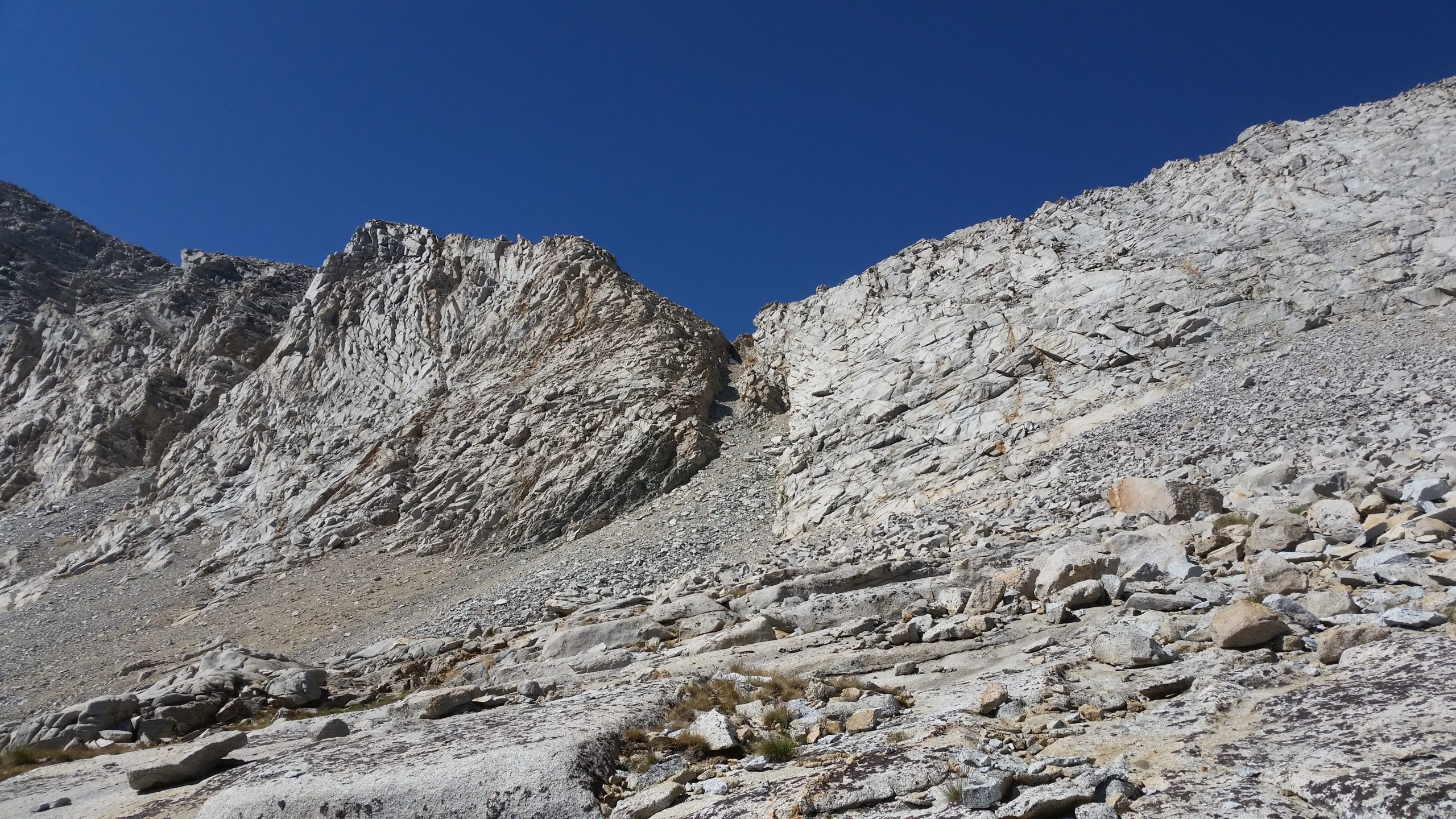
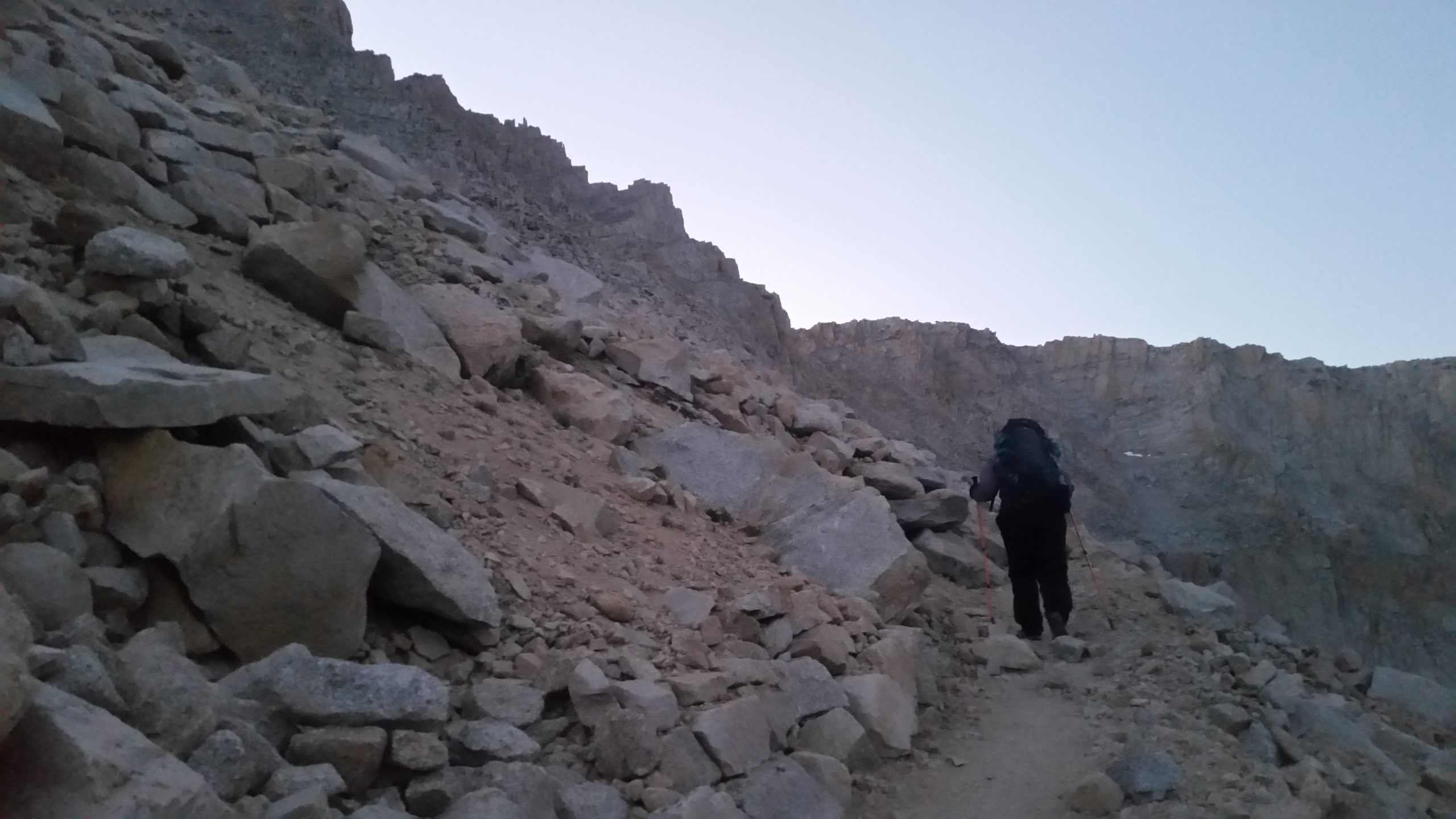
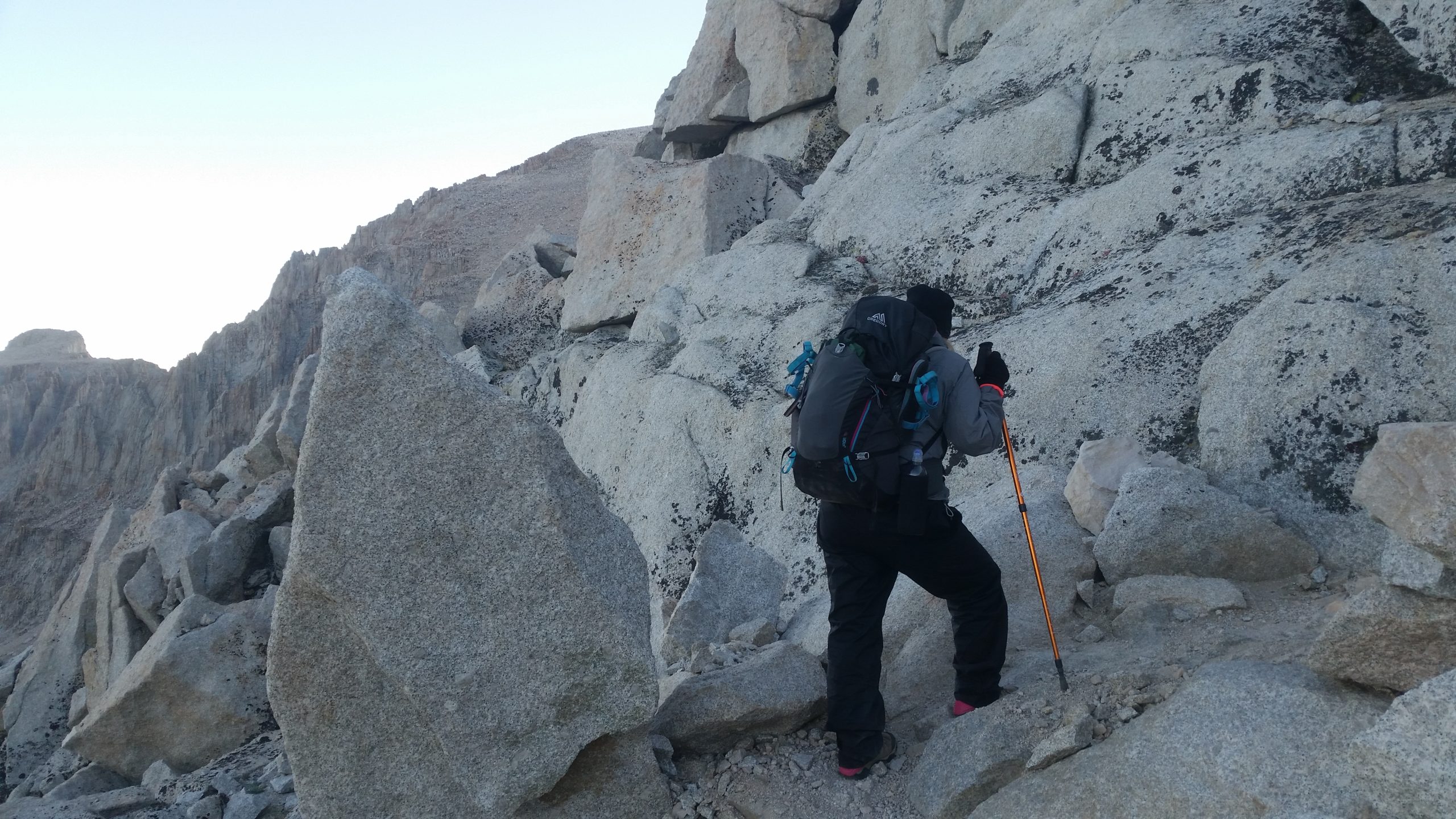
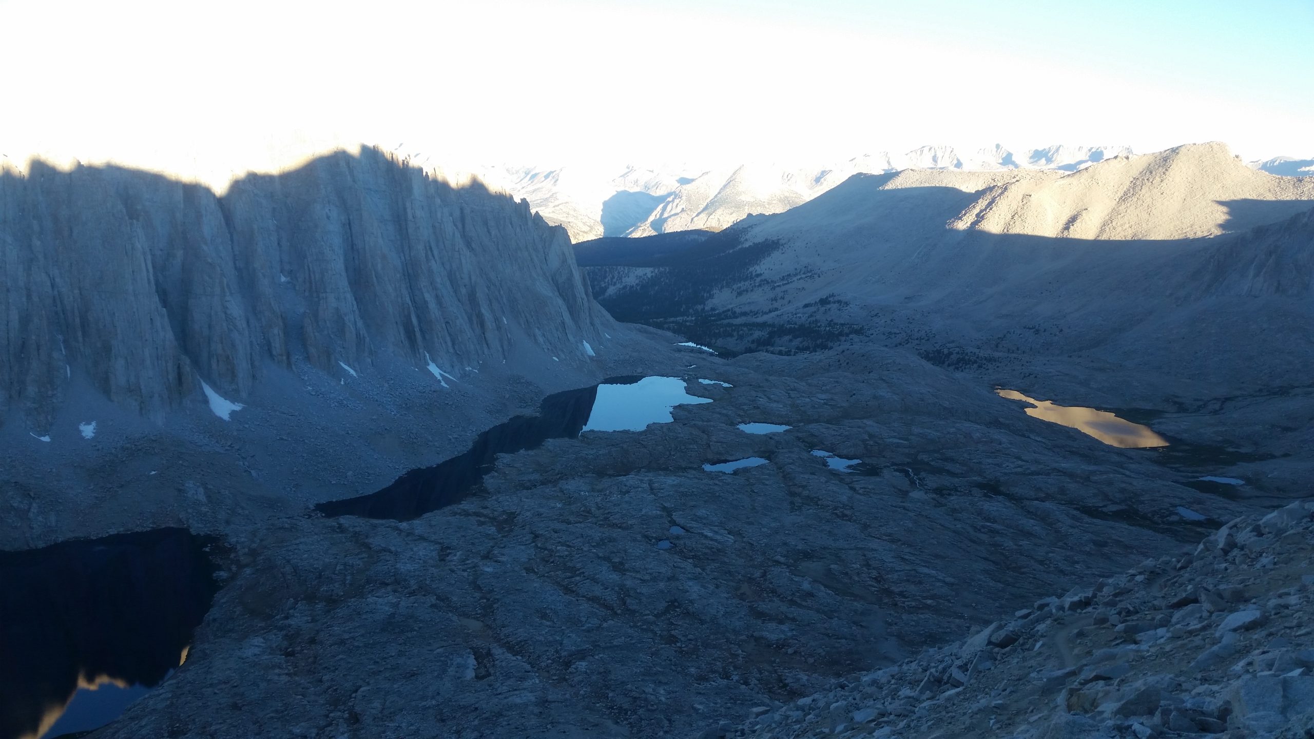
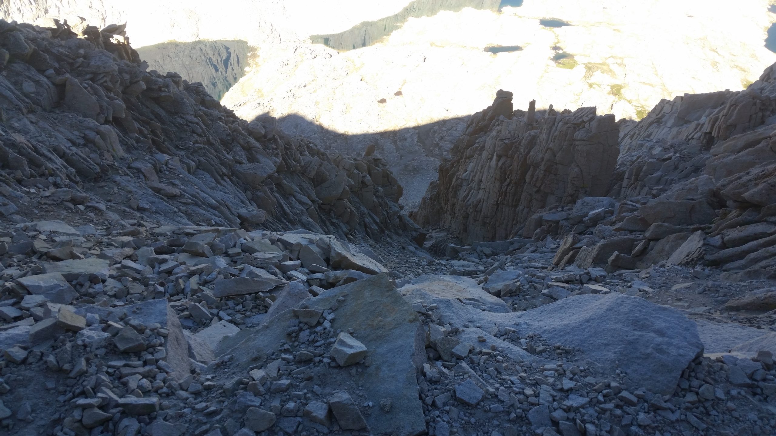
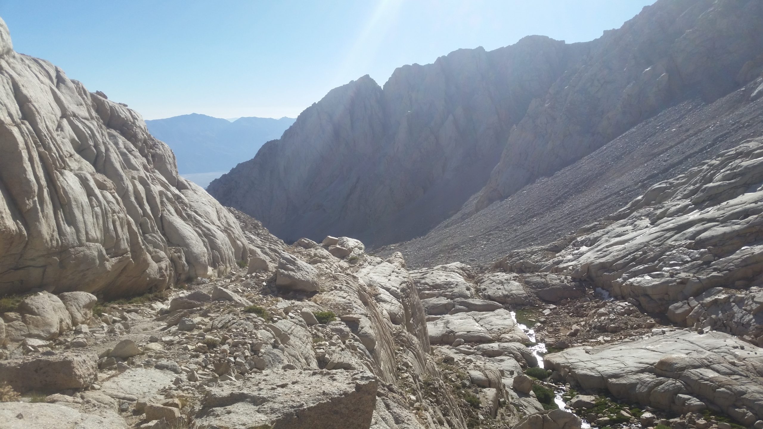
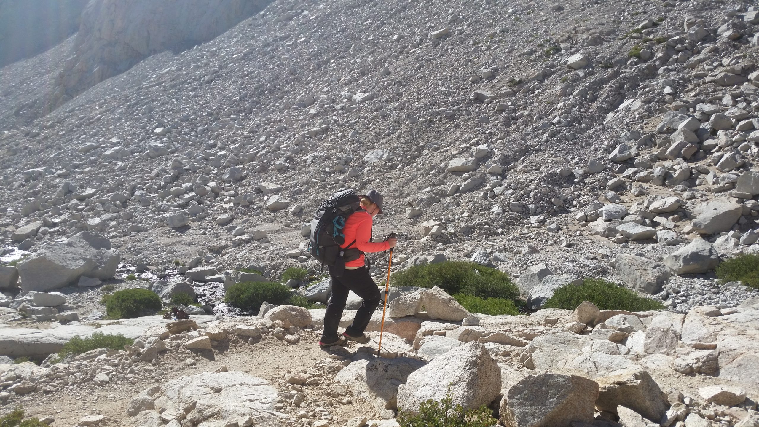
The sun is rising by the time we are at Trail Junction, and we poke along the next section very carefully because it’s narrow and there is really sketchy exposure that nobody warns you about. Some areas are less than a foot wide, but the dropoff to our side is 1000′ straight down on the most jagged rubble you can imagine. Zero chance of survival if you slip and fall here, so we tread very carefully. This 1.9 miles is going to take us much longer than expected.
After about a half mile of really sketchy exposed trail, we’re on more of an angle and walking on a narrow trail through a wide slanted field of talus that is begging to twist one of our ankles. It’s a relief to have that risk versus a potential fall to our deaths. In this section, we see a couple people really suffering from the effects of altitude to the point of being confused and vomiting, and needing to immediately turn around and not summit. Channan and I are dragging our feet and our heads are a little foggy, but we put one foot in front of the other and check with each other that we are safe to proceed.
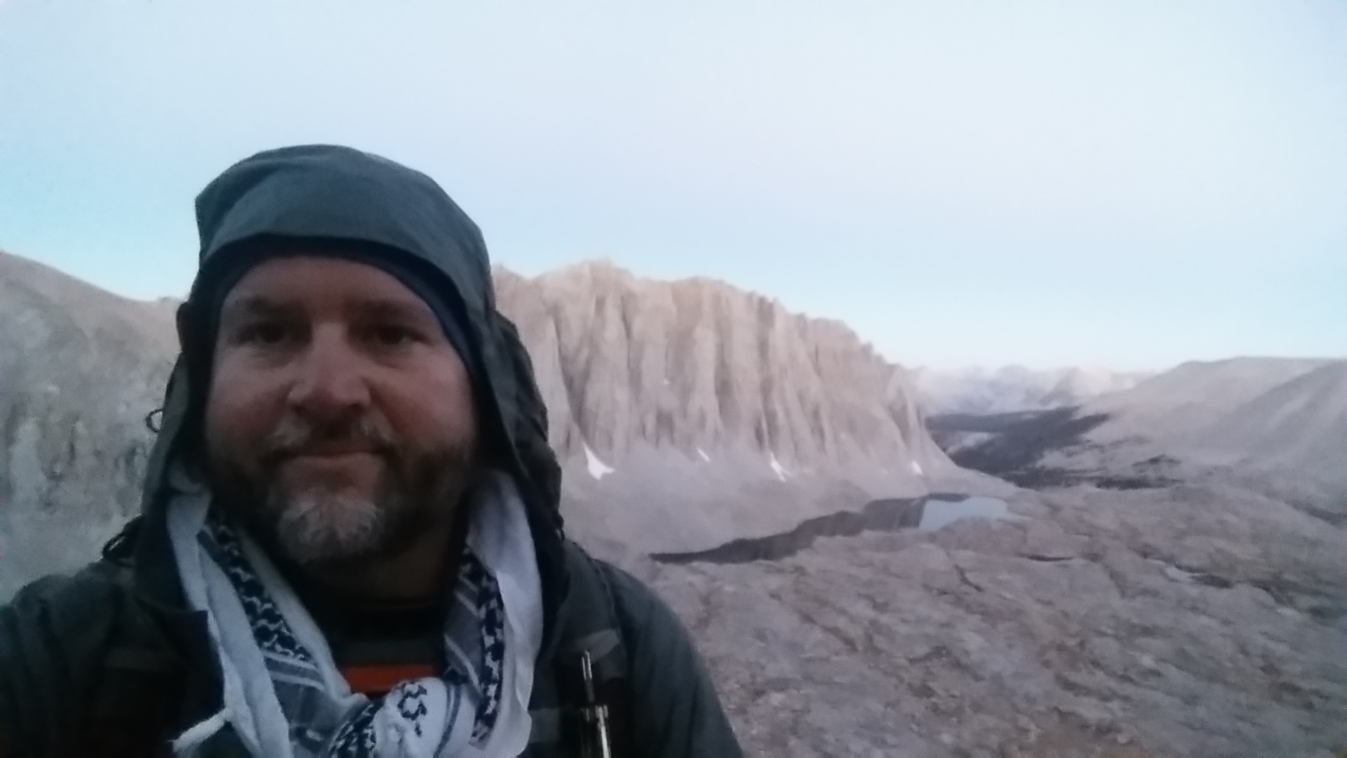
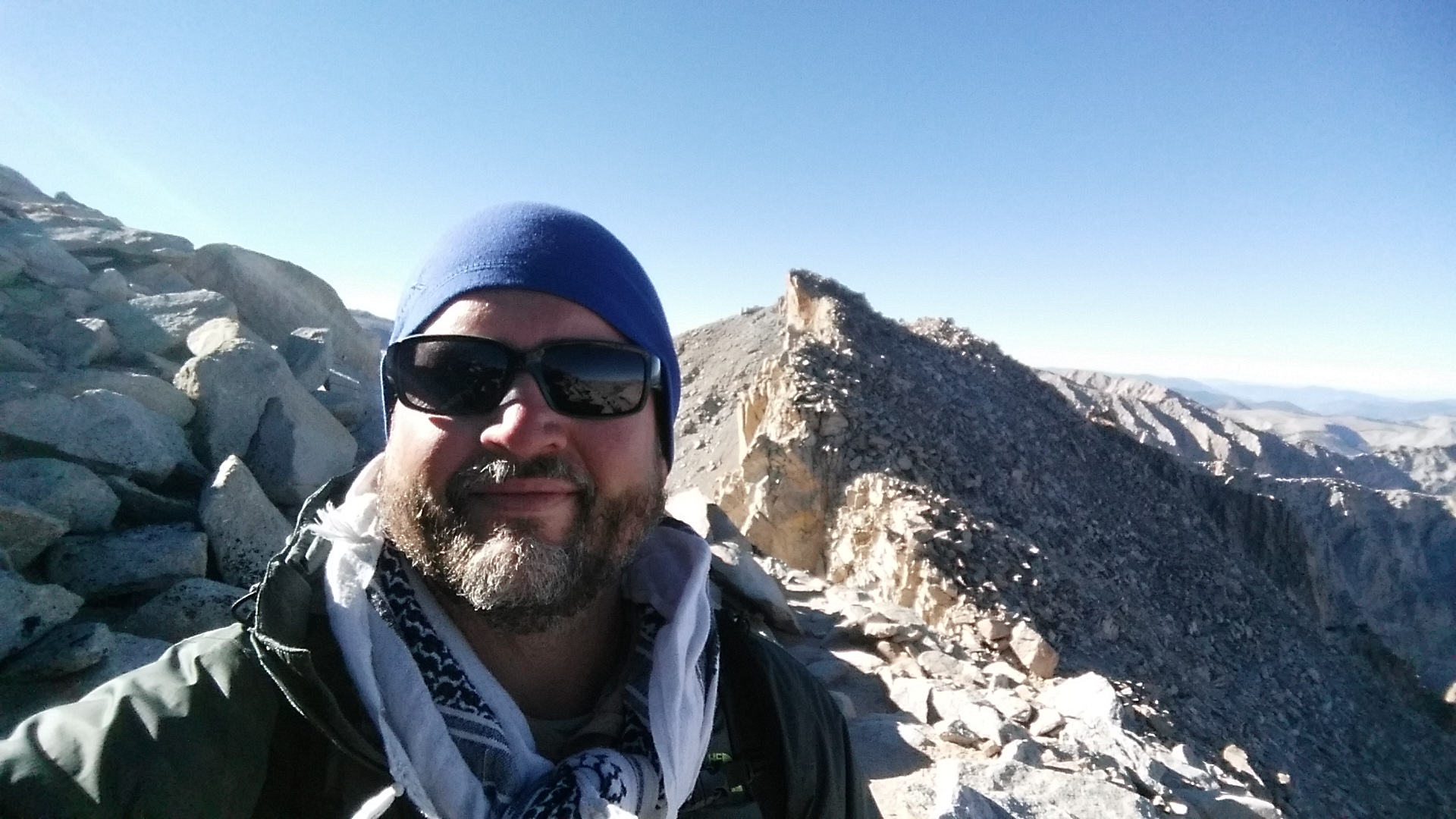
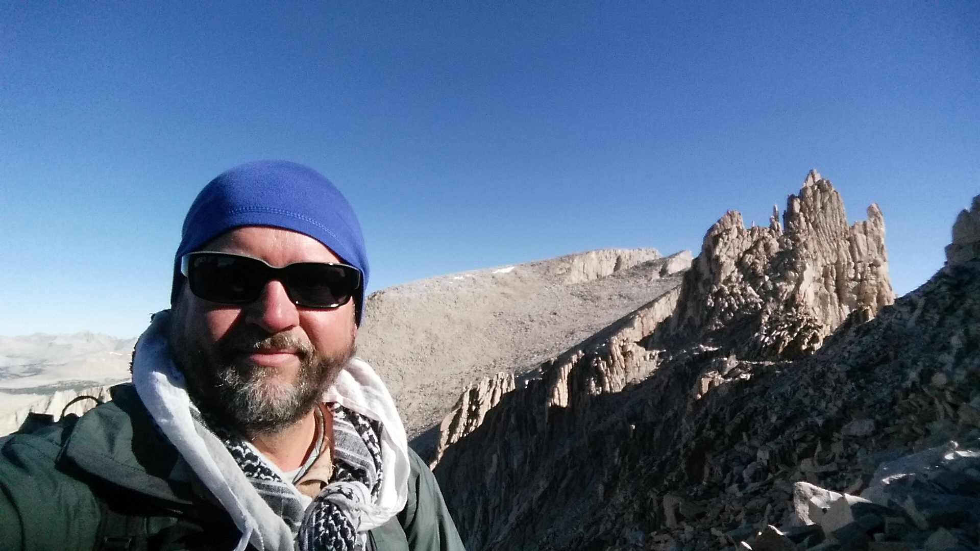
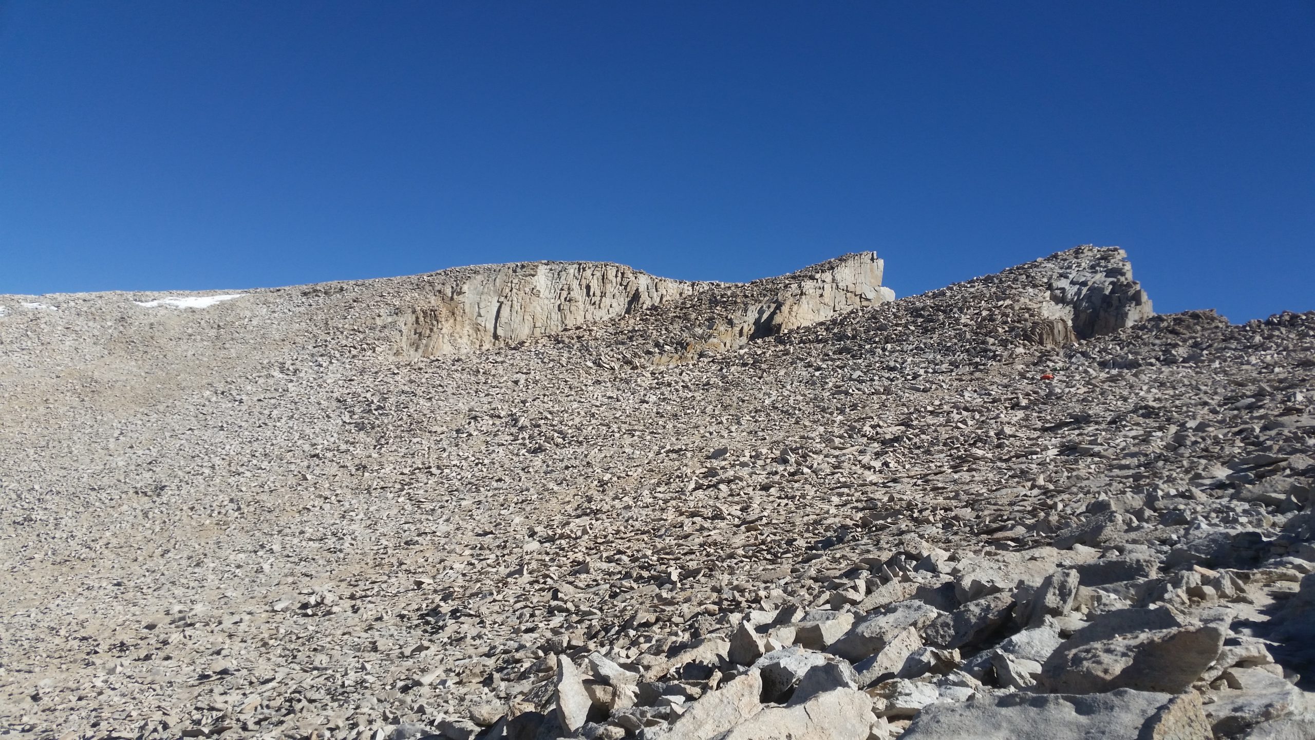
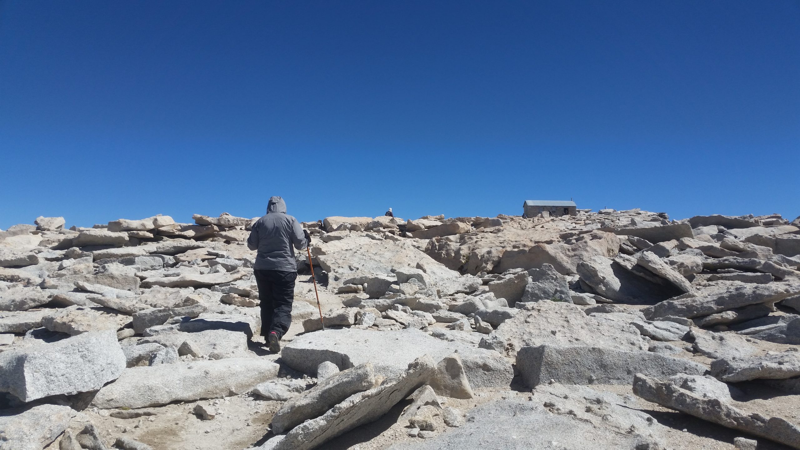
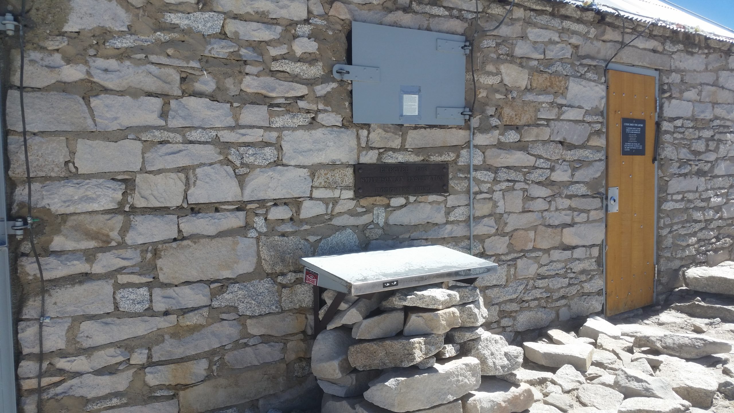
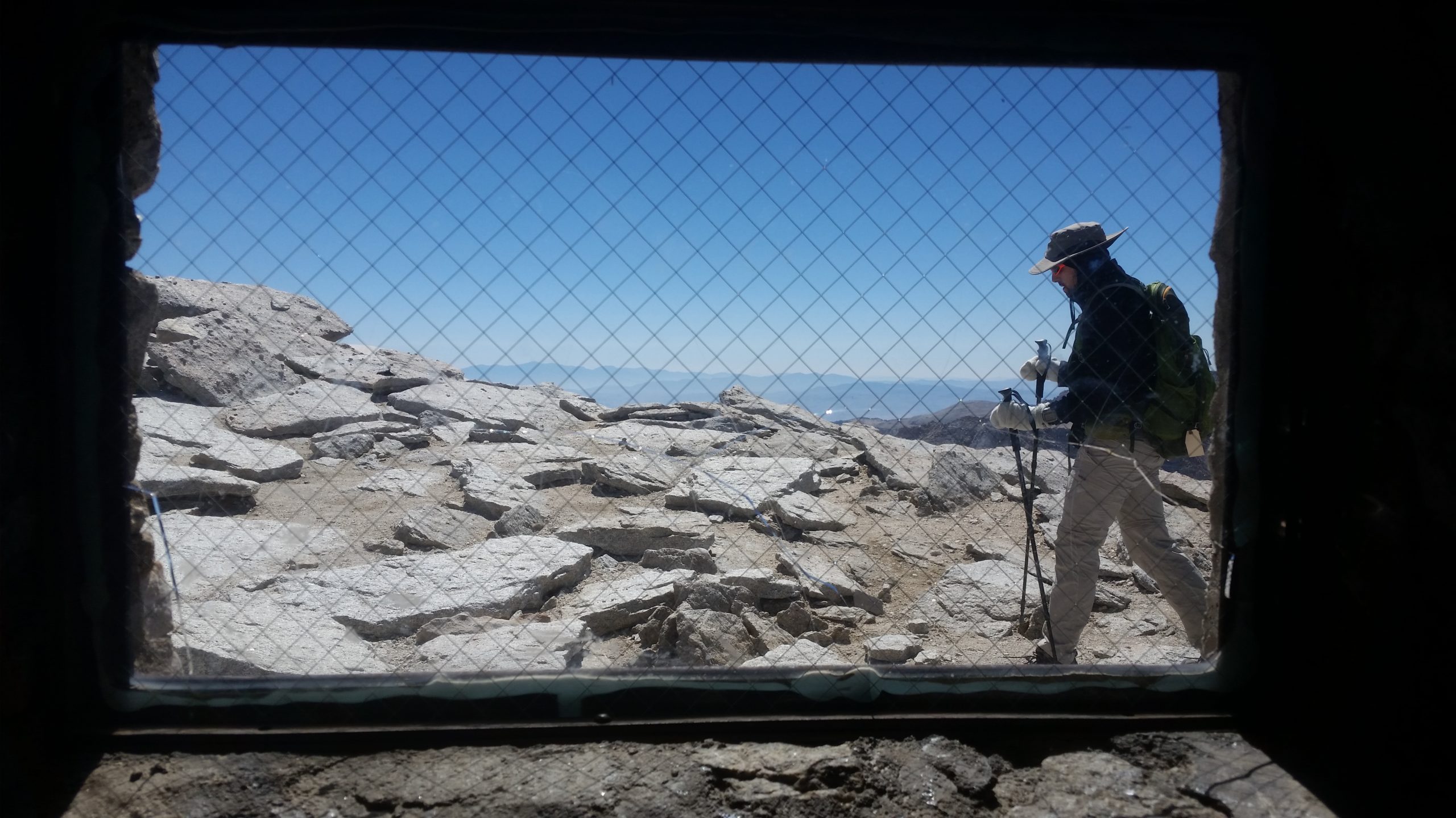
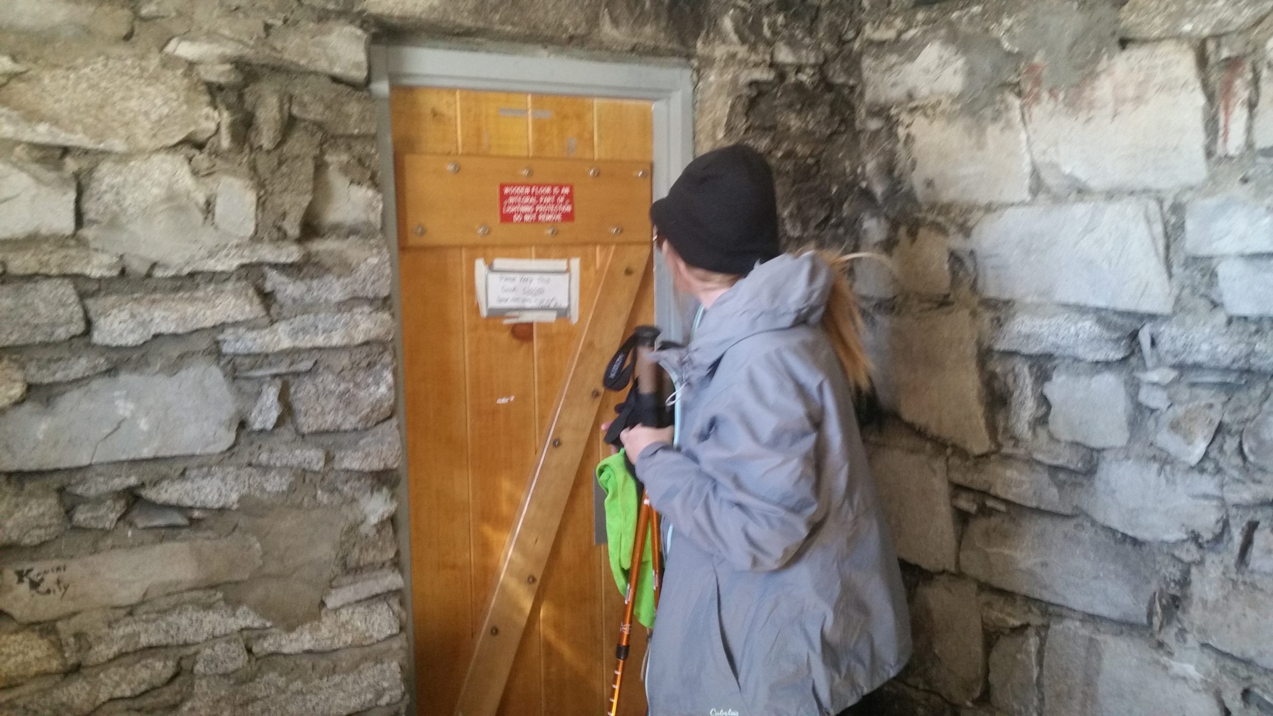
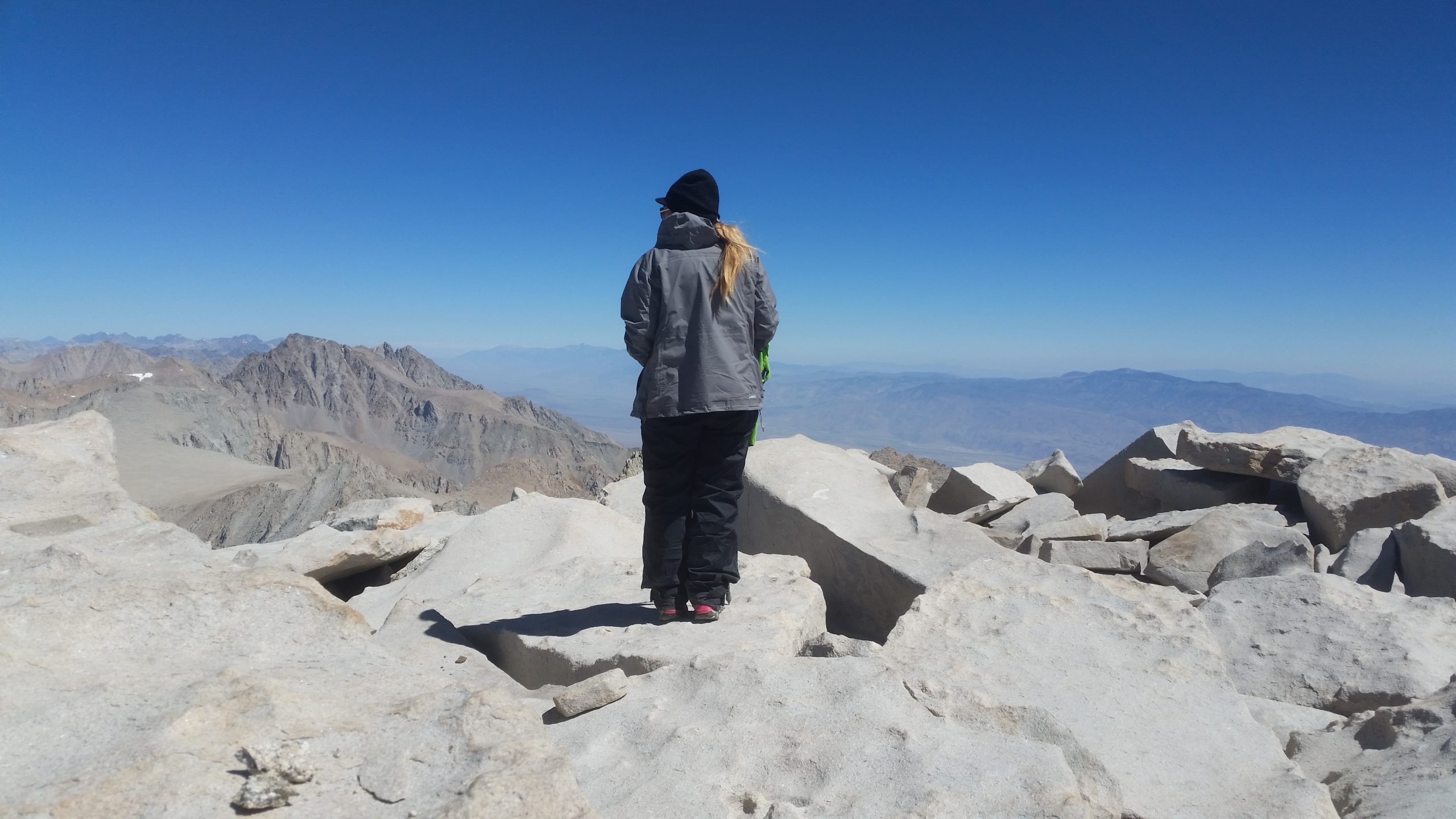
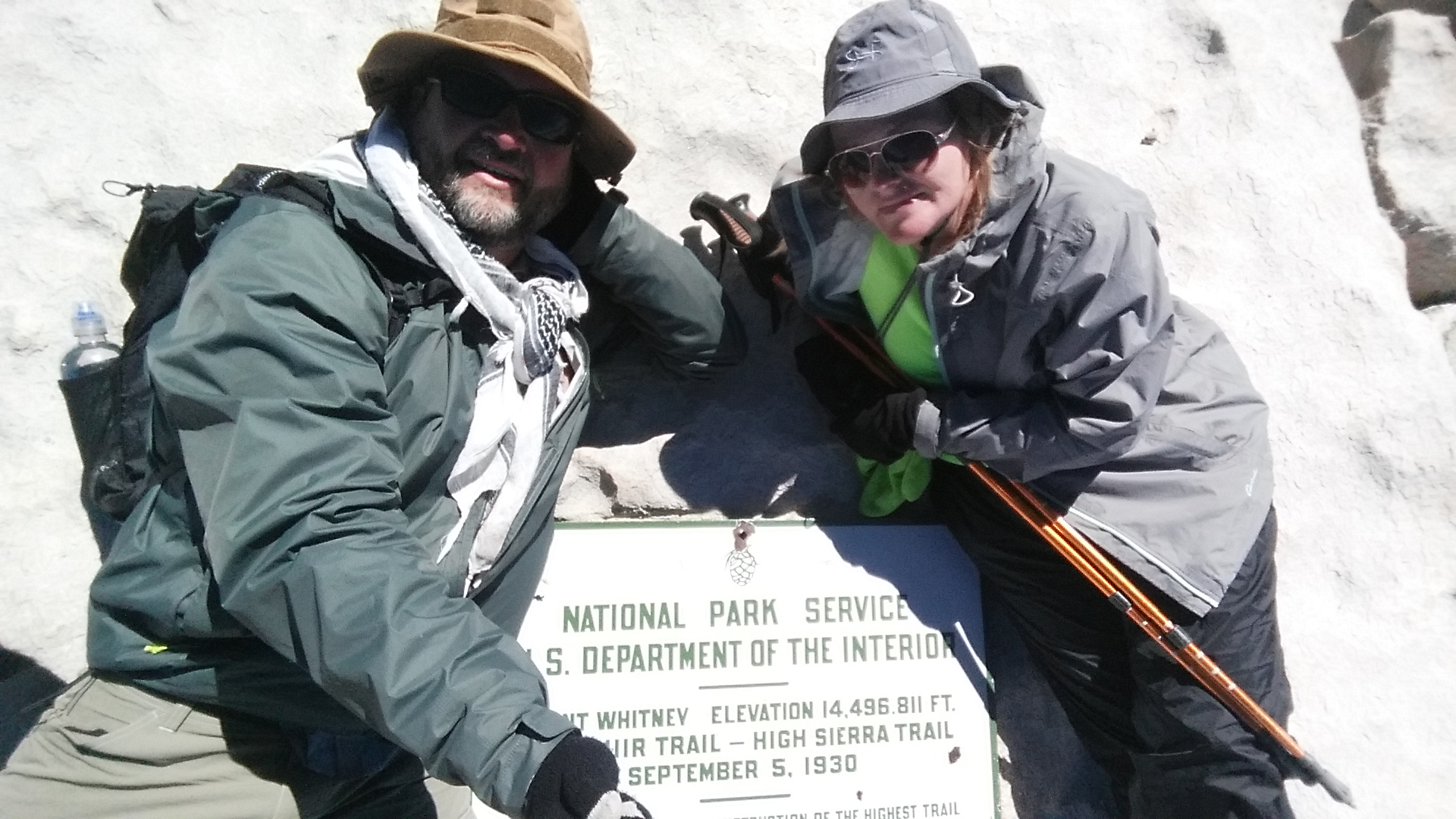
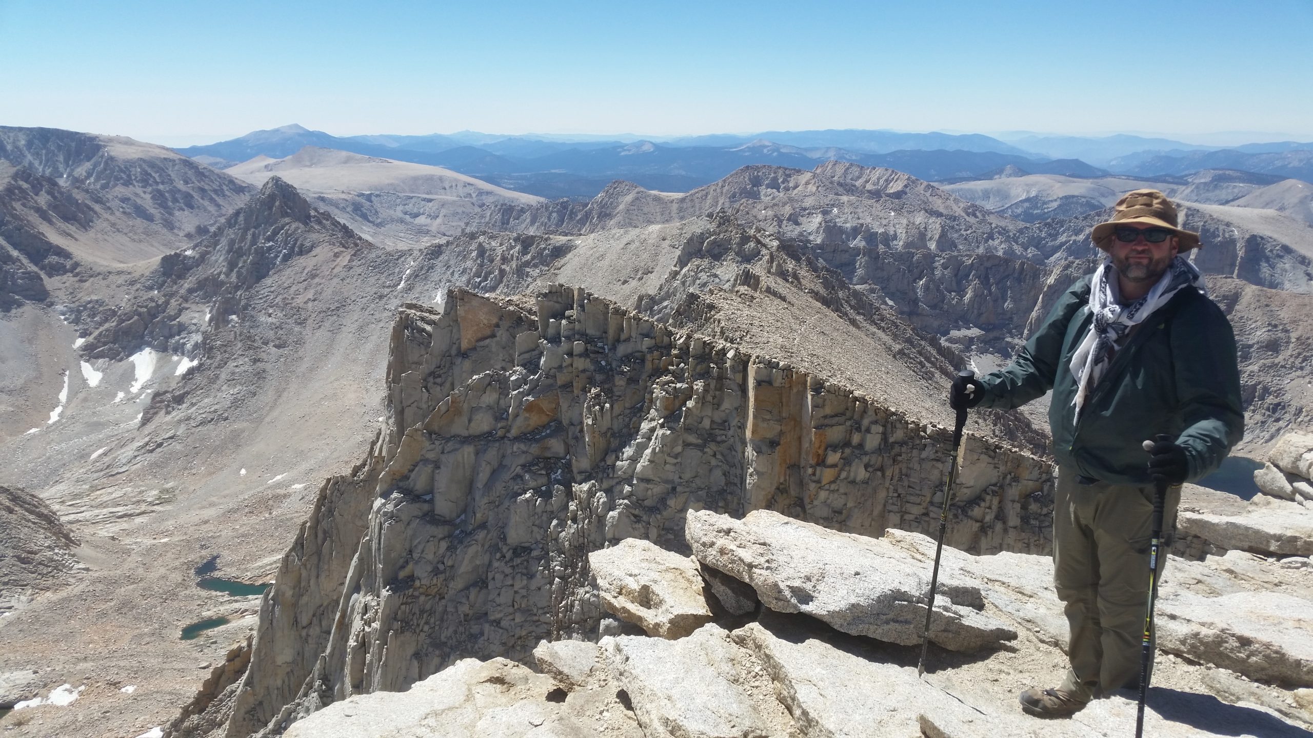
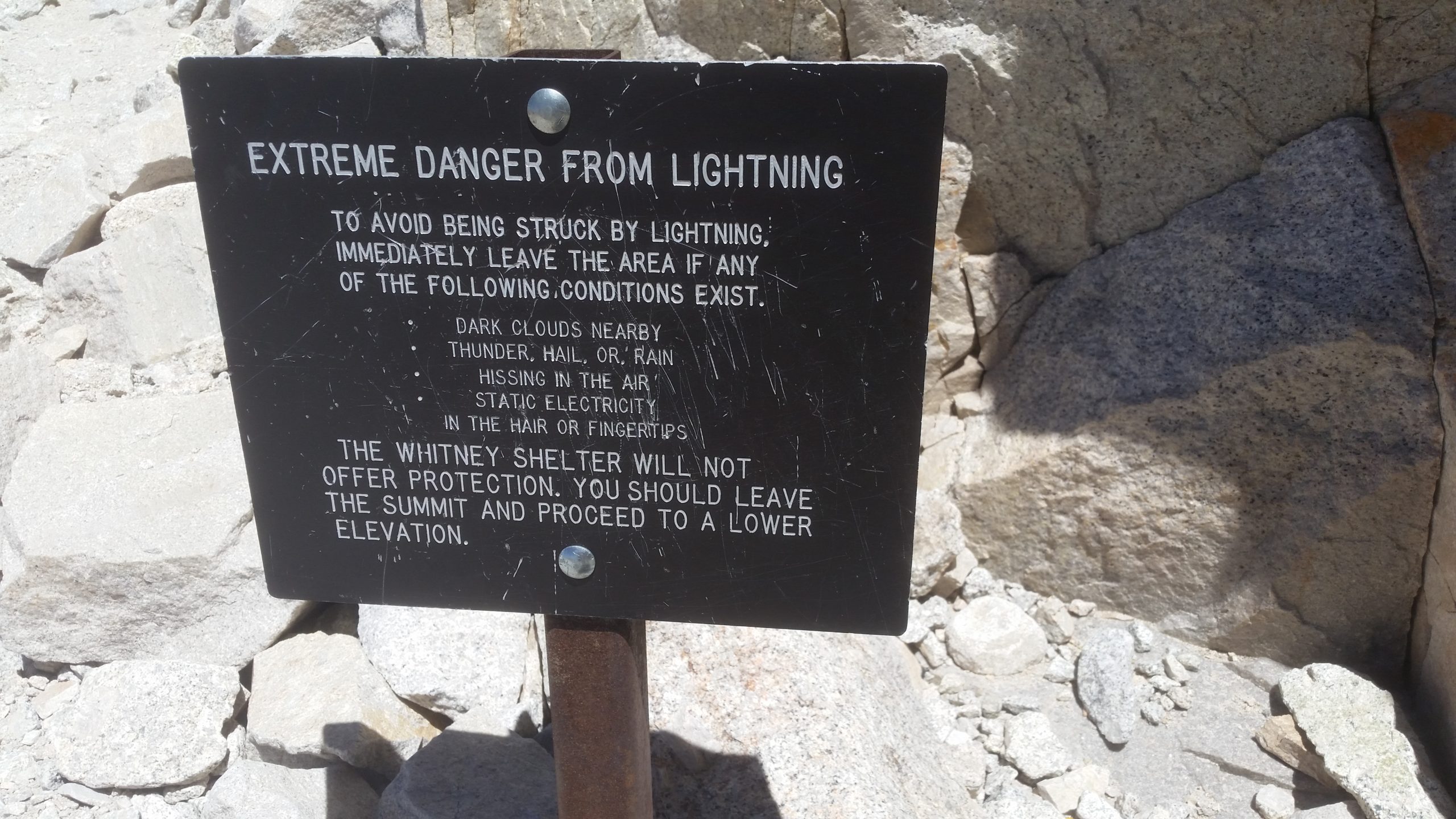
The last push up to the summit is really slow, and we are now feeling the altitude. Walking very slow and carefully, as this is no place for a mechanical injury to a leg or anything, we put one foot in front of the other and reach the shelter at the summit. The adrenaline is now setting in and the relief that we made it. A few pictures later, a small snack, and some water replenishment, and it’s time to just get down and get to camp.
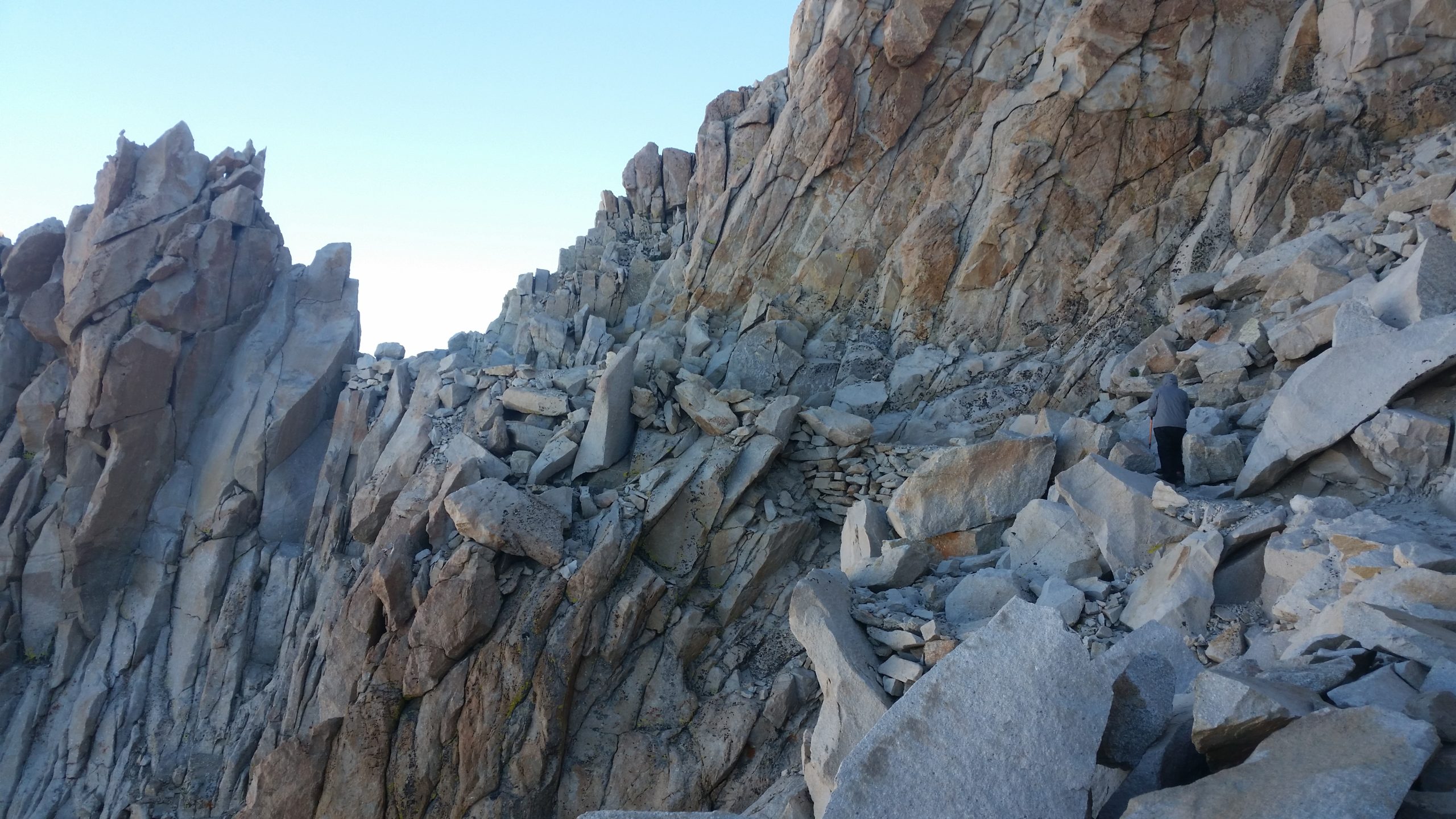
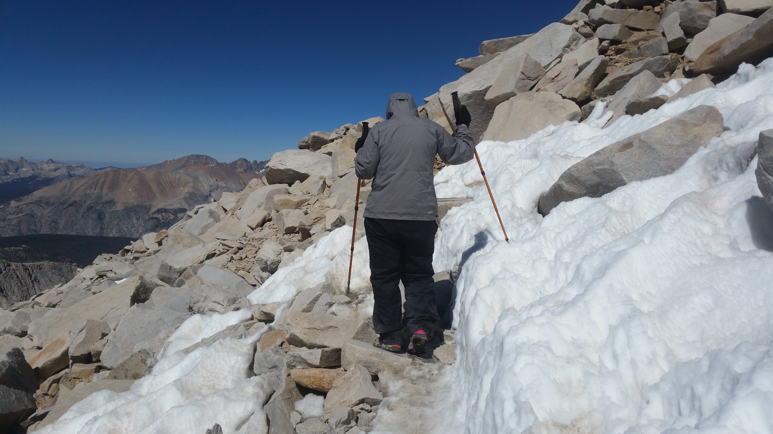
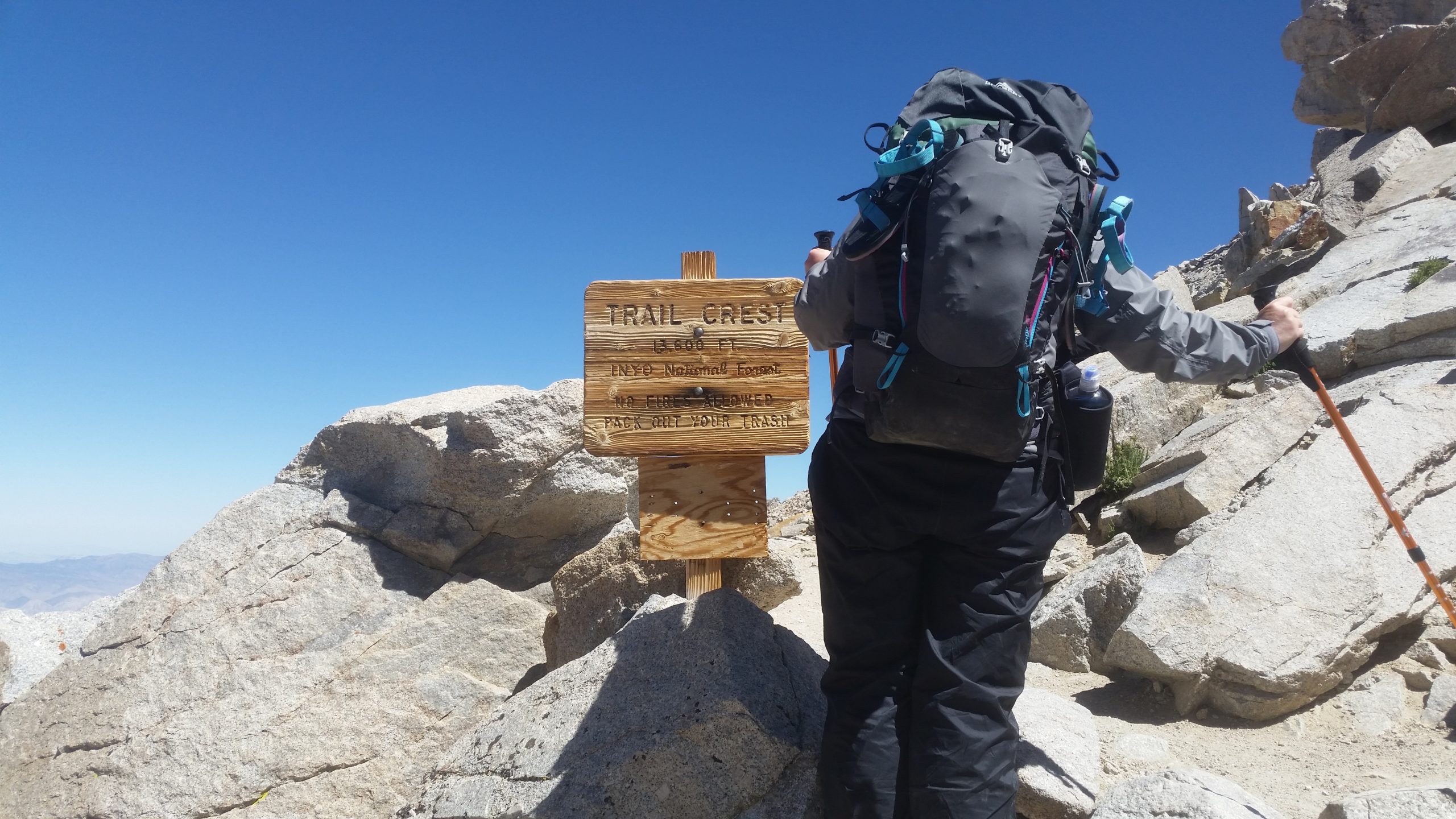
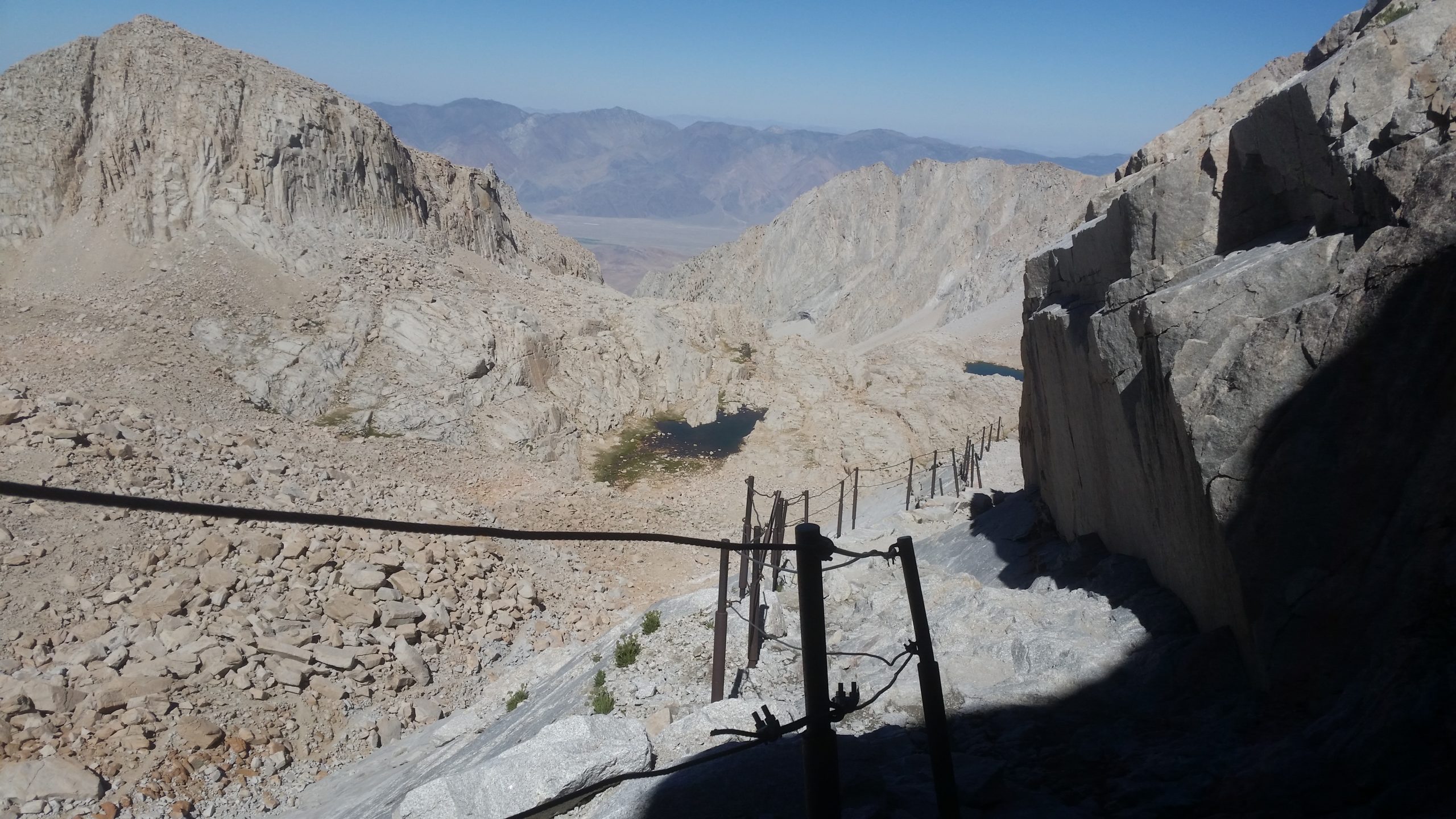
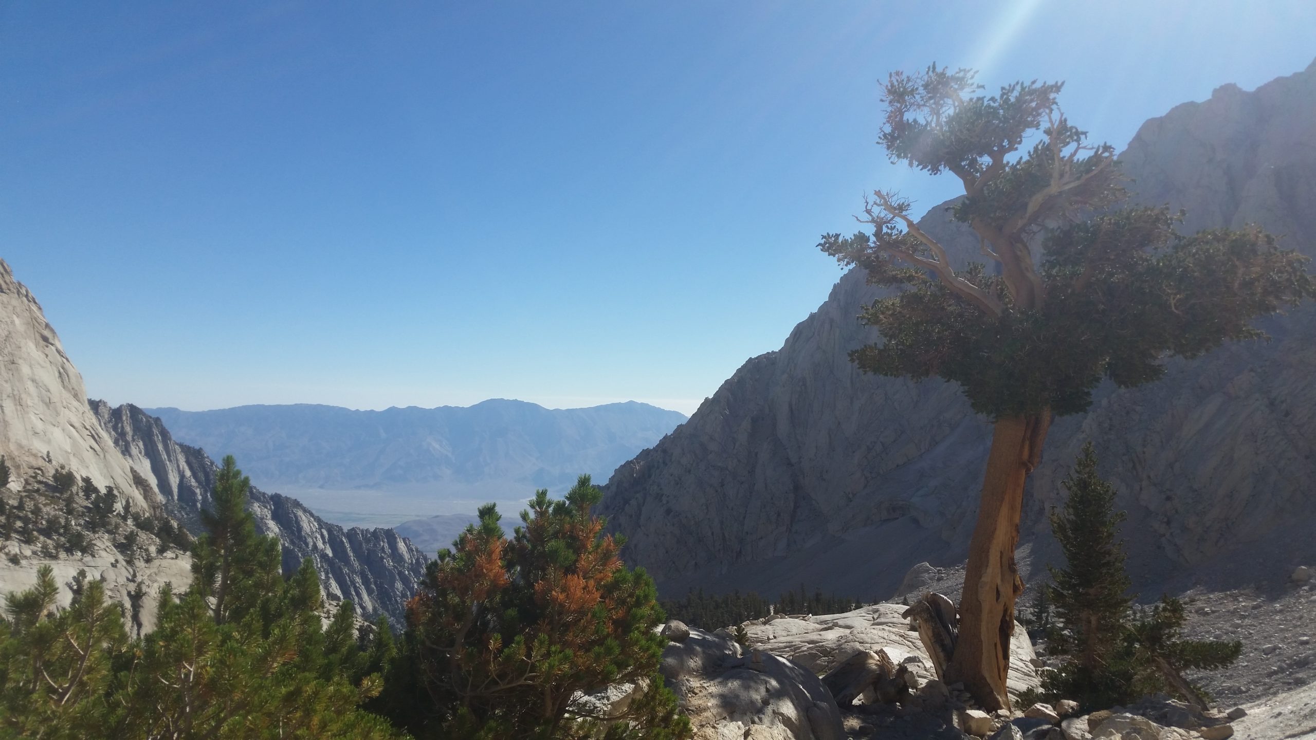
We get back to our packs at Trail Junction and everything is intact and the marmots have decided to raid some of the other packs. We grab them and head over Trail Crest (another sketchy and narrow exposed little part of the exit that isn’t mentioned in my research), and then start the descent down to the “99 switchbacks” and the “cables” on a lower part of those switchbacks. They go on and on and on and are scattered with people going in both directions and taking breaks wherever they can. The cables are in place because there is a water seep here and it’s in the shade and can create a 30-50′ section of icy rock that is tricky to walk on. The cables keep you upright without the need for spikes or crampons.
Finally the switchbacks are over and the trail levels out and winds down to Trail Camp next to one of the smelliest tarns on the trail. Hey, it’s water and it filters fine, but I recommend filling water from the headwaters on the southwest edge where fresher water is trickling down from sources above. There are nice boulders here to get out of the wind, but it’s rocky and sparse and the odor of hidden “wag bags” that other hikers left behind is a disgrace. There were 2 hidden behind rocks at our camp, and we saw others. Carry out your waste, losers. We all have to do it, and there’s no garbage service at 12,000′ in the backcountry.
We had camp set up, ate, and were laying down for sleep at 6:30pm today and we earned it. Tomorrow is less than 7 miles of all downhill, but it’s going to be a real knee crusher.
Day 6 - Trail Camp > Whitney Portal
Distance: 6.7 miles
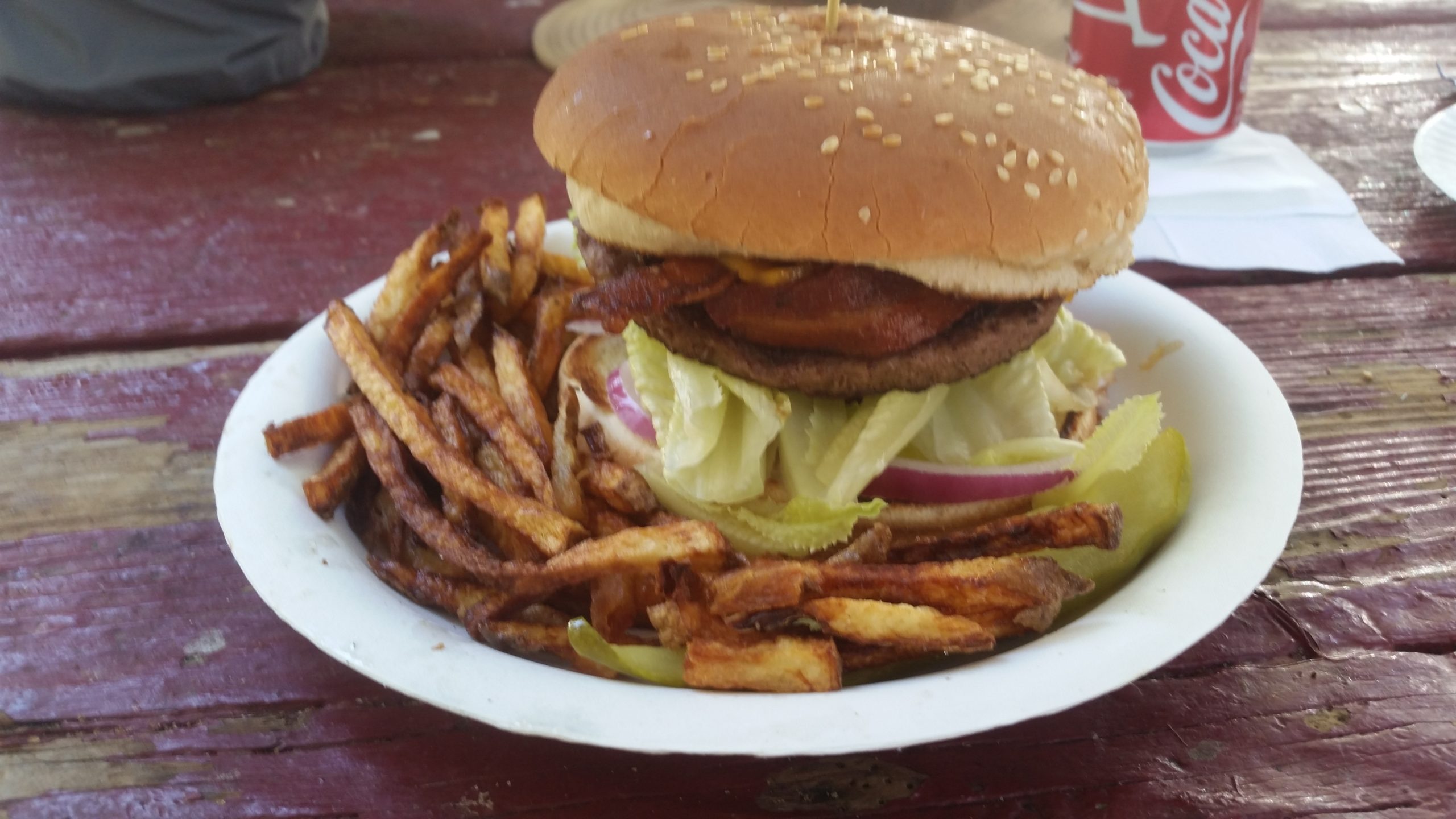
Waking up with the sun, making a very light breakfast of hot chicken broth and a couple trail bars, we pack up and are ready to get down to Whitney Portal for the famous “Whitney Burger”.
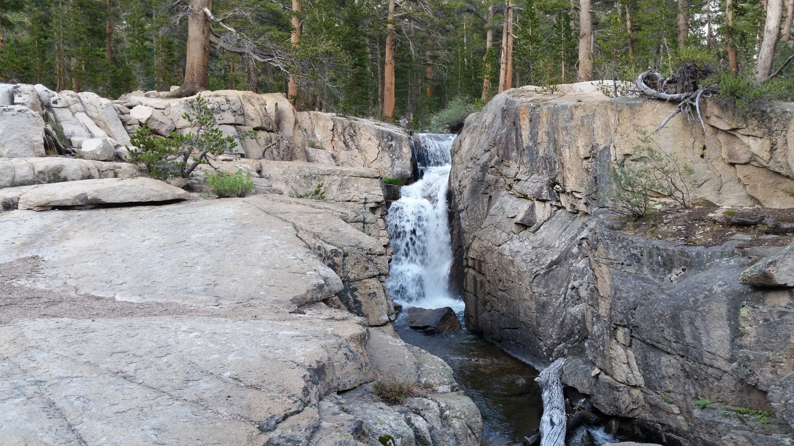
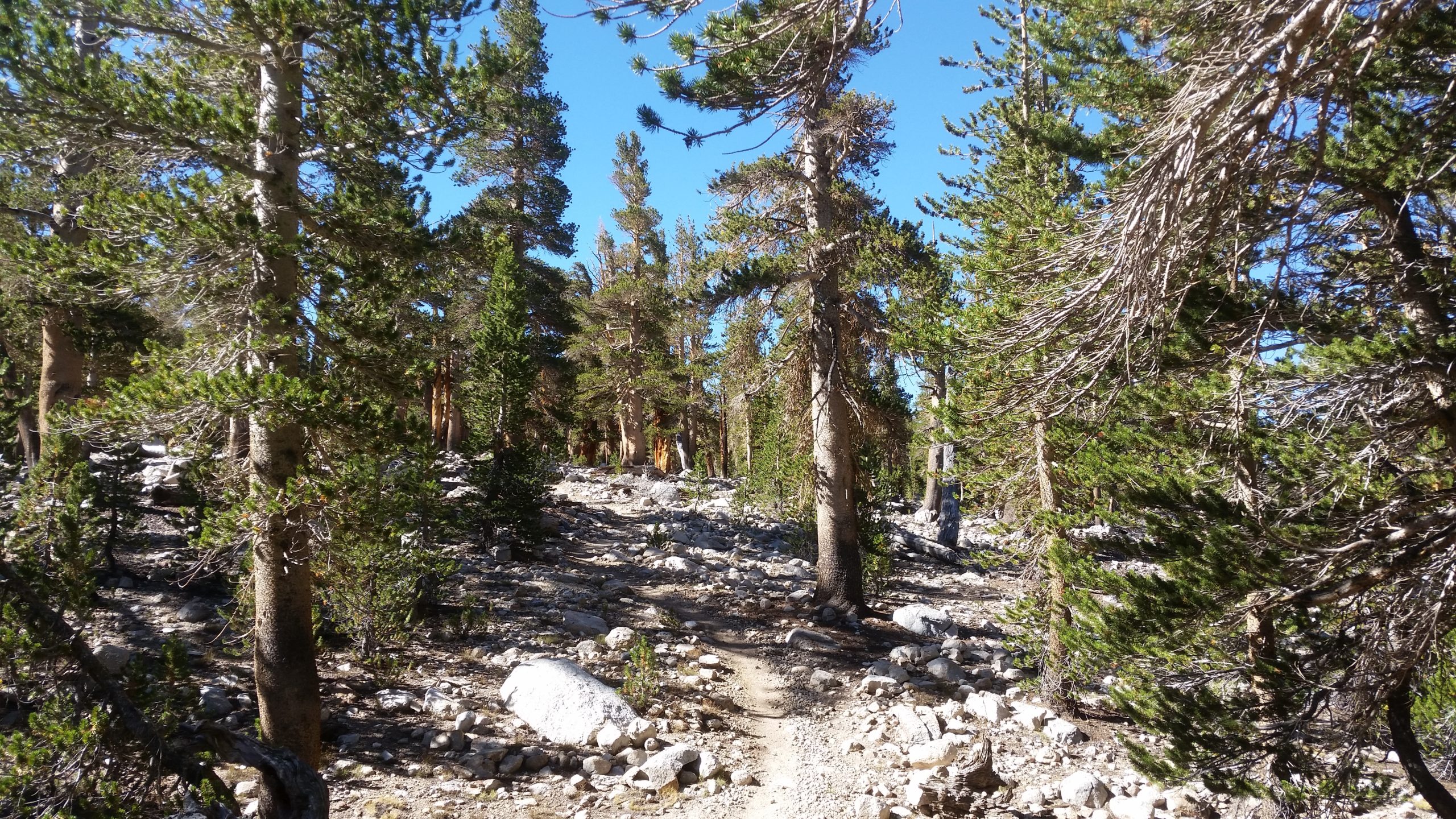
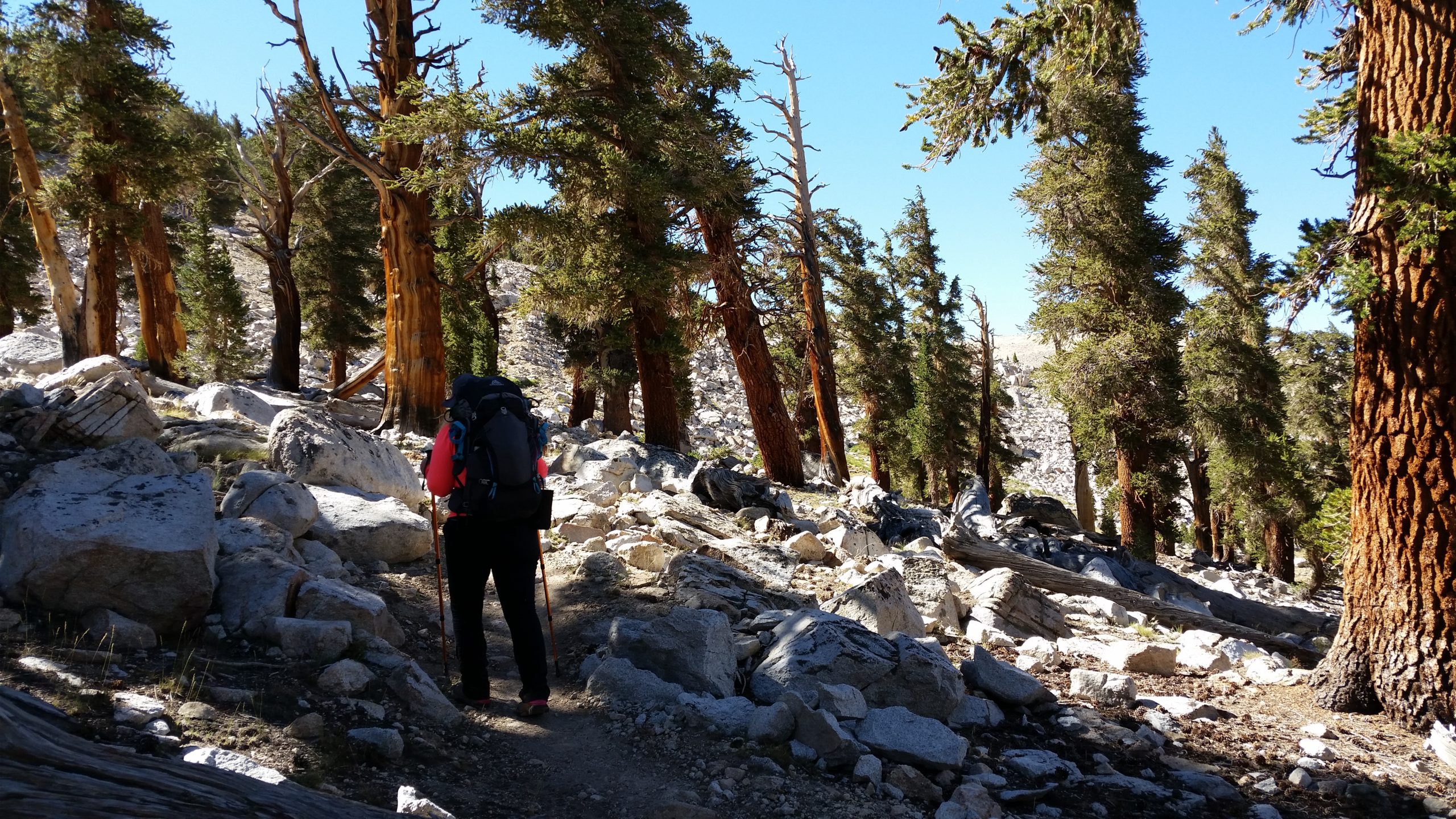
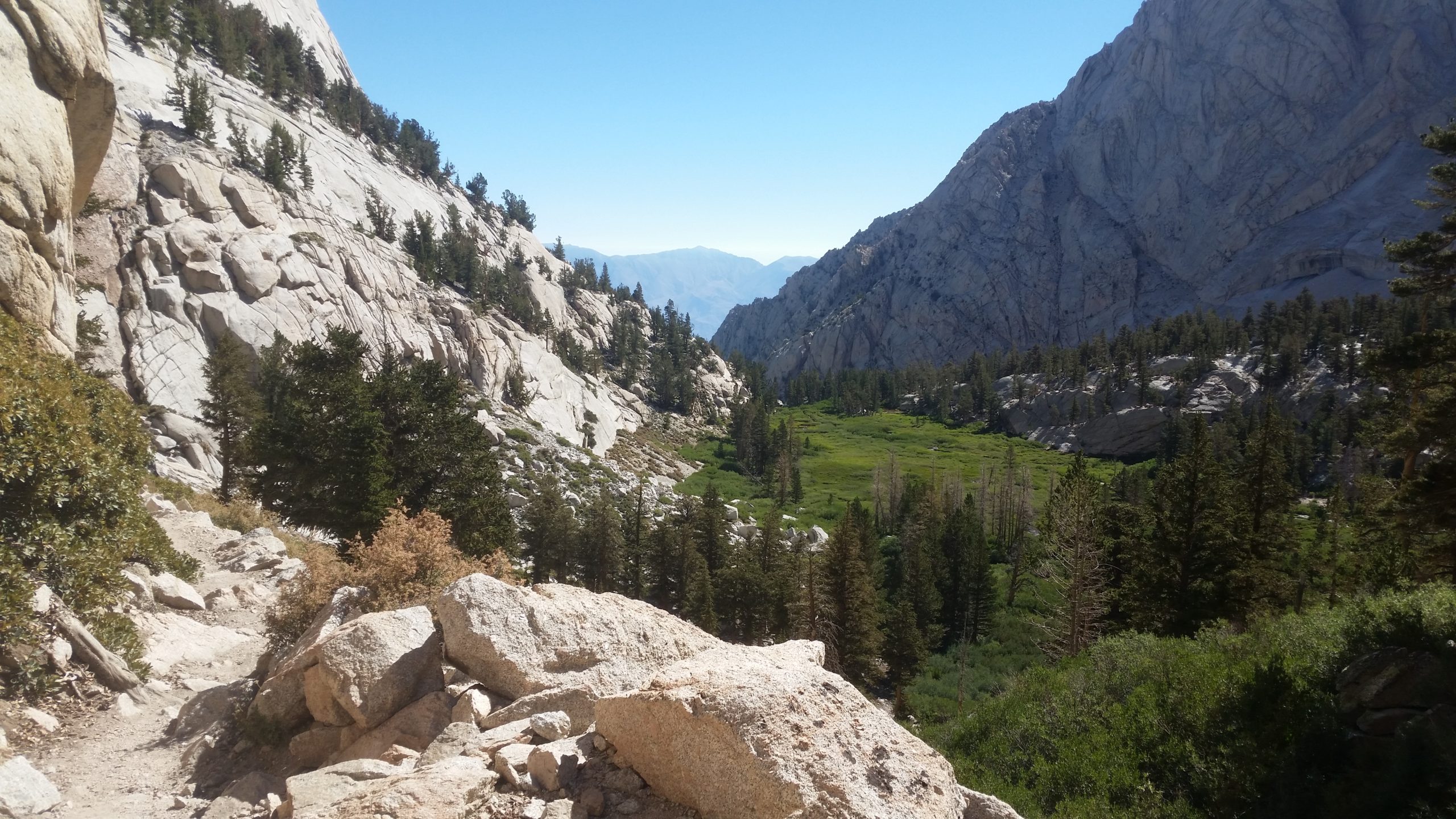
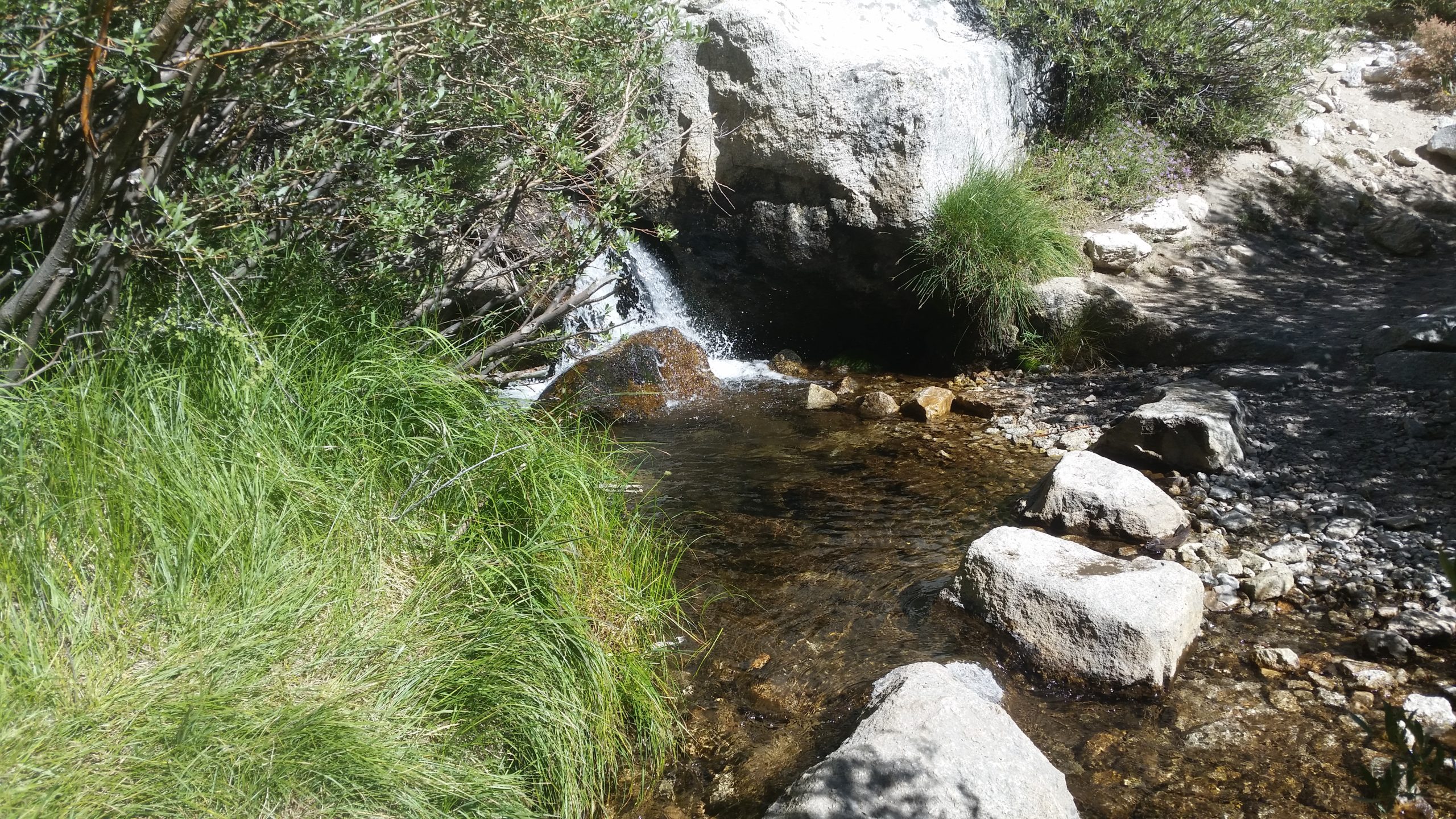
Our knees are sore and the trail keeps going on forever. We pass a few beautiful lakes and many connecting streams, as the biome changes from barren alpine rock to trees and greenery. It really is nice to be back in the trees and to have some packed dirt under our feet.
It’s darn near impossible to get lost here (yet people do) because the trail is very worn and it’s well-signed at any junctions. The temps get hotter as we get lower into the valley. It’s about a 4000′ descent in 6.5 miles, so you start cold and end up hot and sweaty by the time you’re at the bottom. The good thing is that there is plenty of filterable watersources all along the way, so you never need to carry much water at one time. Maybe a liter.
We get to Whitney Portal, and I don’t even stop to take a picture of the sign. We get to the store and order that big greasy bacon cheeseburger and huge plate of fries, and I had 3 cans of soda after that, and 2 ice cream sandwiches. No regrets after eating cardboard for the past 6 days.
We catch our on-time shuttle (Paul is the best) and get taken back to the truck waiting up at Onion Valley. We drive to Mammoth Lakes and check into our motel. After a shower and a nap, we get up and head into town for 2 consecutive dinners which we ate all of.


