Interactive Map – how to use
On a PC, drag the map around and zoom in/out. On a mobile device, use 2 fingers to move the map around and to pinch for zoom. Click or tap on a track or a waypoint dot for more details about that feature. Mouse or finger slide over the elevation profile graph and look to see where that point is located on the map as you move along it.
Click the white arrow in the lower right corner of the main map to expand a mini-map that gives reference to the surrounding area around it.
Download this map file for your own use:
Download the tracks and waypoints files in various different formats via clicking the small icons on the top right corner (GPX, GeoJSON, KML, or GeoRSS) and saving to your computer/mobile. GPX format is the most versatile, and has all track and waypoint data. The KML download feature currently is only providing some waypoints, but no track data.
![]()
Mouse over this icon (if visible) in the upper right corner of the map to get an option to select an individual track section for which you’d like to see details, or to see it on the elevation profile graph below the map. (for maps with multiple tracks only)
![]()
Date: October 22, 2017
Distance: 15.4 miles
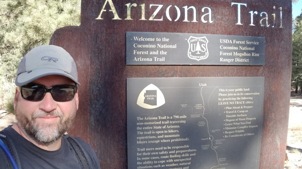
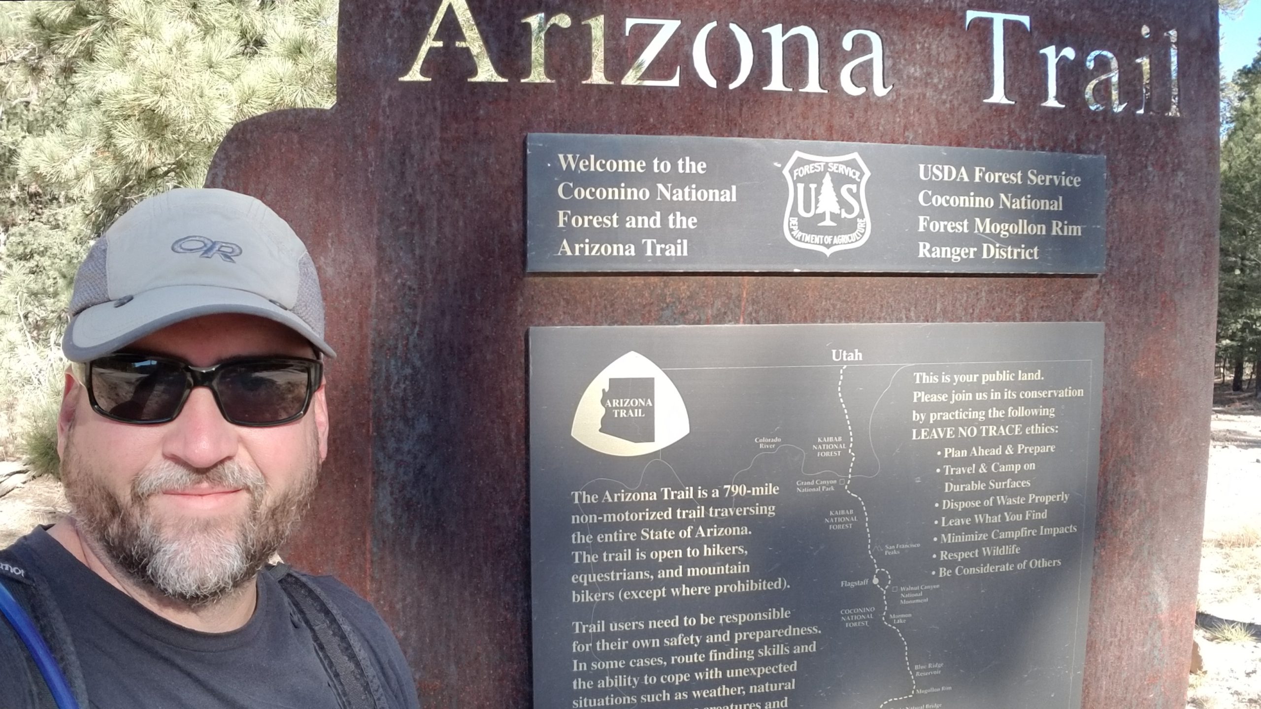
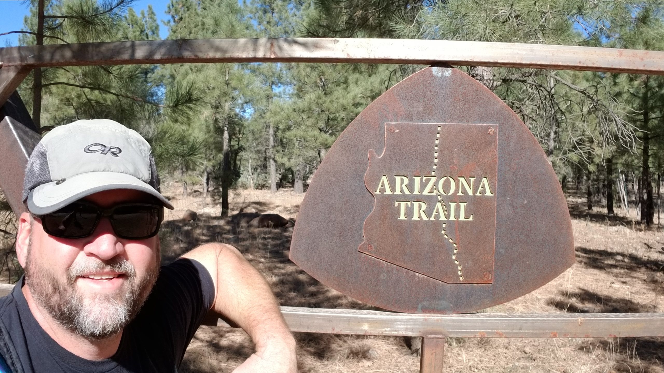
My third completed section of the Arizona Trail was Passage #27. This 1-day hike starts at the trailhead near General Springs Cabin on the FR300 at the Mogollon Rim and heads North past East Clear Creek and past Blue Ridge Reservoir where it then finishes at Highway 87.
This map shows the file statistics from the Arizona Trail official website, not actual miles hiked. Google Earth occasionally misrepresents actual trail lengths.
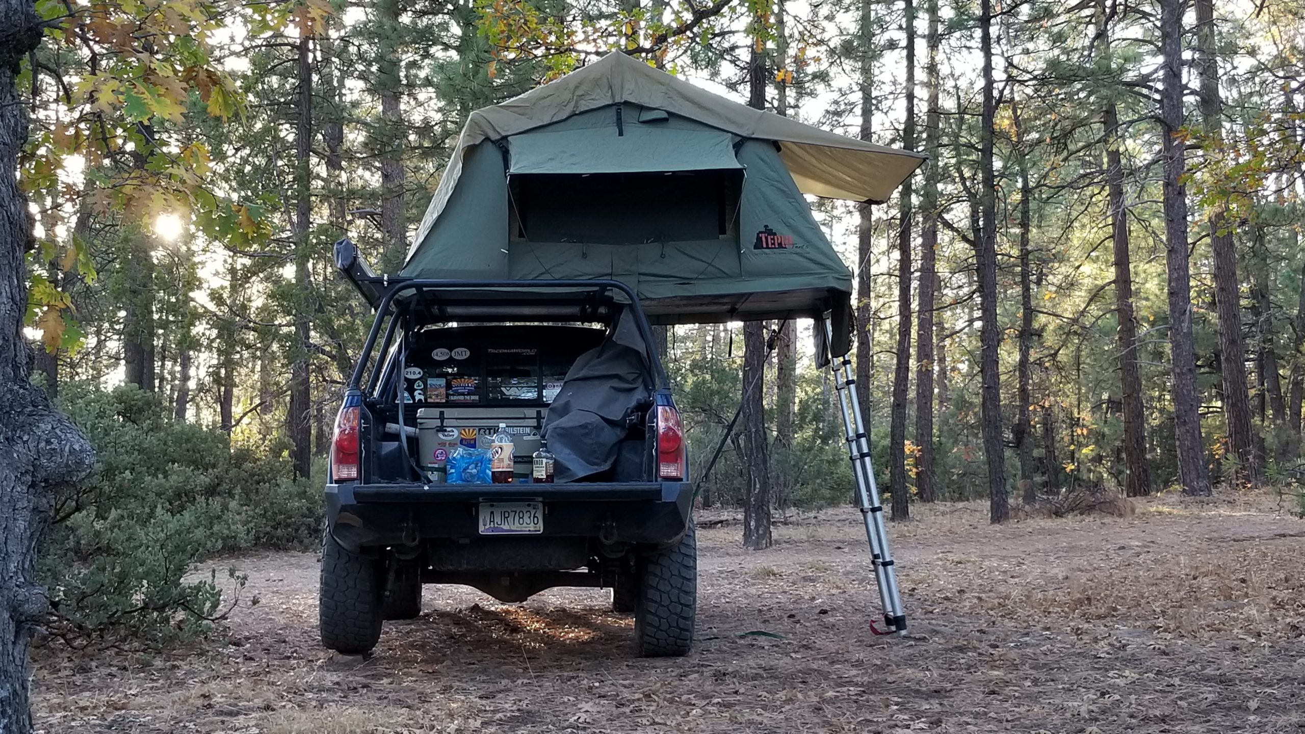
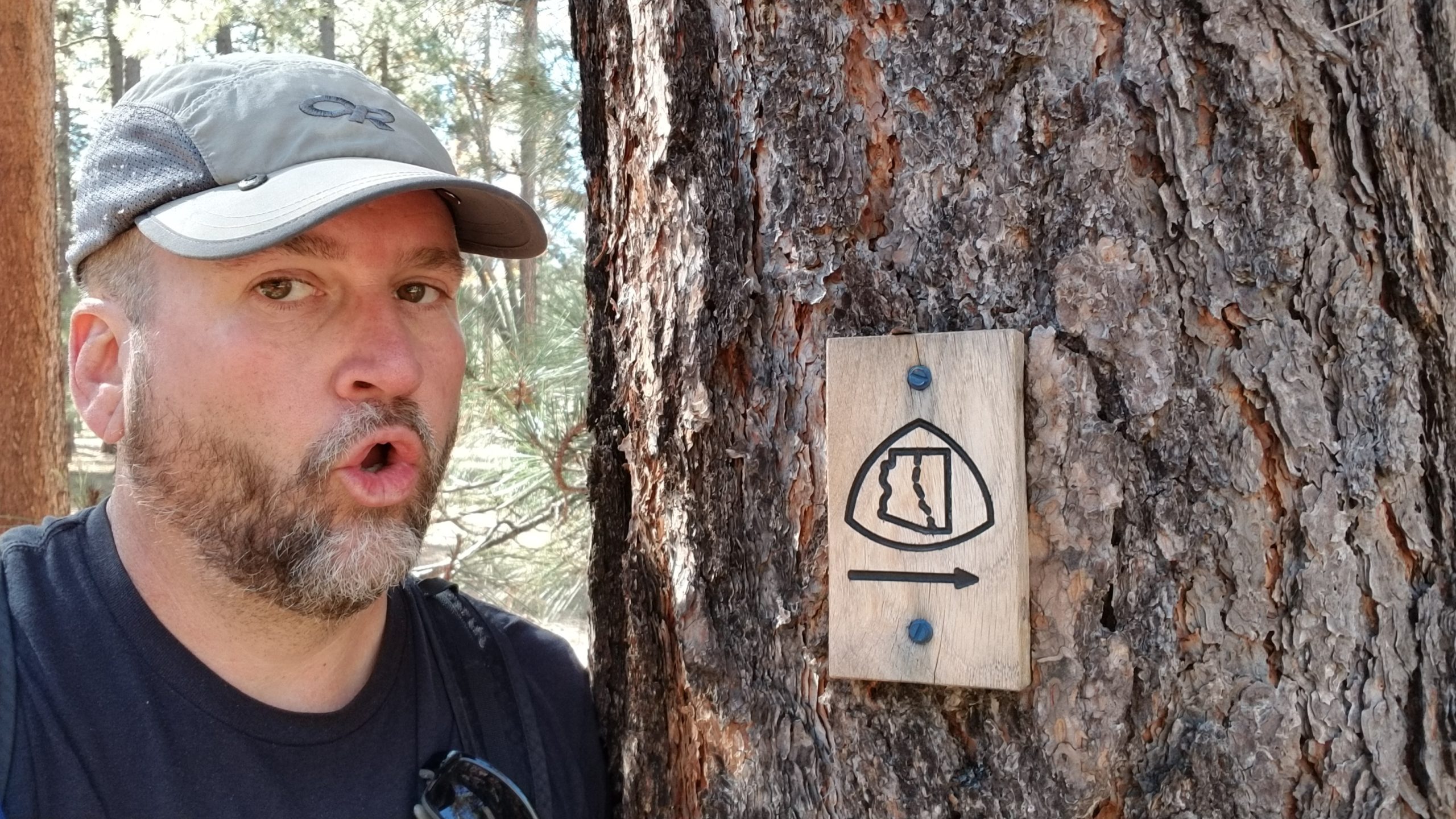
Joining with Patrick Fuchs yet again for another passage on the Arizona Trail, we decided that this one was short enough to make as a single-day hike. I’m always happy to get a break from the full backpack and go with the small summit bag with just the bare necessities. The plan was to camp near the trailhead on Saturday night, and do the entire passage on Sunday. I met Patrick on Saturday afternoon at our finishing trailhead so we could leave his car there, and we also dropped off 3 liters of water and his can of iced coffee at a spot where the AZT crosses a forest service road. This was our safety reserve in case we ran dry in the first 10 miles.
Later that afternoon, we joined with Jason Smyer and Nick Nanez, two friends who were already camping up on the Mogollon Rim above Strawberry. We car camped and had some fun that night, getting some drone footage of us all standing on the edge of the Rim. We ate good food, had a few beverages, and went to sleep.
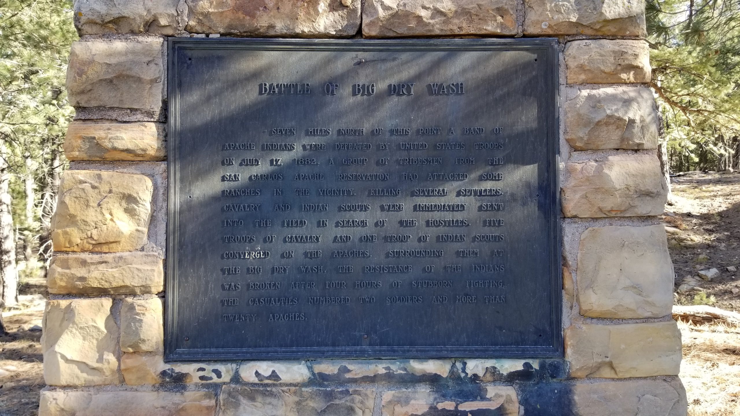
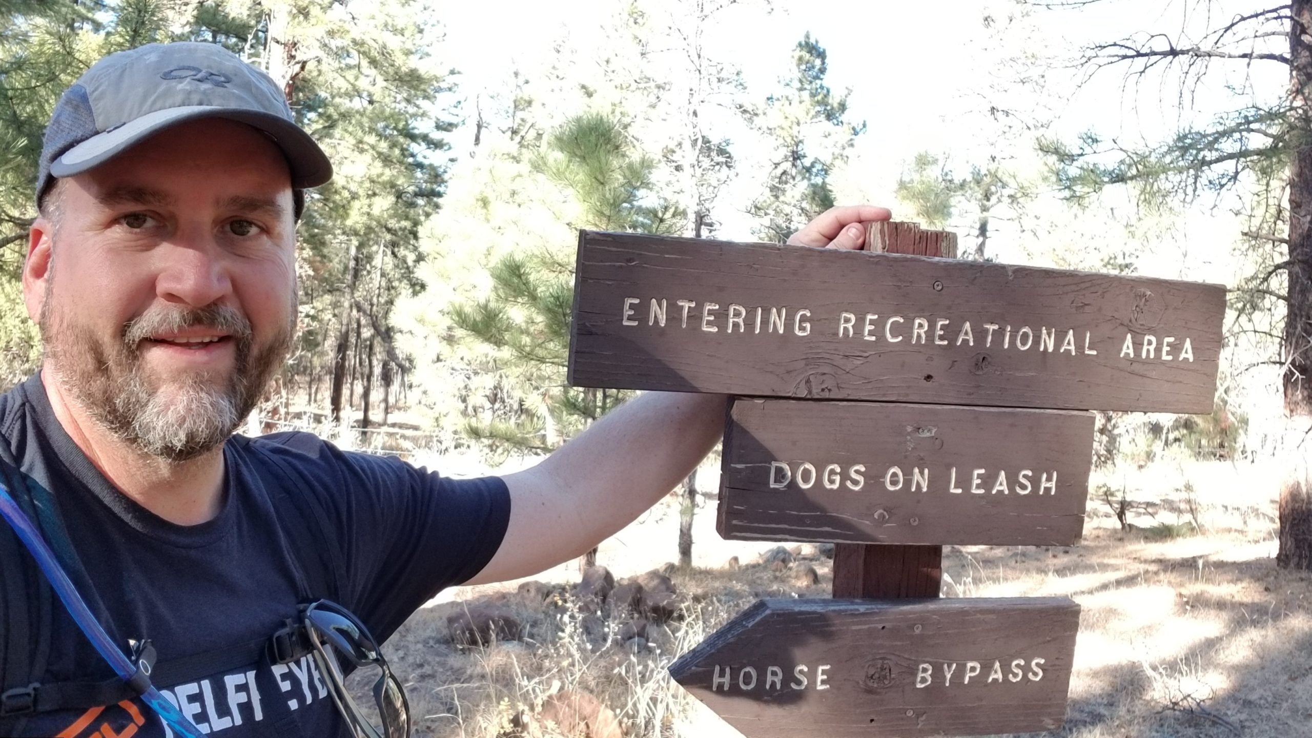
We got a bit of a late start on Sunday morning (thanks to me), and didn’t get to the trailhead until 9am. At the trailhead, there’s a plaque memorializing the Battle of Big Dry Wash. Jason and Nick didn’t have time to hike with us for the entire trail, so they gave us a ride to the trailhead and did their own hike down to the abandoned railroad tunnel that Patrick and I checked out the previous weekend.
Patrick had a last-minute addition to our hiking group (Lauren Krill) who joined up with us that morning. We had some miscommunication and just missed meeting with Lauren at the Hwy 87 / FR300 junction, so she was going to meet us at the trailhead instead. Patrick is a fast hiker, so I set out solo to get a head-start while he waited for Lauren to show up. They would catch up with me later.
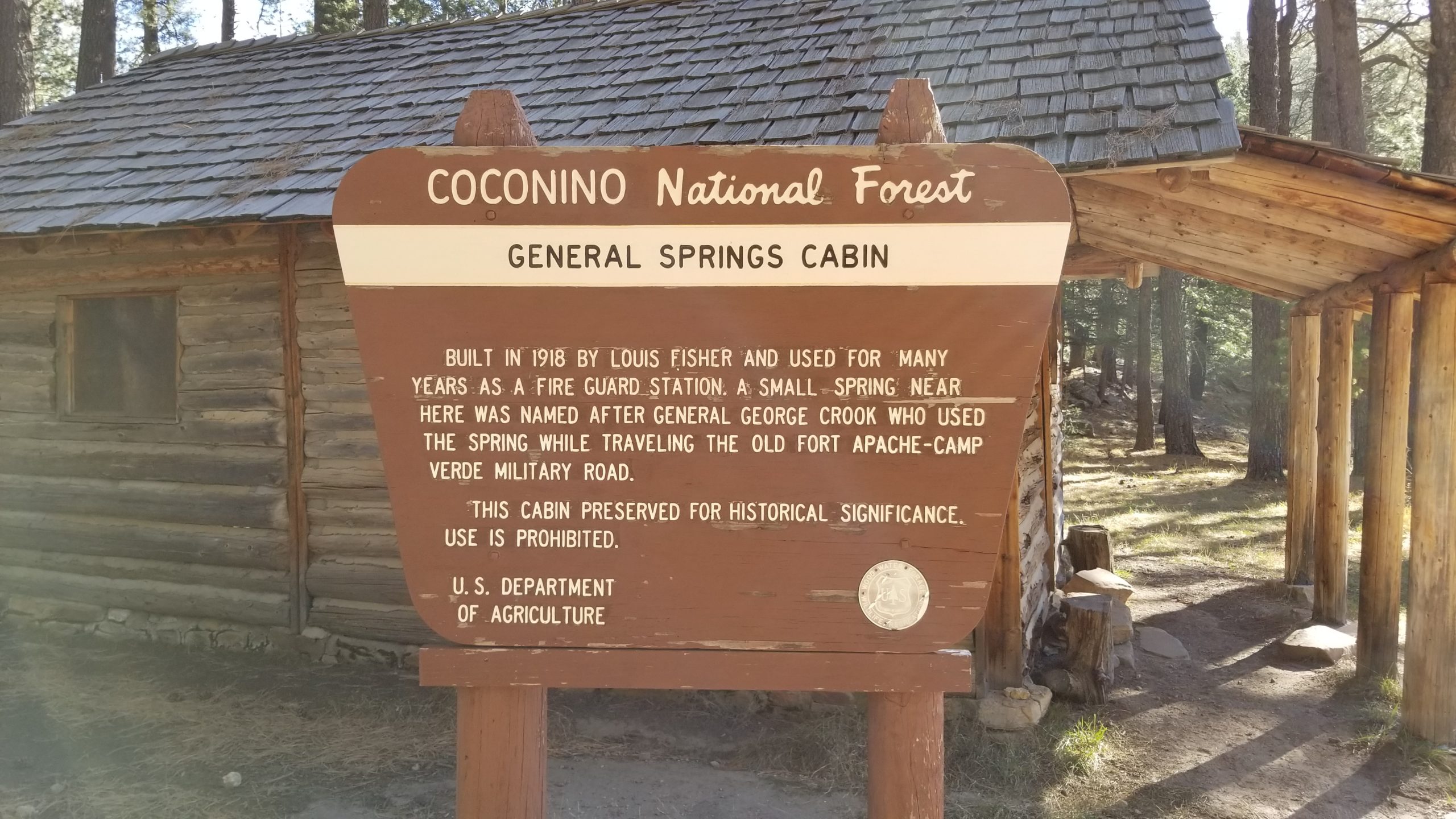
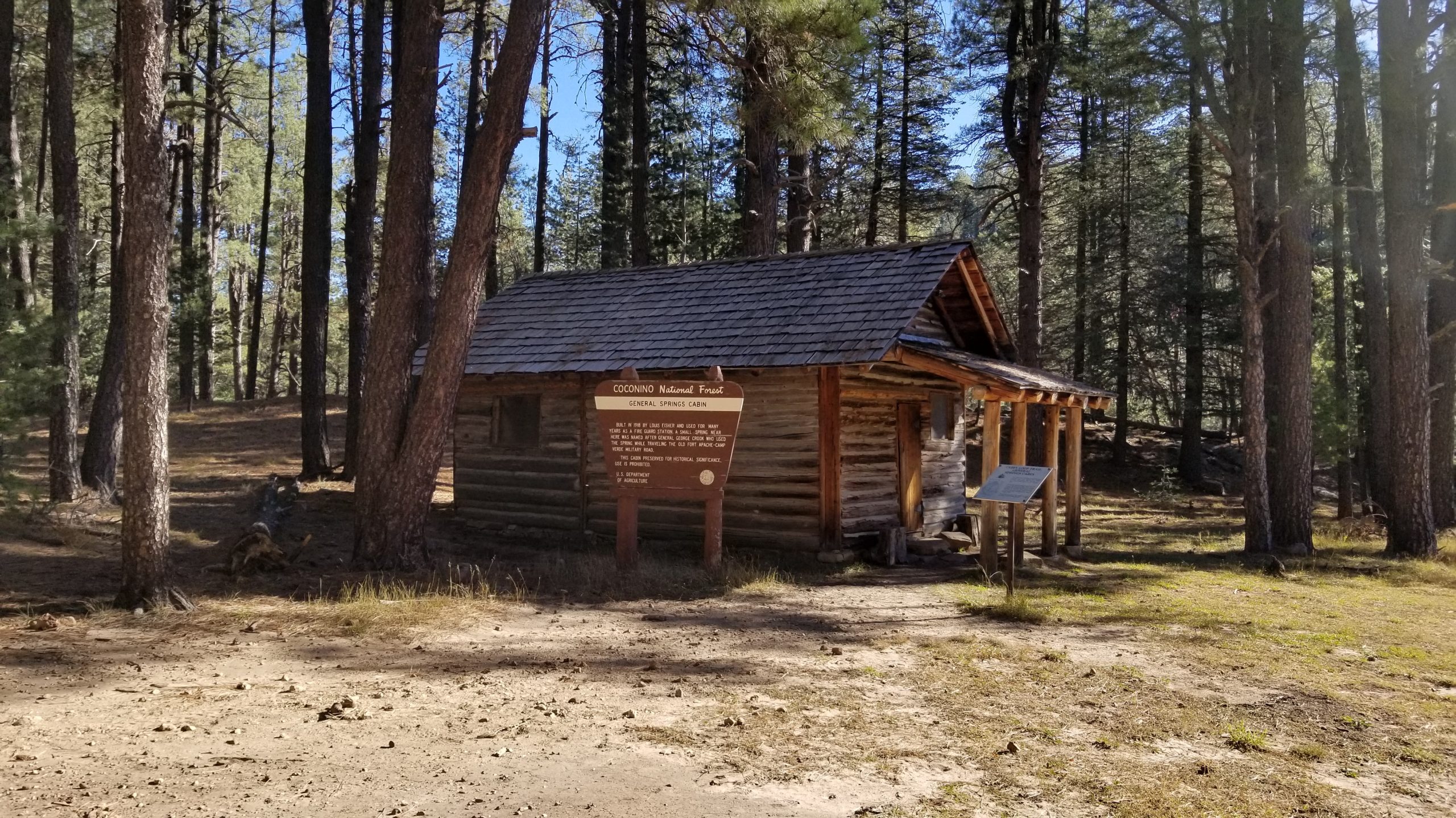
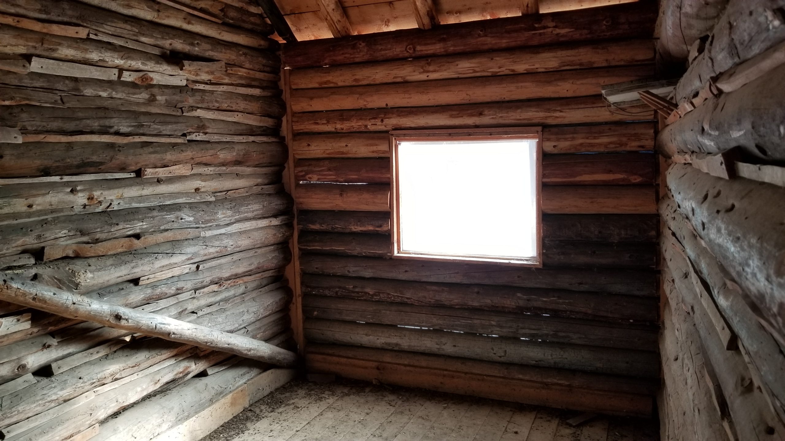
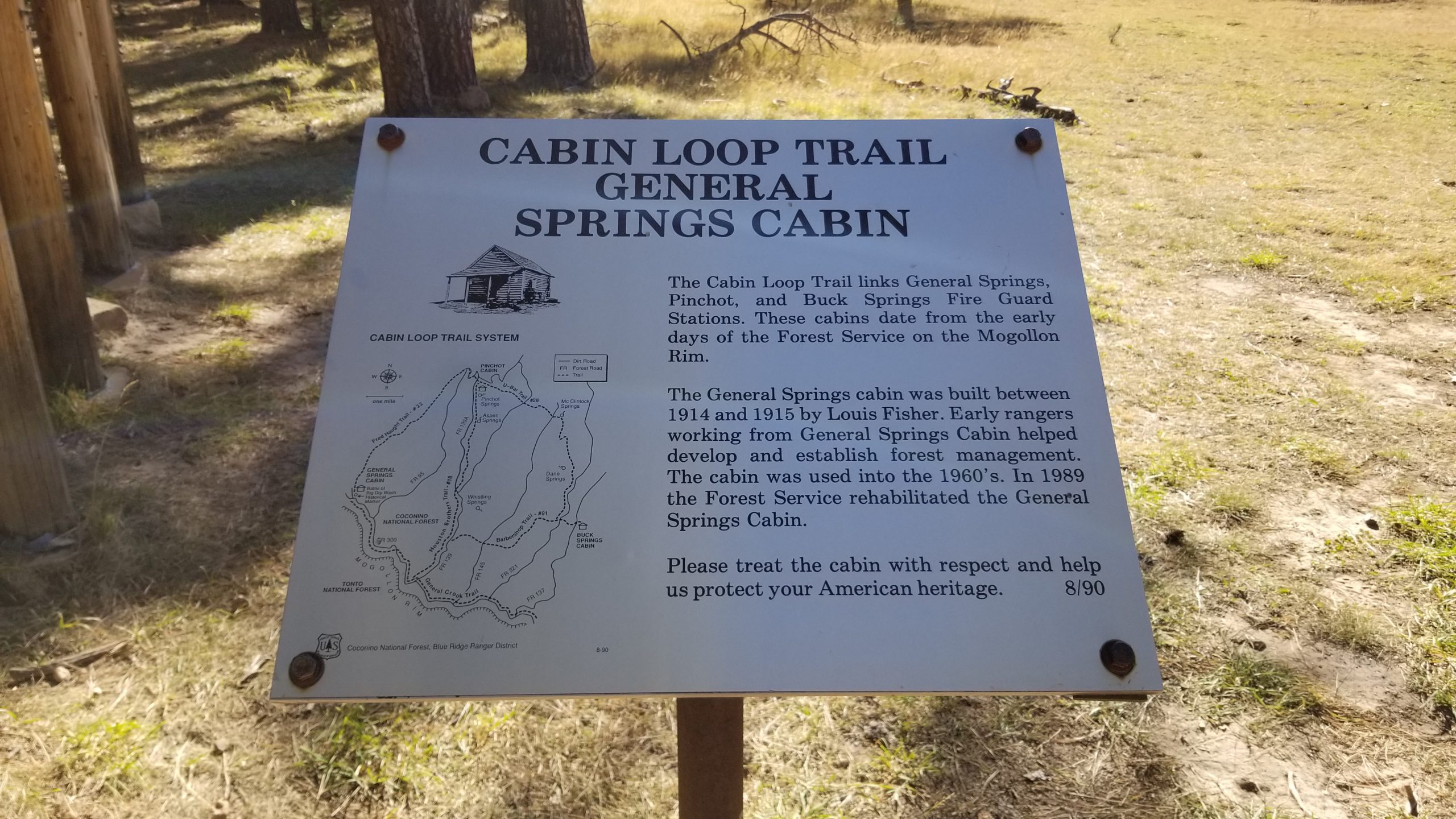
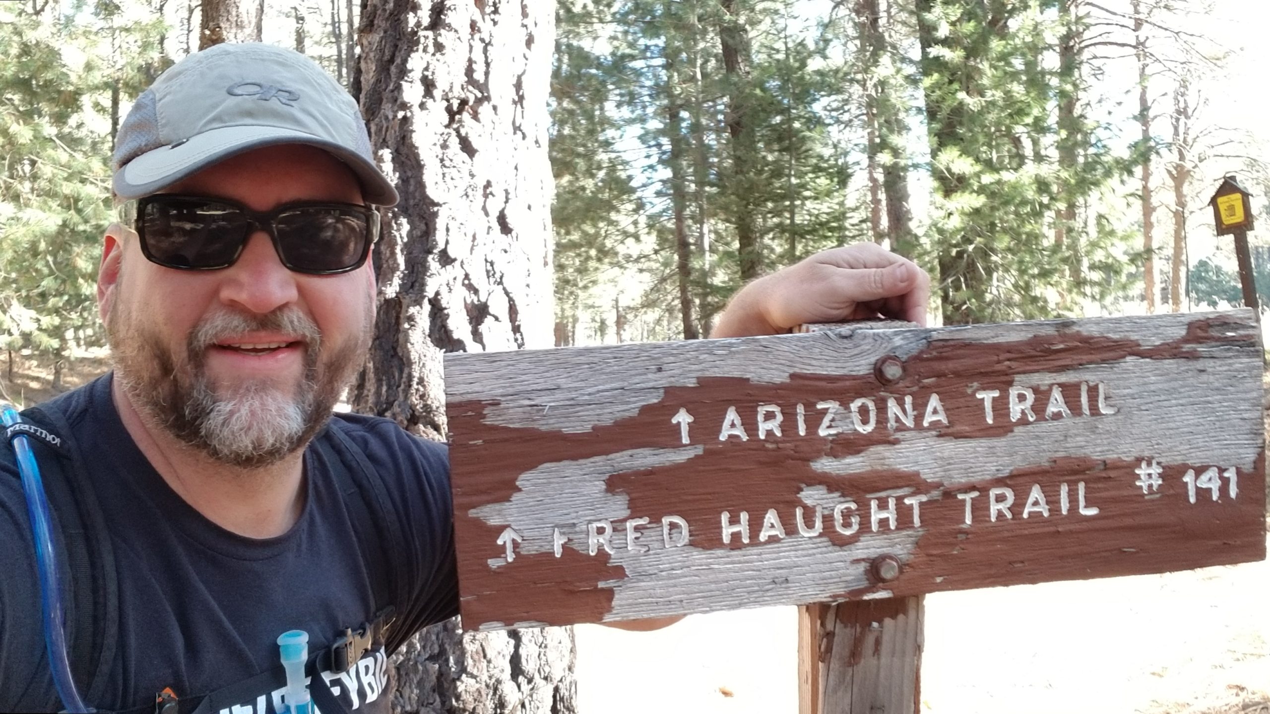
Within .3 miles, I came across the historic General Springs Cabin. Built in 1918, this old cabin was used for many years as a fire guard station. It was constructed conveniently next to a spring, which General Crook used while traveling the Old Fort Apache-Camp Verde military road. It is in surprisingly decent shape with the walls and roof virtually 100% intact, and the interior was clean and still holding up to the test of time. Using the cabin is prohibited, but this would make a fantastic 2-room shelter if absolutely necessary.
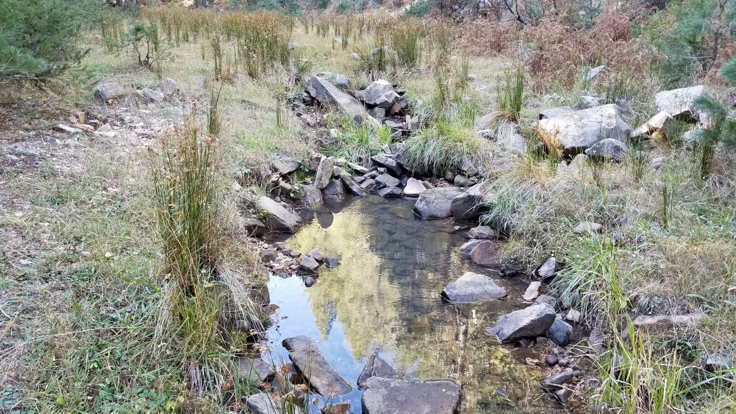
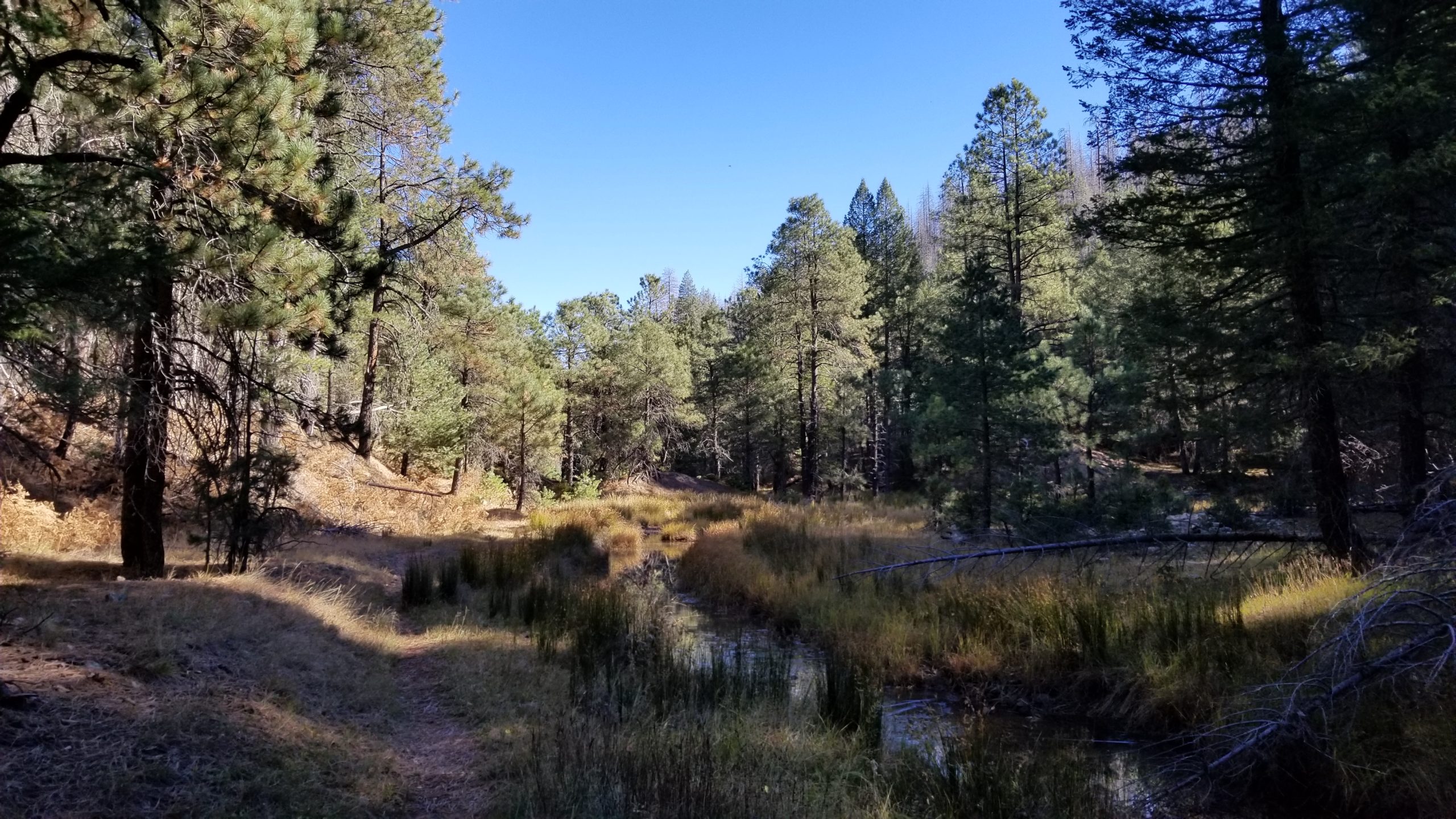
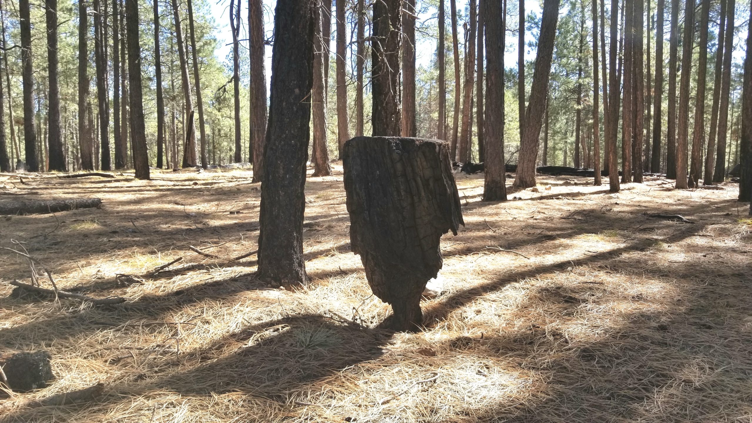
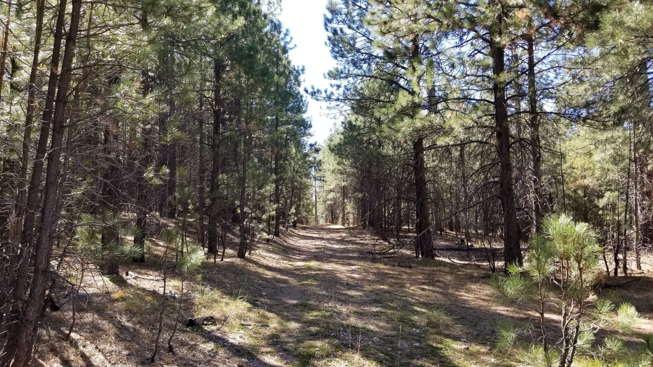
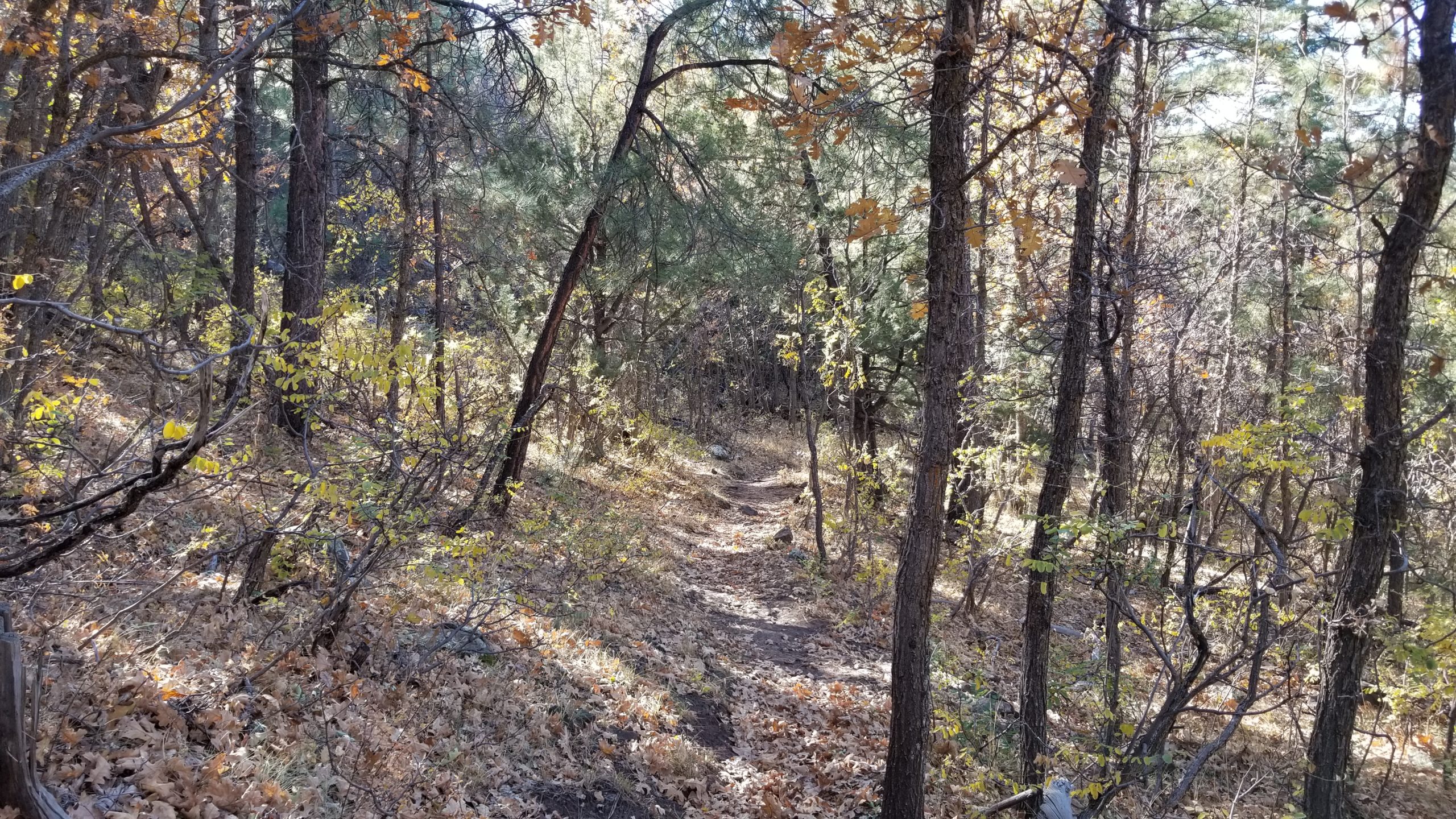
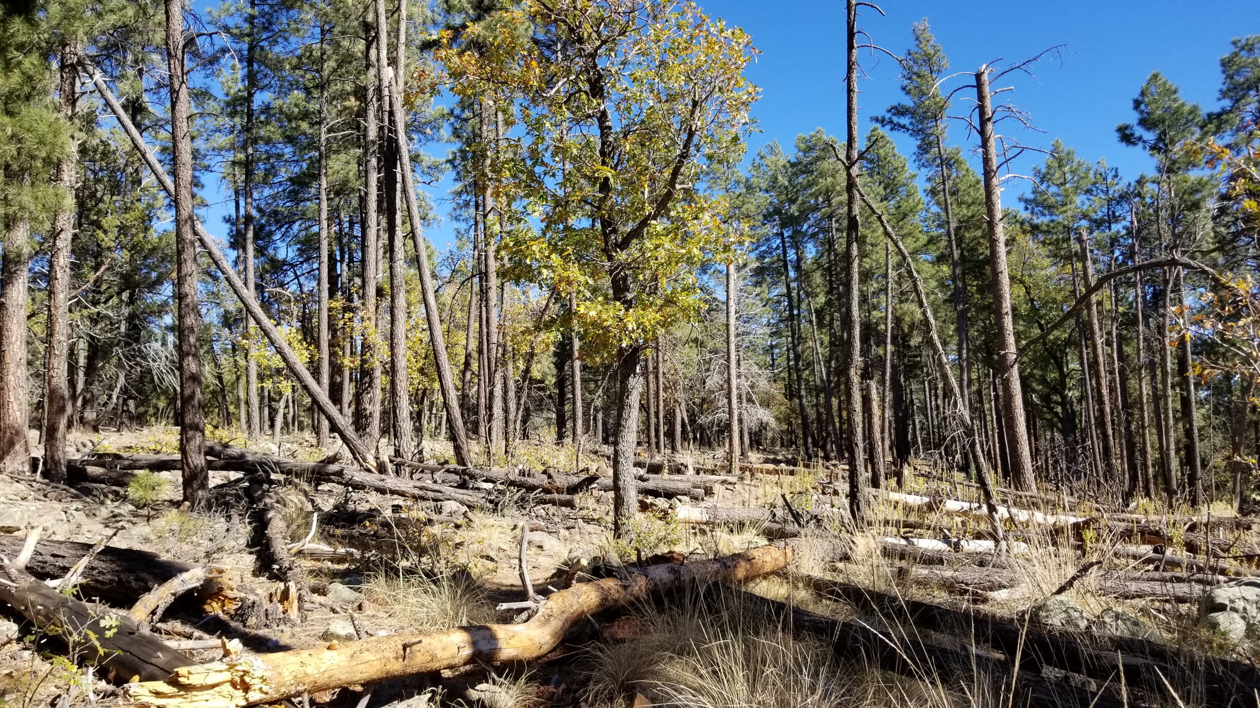
Moving north, this passage follows the Fred Haught Trail for the first couple of miles along the creekbed where water was trickling but plentiful enough to filter from. I was carrying 4 liters for the first 10 mile stretch, so I didn’t bother topping off. This section of the trail is very scenic, staying shaded by Ponderosas and some Oak trees along the way before it splits off to the west and leaves the Fred Haught Trail.
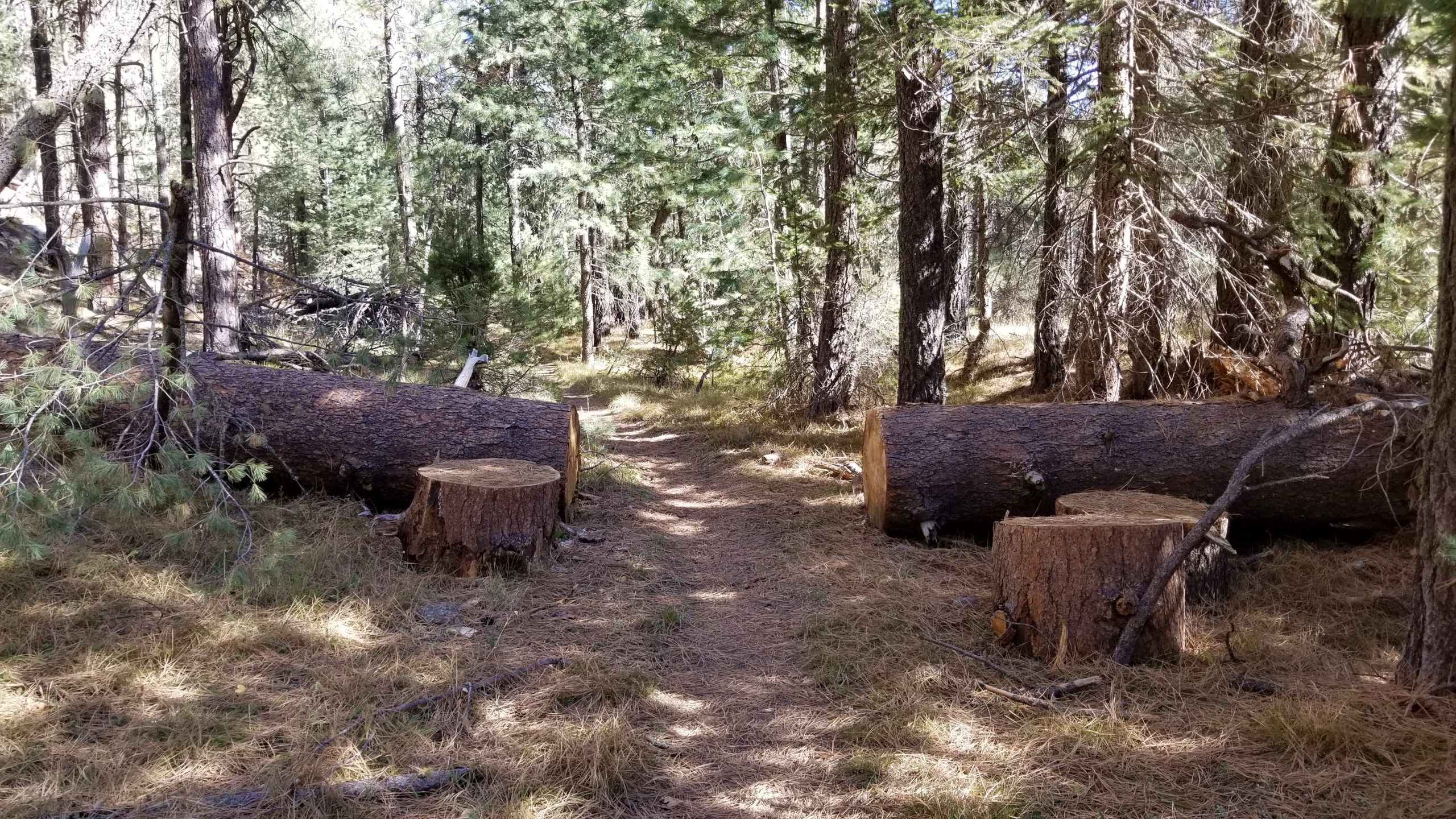
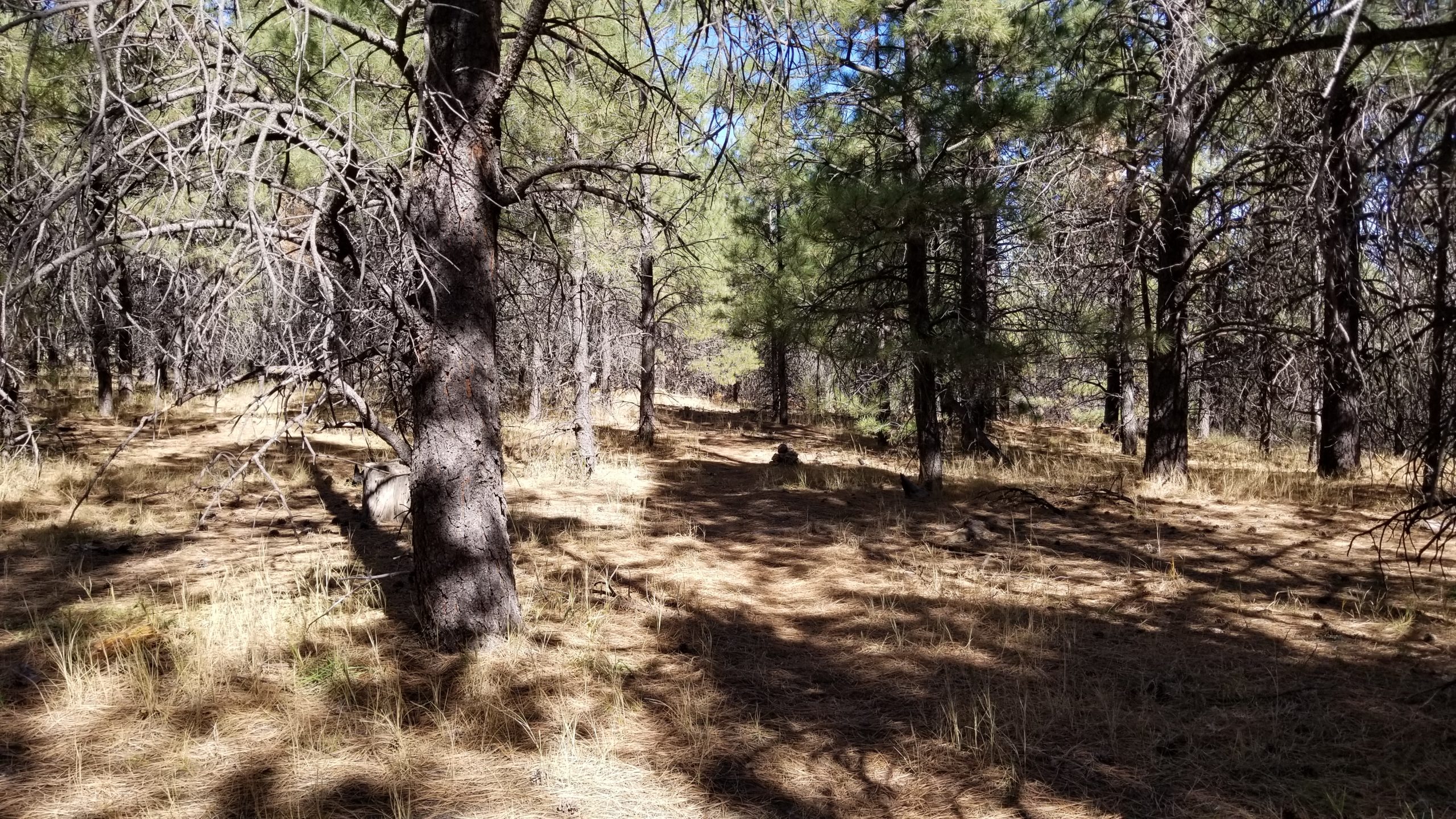
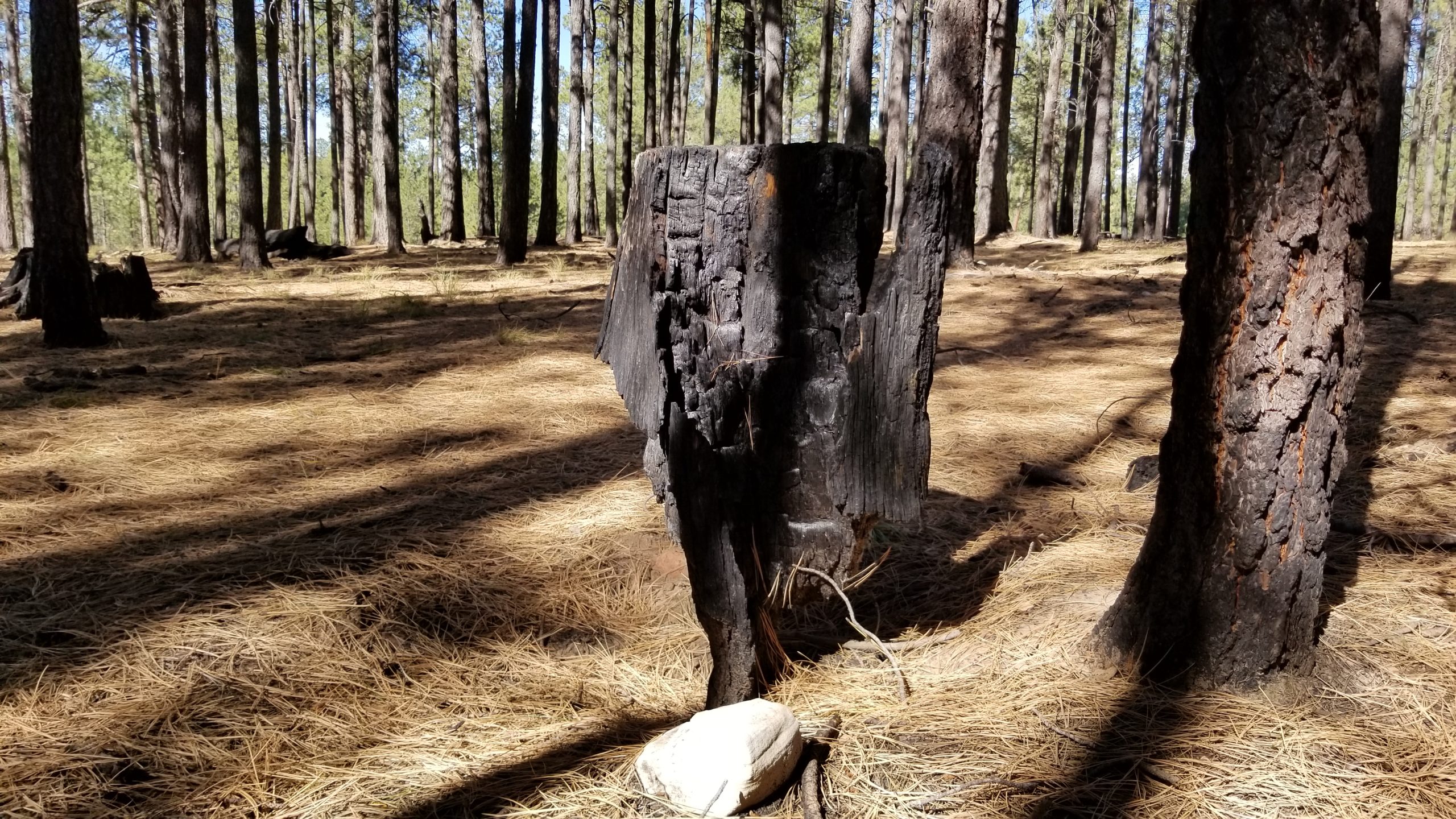
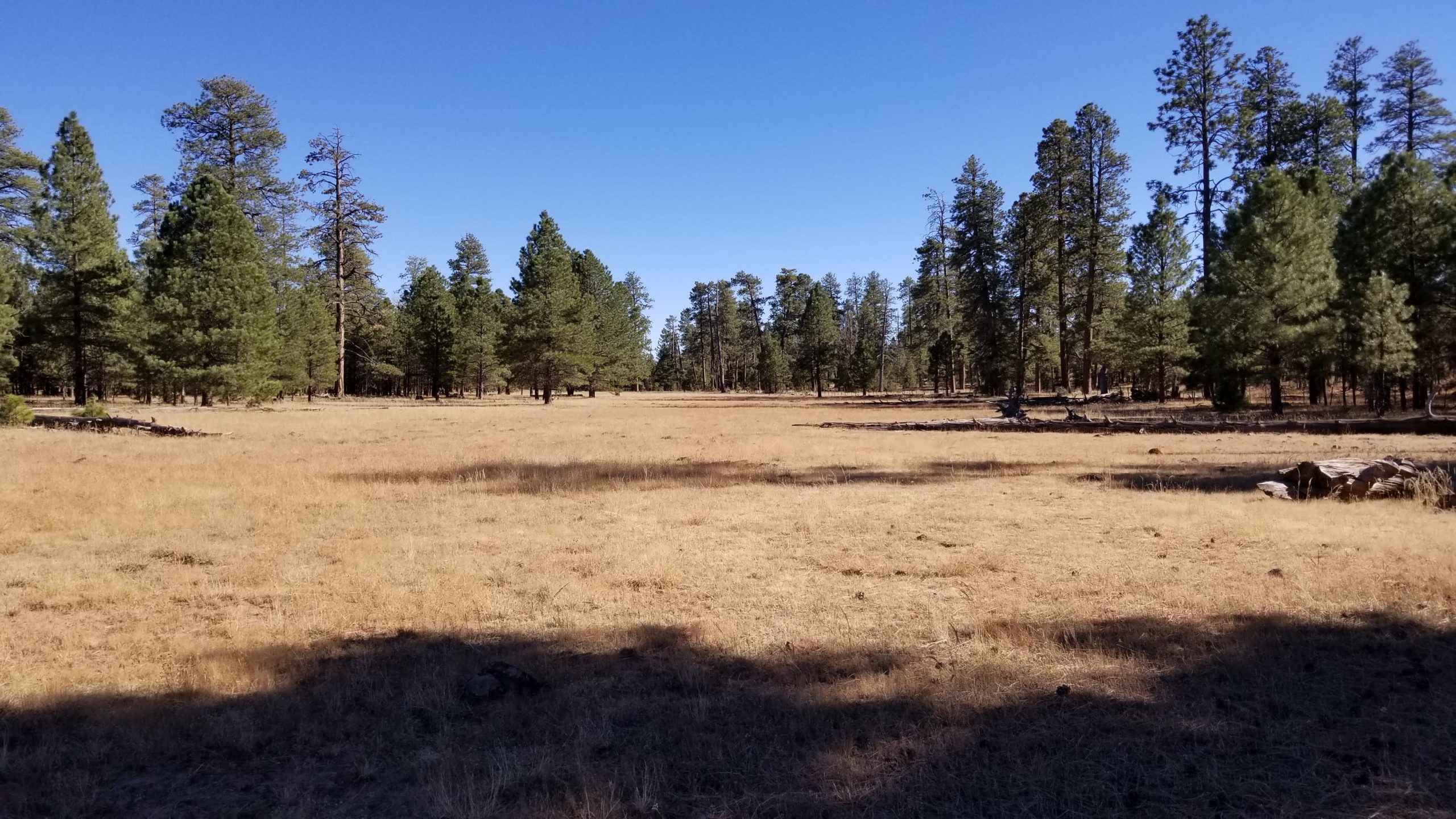
After the split from Fred Haught Trail, the terrain flattens out for the most part and wanders through easy stretches of forest. The trail is easy to follow on this passage, and miles are easily conquered through here. Along the way, I passed through a small burn area and then into a clearing that had one of the largest Ponderosas I’ve ever seen.
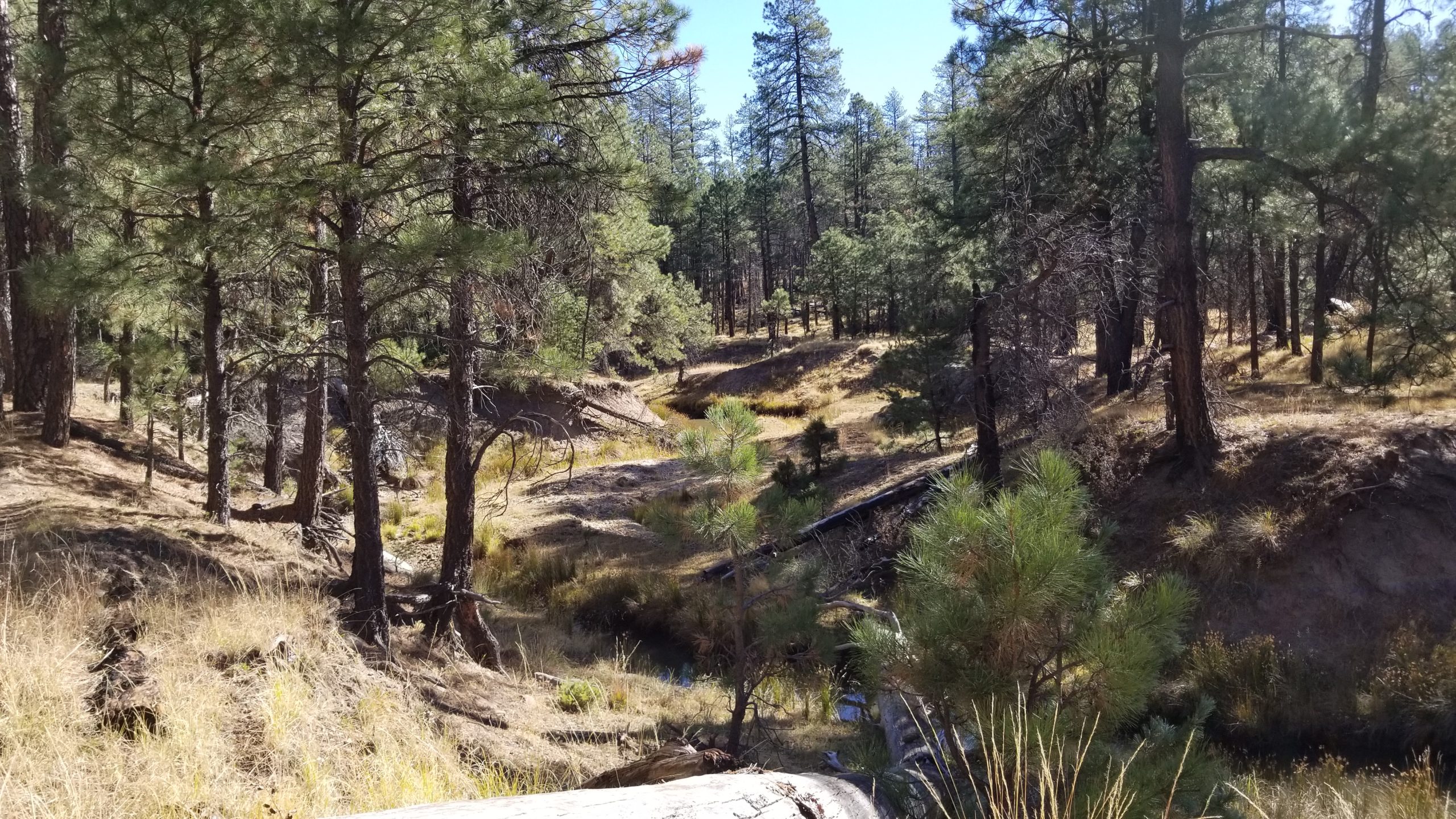
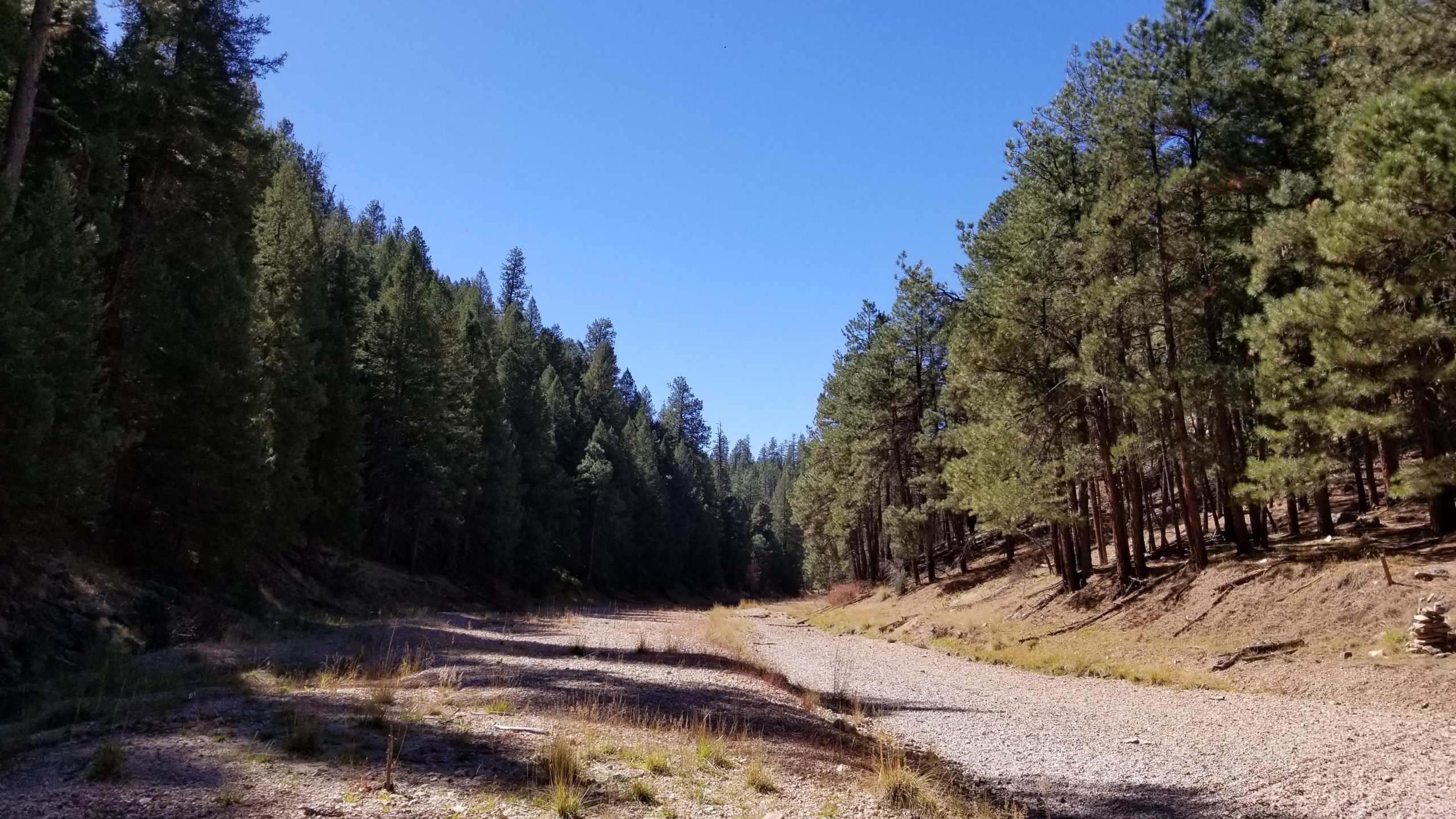
About 8 miles in, I took a short break and that’s when Patrick and Lauren caught up with me. They were flying, so I jumped on the train and off we went. Within about a mile, we had a 700′ drop into the canyon where East Clear Creek feeds into Blue Ridge Reservoir. This crossing was completely dry, but I was surprised at how wide this spot was. In the spring, this would be a very wet crossing across smooth river rocks, but probably not much more than knee-deep.
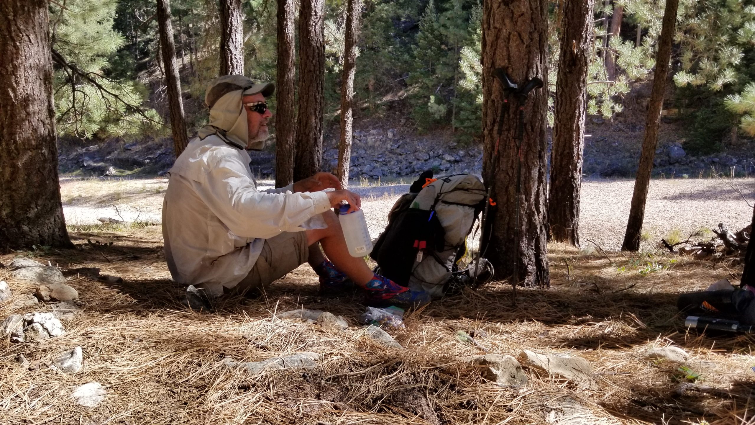
We crossed the riverbed and started our ascent up the other side of the canyon when we stopped to take a lunch break. Not long after sitting down, a true Arizona Trail thru-hiker was coming southbound and stopped to chat with us. We all sat and had lunch together and shared stories of the AZT and other adventures. “Happy Hour” was his trail name, and he was a very friendly guy. Patrick gave him a little extra water so he could make it to the next source, and Lauren gave him some of her extra vegetables. His eyes lit up and he thanked them for the trail magic. Happy Hour has already done the entire AZT from Sunflower to the Mexican border, and he was doing a flip-flop this month, having started on the Utah border just a couple of weeks before we ran into him. Only a few days left and he was going to complete the entire 800 miles of the AZT. By the time I finished this write-up, he had finished the entire trail. Congrats, brother!
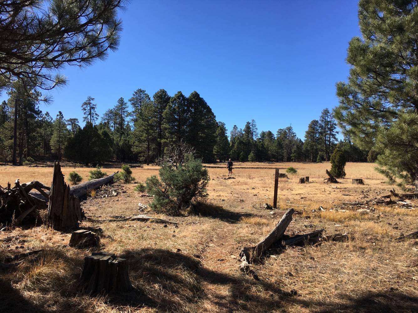
We say goodbye to Happy Hour after lunch, and head on up the trail. That 700′ climb back up the north side of the canyon goes fast, and we’re happy to be back on flat ground again so we can finish the day. The trees thinned out just a little in this section, giving way to an area of considerable deadfall and also a huge dry meadow. In this section, we come across our water cache and I load up with an extra liter. Patrick enjoys his iced coffee, and I leave the other 2 liters of water in the trail register box for the next thirsty hiker. 4 miles to go.
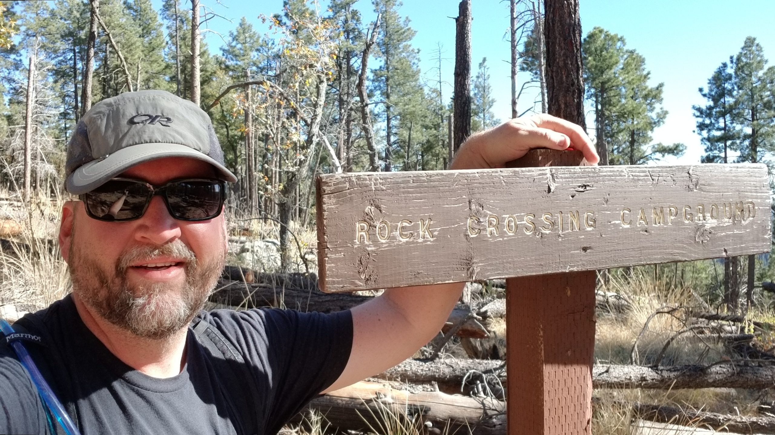
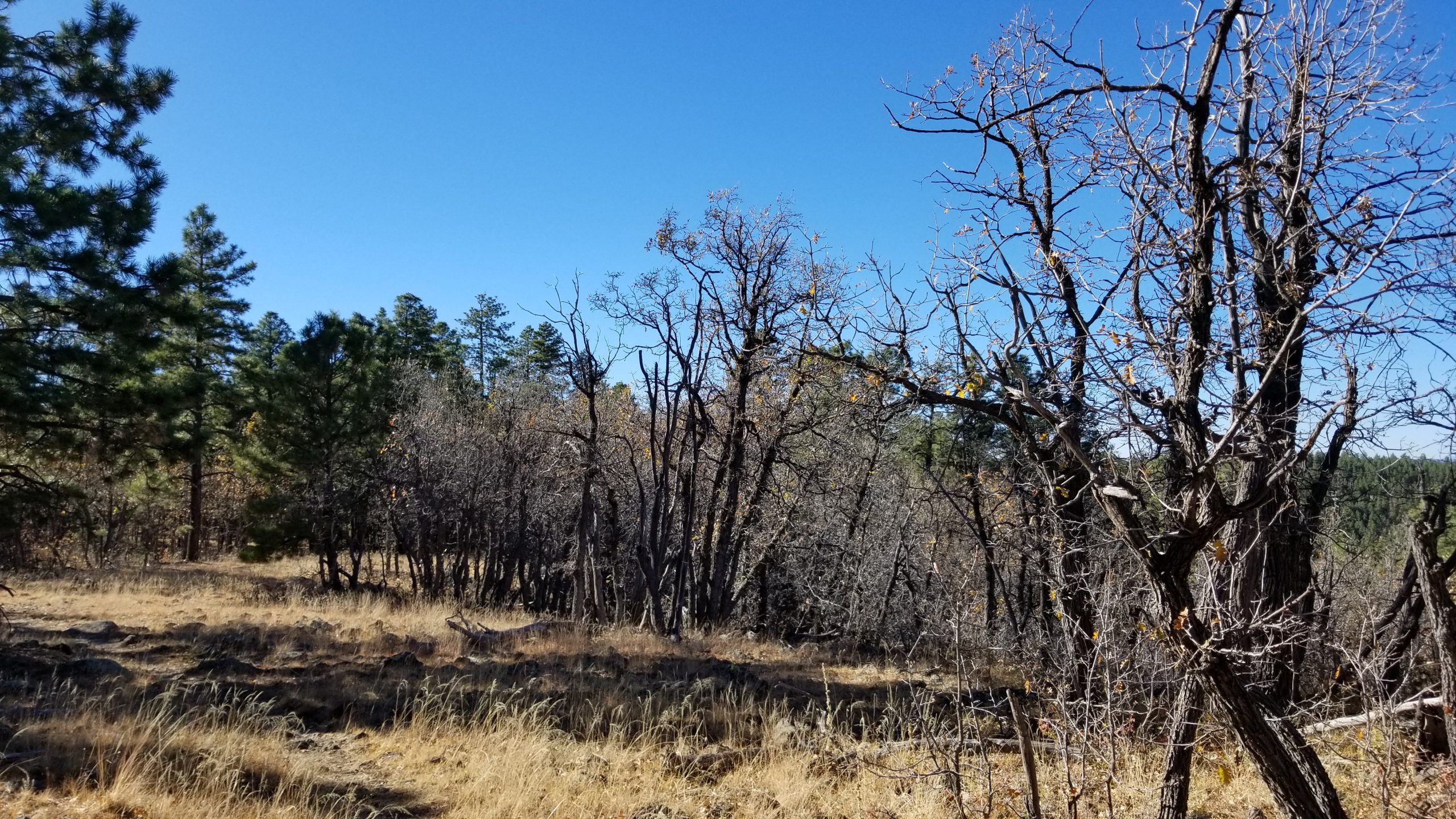
We blast through the last 4 miles, going mostly through Oak forest. After crossing a ridge with some creepy dead-looking Oak trees, we drop down into the Blue Ridge and Moqui campground areas. Blue Ridge Campground is very well maintained, but the bathrooms were locked and the water spigot handle had been removed. I’m glad we stashed water and didn’t have to rely on that spigot! The Oak leaves littered the forest floor and covered much of the last downhill section of the trail, but there were still some pops of yellow leaves left behind on the trees. We breeze through the final mile and get to Patrick’s car.
Patrick drops me off at my truck on the 87/300 junction, and takes Lauren down the 300 back to her car at the trailhead. I head home on the 260 through Camp Verde and get lucky with zero traffic on the I-17 back to Phoenix, feeling happy about hiking 15.4 miles in 6.5 hours.