Interactive Map – how to use
On a PC, drag the map around and zoom in/out. On a mobile device, use 2 fingers to move the map around and to pinch for zoom. Click or tap on a track or a waypoint dot for more details about that feature. Mouse or finger slide over the elevation profile graph and look to see where that point is located on the map as you move along it.
Click the white arrow in the lower right corner of the main map to expand a mini-map that gives reference to the surrounding area around it.
Download this map file for your own use:
Download the tracks and waypoints files in various different formats via clicking the small icons on the top right corner (GPX, GeoJSON, KML, or GeoRSS) and saving to your computer/mobile. GPX format is the most versatile, and has all track and waypoint data. The KML download feature currently is only providing some waypoints, but no track data.
![]()
Mouse over this icon (if visible) in the upper right corner of the map to get an option to select an individual track section for which you’d like to see details, or to see it on the elevation profile graph below the map. (for maps with multiple tracks only)
![]()
Date: Spring 2018 and 2019 (3 different dates)
Mileage: 14.4
The final section of the BCT was actually done in 3 different trips on 3 different days for me. Here’s why:
- The first 7.3 miles from Big Bug Trailhead I actually did twice – once as a solo in-and-out (7.3 miles to a farm road, then turn around and head back to Big Bug for a total of 14.6 miles)
- The second time, I re-hiked the 7.3 miles from Big Bug to that same farm road with a hiking friend, but kept going until an unnamed wash about 4 miles further ahead. If you cross the wash, you stay on the BCT. But for a fun challenge on this cloudy day, my hiking partner and I then split off-trail here and headed west on a cross-country route-finding expedition to walk to the towns of Dewey-Humboldt, AZ. The total trip was a little over 19 miles, with the first 11.5 miles being actual Black Canyon Trail
- The third attempt (and final successful section) was in Spring of 2019 after I had my stroke in late 2018. This last 3.75 miles of official BCT to the northern terminus had to be done as an in-and-out southbound from the Orme Rd terminus due to logistics and the fact that I had to keep it a relatively short hike for medical reasons. Another hiking friend and I did this 7.5 mile total round-trip hike so I could finally be done with the BCT. Since it was an in-and-out in both southbound and northbound travel, I trimmed my track file to just reflect the northbound segment so I could say that I completed this trail all in a northbound direction.
All in all, I hiked over 34 miles to be able to complete this last official 14.4 miles of the trail. Worth it. Each segment is broken out below so you can do it as an in-and-out hike or a thru-hike with a partner and some car staging. Or, you can split off and blaze your own trail.
First attempt (March 2018):
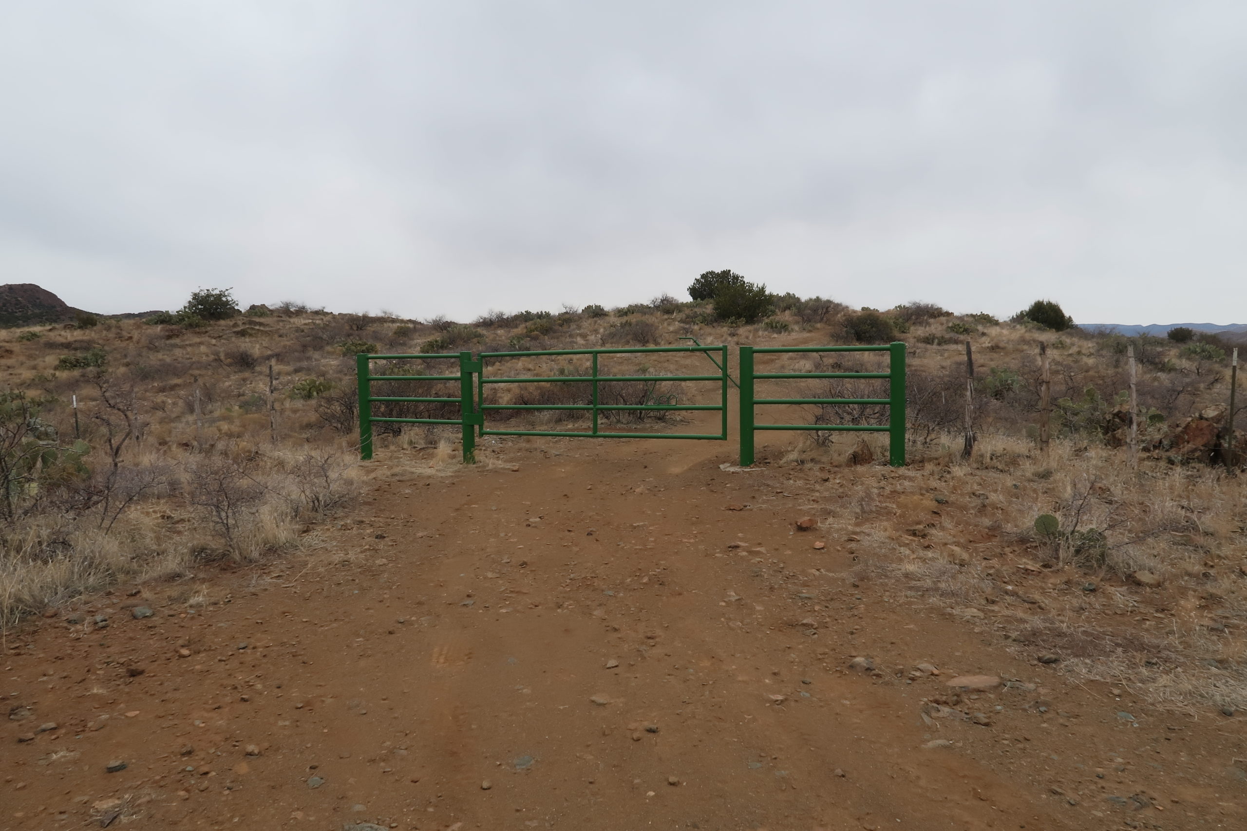
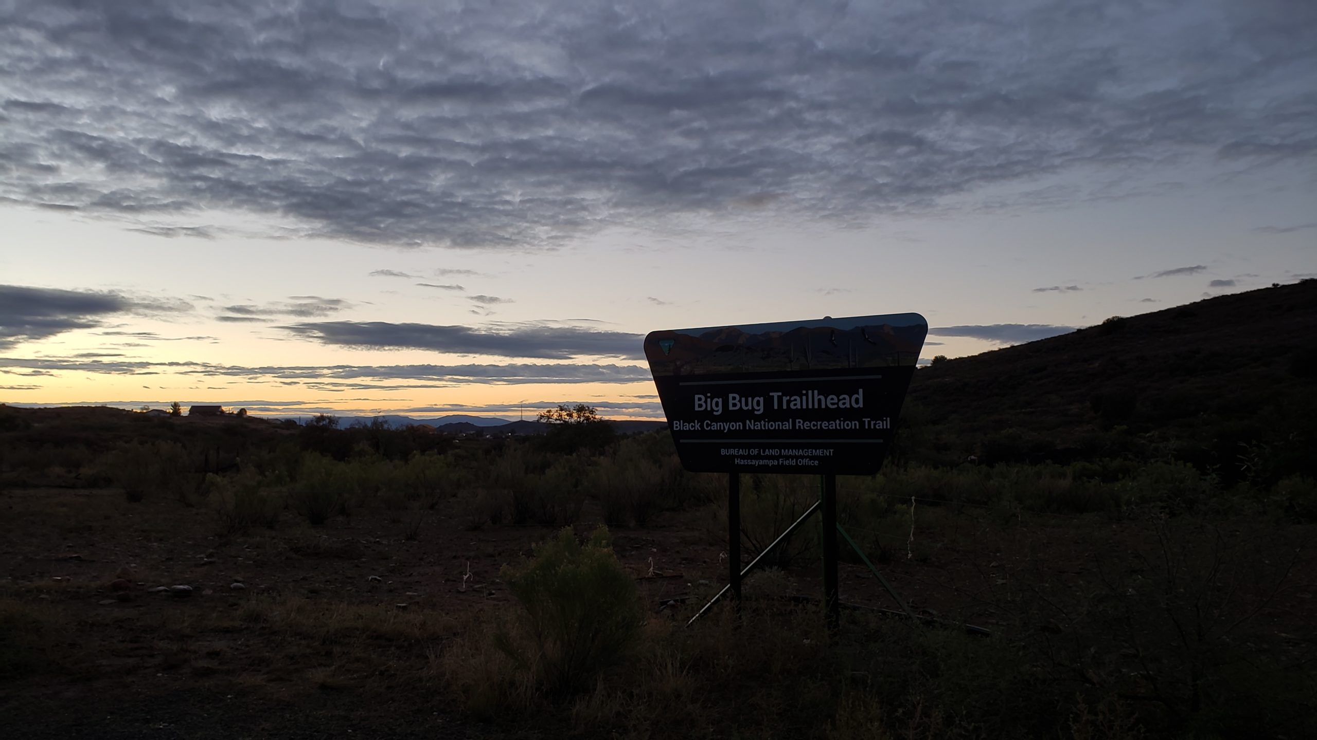
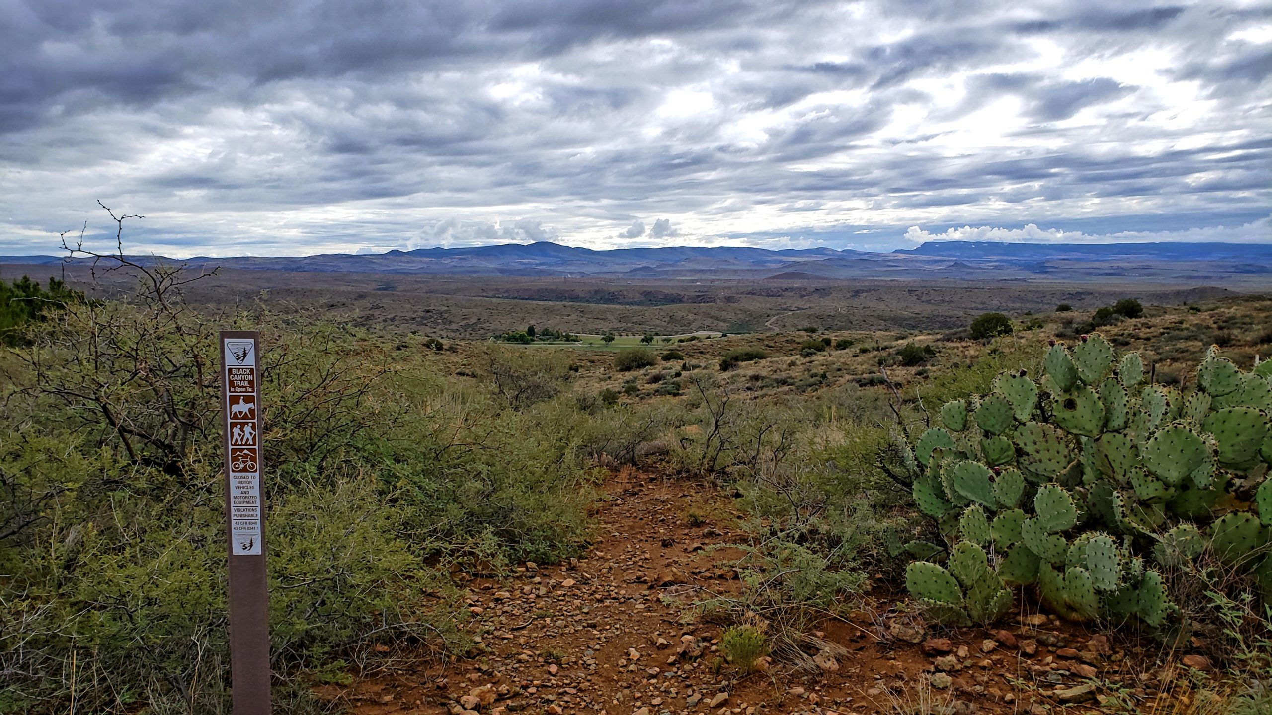
I thought I only had ~7.3 miles to go, and was trying to figure out logistics to stage a car at the northern end. Based on seeing gates on satellite imagery along the Old Sycamore Road route by the ranch to the east of this section, I opted to just go solo and hike this as an in-and-out. (originally I thought the farm road was the northern terminus – thanks useless BCT website and some other online resources with bad track data.)
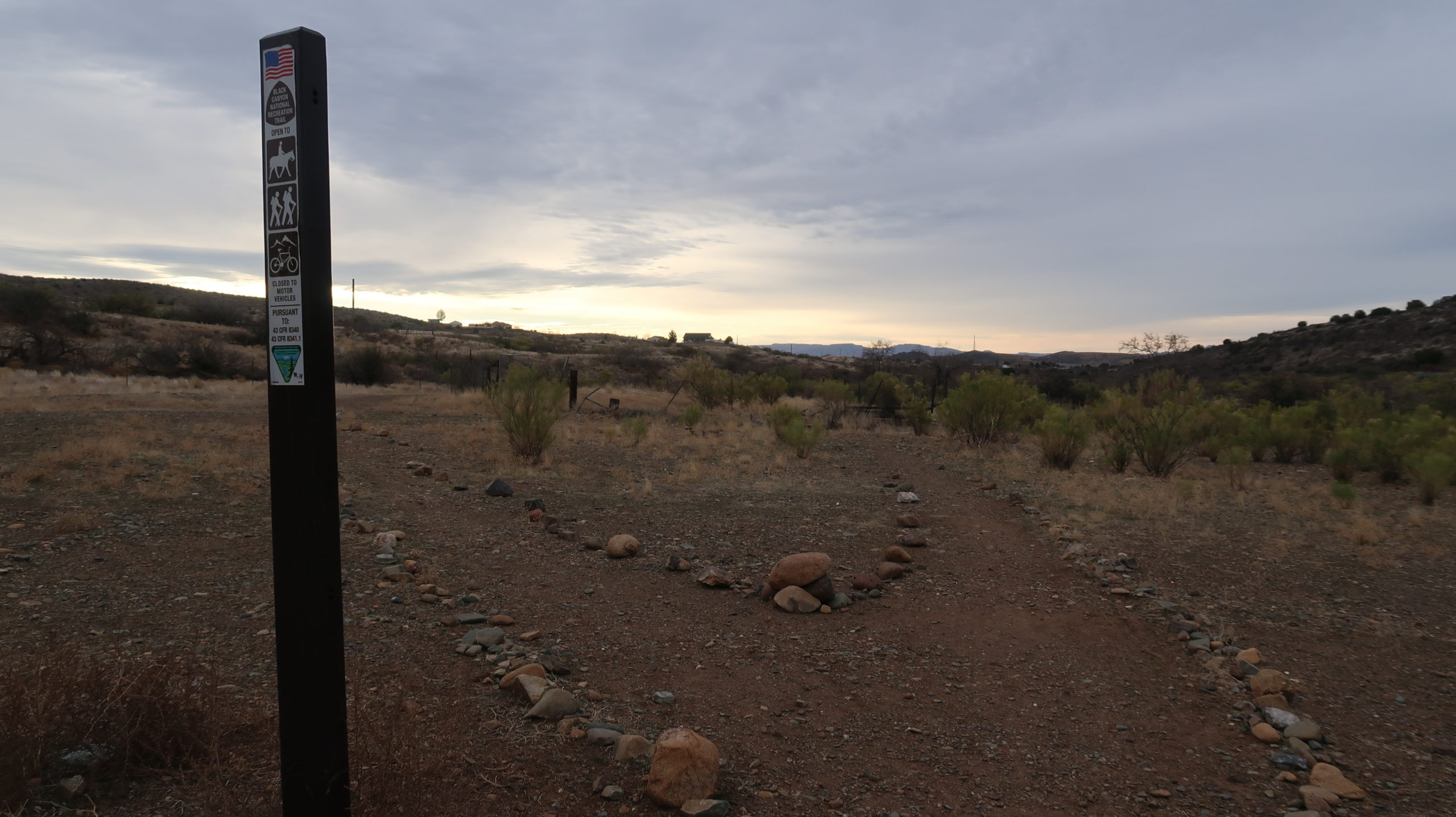
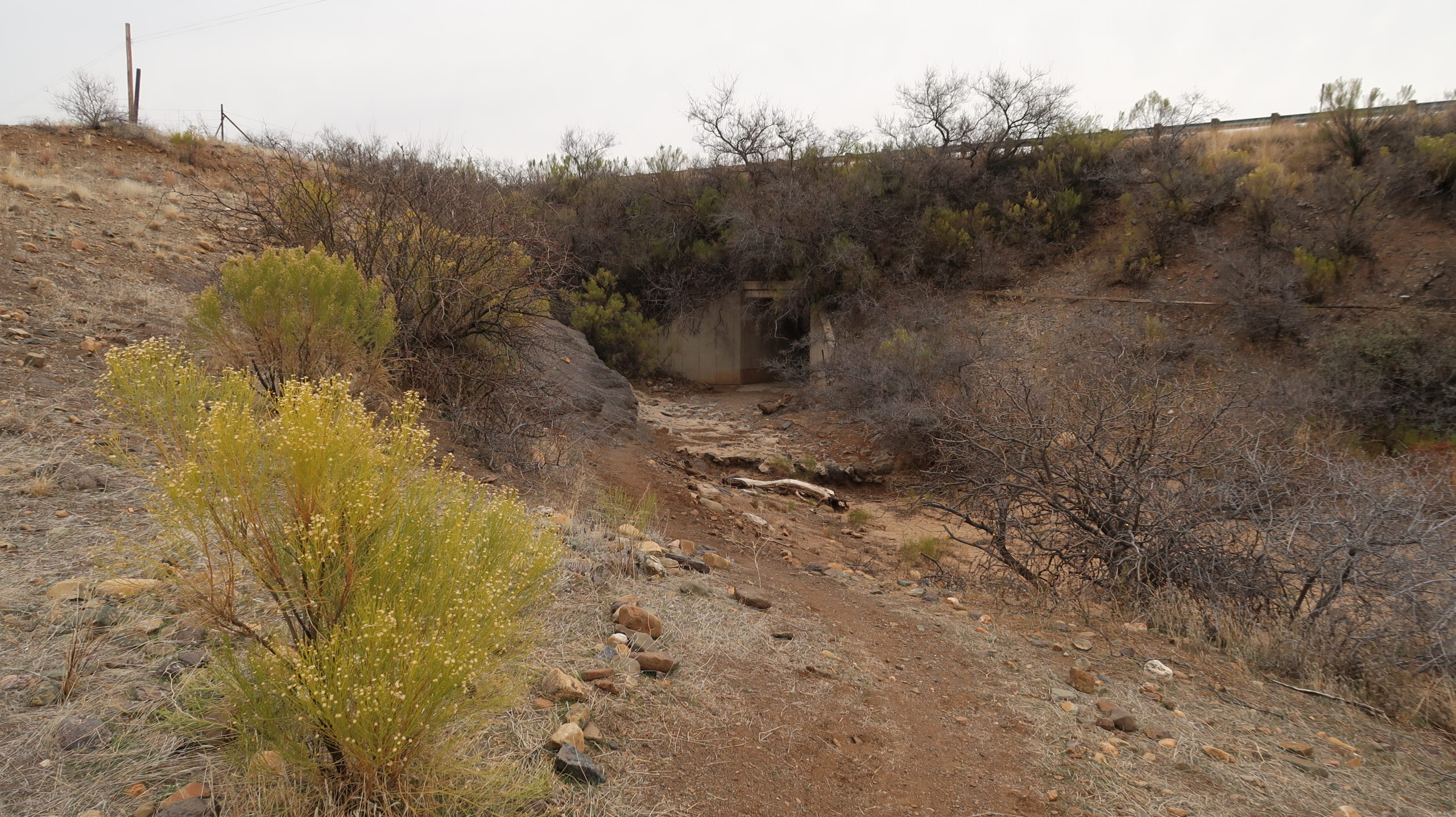
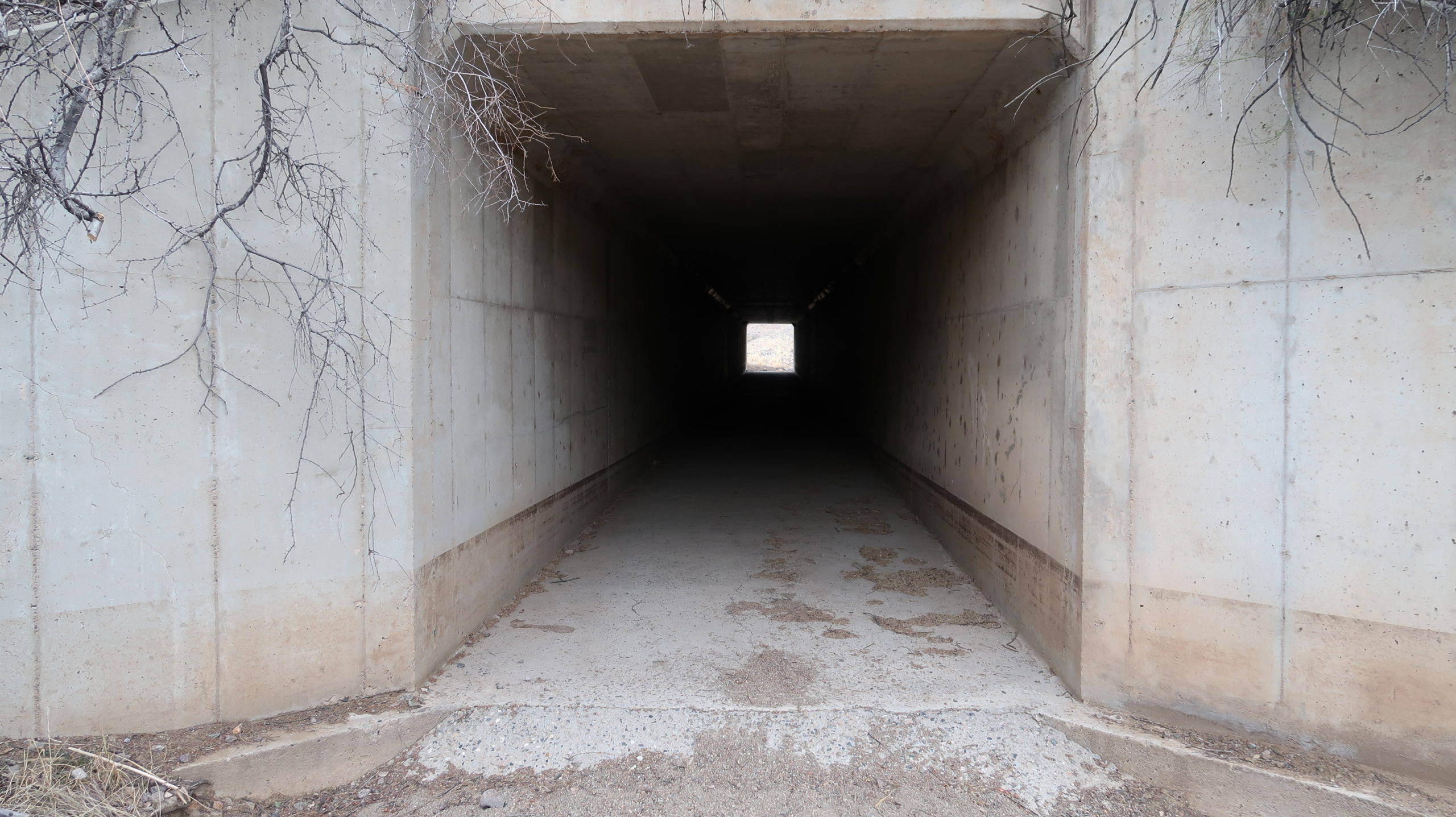
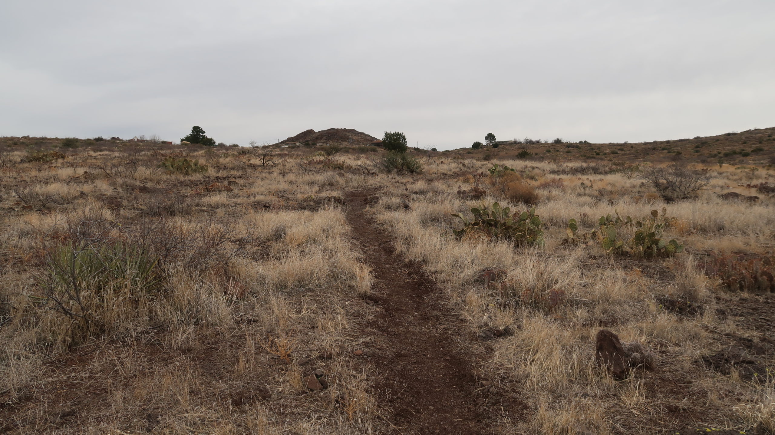
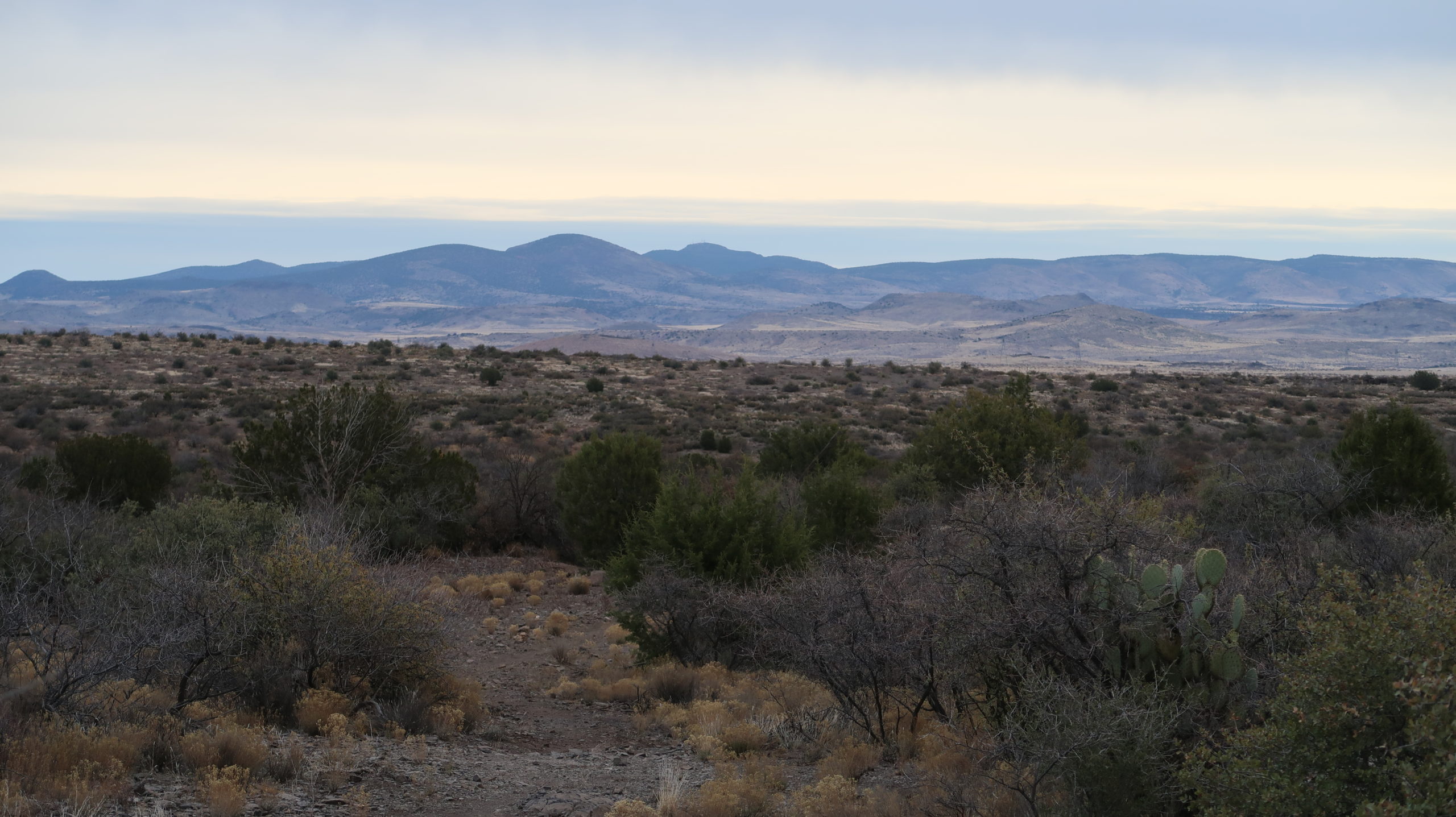
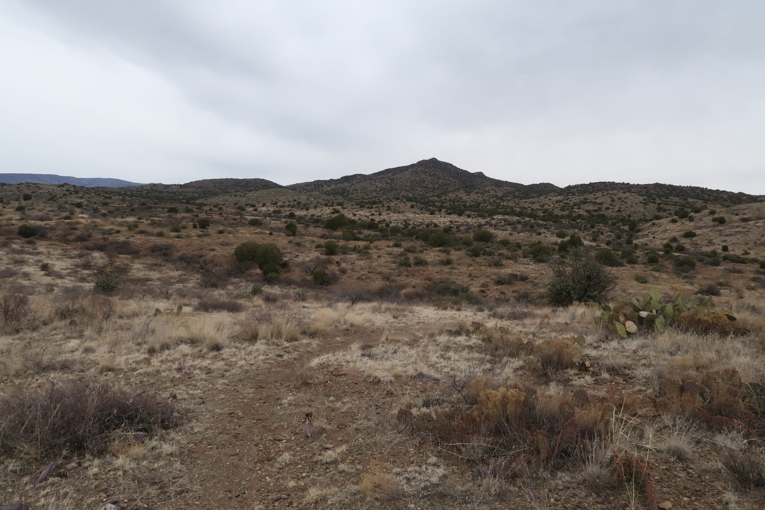
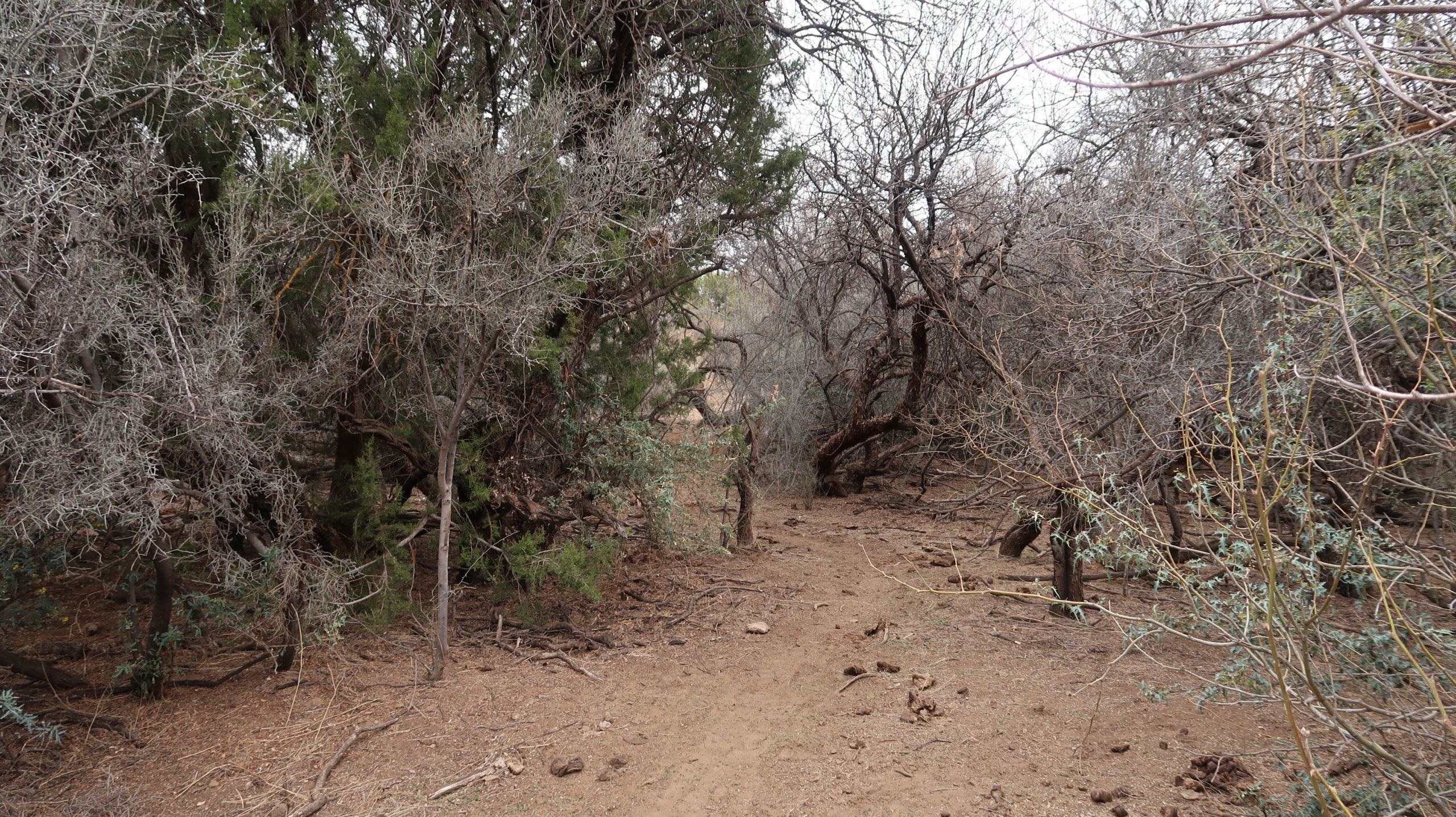
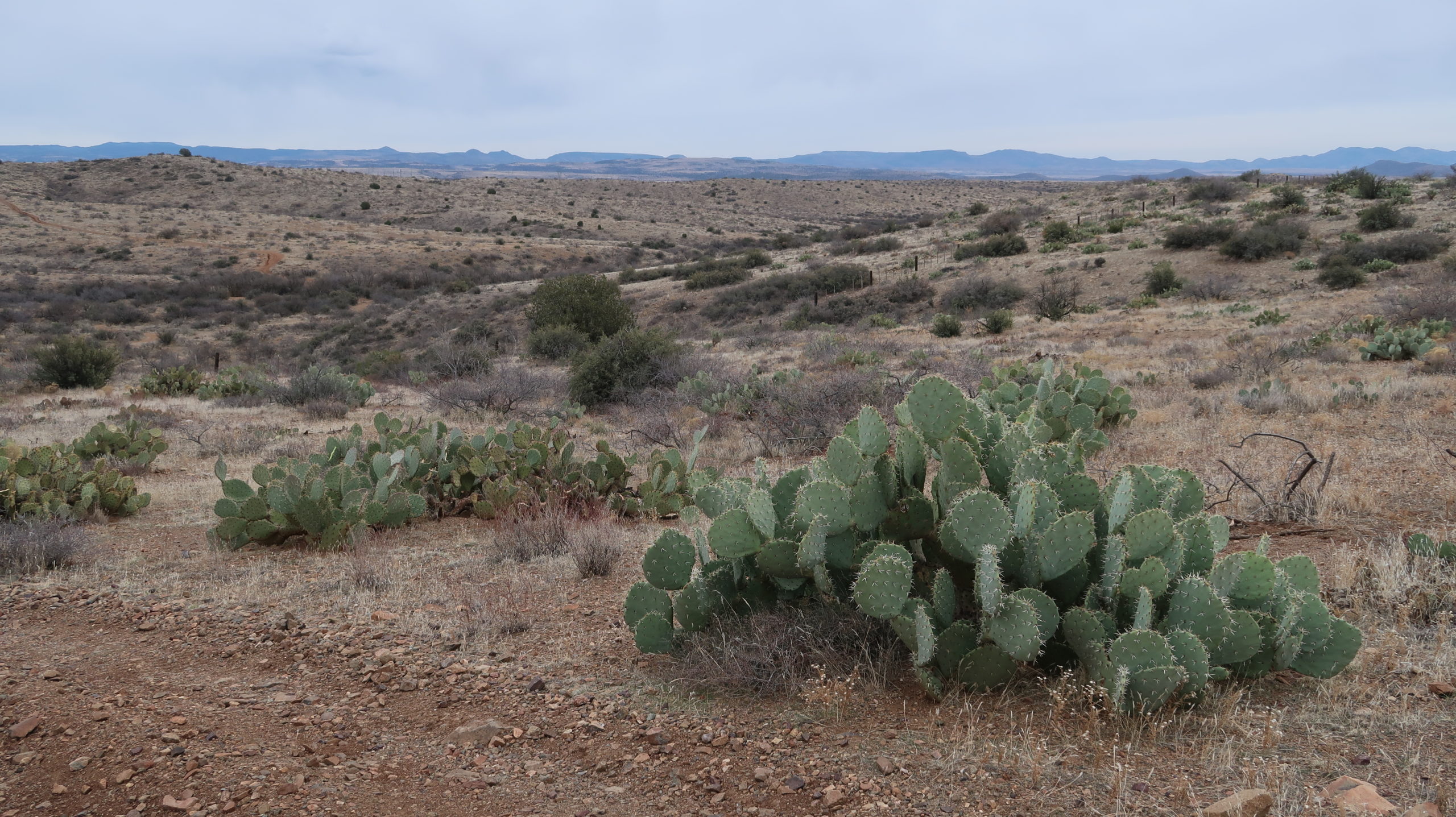
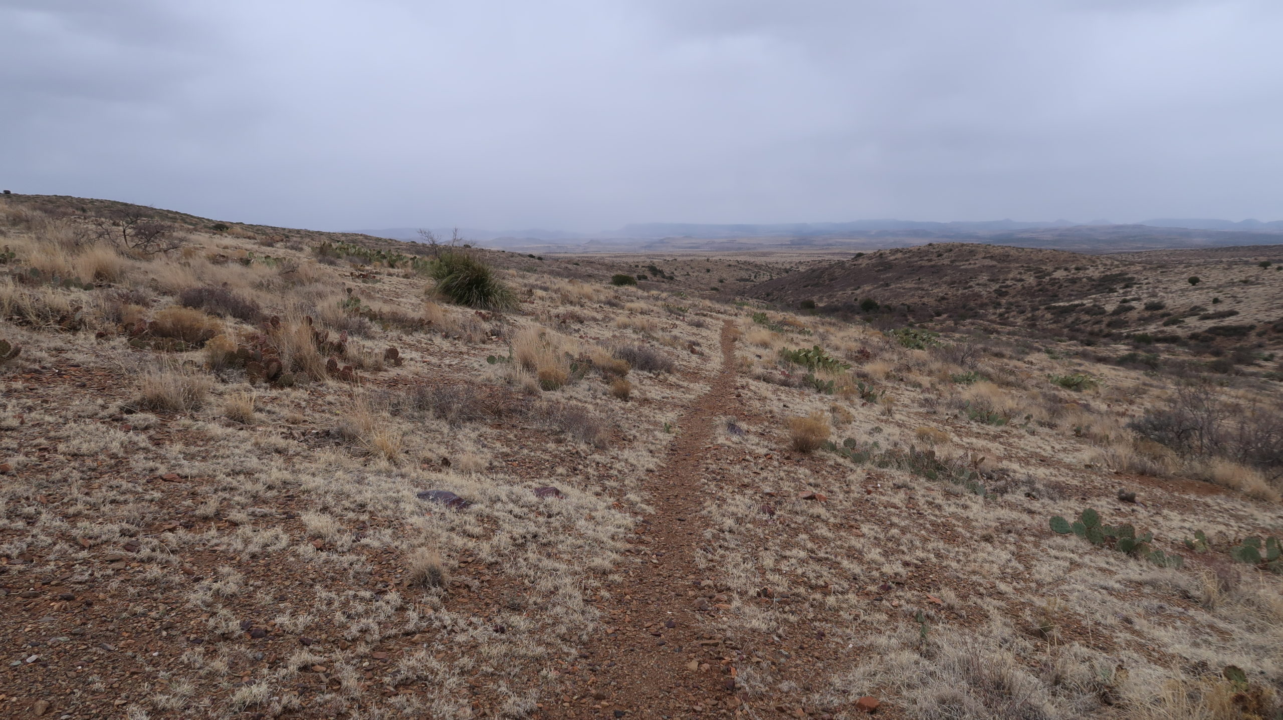
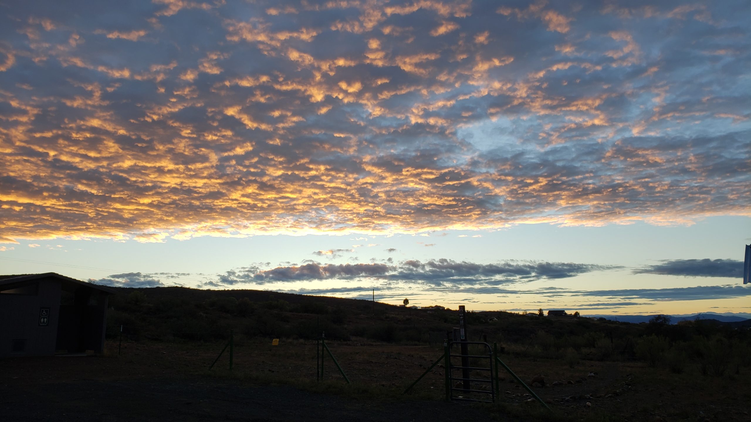
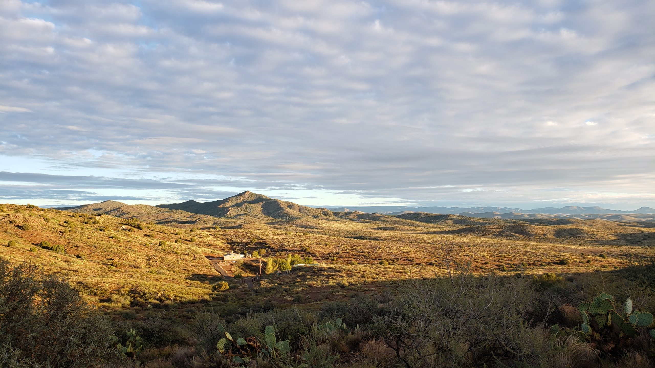
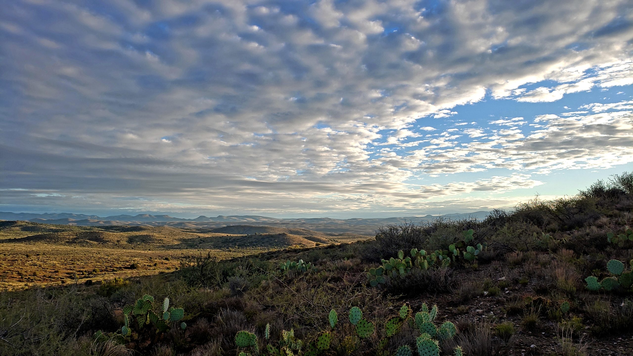
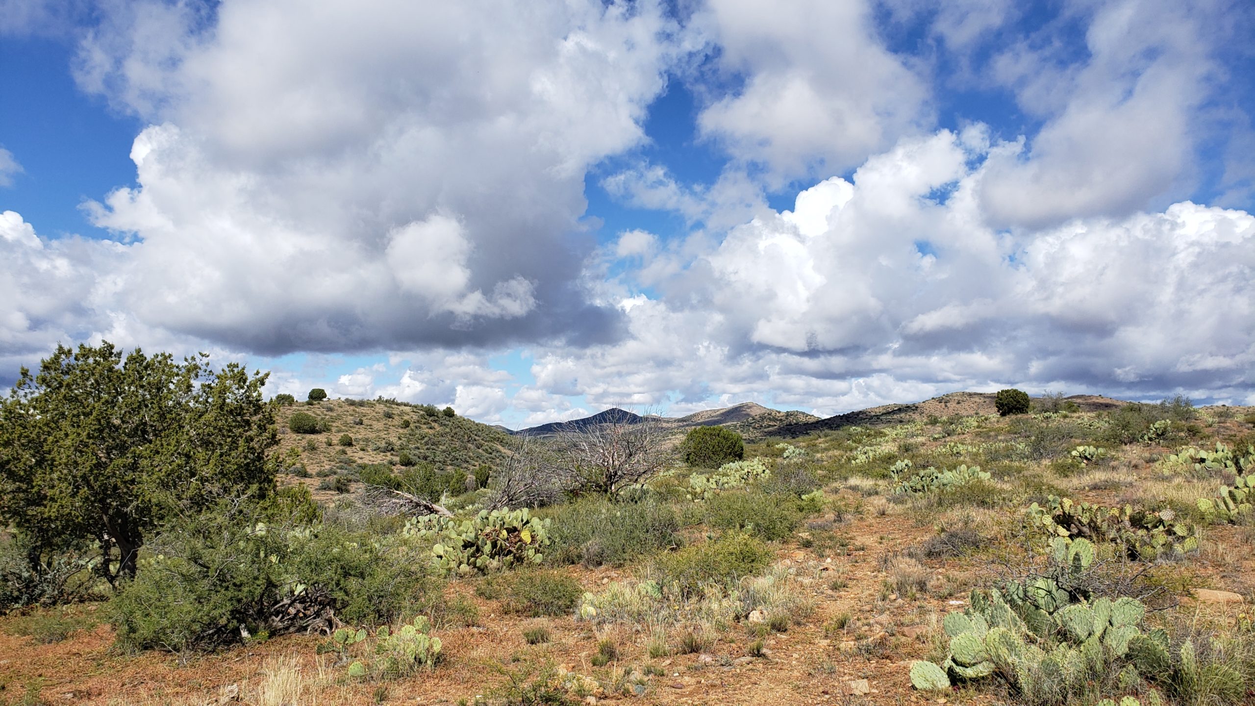
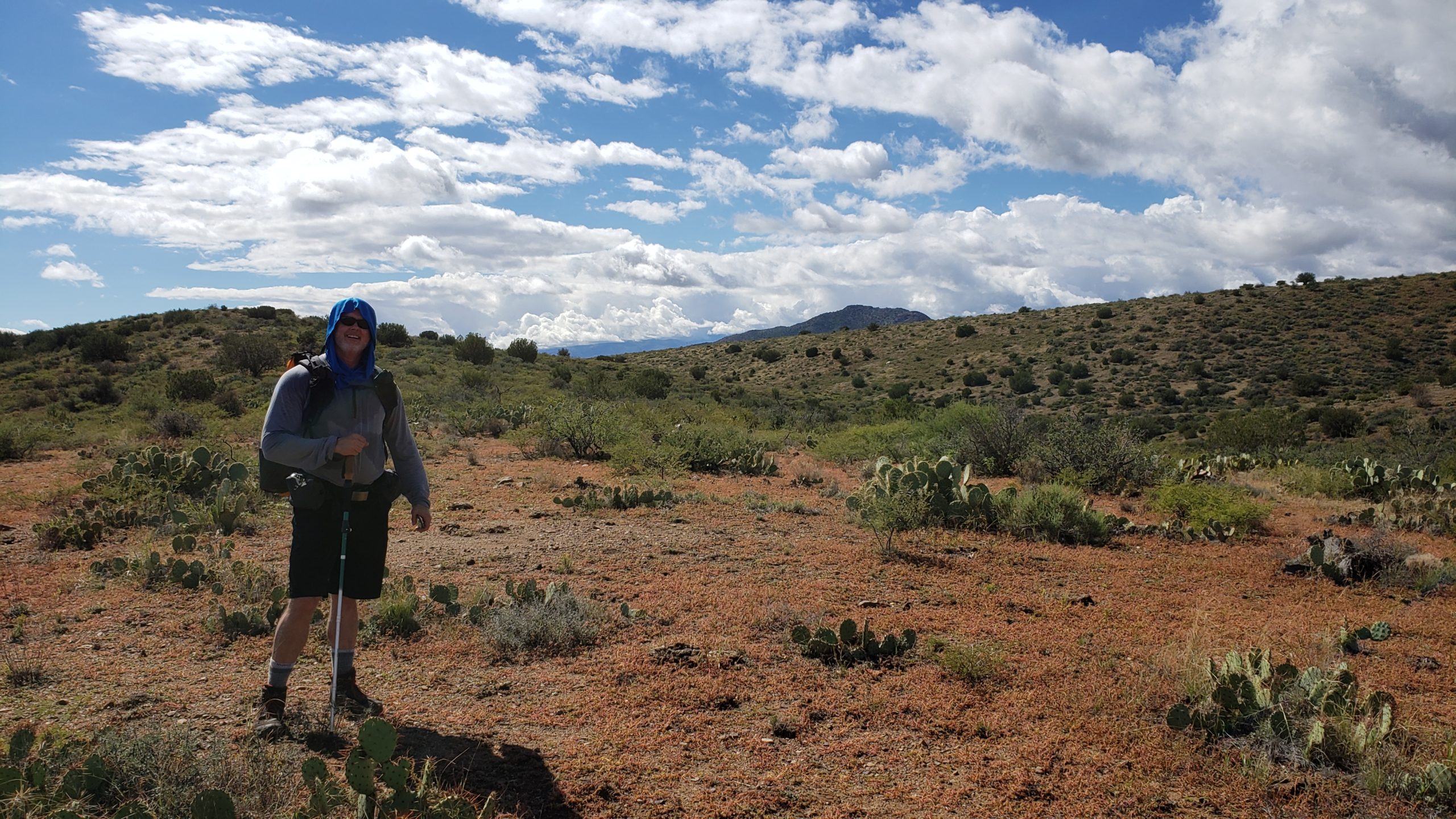
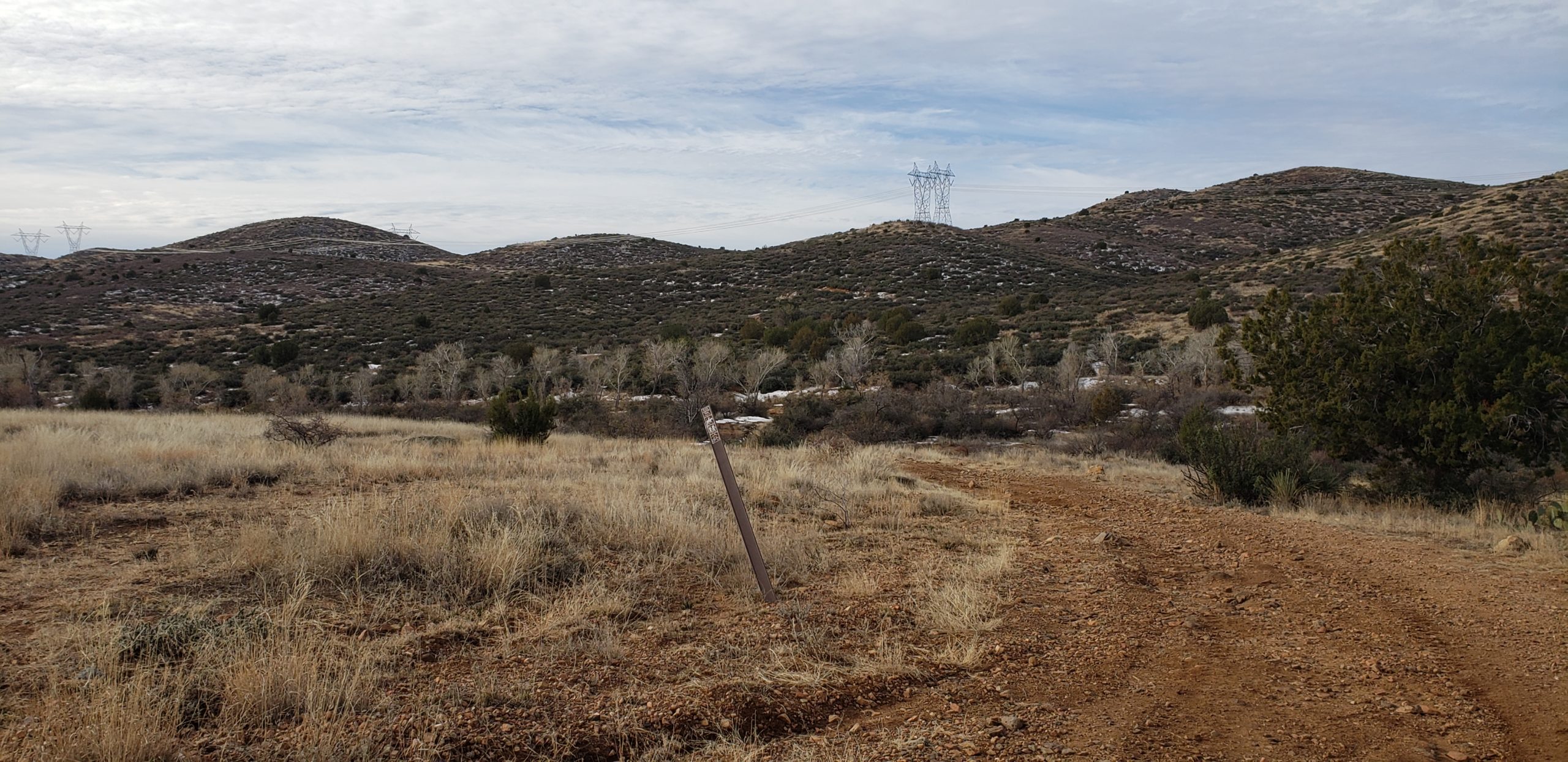
A 7:30am start worked out great. Clouds and afternoon rain in the forecast made for some great 60 degree hiking temps. Parked at Big Bug TH, I took the tunnel under Hwy 69 and was on my way north. Past a few houses and over a ridge, the trail opens up and starts to feel more remote again. Overgrazed desert dominates the first 2 miles or so, and then things get moving. With no climbs higher than 300′ in elevation gain, this section is an easy rollercoaster through easy drainages and short climbs.
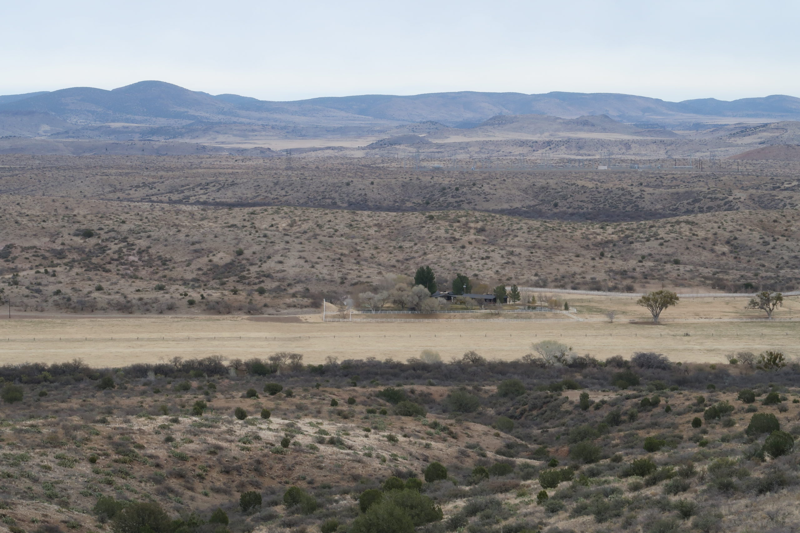
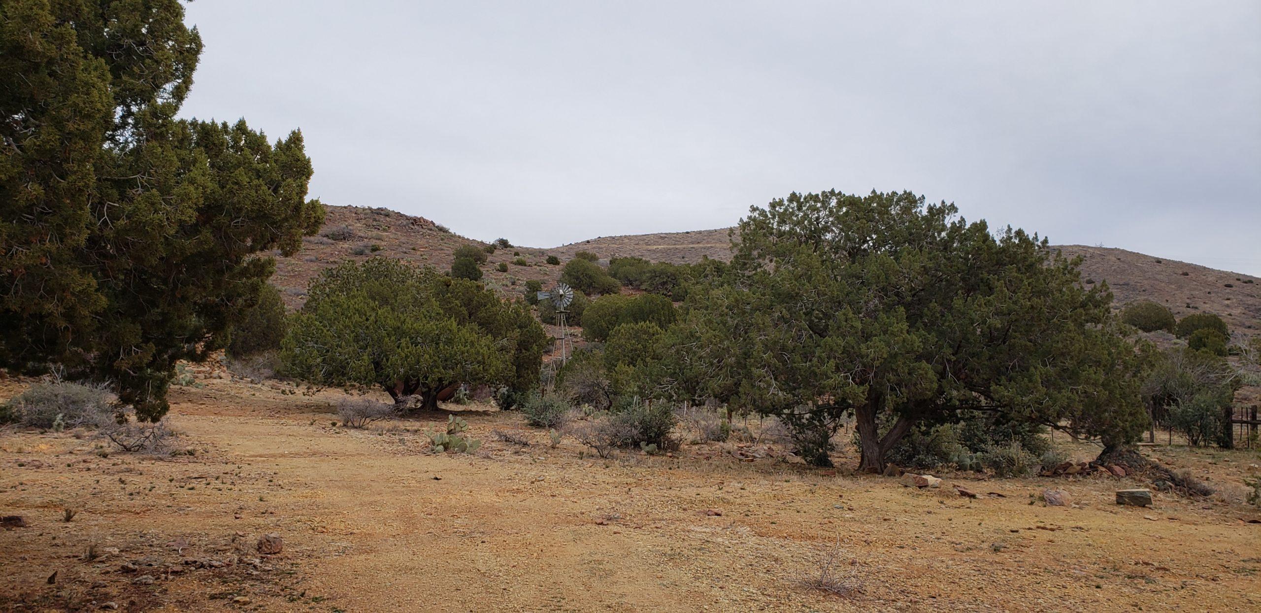
Along the middle of this section, I could see a large ranch property to the east. A large farmhouse at the southern end, and service buildings and equipment to the north. The trial follows along a ridge to the west of the ranch with intermittent views of the property here and there. Looks like a nice place to get away from the city life. After passing the ranch, I dropped into a valley where I need to cross the Agua Fria for the last time on the BCT.
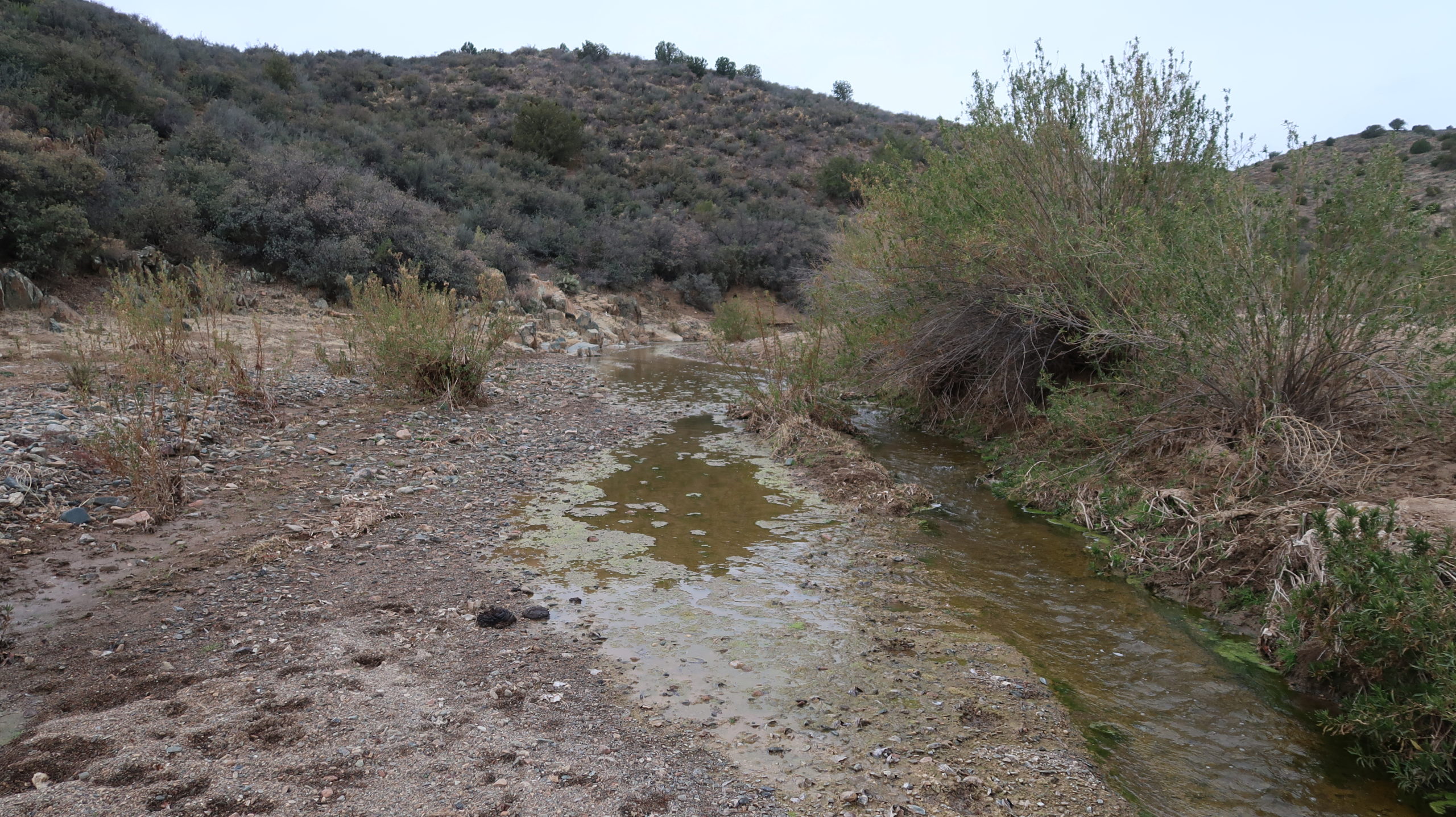
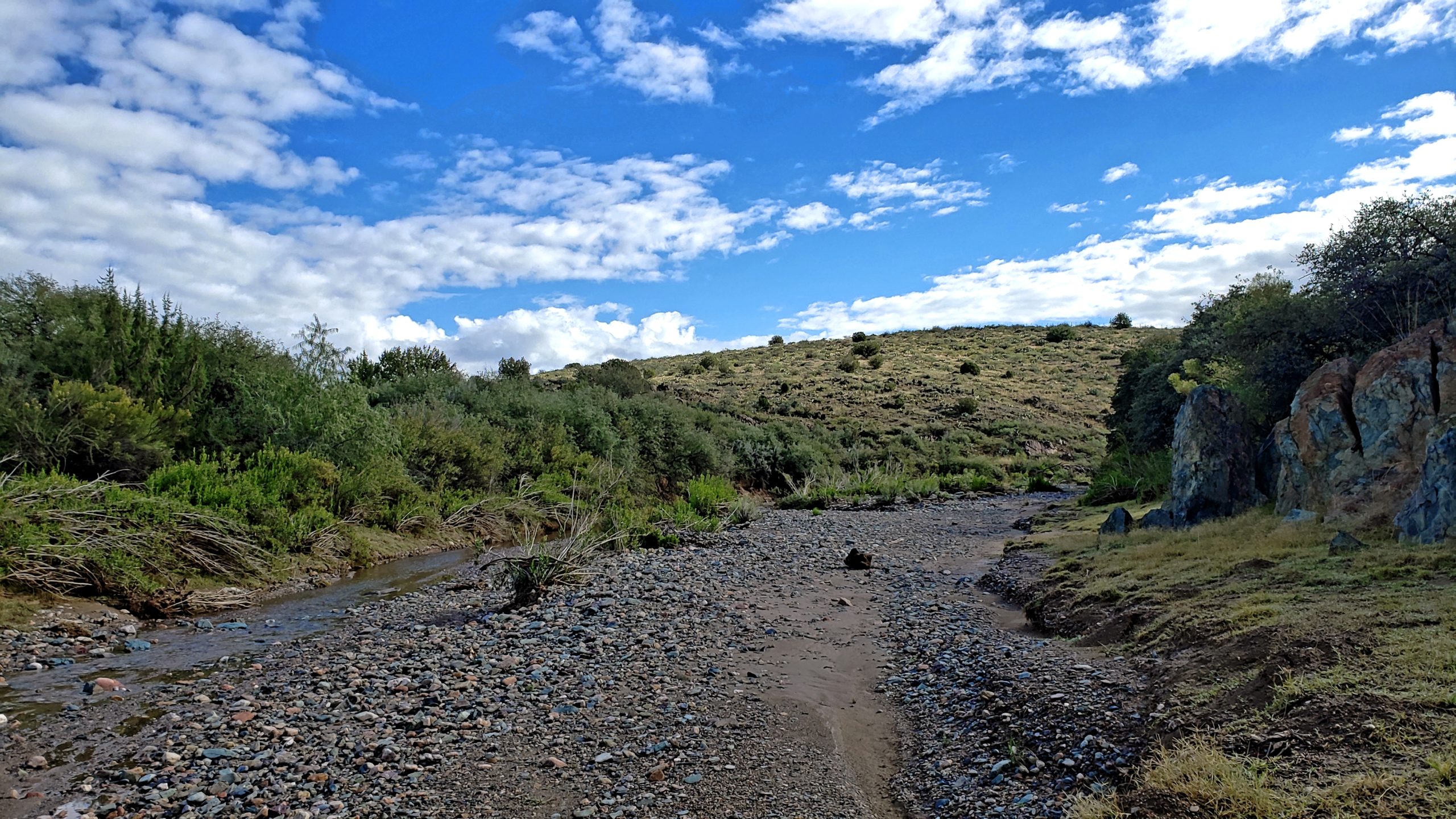
At the 6 mile mark, I reached the Agua Fria. I was pleased to see the water running through this canyon with a 5′ wide stream of clear water with algae clinging to the banks and bottom. I had 4 liters of water with me already, but I brought the Sawyer just in case. I guzzled an extra half liter at this spot because I had plenty to spare. I would be done with this last section of the BCT in the next 1.5 miles, so I was only 3 miles away from topping off if I needed to. As things played out, I had more than enough water already with me.
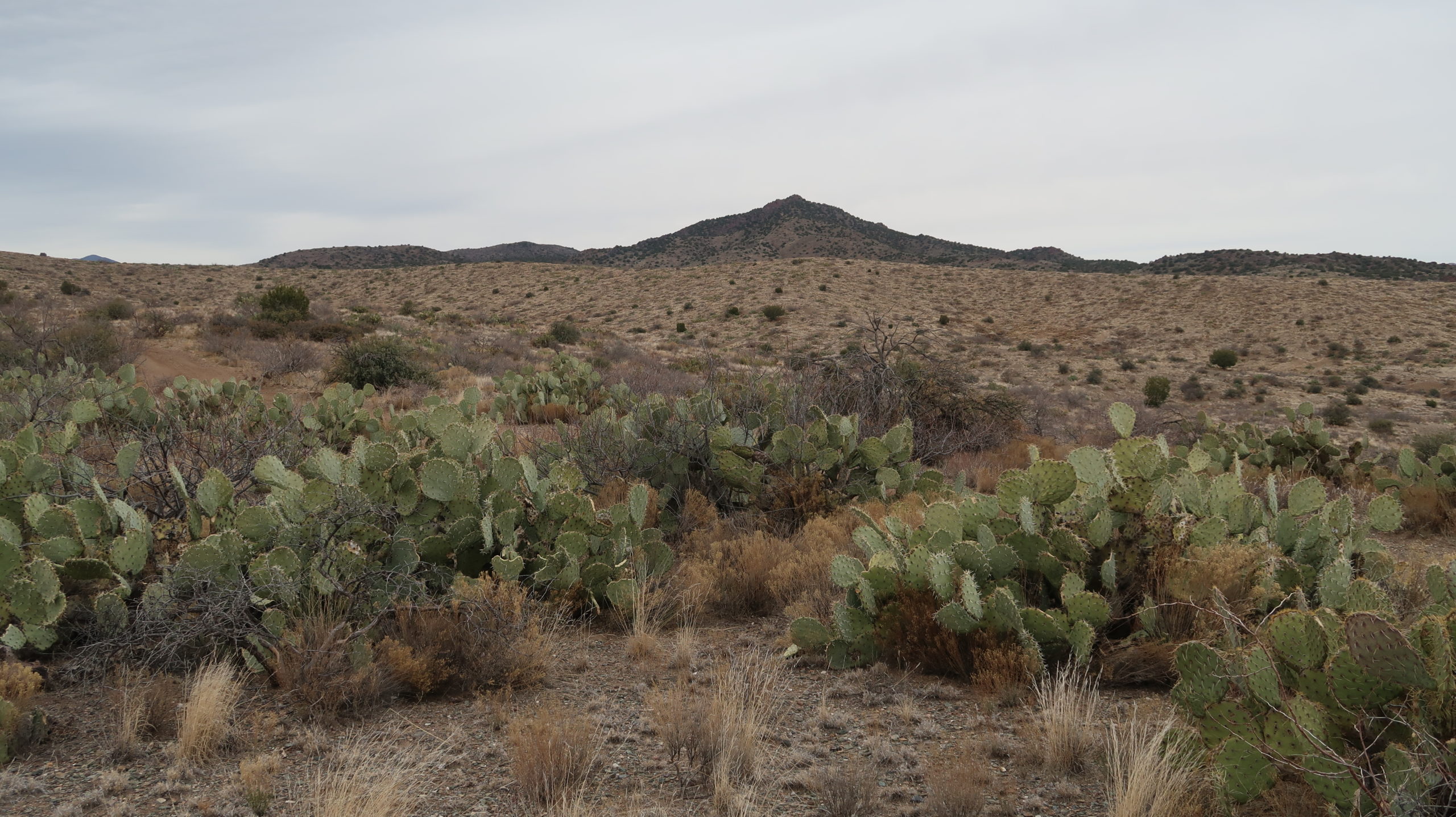
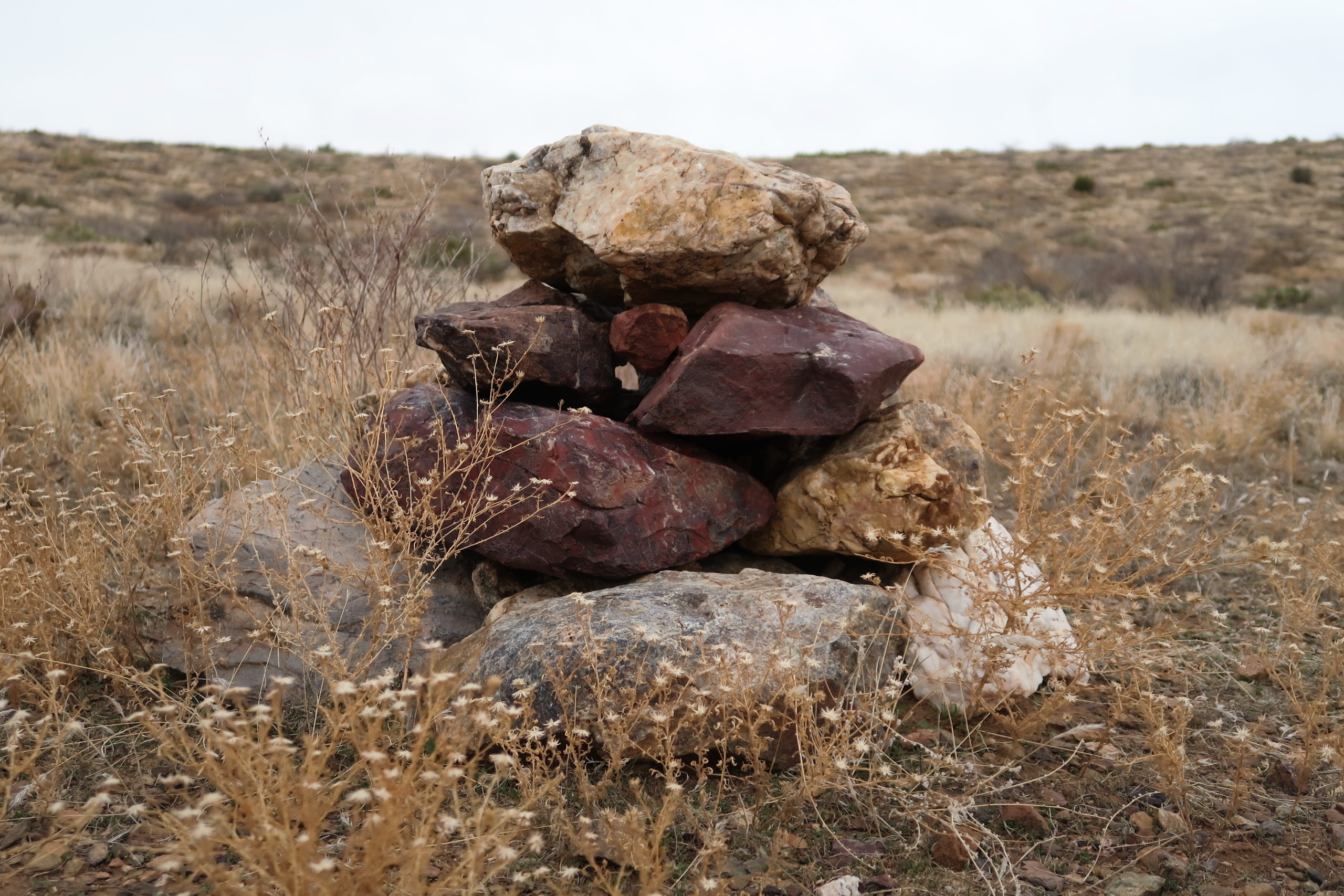
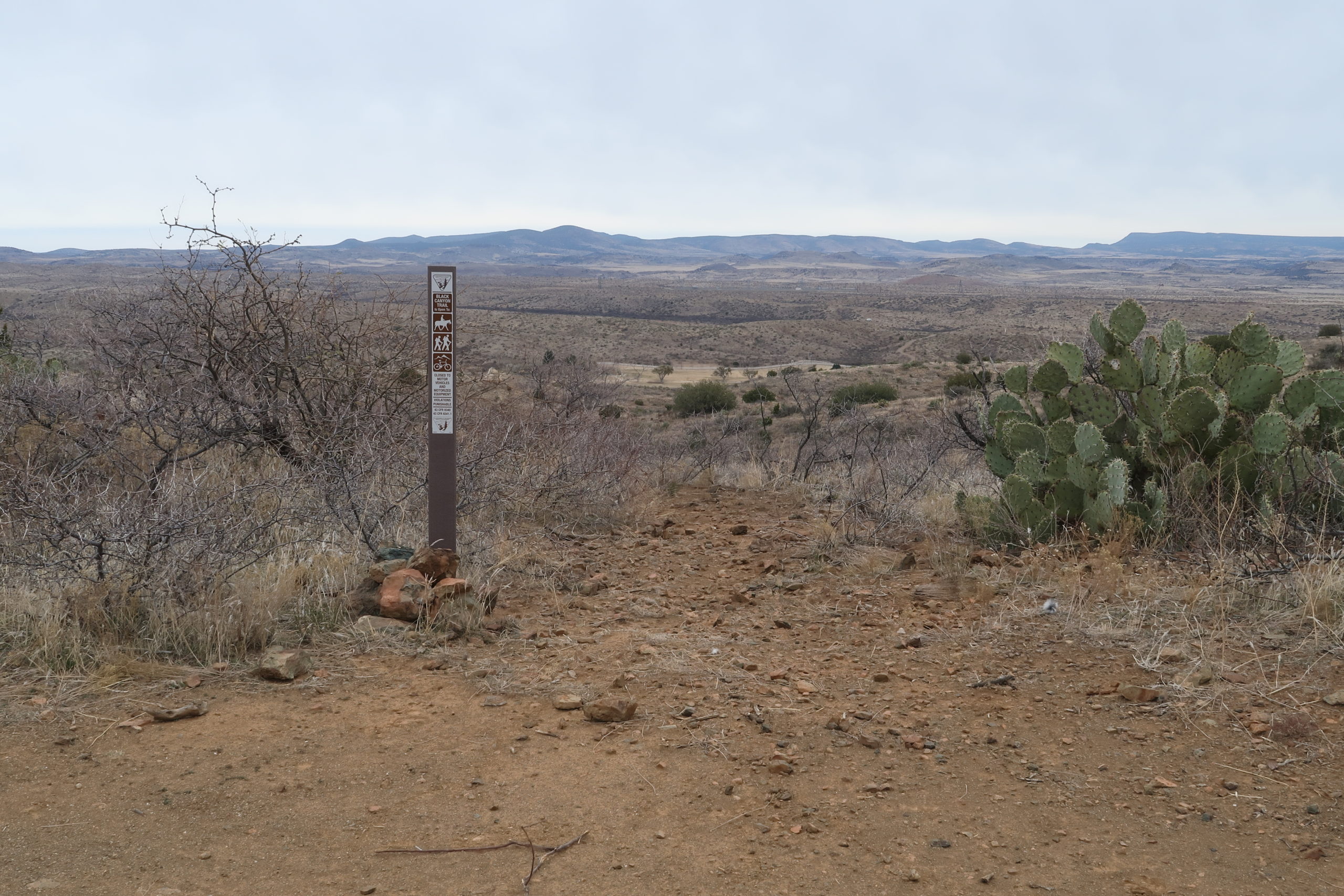
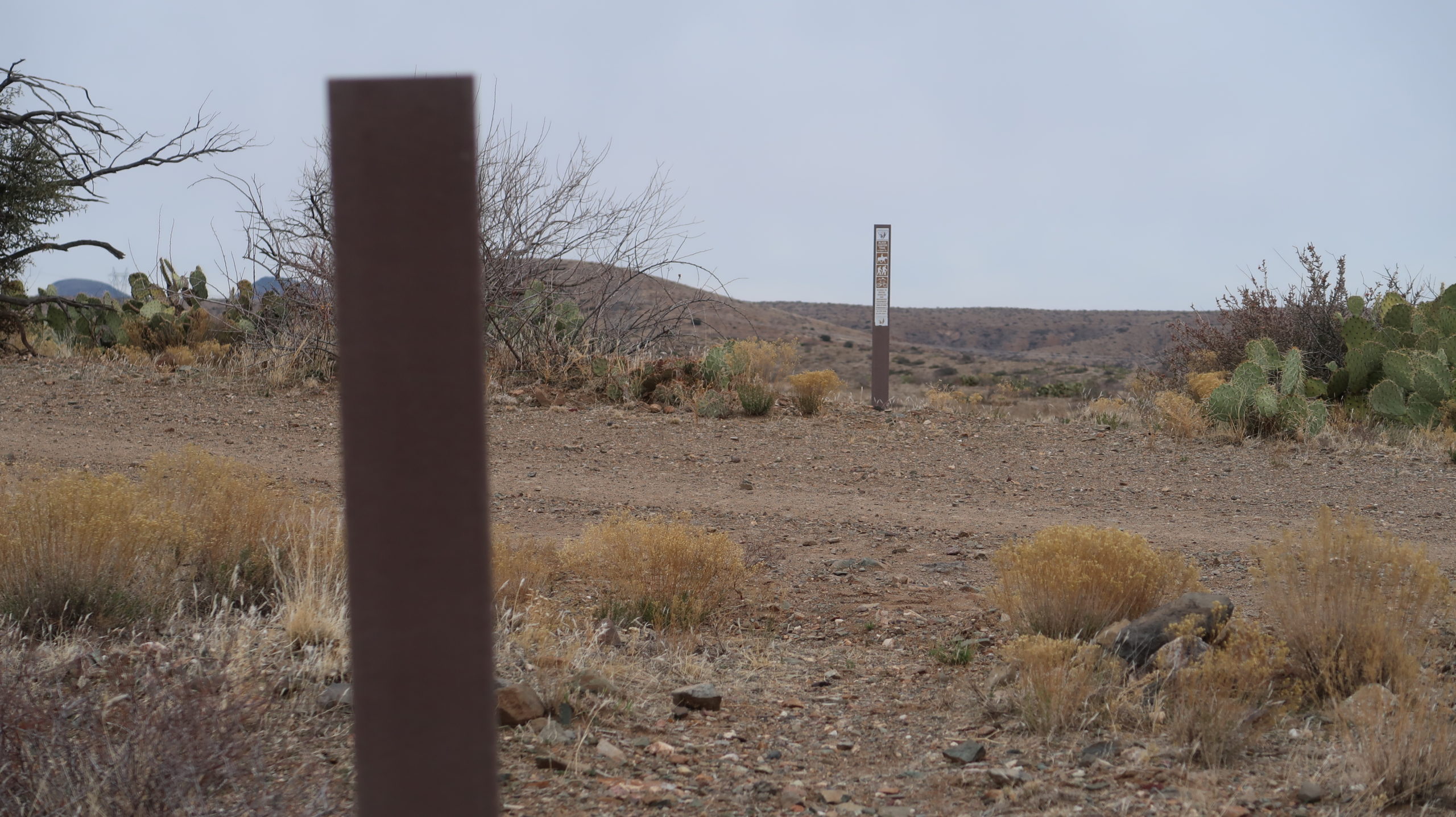
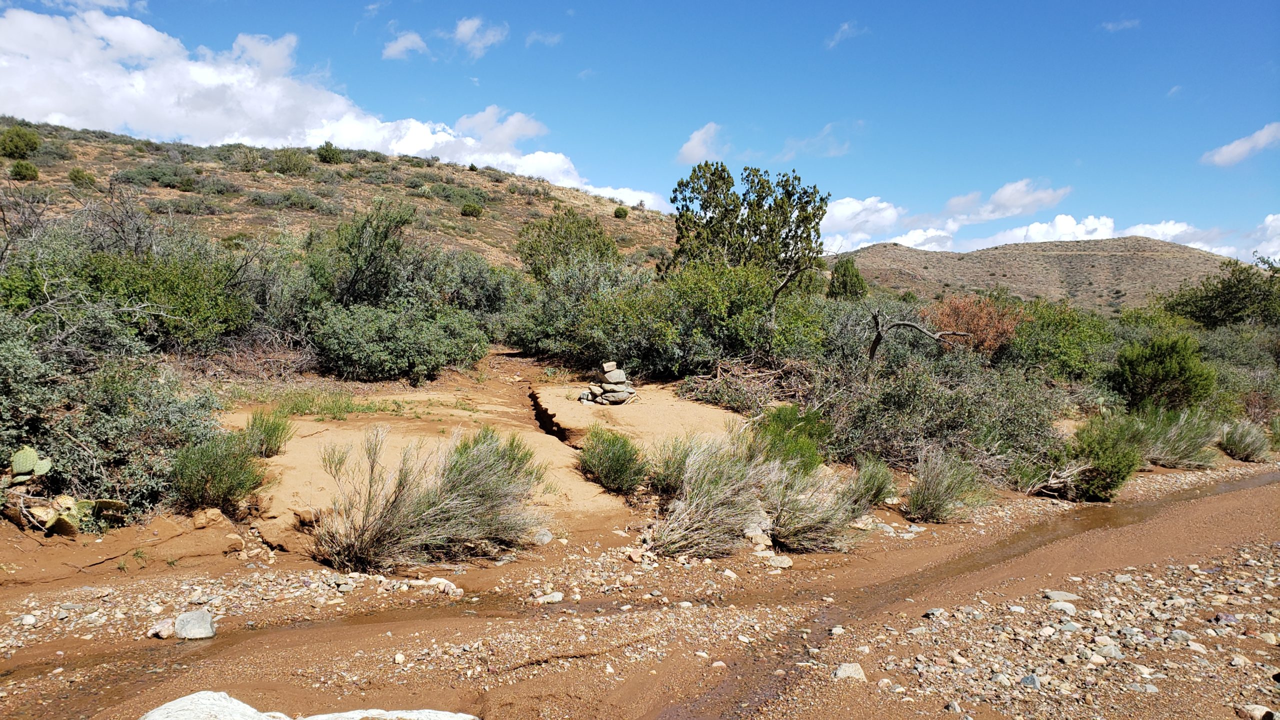
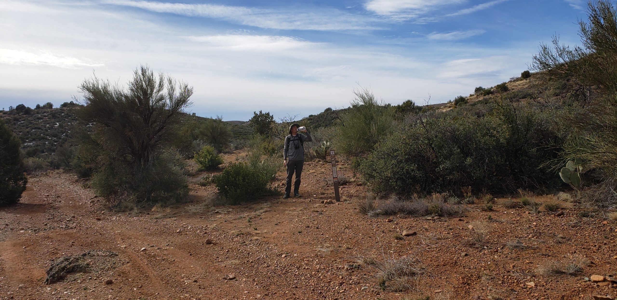
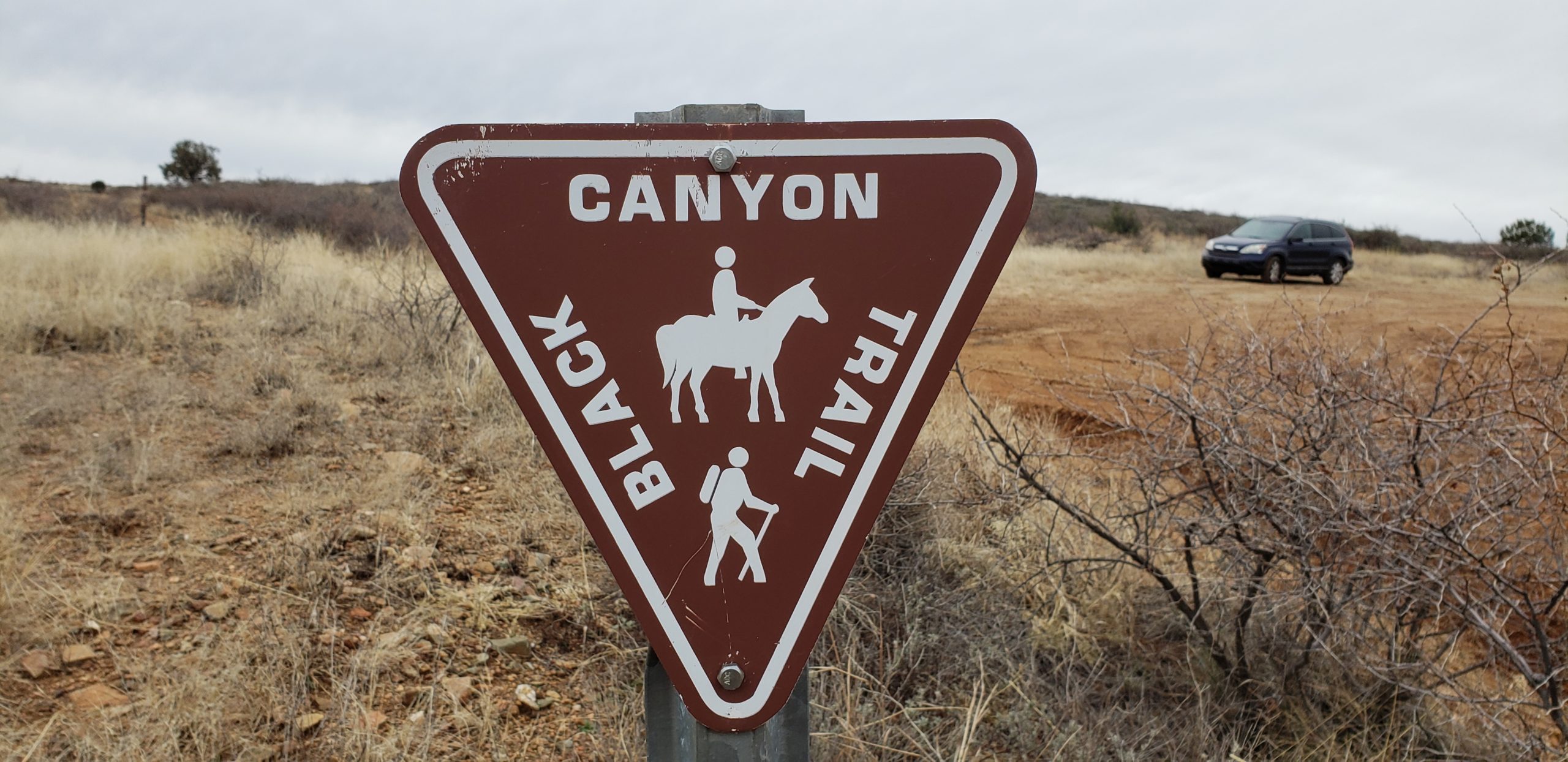
The trail was still signed very well through most of this section, except for about the last mile. The trail gets extremely faint and there are some criss-crossing cattle trails, but the large cairns let you know you’re on the right path. If you don’t see a cairn every 500 yards in this mile, check your maps.
At the “farm road”, it’s pretty uneventful. No fancy BCT signage other than the usual Carsonite signs on road crossings. My future plan is to continue from here and cross-country on old trails all the way to Dewey-Humboldt. At this point, I’ve walked from my house in North Phoenix to 7 miles past Mayer, so why not just keep going another 13 miles and connect to another AZ town?
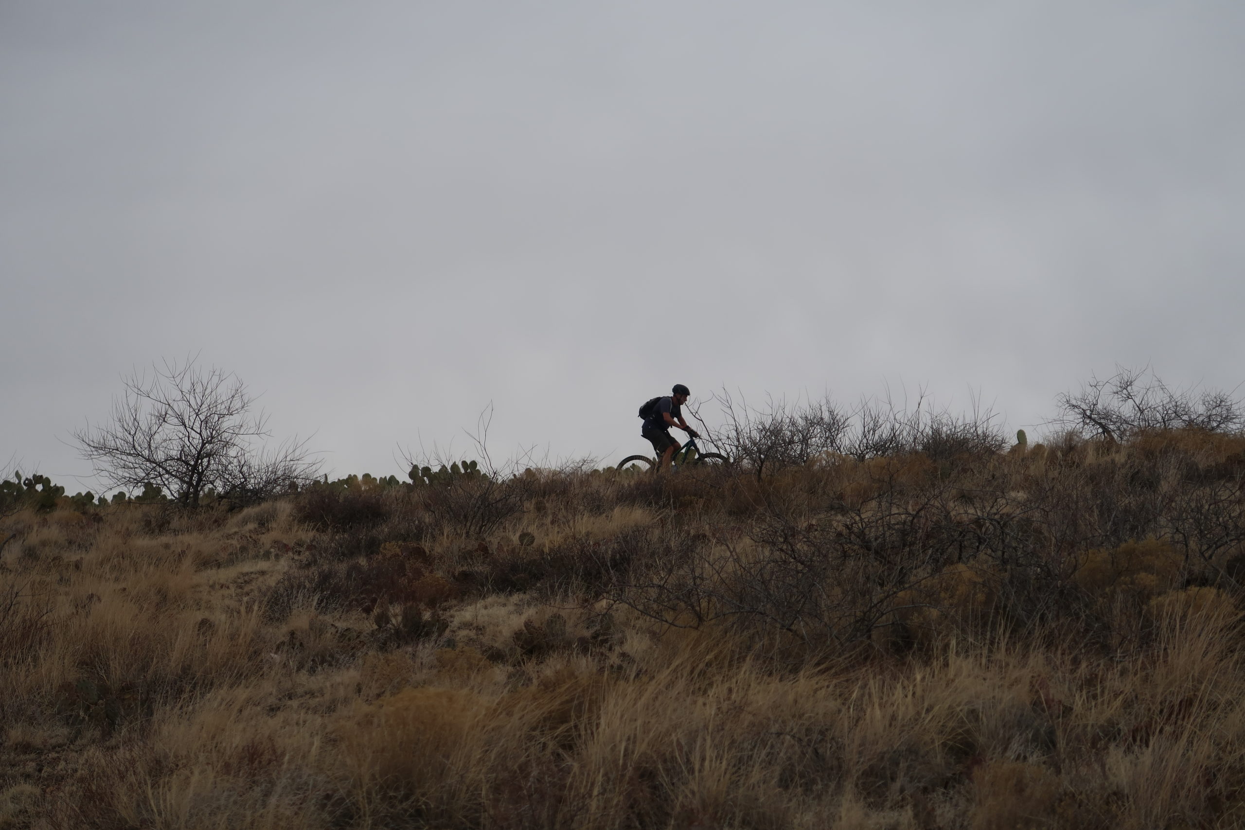
I liked this section for its simplicity. While not my favorite of the BCT, it was quiet and easy. I only saw 3 mountain bikers, otherwise I had the entire area to myself. On my return back, I was drizzled on by a light rain the entire way. Not even enough to break out the rain jacket, actually. The sky looked intimidating, but it wasn’t until I got back to my truck that it started coming down in sheets. Perfect timing.
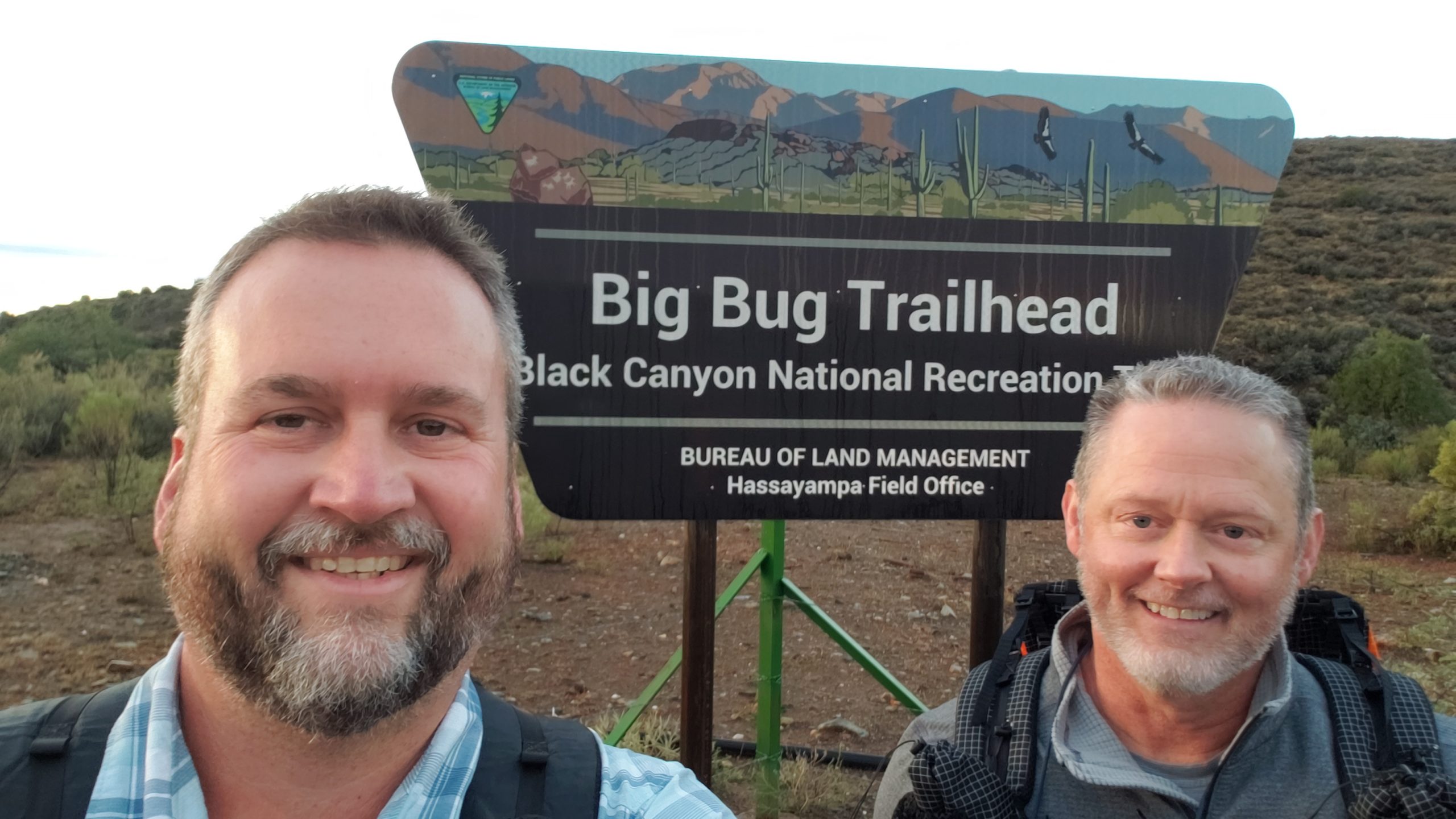
Second attempt (mid-October 2018):
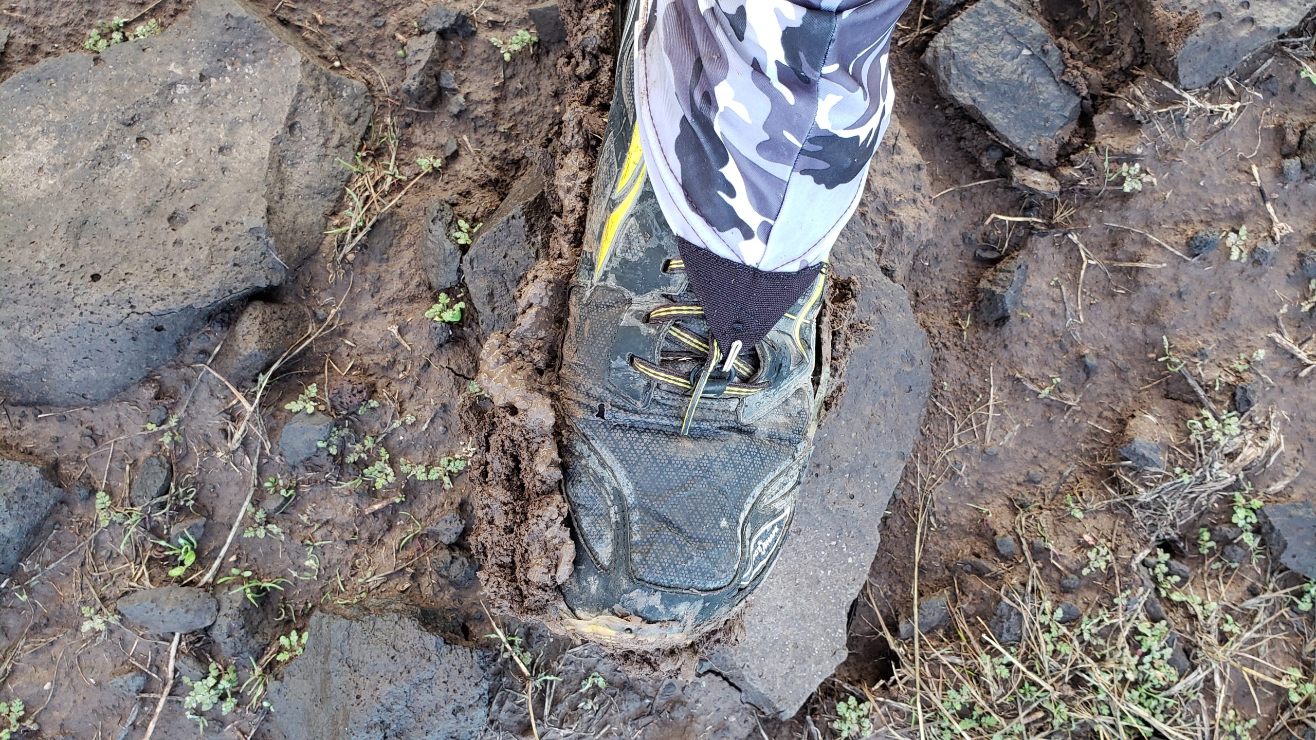
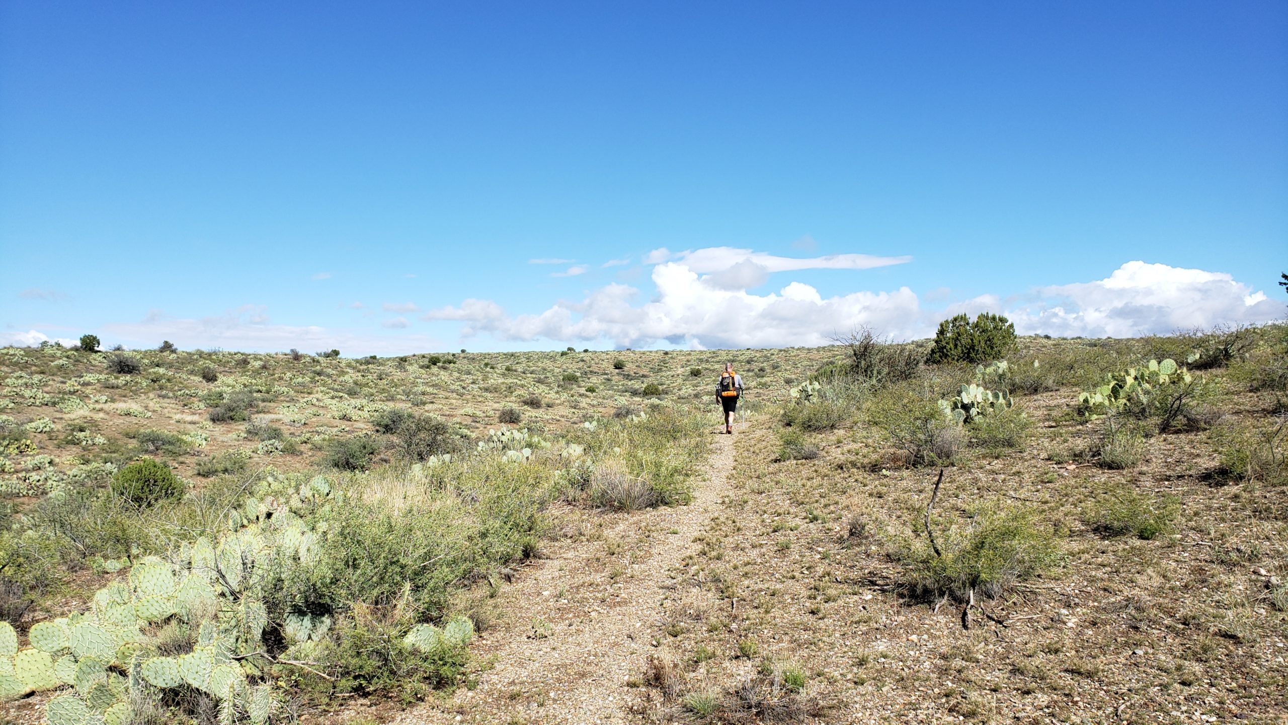
I’m not going to bore you with reiterating the same first 7 miles of this section that you just read above, so I’ll skip that and get right to the new stuff. My hiking partner Charlie came along on this trip, and he’s in great shape so we cruised through those first 7 miles. Well, except for the fact that there had been recent rains and the clay soil in the first couple of miles were saturated and sticky as hell. Shoes weighed with mud every 3 or 4 steps, we were stomping them clean every chance we got to hard ground. The clouds and weather made for fantastic scenery and great hiking temperatures, but the muddy trail was making us work twice as hard. After a few miles, the trail had more rock in it and we were back on the move at normal pace.
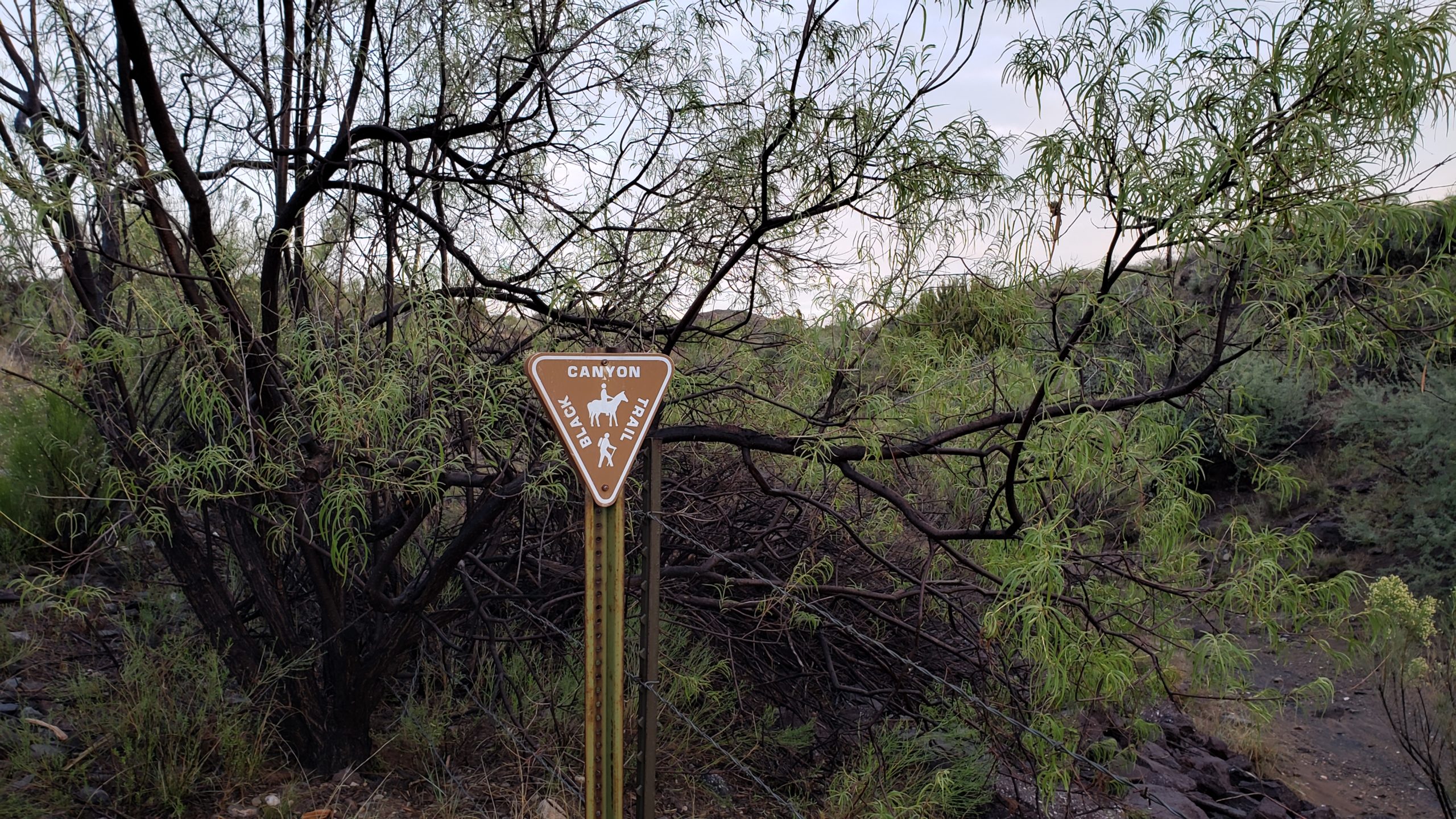
So, we get through those first 7 miles to the “farm road”, and spot the next part of the trail after a Carsonite sign on the north side of the road. Looking down into this valley, you can see immediately that the trail is much less worn than before. Honestly, the trail virtually disappears in the grass on some of the hillsides and drainages, so we had to stop and really look at the terrain from different angles to barely see the trail. It’s essentially a game trail at this point, and in some spots it’s just barely matted grass. No cairns, so be good at your routefinding in the 4 or so miles after the farm road.
We stay on track (thanks in part to a GPS track I created on Google Earth using satellite imagery for that I “thought” was visible trail, and come to a moderate sized unnamed wash. This is where BCT users would cross this normally-dry wash and continue on. There was a visible rock cairn on at least the north side, and the trail is visible. However, this is where we leave the BCT and turn west in the wash and start walking on our cross-country part of this hike to get to Dewey-Humboldt.
Third and final attempt (January 2019):
So I had my stroke within 48 hours of successfully hiking the above-mentioned adventure. Bam, I’m down.
Less than 2 months after getting released from the hospital, I’m chomping at the bit to finish the last 3.75 miles of the Black Canyon Trail. My balance was improving, and I could get around decent with my trekking poles and a very light pack load, but my fatigue was overwhelming. This hike was a test to see how much I could really do in my condition. I still had my pre-stroke hike conditioning going for me, and I didn’t want to lose any more of it by being bedridden so much. So I called a friend and said “let’s hike and see what I can do”. He was onboard without hesitation.
Since I knew my mileage would be limited, and we knew that there was only car access to this section on the Orme Rd end, this one was going to have to be done southbound but as an in-and-out so technically also repeated northbound. I was happy to make that work, keeping up with my northbound journey of this trail thus far. It just makes it easy for us mapping nerds to keep their data organized when the directions stay consistent.
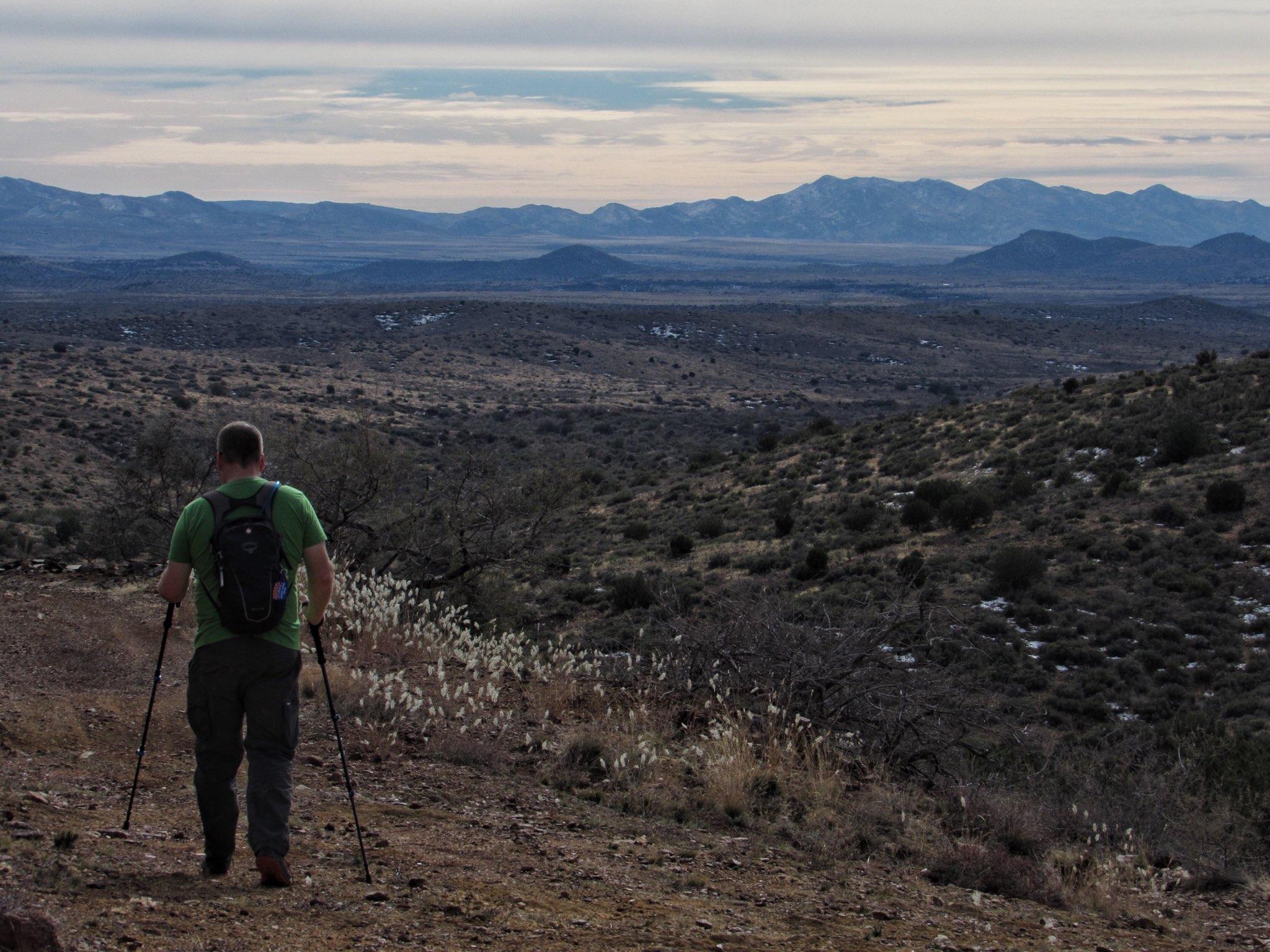
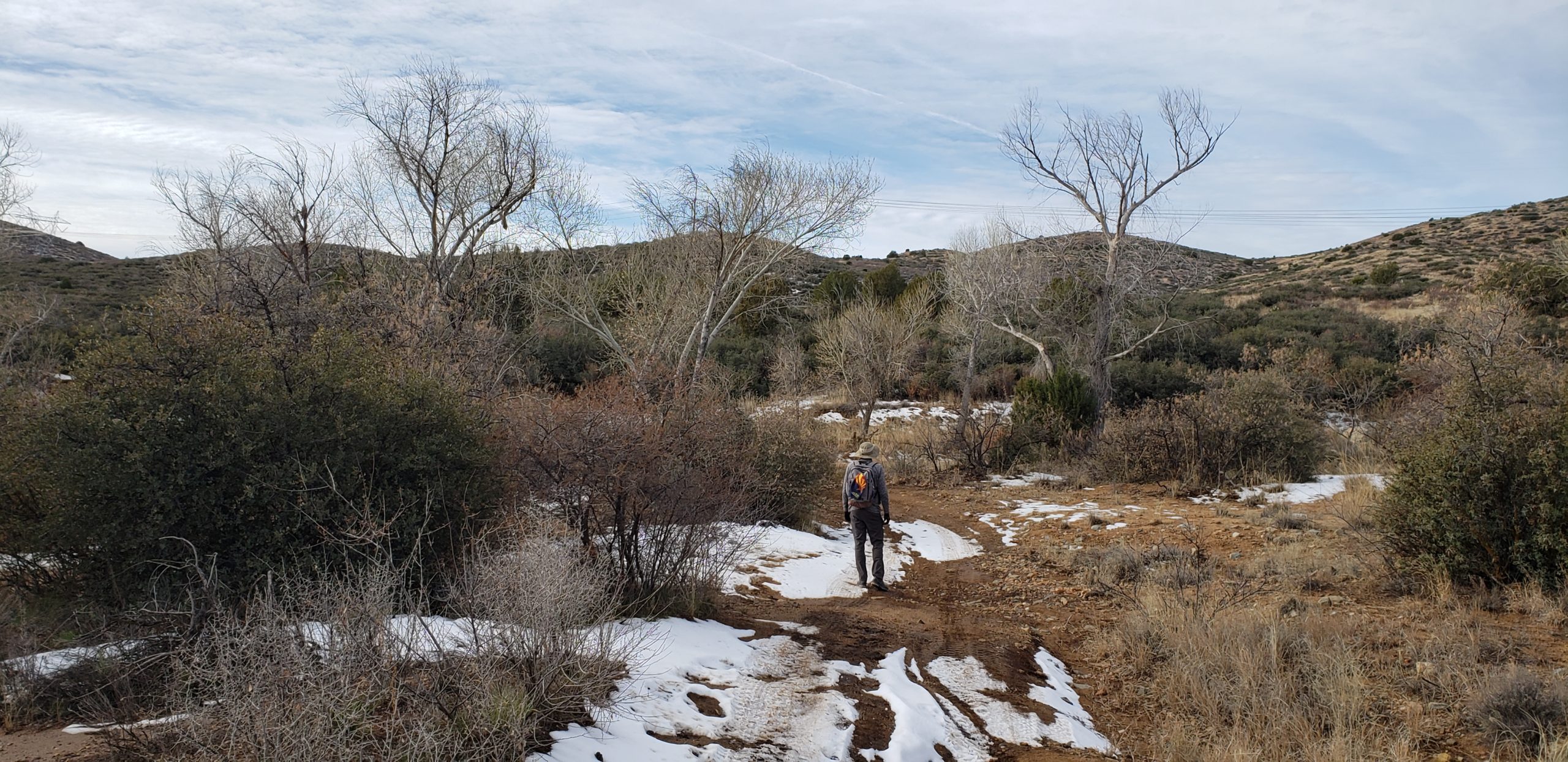
Ok so we park the car at the Orme Rd true northern terminus that I had learned about while laying in the hospital hearing rumors that there was still more BCT to hike. Confirmed that Orme Rd is the true northern terminus, we were greeted by BCT signage at this small and almost hidden trailhead. Besides a small parking loop for a couple cars, you wouldn’t know what this spot was without a GPS waypoint honestly. A quick stretch and we are on our way south. 3.75 miles each way, and I’ve committed to calling a turnaround at any point that I feel I’ve used half of my energy.
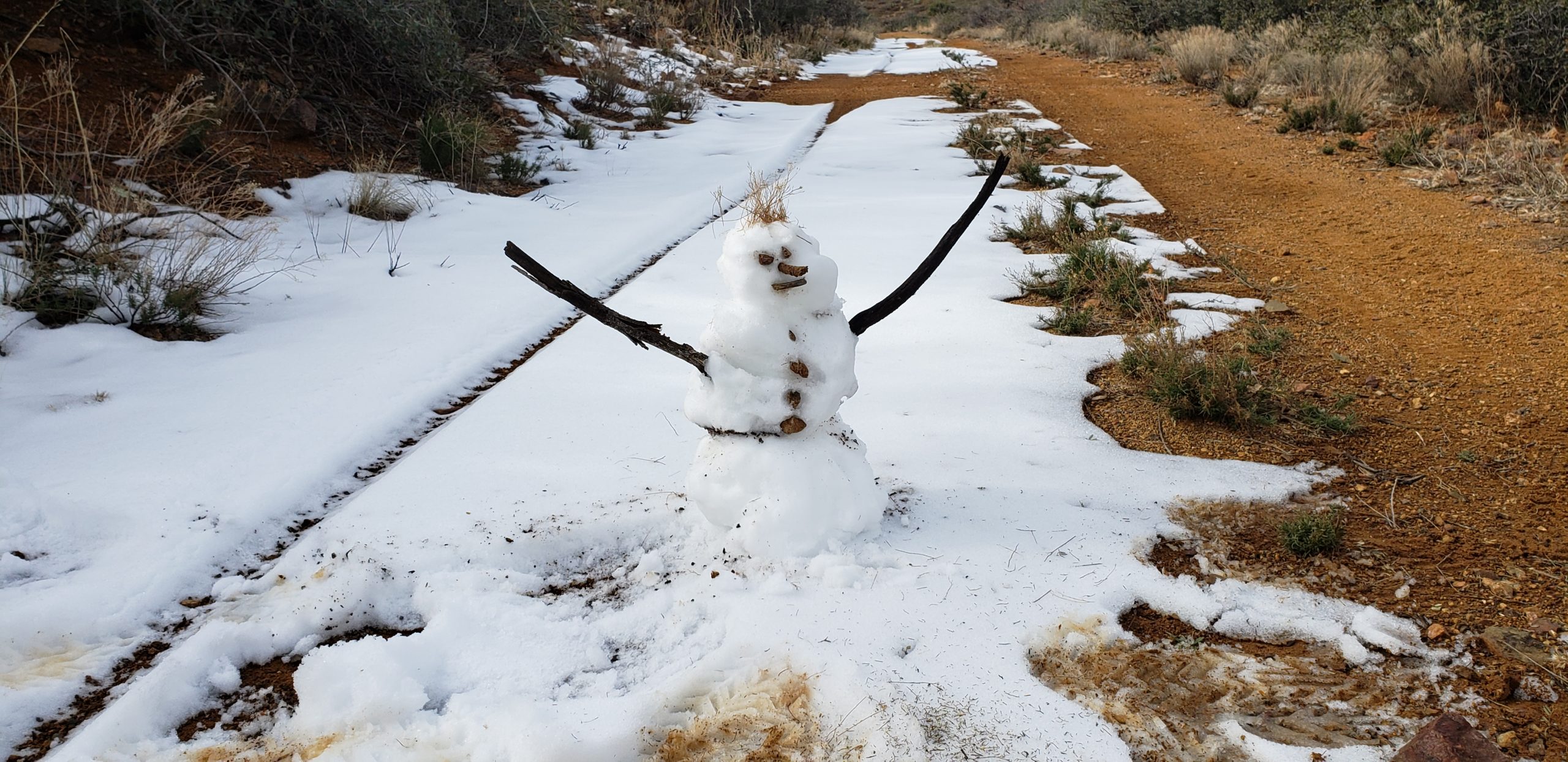
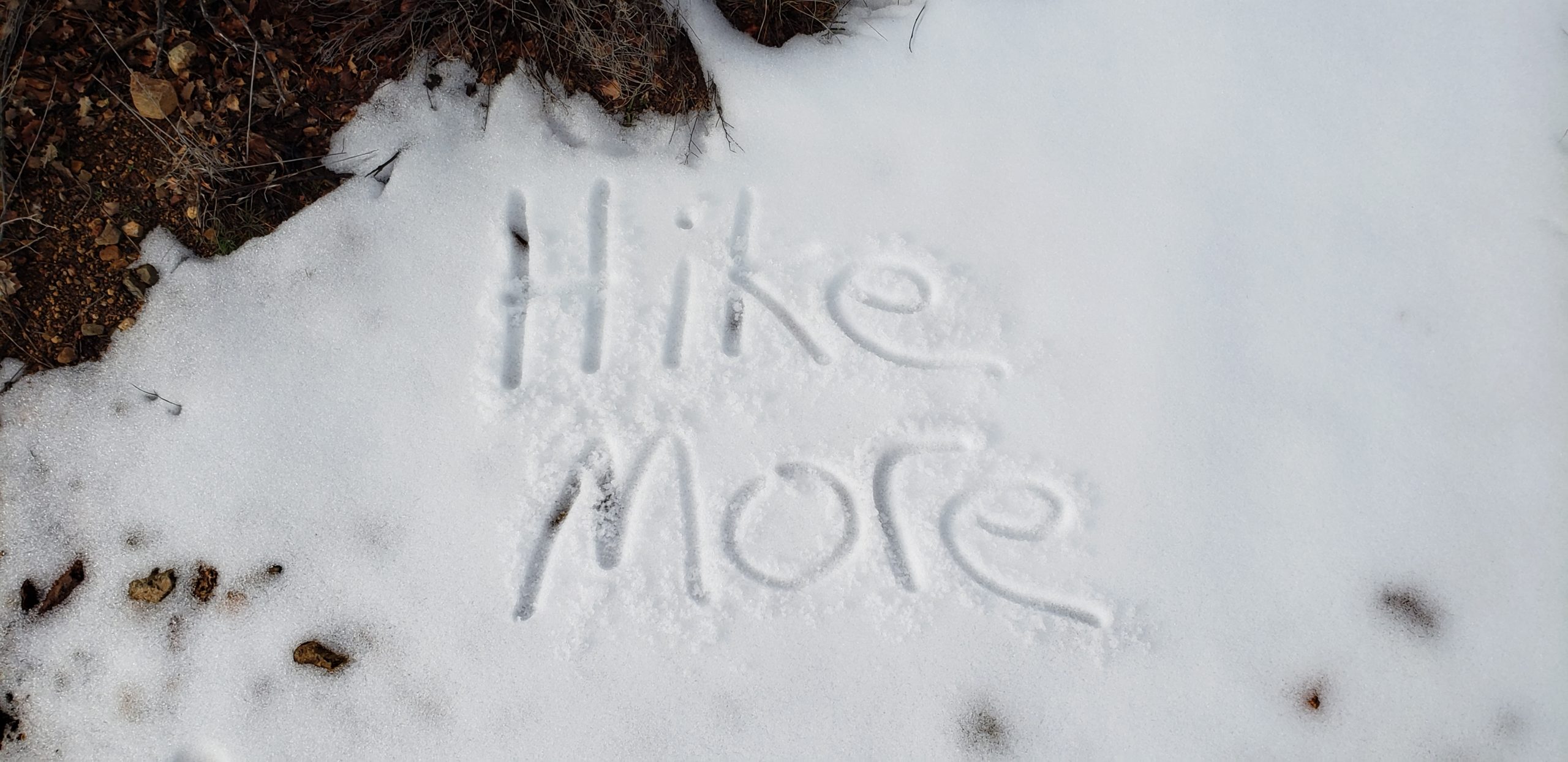
With some light patches of thin snow from a recent storm, we had some fun with it and made a ghetto snowman and wrote some friendly messages to any other potential trail users. There is a couple miles of road walk to start out here, but it was a good warmup for me to get my groove and find my pace.
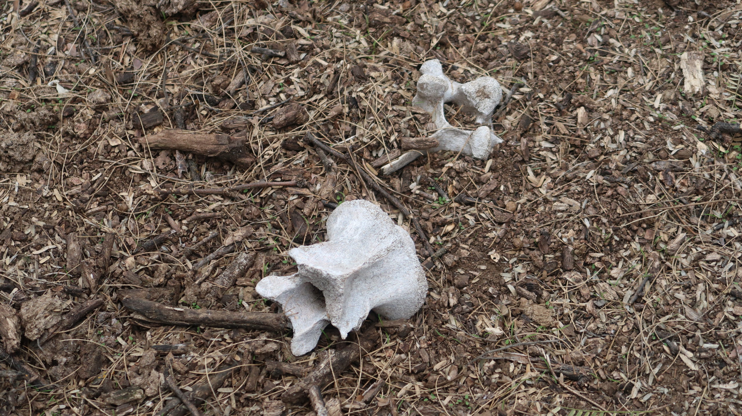
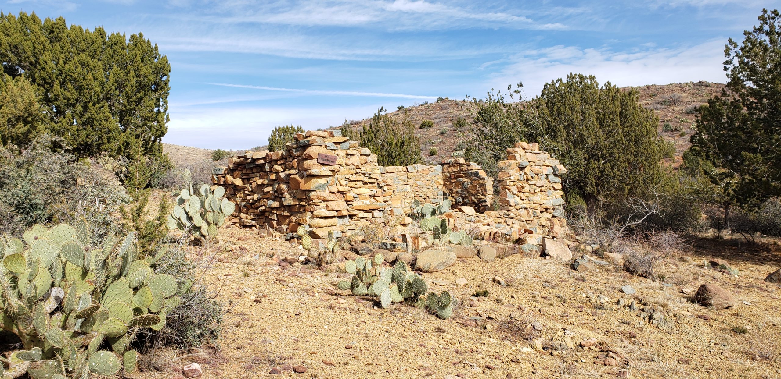
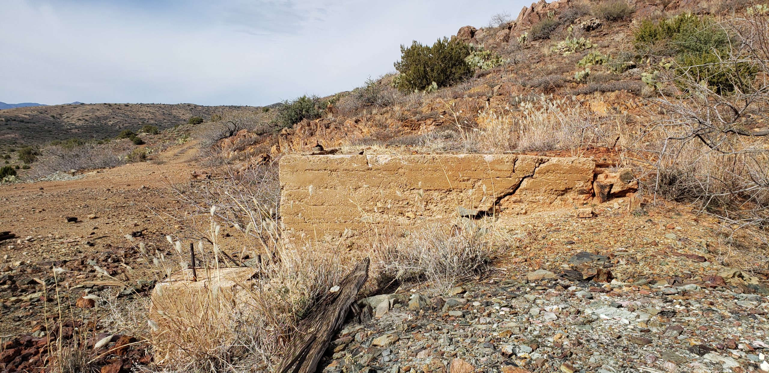
Before we know it, we are descending down into the valley that has my “unnamed wash” marked in it. During this descent, we came across some old mining rubble and structures. A quick break here and some pictures, and I felt confident that I had the energy to make it down to the wash and then back up the climb out of the valley.
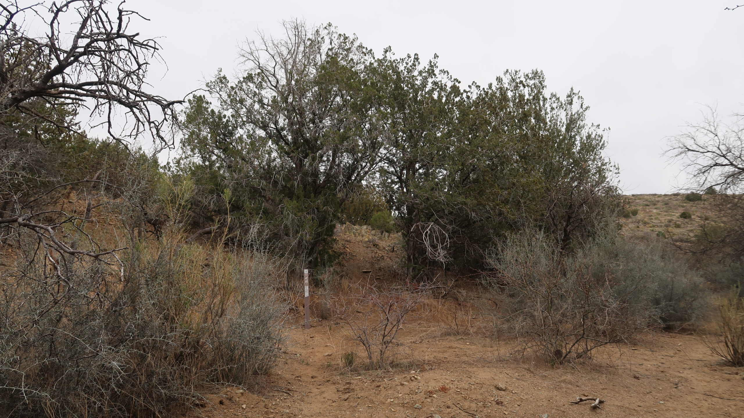
The trail stays moderately visible during the downhill. The desert gets a bit more lush as we get lower, and some route-finding is needed as you’re weaving around scrub and cactus, but it’s manageable. Just know you’ll end and the wash and it all works out. Before you know it, you come out of the vegetation to a moderate sized wash with some good erosion. It was dry when we crossed, but I’d expect it gets regular water in it after even minimal rain.
Ok, now turn around and ascend the valley past the mine an up the road walk and you’ve just relived the northbound version of this section. 7.5 total miles round-trip if you hike this partial section like I just did. It really is the easiest miles of the entire BCT for a healthy person, so it’s a quick hike. I was wiped when I was done and as of June 2020 this was the longest hike on any surface that I have completed. I’m glad I got it done when I did.
Black Canyon Trail – officially complete.